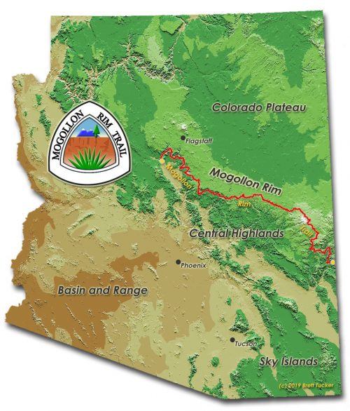
A few utility functions were created to help solve our maximum-length trail problem. Since most of you may not be interested in the code, I will first describe what each function does, and then append the source at the end for you to skip over.
First is report(graph, description=”), which reports of the number of edges and nodes of a graph, and some basic statistics. We will use our first example graph as an example. We make a small change to start with a Multigraph instead of a Graph, and to use ‘length’ instead of ‘weight’, to be more compatible with OSMnx later.
report(G)
16  nodes
21  edges
total length 0.02 miles
number of odd intersections  : 10
number of even intersections  : 6
number of 2-way intersections  : 5
number of trailhead/terminus  : 1
The function draw(graph, title=”) displays our simple graphs, and can handle Multigraphs.
draw(G)
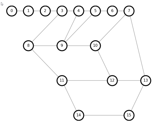
Trailhead/terminus points are dead-ends that cannot be included in a grand circuit, so it is computationally easier to eliminate them early, with delete_ends(graph).
Continue reading “Trails and Graph Theory 6: Utilities”