My cunning plan was to hike from Santa Fe Plaza to Taos Plaza on the SF2T, then return on the blue bus and start the NNML from Santa Fe Plaza, ultimately ending back at the Plaza.
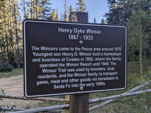
Start S8 mile 70.1, near junction of Skyline and Winsor
End S8 mile 75.4, trailhead near Aspen Basin, and then ride home
Miles walked: 5.3
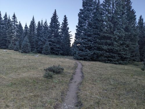
Winsor passes by a meadow, a popular camping spot.
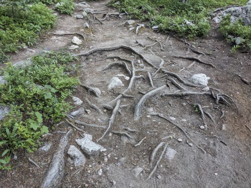
Winsor has tons of hikers, as a convenient entry into the Pecos Wilderness from Santa Fe. Exposed roots are sometimes one side-effect of a heavily traveled trail.
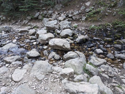
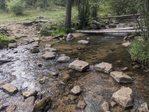
Stepping stones across Rio Nambe are still in place, from an NMVFO project several years ago.
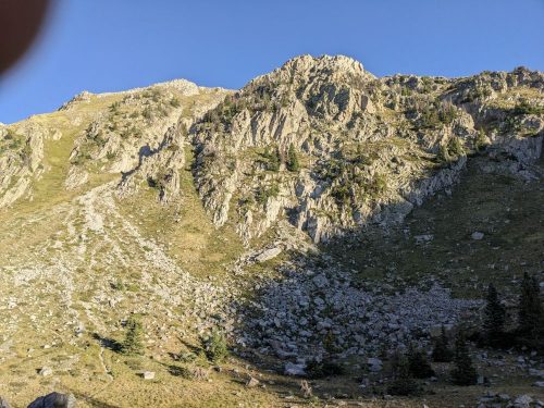
After passing dozens of hikers, I get to the wilderness boundary, and start the descent towards the Santa Fe ski area.
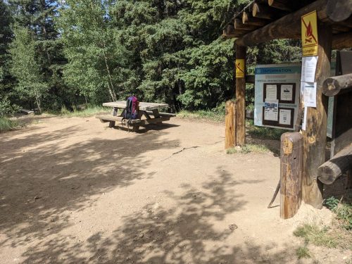
I stop at a picnic table by the Winsor trailhead, and work on equipment until my ride arrives. I fondly remember this table, the site of a crosscut saw class a few years ago.
Thank you, Cairn, for the ride back home.
I have less than one day of hiking to get to Santa Fe plaza and complete this route. The Blue Bus stops at Aspen Basin, so it will be easy to get back here. I will return, eventually, later this year.
End S8 mile 70.1, near junction of Skyline and Winsor
Miles walked: 23.4
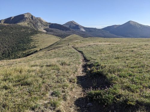
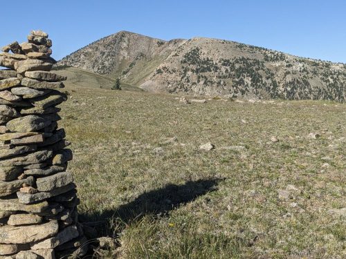
The route continues on Skyline to Truchas Lake and Truchas Peaks.
Soon we get to Trailriders Wall, a high ridge with good views on both sides.
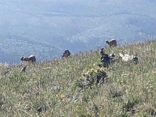
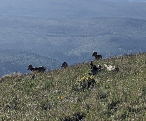
Bighorn sheep are resting just down from the ridge, not bothered by my presence. In this photo you can just see the horns.
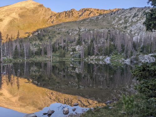
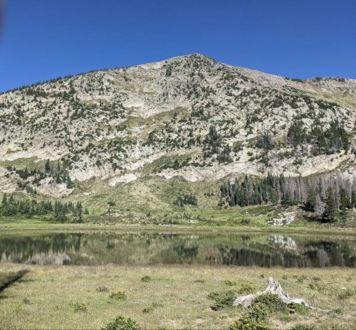
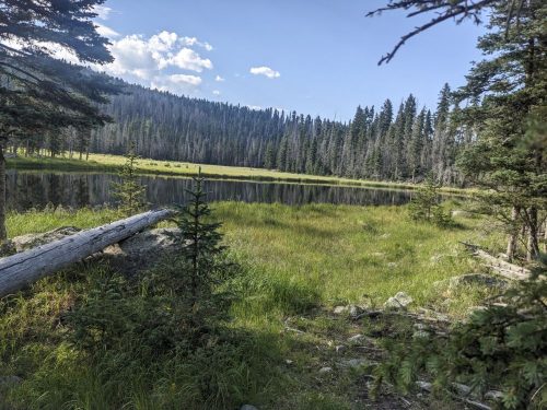
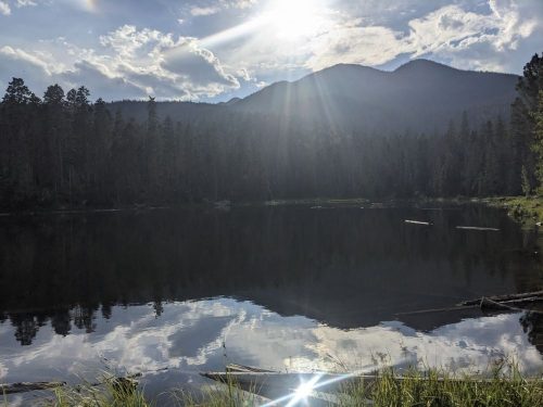
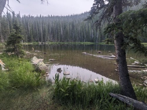
Soon I get to Pecos Baldy Lake.
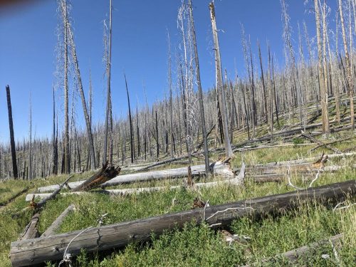
The Jaroso Fire 2013 burn scar is mostly clear of blowdowns.
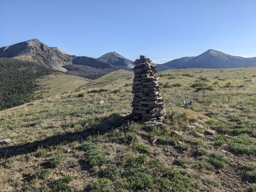
Our route diverts from Skyline to Jacks Creek/Dockweiler/Cave Creek Trail, at a considerable loss of elevation which will need to be regained. My databook says we are leaving Skyline because of heavy damage from the 2013 fire along Rito Perro. That was over 10 years ago, and surely crews have worked on Skyline since then. I will need to investigate, on a later trip.
I am gratified to see that the stepping stones I helped place across Cave Creek years ago on an NMVFO project are still in place.
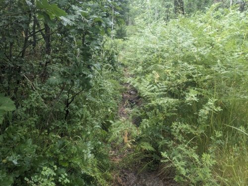
Cave Creek Trail is now thick with summer growth, especially ferns.
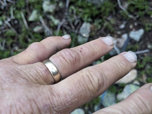
I wrap my injured hand with a bandana, and dip in cold water at each stream crossing, making an effective cold pack to reduce swelling.
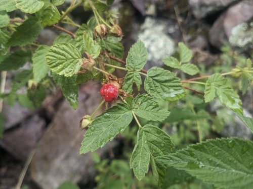
Sometimes I find wild raspberries and strawberries, packed with flavor in a tiny package.
The route rejoins Skyline. Stewart Lake and a nearby pond provide a welcome break for a snack.
Spirit Lake is dark with tanins.
Near another intersection with Skyline and Winsor, near Puerto Nambe, I get cell signal, and brief my support staff, Cairn and Dotter, about my injury. They are both medical professionals, and let me know that my hike is over– I need to get to a doctor ASAP to prevent permanent loss of function in my hand. Today my entire hand is swelling, and my ring cannot be removed, and is getting uncomfortable.
Tomorrow Cairn will pick me up.
Finished audiobook Project Mastodon, by Clifford Simak. (Time travel on a shoestring– what could go wrong?)