Rio Nambe Trail 160 and Lower Nambe Trail 403 Survey 2020

Returning from the Skyline project, I scouted the Rio Nambe Trail and Lower Nambe Trail for future NMVFO work. Hiking out on the Winsor Trail, the Rio Nambe Trail intersection is 3.3 miles from Winsor Trailhead at the Santa Fe Ski Area.

Descending down to water, the trail is rocky in places, and trekking poles were a help. They also assist with a few water crossings, but no wet-foot crossings are needed.

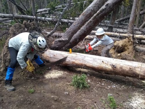
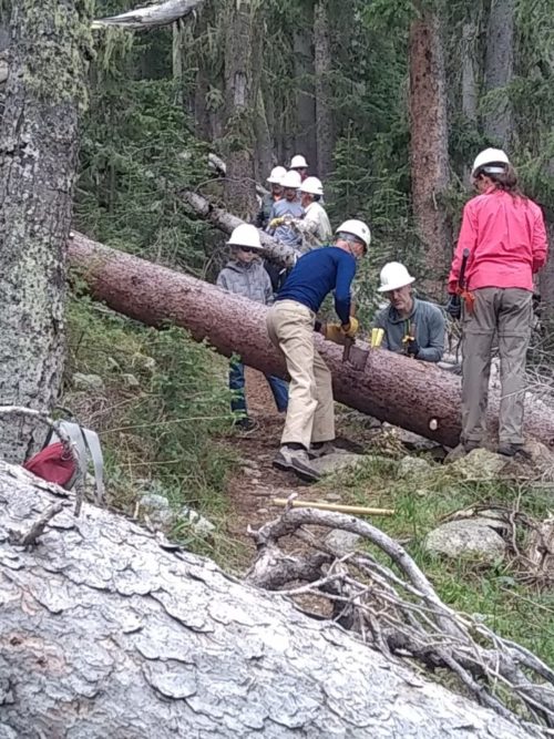
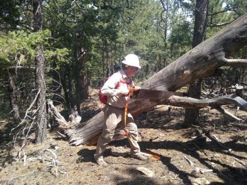
Near La Vega Meadow the trail becomes faint for a short period, but otherwise is well-defined. Over the 2.5 mile span from Winsor to Lower Nambe Trail, the altitude goes from 10.5k to 8.9k. Over 48 logs were across the trail, mostly the small diameter aspens, perhaps a victim of tent moths that have ravaged large groves of aspens in the Pecos for the past three years. In only one spot several aspen limbs had fallen suspended a few feet from the ground, requiring a climb. Oddly, no lopping was necessary, at the height of summer growth.

Continue reading “Rio Nambe Trail 160 and Lower Nambe Trail 403 Survey 2020”

Skyline Trail 2020

Twelve NMVFO volunteers met at the Santa Fe ski area parking Thursday, June 25, at Winsor Trailhead and hiked into the Pecos Wilderness along Winsor Trail 4 miles to the junction of Skyline Trail. We set up a base camp in a meadow known as Puerto Nambe. For the next few days we used crosscut saws to clear 67 fallen logs along 2.5 miles of the Skyline Trail towards Penitente Peak. The Pecos chapter of the Backcountry Horsemen helped by transporting our tools and equipment to the base camp, and then departed, planning to return Sunday.

Continue reading “Skyline Trail 2020”

Osha June 2020

Don, Dennis, Mike, and I returned yet again to the John F Kennedy Campground trailhead to work on Osha Trail in the Manzano Wilderness, hiking up 4.25 miles and 2000 feet elevation gain to clear about 17 blowdowns with a crosscut saw or dragging off the trail. We also blocked about a dozen false paths caused by game trails, short-cutting switchbacks, and temporary reroutes around blowdowns.

We were not able to get all the way to Osha Peak this outing, so perhaps we will come in from the east for a follow-on project, parking at Capilla Peak campground. Upper Osha has many more false trails, and past work thinning trees near the peak makes it hard to spot old trail by looking at saw marks.

Related: