Returning from the Skyline project, I scouted the Rio Nambe Trail and Lower Nambe Trail for future NMVFO work. Hiking out on the Winsor Trail, the Rio Nambe Trail intersection is 3.3 miles from Winsor Trailhead at the Santa Fe Ski Area.
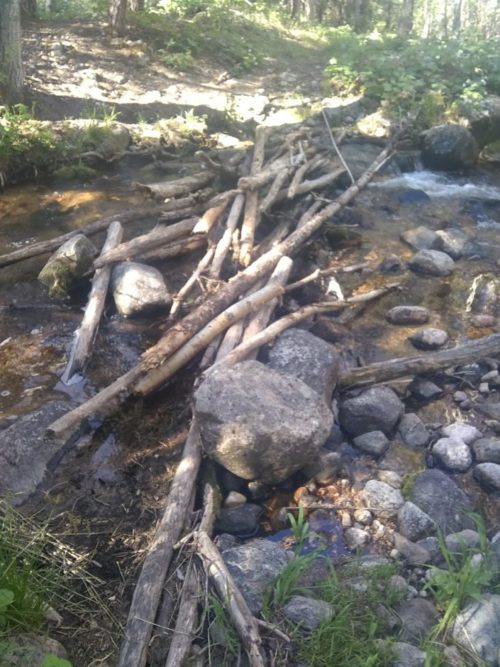
Descending down to water, the trail is rocky in places, and trekking poles were a help. They also assist with a few water crossings, but no wet-foot crossings are needed.
Near La Vega Meadow the trail becomes faint for a short period, but otherwise is well-defined. Over the 2.5 mile span from Winsor to Lower Nambe Trail, the altitude goes from 10.5k to 8.9k. Over 48 logs were across the trail, mostly the small diameter aspens, perhaps a victim of tent moths that have ravaged large groves of aspens in the Pecos for the past three years. In only one spot several aspen limbs had fallen suspended a few feet from the ground, requiring a climb. Oddly, no lopping was necessary, at the height of summer growth.
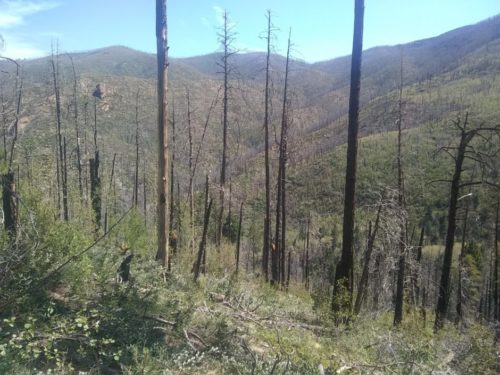
At the intersection with Lower Nambe, the Rio Nambe Trail goes another 6.5 miles, exiting the Pecos Wilderness, heading to Nambe Reservoir and Nambe Falls Campground. I turned sharply uphill on Lower Nambe Trail, known as the ‘”elevator shaft”going from 8.9k to 10.7k in only 1.4 miles. The trail had several short steep-graded switchbacks, not engineered to the high standards of Winsor or Skyline trails. In spite of the steepness and apparent lack of erosion control features, the trail is in decent shape, not damaged by running water. 66 logs are across the trail, a mixture of spruce and aspen, mostly all small diameter. Halfway up the trail goes through a recovering burn area.
At the top, Upper Nambe intersects Winsor, 1.15 miles from the trailhead. From trailhead to around the loop and back is about 8.4 miles.