MRT 2021 Day 12, April 16, Friday
• Start S3 mile 68.6 of 70.4
• End S4 mile 24.1
• Miles walked: 25.9
Until the next town the route stays north of the Rim a couple of miles or so. While it might be attractive to stay right on the Rim, provided that canyons are not causing detours, water sources help determine the route. And soon native lands boundaries (Apache) will also be a factor.
Hiking out of Forest Lakes in early morning, I pass a frozen puddle. It is certainly colder up here past the Rim, at 7.5k foot elevation. I need to wear extra clothing while hiking for most of the day. The terrain tends to be flatter than when on the Highline, hiking in the shadow of the Rim. Though we go up and down canyons today, they are shallow, not steep.
A series of dirt roads and wild horse trail lead to Black Canyon Lake.

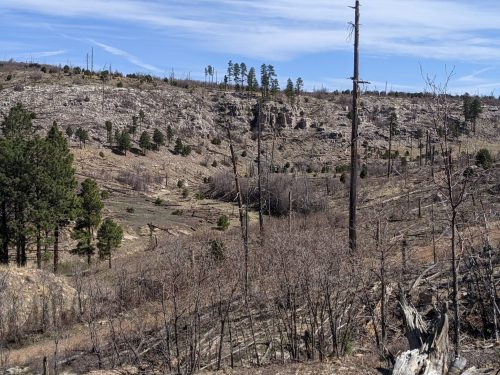
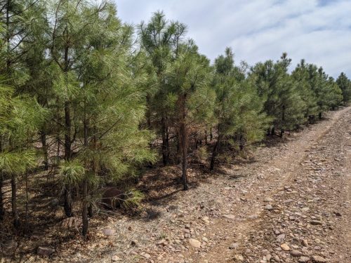
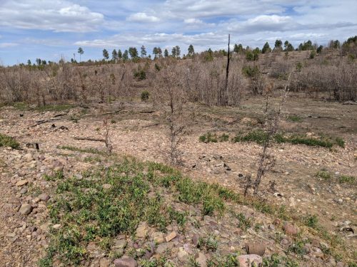
The route is in a burn area for much of the morning. Ponderosa reproduction is triggered by fires, and young trees crowd together, needing thinning.
Wild horses appear several times today.
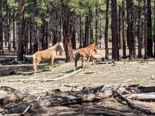
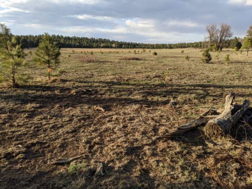
In the old burn area, fire had thinned trees and undergrowth, allowing grass to thrive. Along one ridge between canyons, I saw deer, elk, and wild horses grazing.
A ridge has a mixture of Ponderosa, juniper, and some kind of deciduous tree that seems to be suffering. Then I realize it is Gambel oak, and not dying, it is just April at 7.5 k feet, and the trees have not started leafing out yet.
I camp at the edge of a meadow. Wild horses call out through the night.