MRT/GET 2021 Day 30, May 4, Tuesday
• Start “seg27 detour water’, new bypass for Monticello Box
• End 28050 on Shipman Trail
• Miles walked: 23.8
What happens when you want to travel east, but all the ridges, canyons, and roads are oriented north-south? When you on the GET, you do a lot of cross-country (XC) navigating, going straight up one ridge and down into the drainage, several times in one day.
Starting out, my route does some road walk and then XC to rejoin the main GET route.
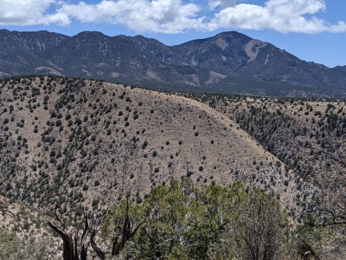
The rest of the morning is a series of XC along drainages and up and down ridges, separated by road sections. The route visits a few tanks, all dry, so there are no water sources until late in the day.
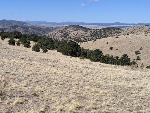
The biggest and most impressive XC was across Kelly Canyon. The route goes cross-country along an open ridge 2.5 miles just to find the one spot to cross with no cliffs on either side.
In the background of this photo is the San Mateo Mountains, where we are headed.
After plunging straight down the deep canyon and back up, heartbreak when we still have go XC past a few more ridges to get to Burma Road, and this road is known for its own canyon crossings.
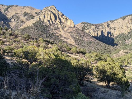
Getting to Shipman Trail, entering the Apache Kid Wilderness in the Cibola National Forest, is of special interest to me. I plan to lead a backpacking trail project for NMVFO in the fall of this year on Shipman, and this GET section hike is partly to do recon on the trail.
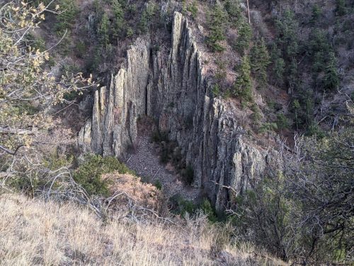
Just a short distance on Shipman, I see some sawing and lopping opportunities, and some false trails to close, and some tread to clear. Tomorrow I will have a better idea.
Finished audiobook Attack Surface, by Cory Doctorow.