MRT/GET 2021 Day 33, May 7, Friday
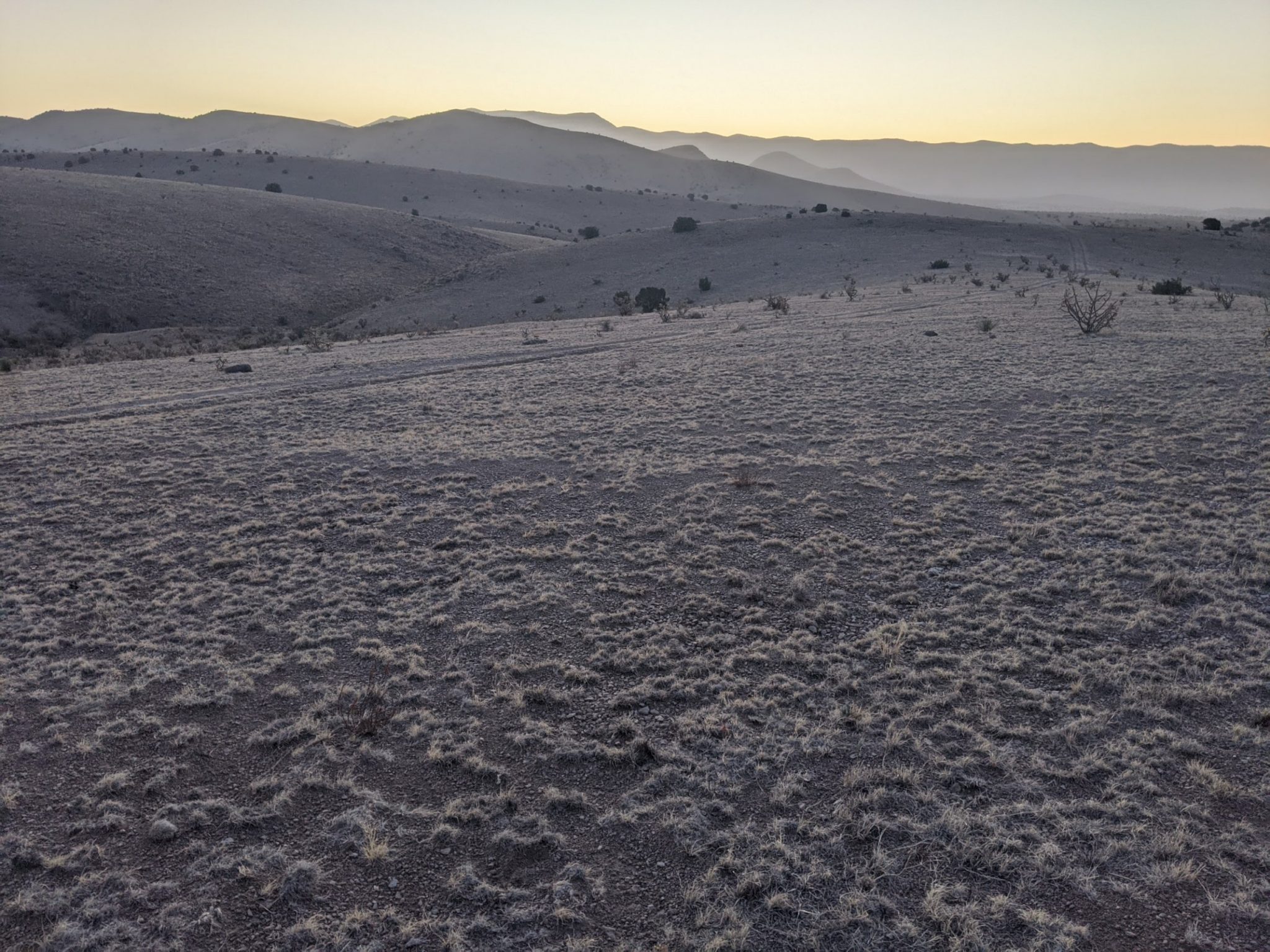
• Start 30070 about to start Milligan Hills XC
• End Magdalena, NM
• Miles walked: 28.2
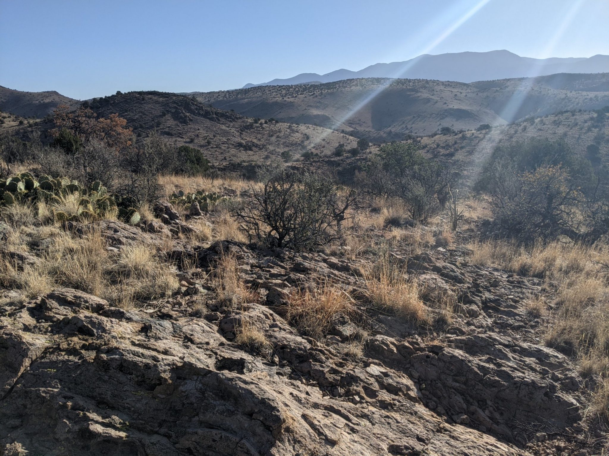
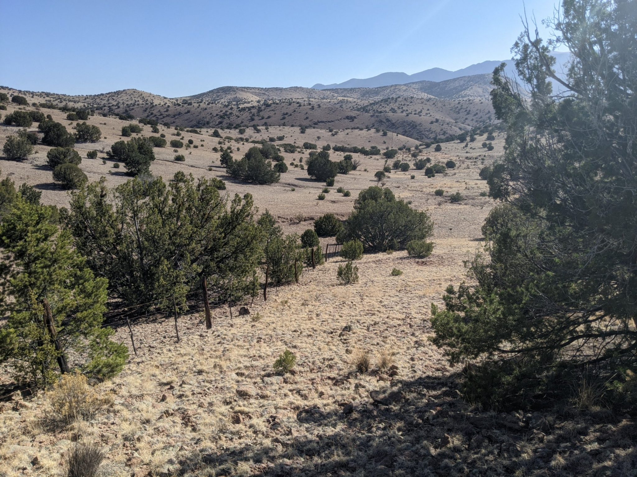
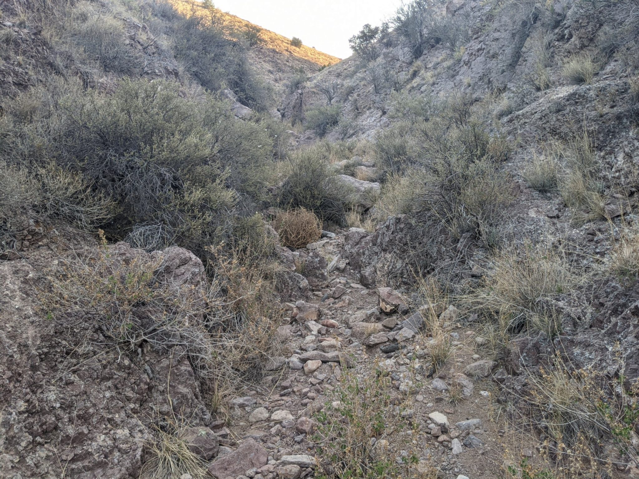
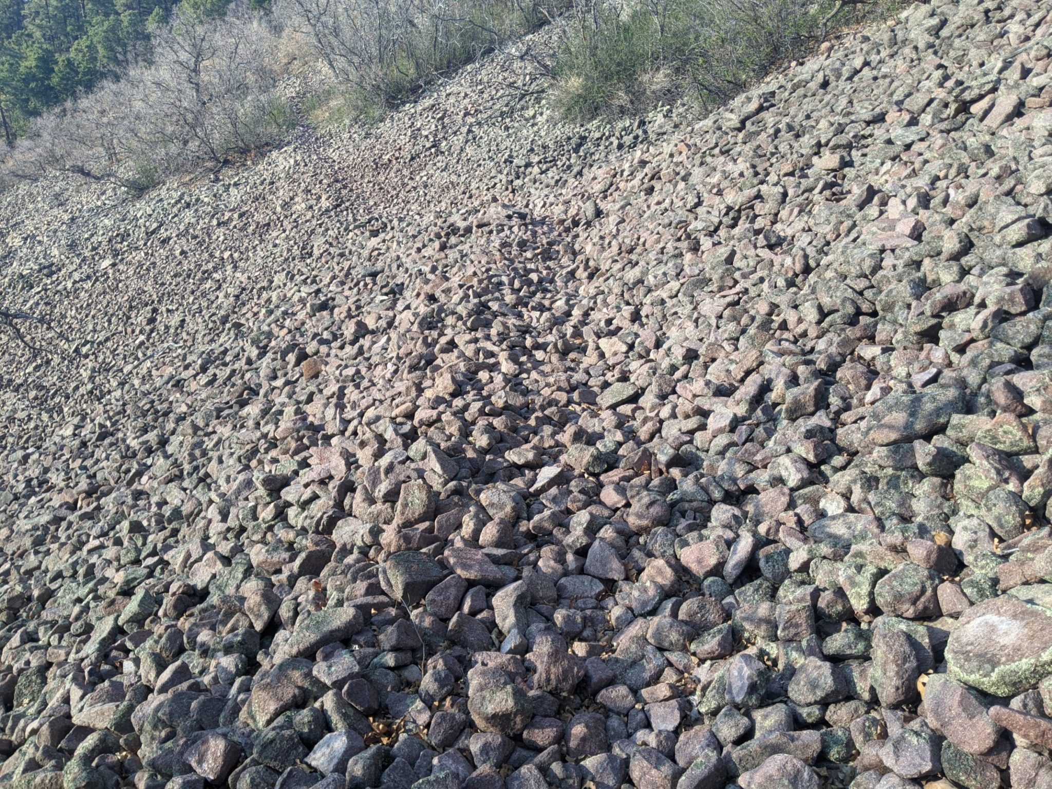
The day begins in the Milligan Hills on the approach to the Magdalena Mountain Range, playing a curious cross-country game of a sequence of directions, half a mile east along a fence line, then go up an arroyo until finding old two-tracks, and so on, all with an implied aim of navigating around blocks of private land, state land, and BLM.
Finally at mid-day comes the start of the Magdalena ascent, going along dirt roads and one long cross-country ascent to Mills Cabin, and the first water found since Potato Canyon yesterday. Then a final climb on Mills Canyon Trail to the ridge that links North Baldy and South Baldy.
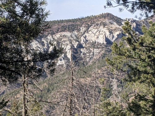
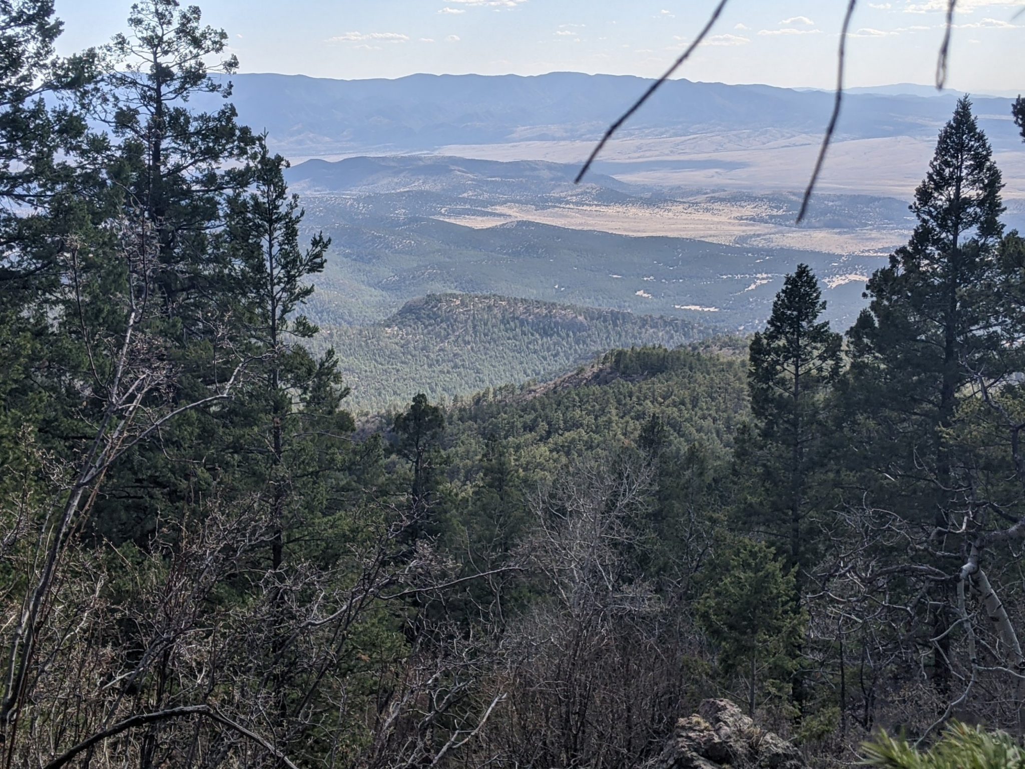
I get to the ridge fairly late in the day, around 5PM, so finishing the ridge before dark looks improbable. Fortunately another option exists, an alternate route down using Hop Canyon Trail, five miles of easy downhill to Hop Canyon Road, and another few miles roadwalk to Kelly Road and Madgalena. The views are not as good, but good enough.
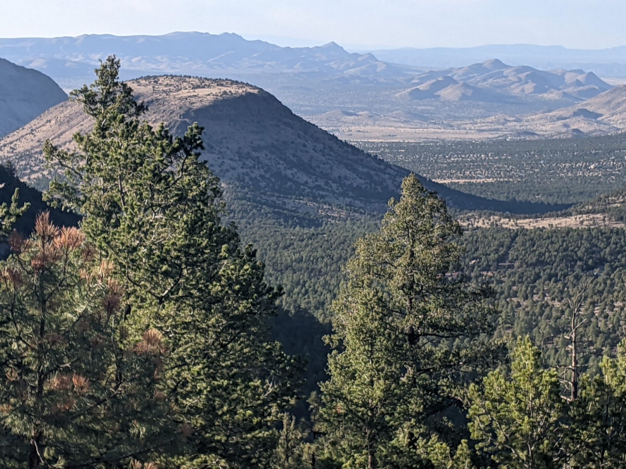
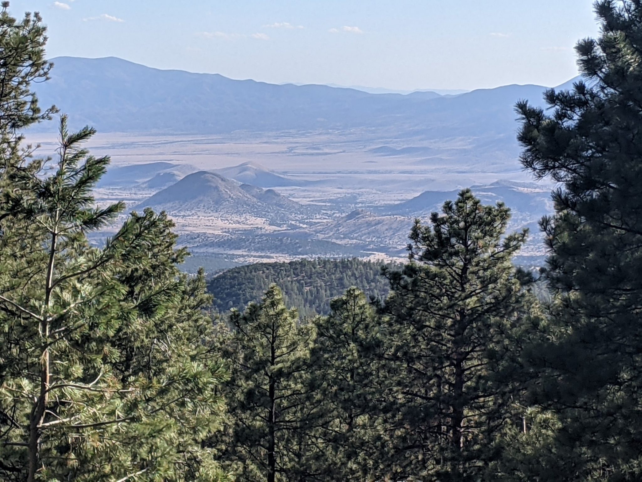
Also, I had inside information. The NMVFO worked on Hop Canyon Trail last year, and cleared it of all downed trees. So after Apache Kid and many of the of New Mexico trails on the GET, it was delicious to descend on 5 miles of good trail with only five new blowdowns that could not be pulled off the trail by one tired hiker.
On the roadwalk into town, no one wanted to offer me a ride, so I arrive in Madgalena after dark, around 9PM. Although the first hotel’s office was closed, the next was open with good room rates. And Family Dollar was open to 10PM, unusual for a small town, so I was able to get resupply and dinner. After rinsing out trail clothes in the sink, I am now ready for the next adventure.