MRT 2021 Day 17, April 21, Wednesday
• Start S5 54.0 of 58.6 along Railroad Grade Trail
• End S6 mile 14.0 along W fork Black River
• Miles walked: 4.6 + 2.2 Greer access + 2 2 + 14.0 = 23.0
My goal today is to resupply in Greer quickly, so I can hike out and get past the next high elevation adventure and down lower, for a warmer night.
Greer seems to be a cute little community of vacation homes and rental cabins. I get into town before the PO opens, so I go next door to the library and use wifi. My box at the PO is my last on the MRT. I am skipping the traditional resupply village of Blue, taking the Blue bypass option, but I need to carry more food.
I treat myself to a big breakfast.
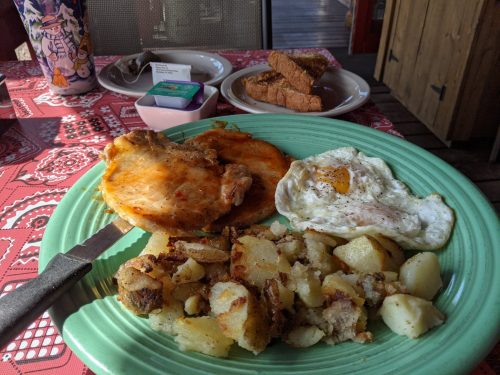
The cute cafe has porch seating. The day is cold and windy, but outside dining spares other customers the hiker smell. Later I hike to the convenience store for snacks and to charge electronics, and am hiking out by 11AM, pretty swift for a town stop.
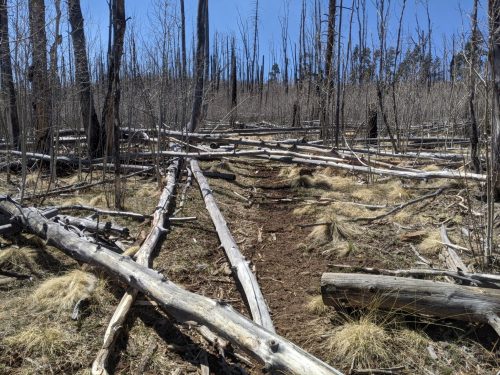
The trail out of town goes through a burn area with several downed trees, but not too bad to climb over.
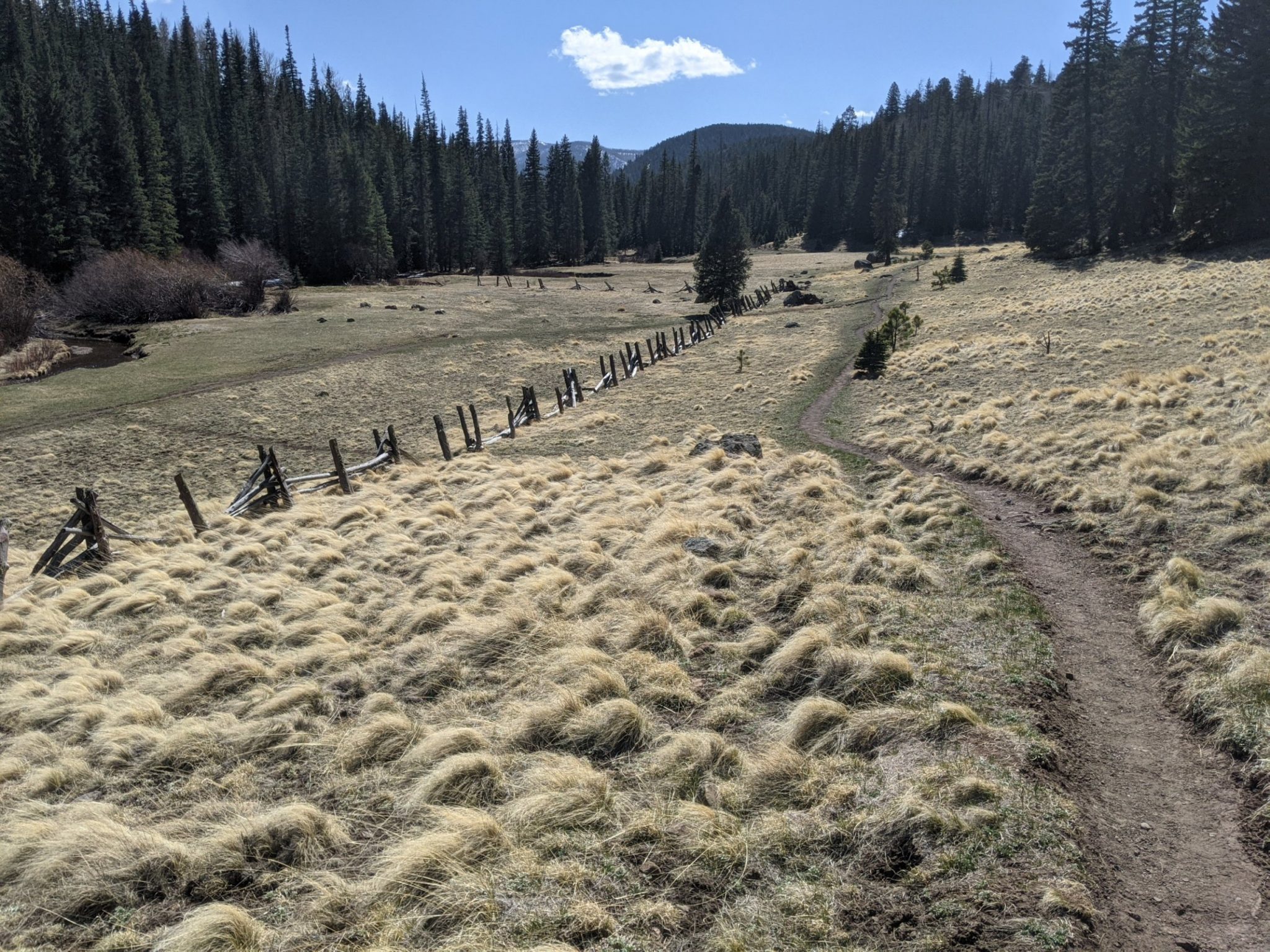
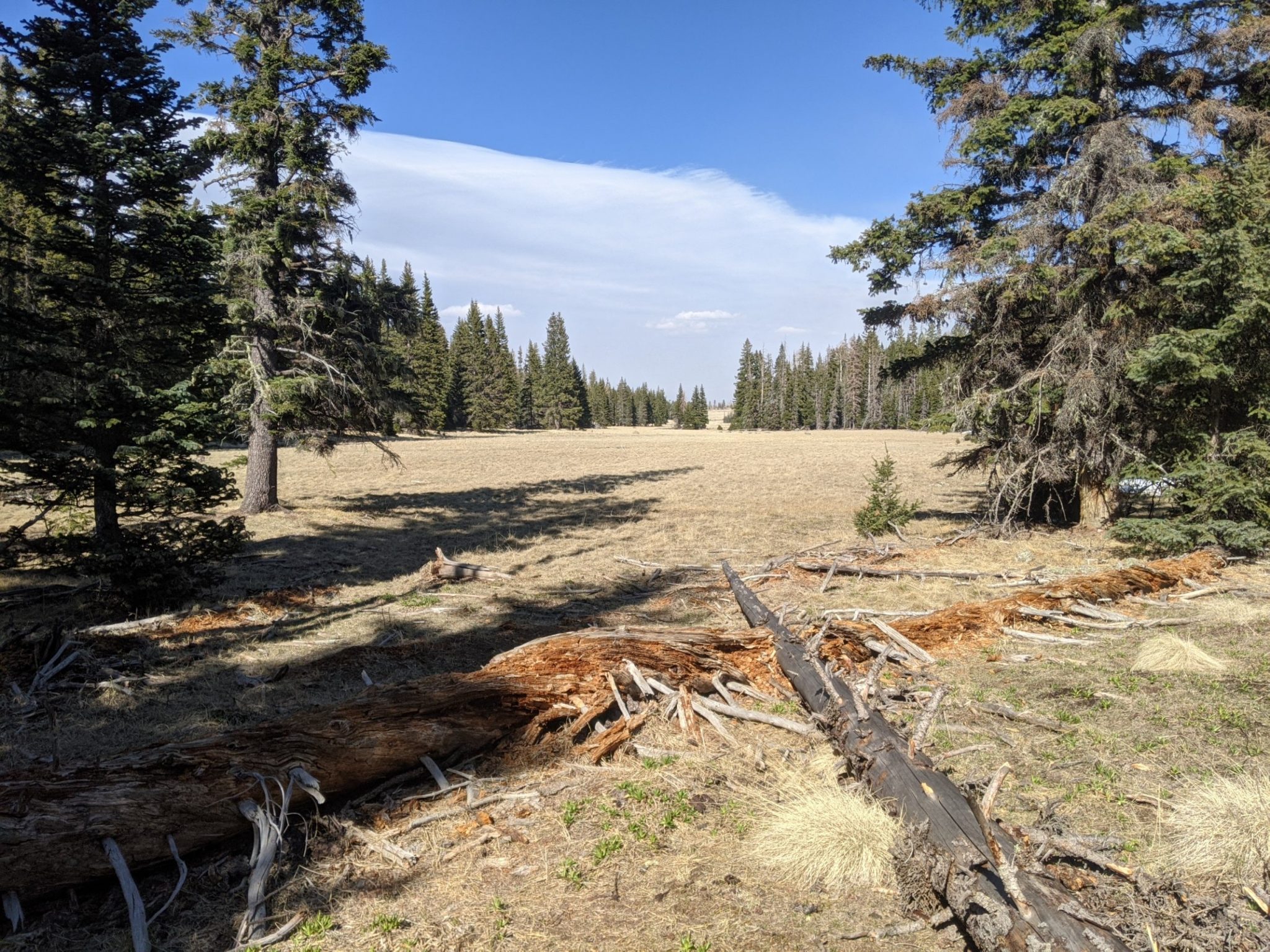
Mount Baldy Wilderness is a small wilderness area. The summit of Baldy Peak, 11.4k, is on tribal lands. We are taking a trail without panoramic views, but we do get to enjoy thick mixed conifer forest mixed with frequent mountain meadows.
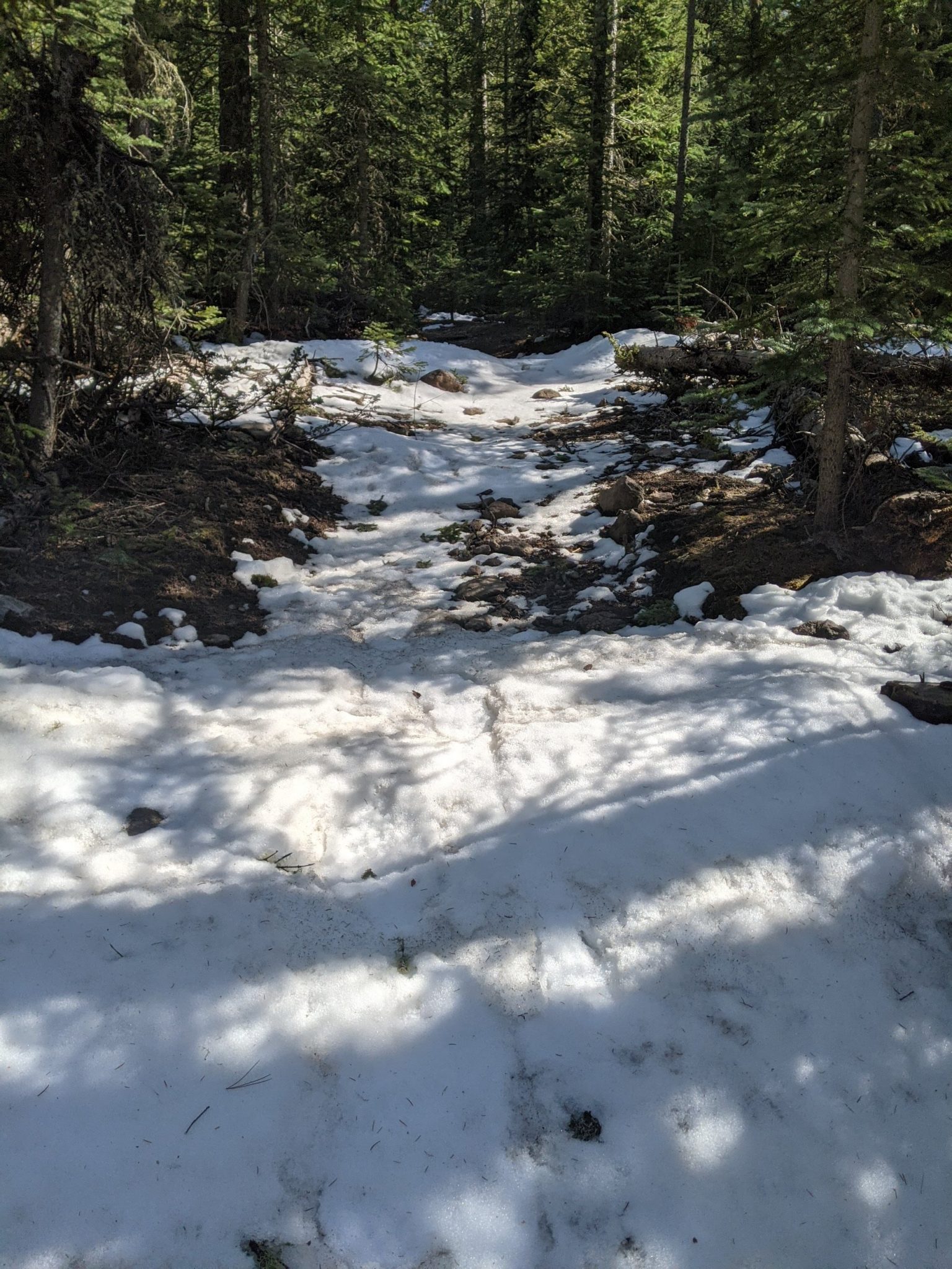
Patches of snow are frequent, and the trail climbs up to 9.5k foot elevation. Water sources are abundant due to the snow melt.
Out of the wilderness, the route goes on some cross country adventures, and down some roads, to Thompson Trailhead. Going a short distance down along a river, I set up camp late. Tonight’s elevation is 8.7k.