- NNML day 25, July 12, Sunday
- Start S8 mile 70.1, near junction of Skyline and Winsor
- End S8 mile 75.4, trailhead near Aspen Basin, and then ride home
- Miles walked: 5.3
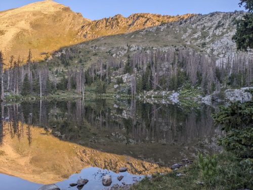
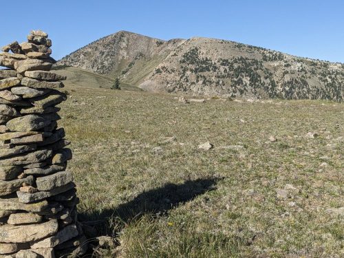
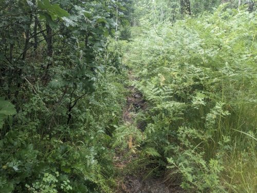
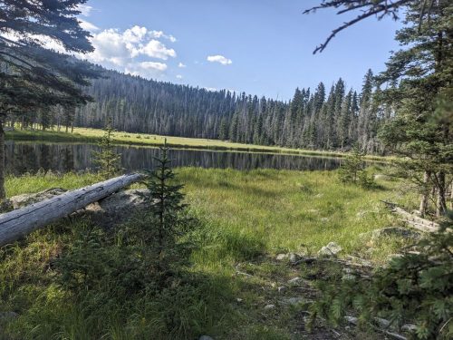
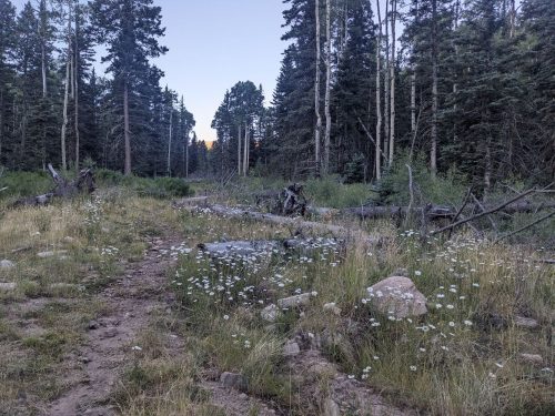
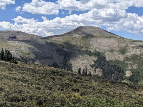
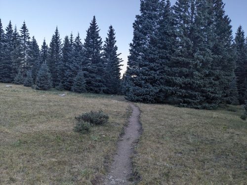
Winsor passes by a meadow, a popular camping spot.
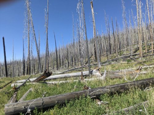
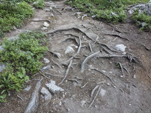
Winsor has tons of hikers, as a convenient entry into the Pecos Wilderness from Santa Fe. Exposed roots are sometimes one side-effect of a heavily traveled trail.
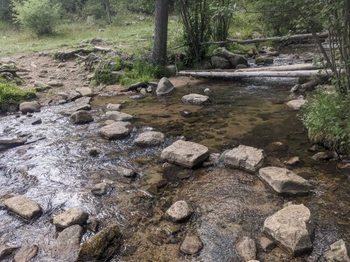
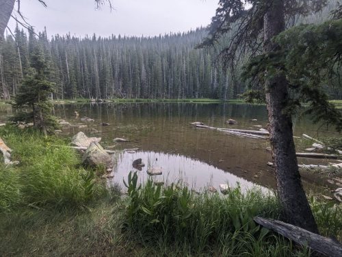
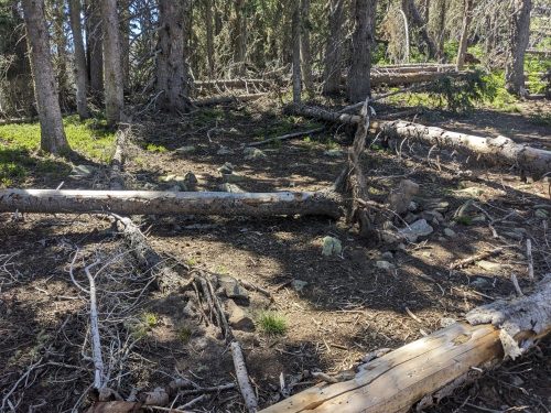
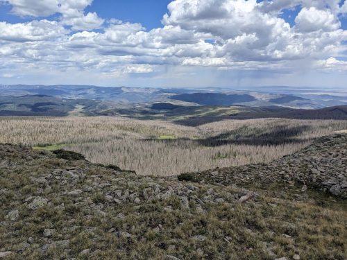
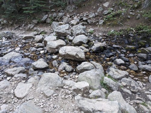
Stepping stones across Rio Nambe are still in place, from an NMVFO project several years ago.
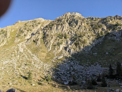
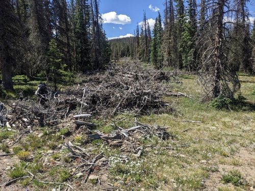
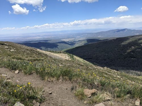
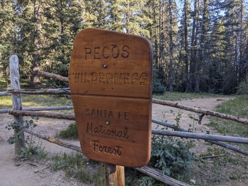
After passing dozens of hikers, I get to the wilderness boundary, and start the descent towards the Santa Fe ski area.
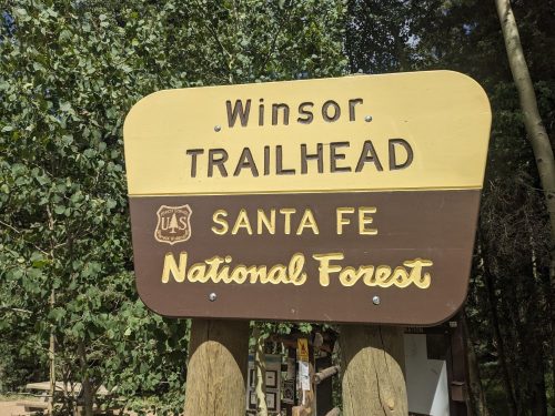
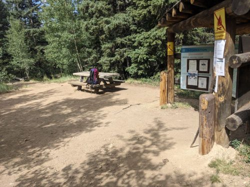
I stop at a picnic table by the Winsor trailhead, and work on equipment until my ride arrives. I fondly remember this table, the site of a crosscut saw class a few years ago.
Thank you, Cairn, for the ride back home.
I have less than one day of hiking to get to Santa Fe plaza and complete this route. The Blue Bus stops at Aspen Basin, so it will be easy to get back here. I will return, eventually, later this year.
Finished audiobook Ministry of Disturbance, by H Beam Piper.