MRT/GET 2021 Day 27, May 1, Saturday
• Start 22170 on ridge
• End 24060 north of Diamond Peak
• Miles walked: 24.2
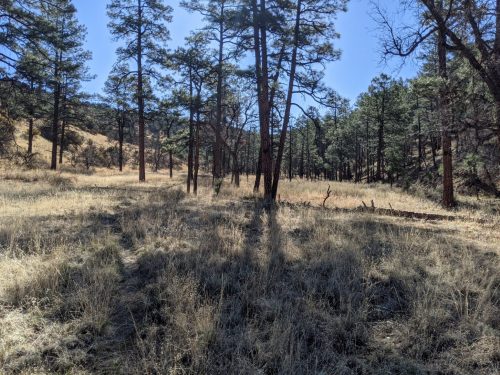
Off the ridge, the route descends into Tom Moore Canyon, rather flat, averaging 400 feet across, walled in by low rolling hills on both sides, dry and with no visible drainage along most of its six mile length, grass and ponderosa.
Afterwards the route exits the Gila Wilderness and passes a landing strip and work center in the small gap between the Gila Wilderness and Aldo Leopold Wilderness. The work center catches rainwater and saves into a cistern, and a faucet in the animal pens gives clear water.
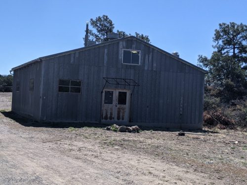
It looks like they added a vault toilet, unlocked, fairly recently next to Me Own work center.
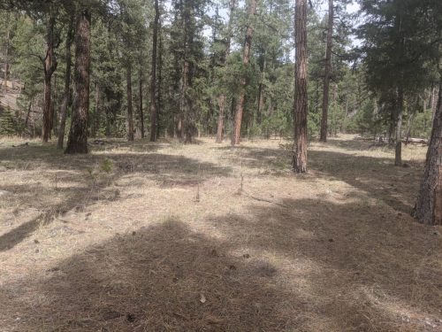
On Me Own Trail, the route stays flat among juniper and pine for a few miles.
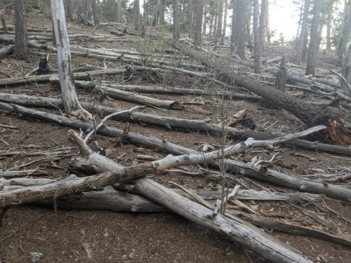
A deep descent to Lower Diamond Creek shows a winding mountain creek, very different than the meadow creek yesterday. Today’s creek runs to a trickle with scattered pools in a rugged untamed thick forest with many blowdowns.
Our trail climbs from the creek past jagged ridge crests.
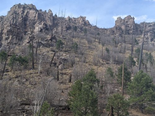
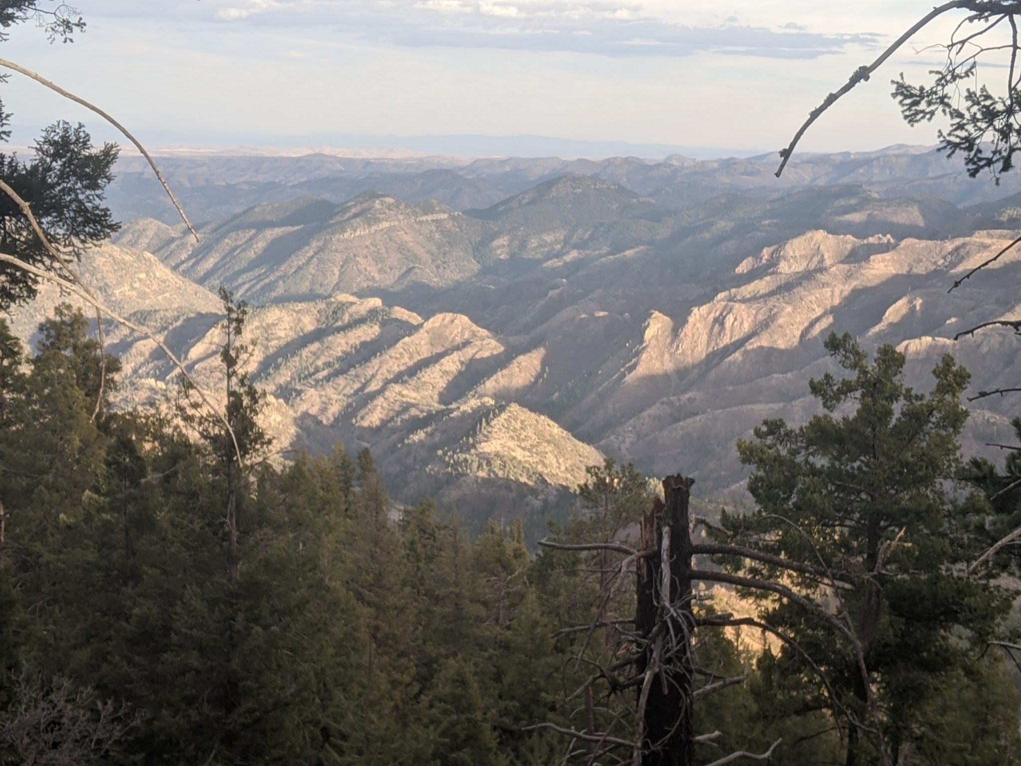
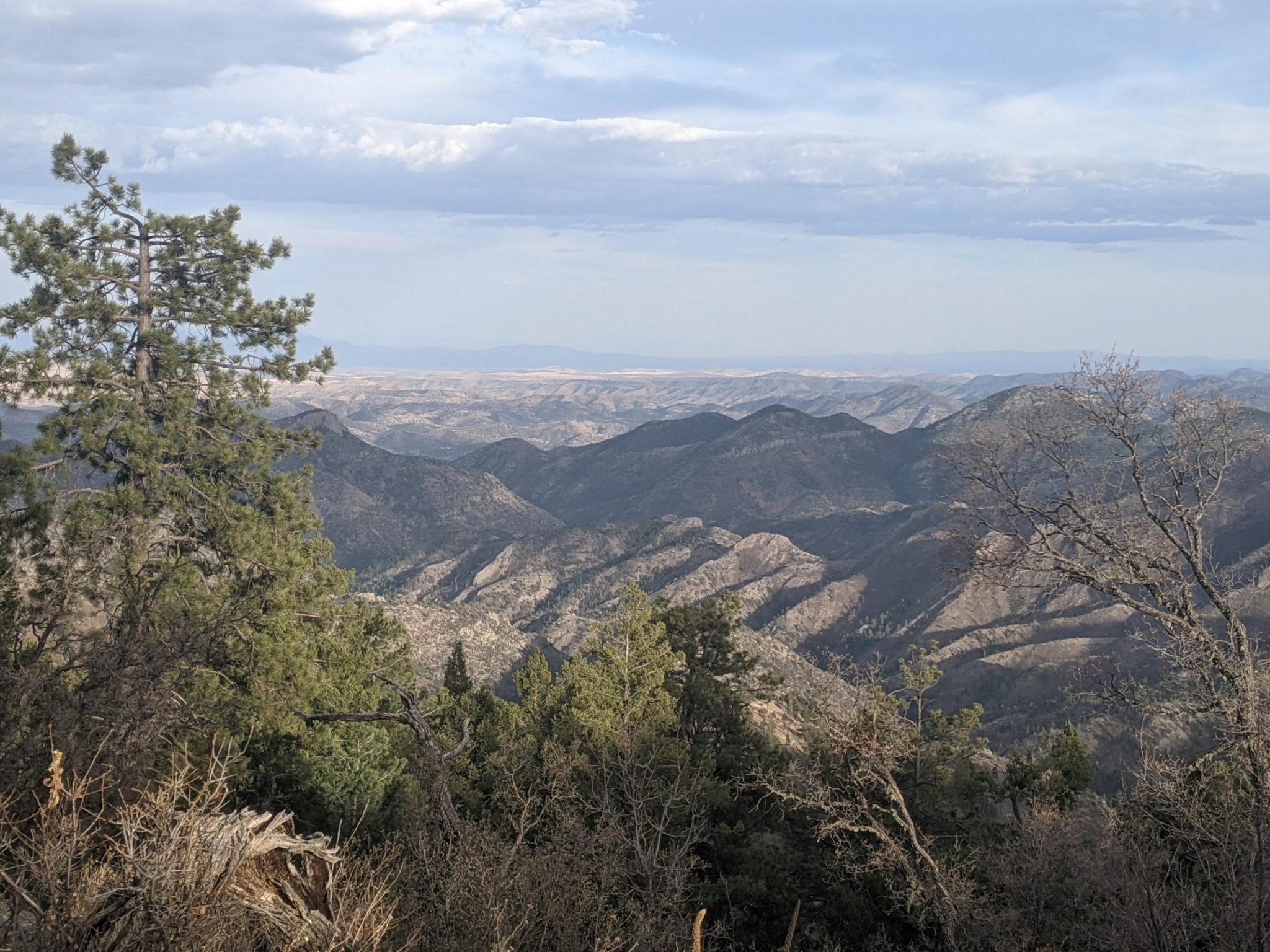
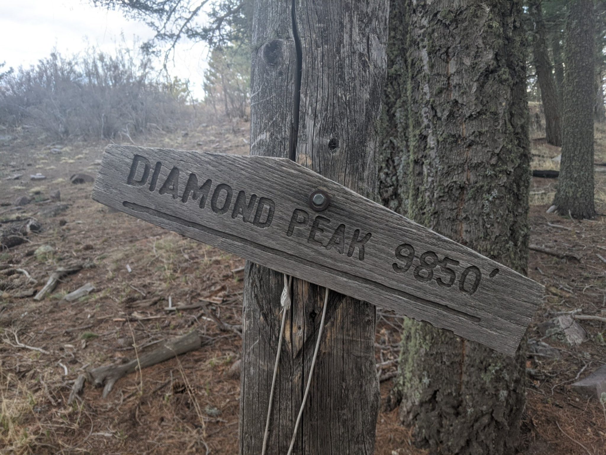
Joining the CDT, which we will share for a day or two, a steep ascent to Diamond Peak gives some views.
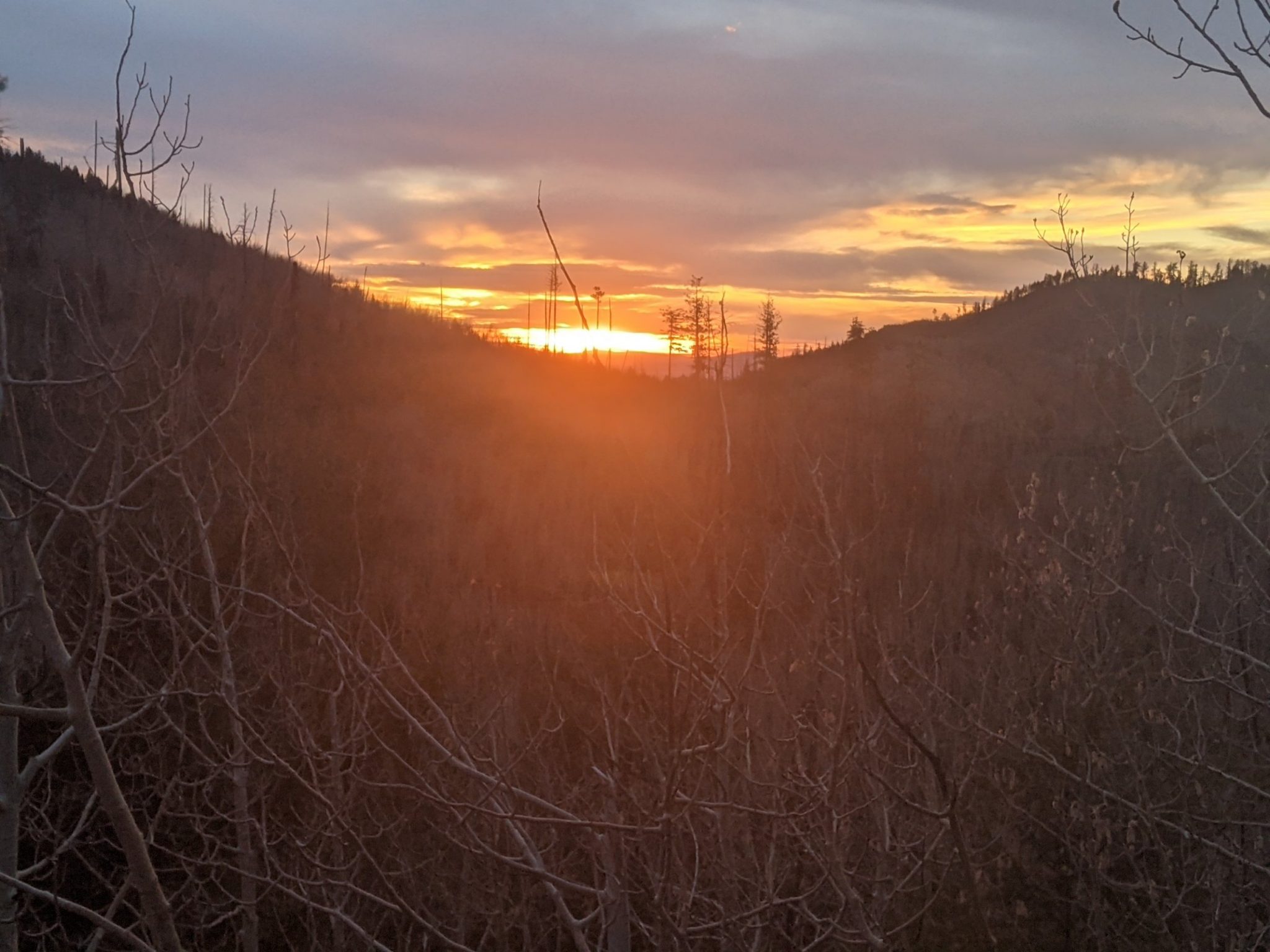
Running out of sunlight, I get down as far in elevation as possible and shelter from the wind in the trees to camp.