Crossing

  • NNML 2026 Day 15, July 2, Thursday
  • Start S4 mile 31 just inside Grande del Norte National Monument
  • End S4 mile 57 Questa overlook
  • Miles walked: 26

The morning is cool, with little breeze.

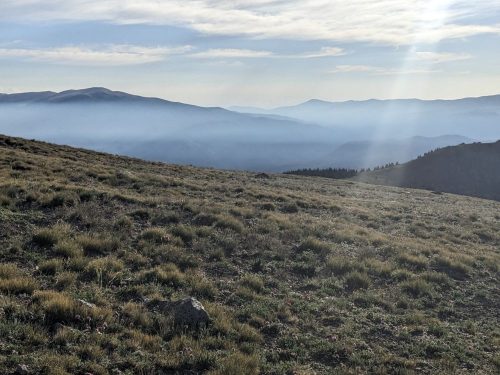
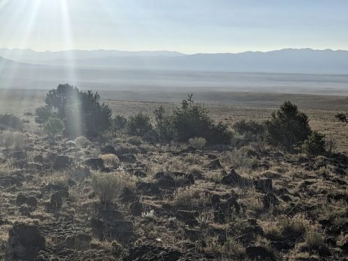
The fire that I spotted yesterday has spread smoke last night, to hinder distant views.

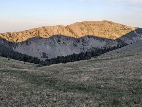
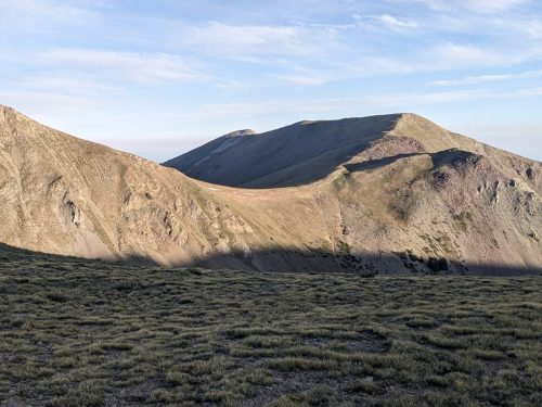
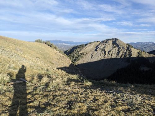
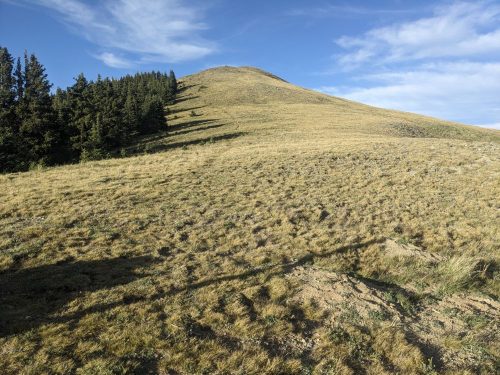
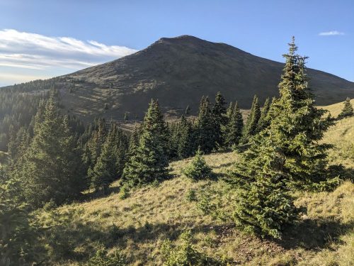
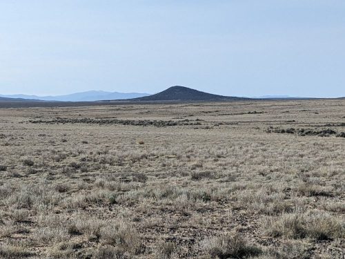
So take my word for it: I have to traverse a vast tree-less plain, with a landscape featuring a few isolated hills, that suggest volcanic action far in the past.

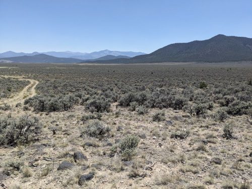
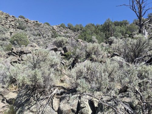
A good part of the day requires hiking cross-country, to some bearing. Scattered volcanic rocks and short shrubs make this challenging, and 2-tracks are certainly faster going.

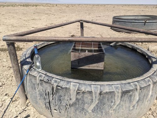
A water trough at mile S4 45.4 was a welcome sight, and the cattle allowed me to share this clear water, feed fro@ above-ground tanks.

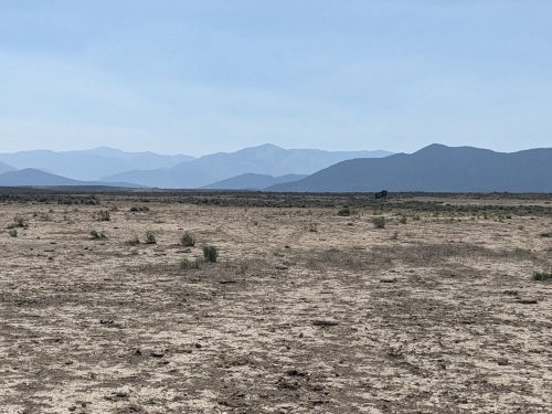
Closer to my traverse of the plain, the mountains around Questa are filtered through smoke.

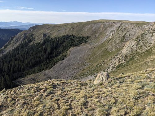
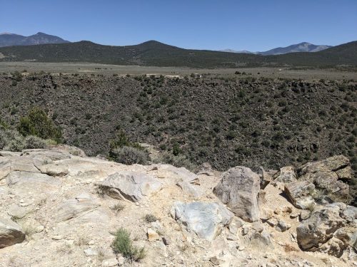
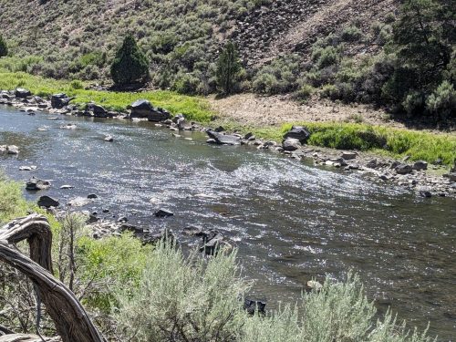
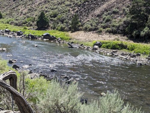
Closer still, a river rift is hidden from view. You really have to get close to realize the Rio Grande is crossing this area.

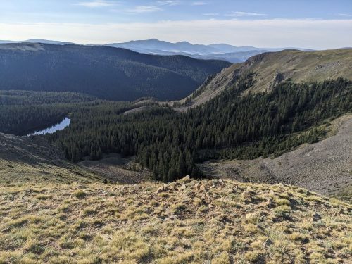
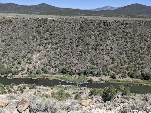
Hiking to the rim, now we can see that a river runs through.

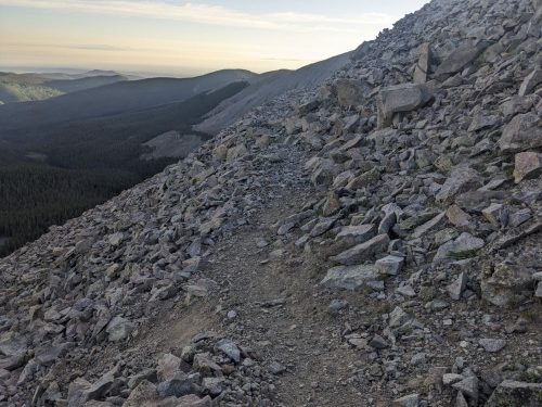
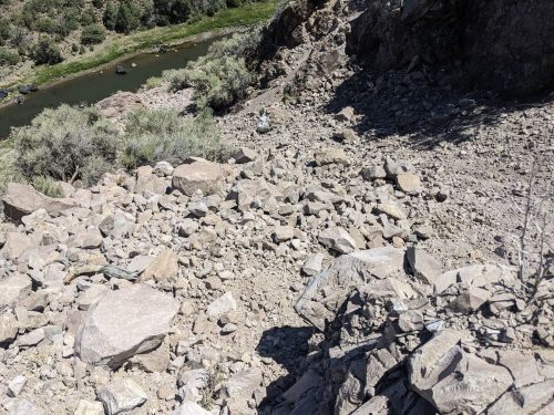
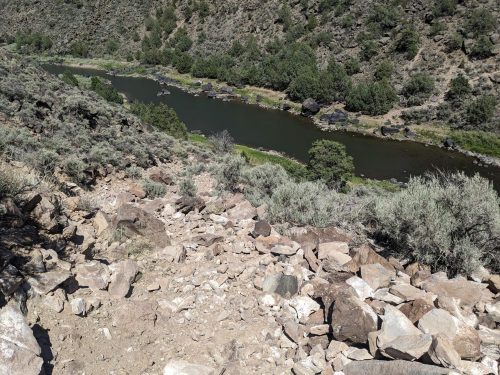
Starting the descent, I am surprised that the path is filled with loose rock and sand, not implanted boulder steps normally found on a steep slope. The trail building gets better past the beginning.

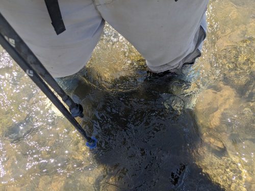
The wet-foot traverse here is called Rio Grande Sheep Crossing, and the spot to cross is marked with ripples caused by water flow over rocks.

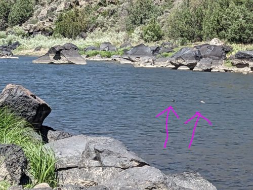
River otters swim upstream. They are hard to see in photos, but their characteristic swimming flips bring a smile.

The water does not even come up to the knees, no problem.

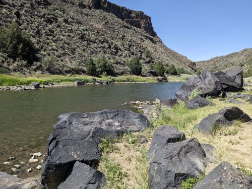
Now on the other side. Yay.

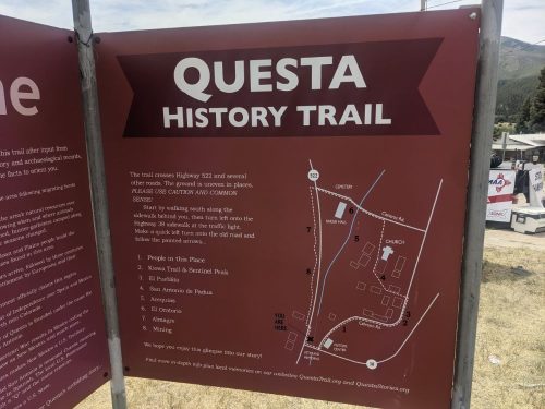
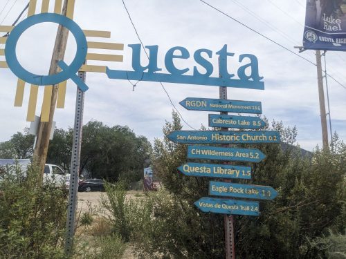
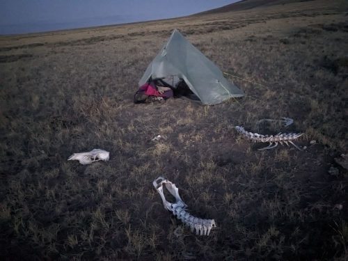
Without much more energy left, I climb 2-track and Las Vistas de Questa Trail to an overlook, and camp.

Finished audiobook The Island of Doctor Moreau, by H G Wells.

San Antonio

  • NNML 2026 Day 14, July 1, Wednesday
  • Start S4 mile 4 along Beaver Creek
  • End S4 mile 31 just inside Grande del Norte National Monument
  • Miles walked: 27

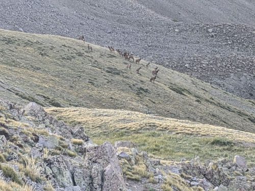
More elk send high-pitched alerts as I pass by. I head up the drainage of Diablo Creek, exit the lovely wild wilderness, and then go down Cañon Largo (long canyon) using cow trails.

Soon the Rio San Antonio joins the canyon. Miles are hiked.

Near a private inholding beaver dams hold water and wet the meadows.

Horses wait at a ranch. But as I pass by, trucks pull up and excited kids pile out, headed for their horsie friends.

After not much elevation change, the surrounding hillsides are brown and treeless.

More beaver dams are cited at my last chance to get water for a while. The water is silty– wish I had gotten water upstream.

Plenty of cattle are about. The beavers prove they can hold their engineering structures together even with beef tramping about.

The route climbs out of the drainage to a rim with scattered lava rock. It turns out the Rio San Antonio looks like a river valley from below, but a greenish slash or rift from above.

The route climbs down from the rim at a spot that is not so steep.

Last chance for pools of murky water from the San Antonio River. Now the ascent of San Antonio Mountain begins.

As I am climbing up 2-track, I can see a forest fire on a ridge to the south, perhaps ten miles away. Later I smell smoke.

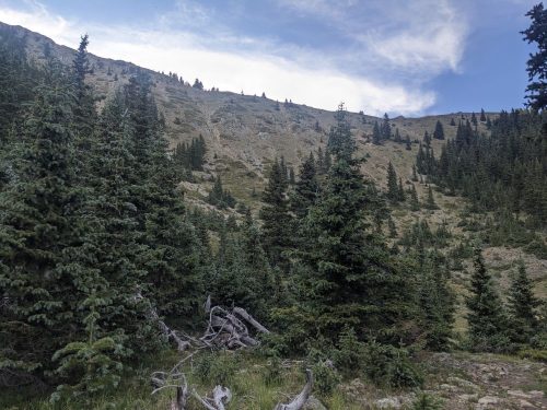
Part way up San Antonio Mountain is a well-constructed trail with switchbacks, not on any map. Perhaps it was used by sheep herders in the past?

Finally I get over the peak, with a preview of the plains below.

I have to do some final cross-country to avoid private land.

After a long day, I reach BLM land and pitch a tent.

Finished audiobook The Secret of Father Brown, by G K Chesterton.

High Step

  • NNML 2026 Day 12, June 29, Monday
  • Start S3 mile 74 of 78, beyond Lagunita Campground
  • End Cumbres Pass, and get a ride to Chama for resupply
  • Miles walked: 21

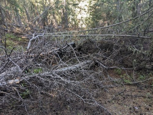
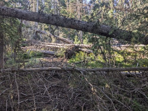
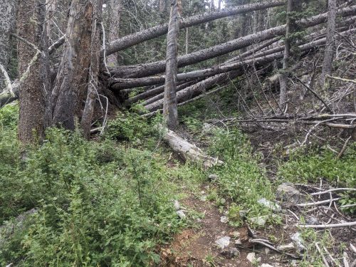
In this area, the forest floor is often filled with downed trees, coming down too often for the rotting process to clear them.

A good number of these downed trees are firs, succumbing to some disease or pest. Many standing dead firs are waiting for the next strong wind to bring them down.

Volunteers and CDTC staff try to clear downed trees from the trail, but it is an ongoing process. In this remote area, sawing crews can only come by so often, so each day a few dozen trees each will need to be stepped over, crawled under, or walked around. For trees tend to have a huge number of limbs, which adds to the obstacle.

After 4 miles today, the route reaches Brazos Ridge Overlook.

Now the NNML departs from the CDT, which it had joined since San Pedro Parks. But first, we will follow the 17 mile CDT resupply route to Cumbres Pass, to get a ride into the nearest town, Chama, and then return to this spot tomorrow.

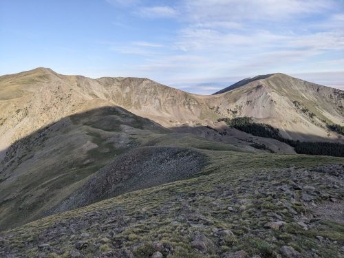
The resupply route continues along high ridge for a long while. The wind is cold and intense.

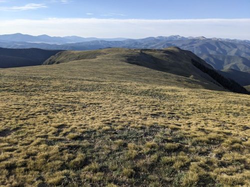
Later the route crosses a huge grass valley.

In fir and spruce forest, I notice that enough fir trees are missing, or standing dead and not making shade, so the forest understory is grass, instead of low-light plants.

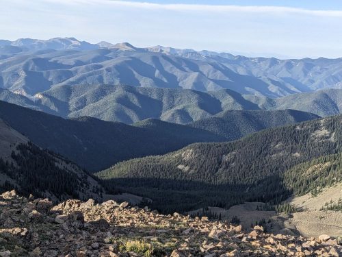
Close to my destination of Cumbres Pass, I climb another ridge, and can see Colorado at a viewpoint.

I must be in Colorado, because here is a columbine.

I am buffeted by high winds on the ridge, but eventually make it to the pass.

A pickup truck has a full load of people in the cab, but trail angel Daniel offers to let me ride in the truck bed, wedged in among a kayak and coolers. This means more wind.

A shower and clean clothes, washed in the motel sink, are a real treat. Tomorrow I return to the trail, with food for a few more days.

Finished audiobook Talents Incorporated, by Murray Leinster.