San Antonio

  • NNML 2026 Day 14, July 1, Wednesday
  • Start S4 mile 4 along Beaver Creek
  • End S4 mile 31 just inside BLM land
  • Miles walked: 27

More elk send high-pitched alerts as I pass by. I head up the drainage of Diablo Creek, exit the lovely wild wilderness, and then go down CaƱon Largo (long canyon) using cow trails.

Soon the Rio San Antonio joins the canyon. Miles are hiked.

Near a private inholding beaver dams hold water and wet the meadows.

Horses wait at a ranch. But as I pass by, trucks pull up and excited kids pile out, headed for their horsie friends.

After not much elevation change, the surrounding hillsides are brown and treeless.

More beaver dams are sited at my last chance to get water for a while. The water is silty– wish I had gotten water upstream.

Plenty of cattle are about. The beavers prove they can hold their engineering structures together even with beef tramping about.

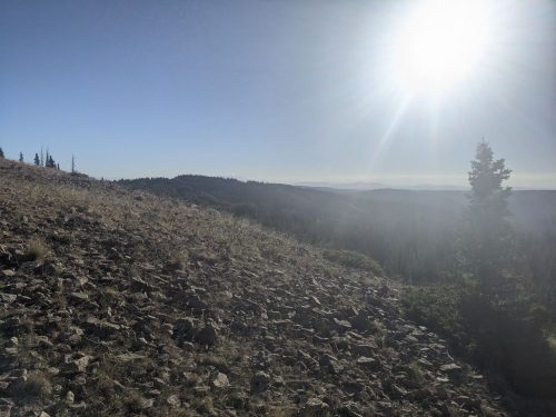
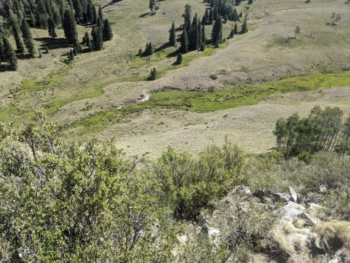
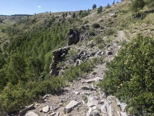
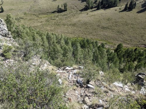
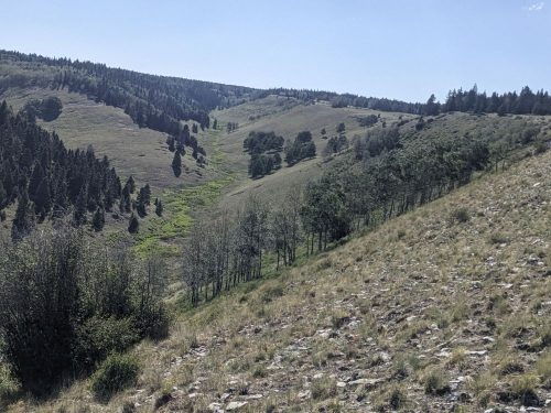
The route climbs out of the drainage to a rim with scattered lava rock. It turns out the Rio San Antonio looks like a river valley from below, but a greenish slash or rift from above.

The route climbs down from the rim at a spot that is not so steep.

Last chance for pools of murky water from the San Antonio River. Now the ascent of San Antonio Mountain begins.

As I am climbing up 2-track, I can see a forest fire on a ridge to the south, perhaps ten miles away. Later I smell smoke.

Part way up San Antonio Mountain is a well-constructed trail with switchbacks, not on any map. Perhaps it was used by sheep herders in the past?

Finally I get over the peak, with a preview of the plains below.

I have to do some final cross-country to avoid private land.

After a long day, I reach BLM land and pitch a tent.

Finished audiobook The Secret of Father Brown, by G K Chesterton.
High Step

  • NNML 2026 Day 12, June 29, Monday
  • Start S3 mile 74 of 78, beyond Lagunita Campground
  • End Cumbres Pass, and get a ride to Chama for resupply
  • Miles walked: 21

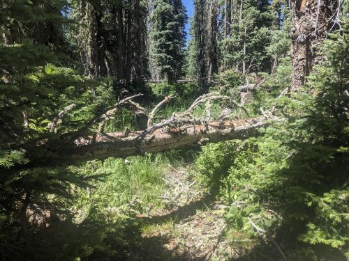
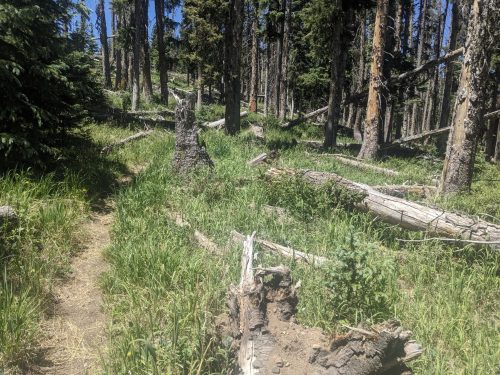
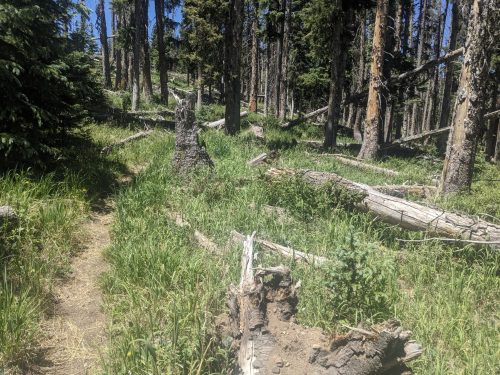
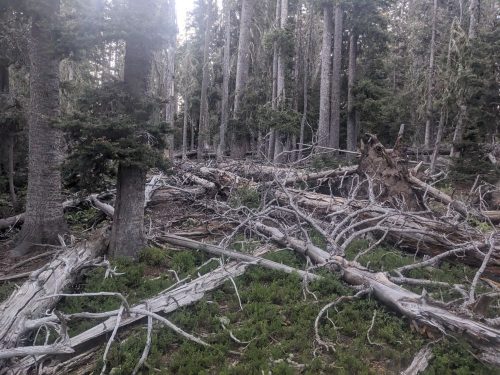
In this area, the forest floor is often filled with downed trees, coming down too often for the rotting process to clear them.

A good number of these downed trees are firs, succumbing to some disease or pest. Many standing dead firs are waiting for the next strong wind to bring them down.

Volunteers and CDTC staff try to clear downed trees from the trail, but it is an ongoing process. In this remote area, sawing crews can only come by so often, so each day a few dozen trees each will need to be stepped over, crawled under, or walked around. For trees tend to have a huge number of limbs, which adds to the obstacle.

After 4 miles today, the route reaches Brazos Ridge Overlook.

Now the NNML departs from the CDT, which it had joined since San Pedro Parks. But first, we will follow the 17 mile CDT resupply route to Cumbres Pass, to get a ride into the nearest town, Chama, and then return to this spot tomorrow.

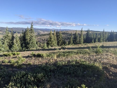
The resupply route continues along high ridge for a long while. The wind is cold and intense.

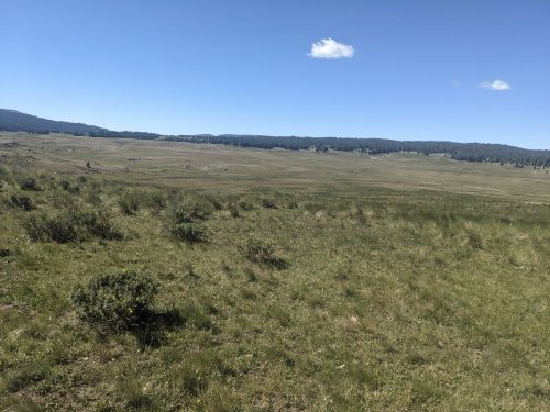
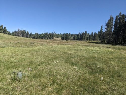
Later the route crosses a huge grass valley.

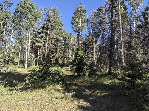
In fir and spruce forest, I notice that enough fir trees are missing, or standing dead and not making shade, so the forest understory is grass, instead of low-light plants.

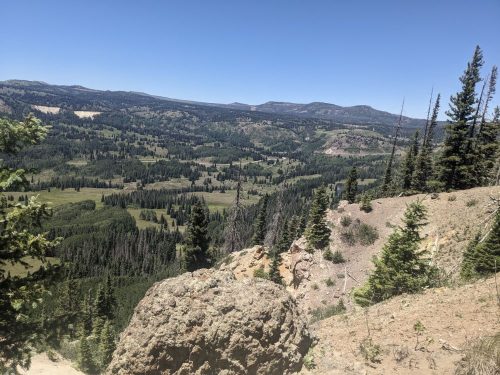
Close to my destination of Cumbres Pass, I climb another ridge, and can see Colorado at a viewpoint.

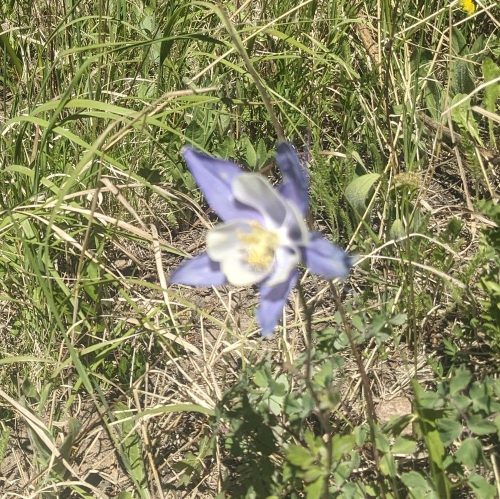
I must be in Colorado, because here is a columbine.

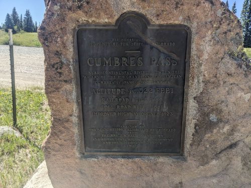
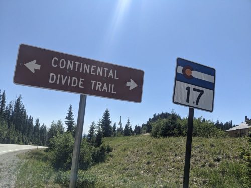
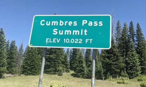
I am buffeted by high winds on the ridge, but eventually make it to the pass.

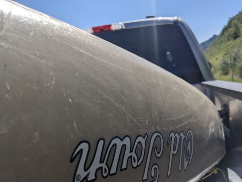
A pickup truck has a full load of people in the cab, but trail angel Daniel offers to let me ride in the truck bed, wedged in among a kayak and coolers. This means more wind.

A shower and clean clothes, washed in the motel sink, are a real treat. Tomorrow I return to the trail, with food for a few more days.

Finished audiobook Talents Incorporated, by Murray Leinster.

Race

  • NNML 2026 Day 11, June 28, Sunday
  • Start S3 mile 42 Rio Vallecitos
  • End S3 mile 74 past Lagunitas Campground
  • Miles walked: 32

I try walking a bit faster today, to improve options for the following 2 days. You may learn more later.

The route climbs up high on single-track to get off of a road, through fir and aspen and meadow. The air is cool, strong gusting winds.

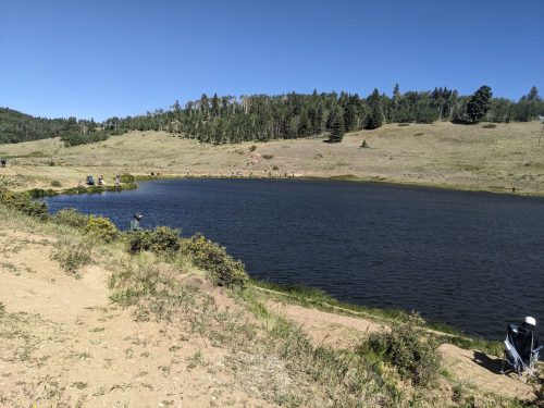
Hopewell Lake is surrounded by fisherfolk. I do not see anyone catch anything

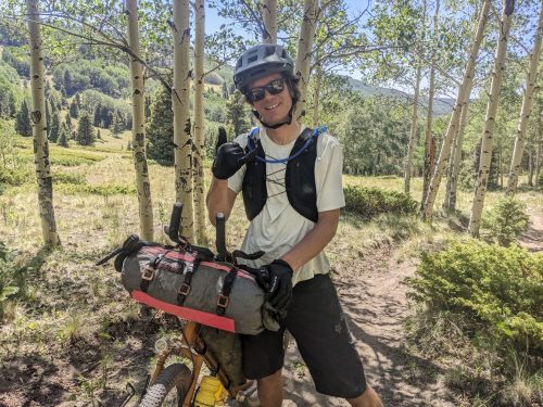
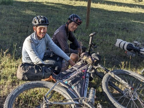
I see a couple of mountain bikers come down to the CDT trailhead above the lake, in a hurry. Could this be the Tour Divide, an annual race on the Great Divide Mountain Bike Route, the mountain bike version of the CDT?

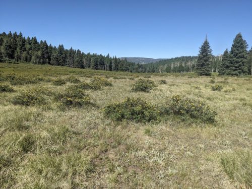
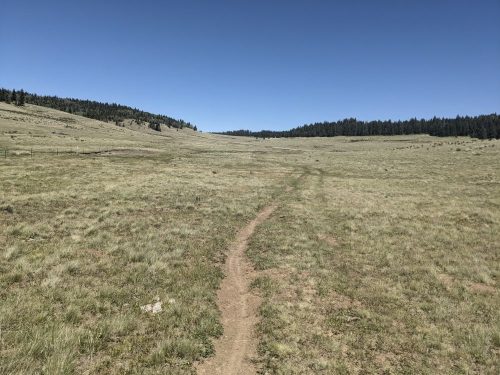
The route now has large grassy areas, alternating with forest, which sets a pattern for the day.

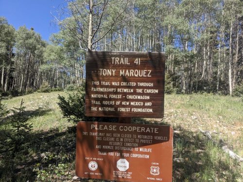
The CDT goes along the Tony Marquez Trail for a spell. My Trail Group will do some work on Tony Marquez later this year.

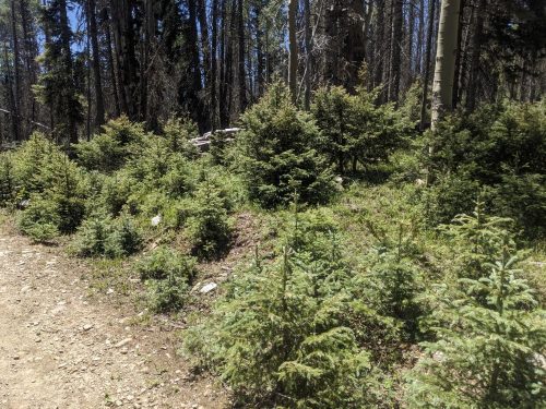
The trail is 2-track turning to 1-track on old roadbed closed to vehicles. I notice an unusual amount of young spruce and fir, among the dying old fir trees. Did all this start naturally, or is it part of some forest remediation?

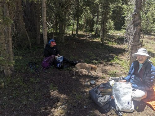
I meet a couple of section hikers with a small dog with the trail name Speed Bump.

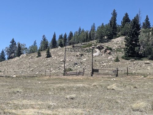
In wide open space, near a ranch called the Yonderosa, I catch a tail-wind and make good time.

Daniel is the fifth mountain bike racer I meet.

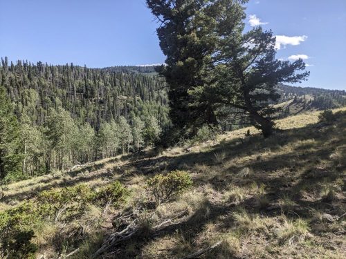
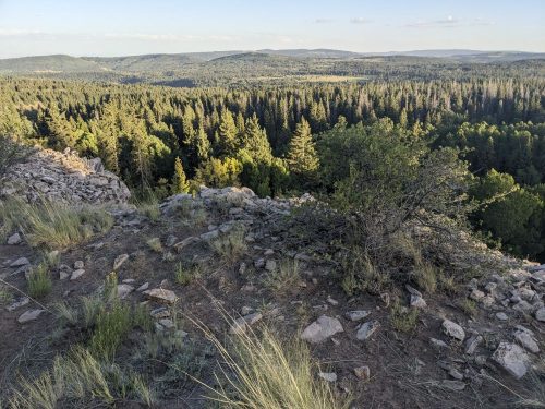
I get water at the Rio San Antonio, though there are many cows in the watershed. Then I start up a ridge overlooking the San Antonio, which continues for miles of controlled grade, with magnificent views.

I meet my ninth and tenth racers just below Lagunitas Campground. Most of the racers seem a little dazed, too exhausted to chat for long.

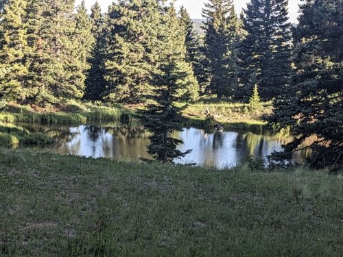
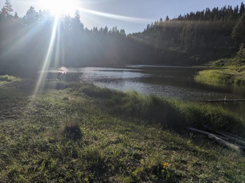
Lagunitas Campground is so peaceful, with several small lakes.

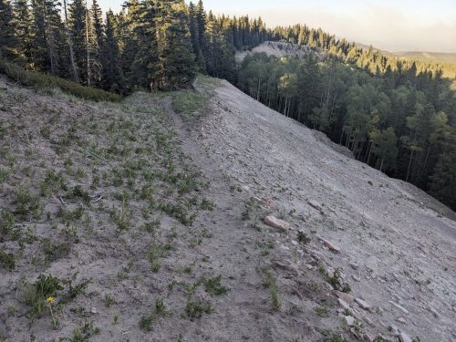
Another narrow ridge awaits, this time with loose sand and narrow tread.

Walking started at 5:30 AM, and finally ends at 8:30 PM, a long and full day.

Finished audiobook Dispatches From the Ruhr, by Ernest Hemingway. He is a journalist for the Toronto Star, reporting from French-occupied Ruhr Valley in 1923.