Solomon Pass

GET 2017 Day 15, May 10, Wednesday.

Start stealth camp near Frye Mesa Road just beyond edge of town of Safford, Segment 11 mile 8.5 of 12.8

End Salt Trap Road just after intersection with Solomon Pass Road, Segment 12 mile 14.8

Miles walked: 19.1

Walking into Safford, I quickly resupplied at Safeway, repackaginh while eating Hagen Daz and bananas, then walked to the library found a secluded corner to plug in and recharge and upload trail journal and caught up on email. All these tasks take some time, and I got back on the trail at 11.

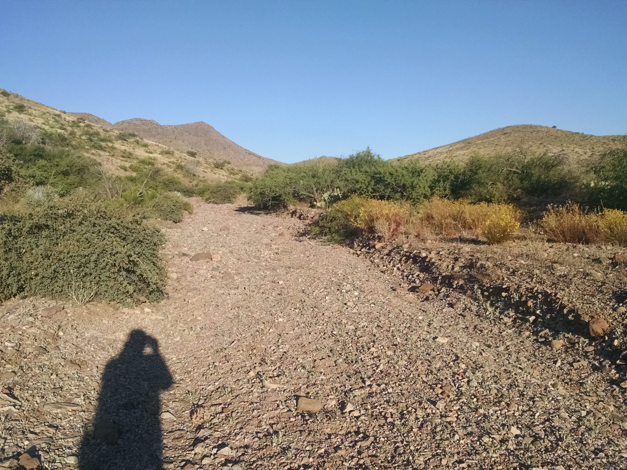
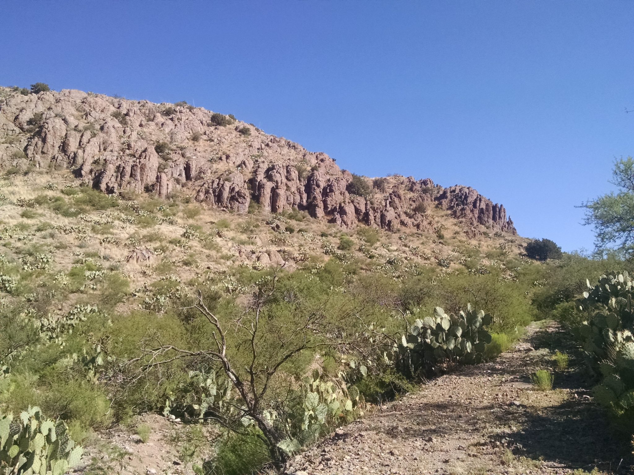
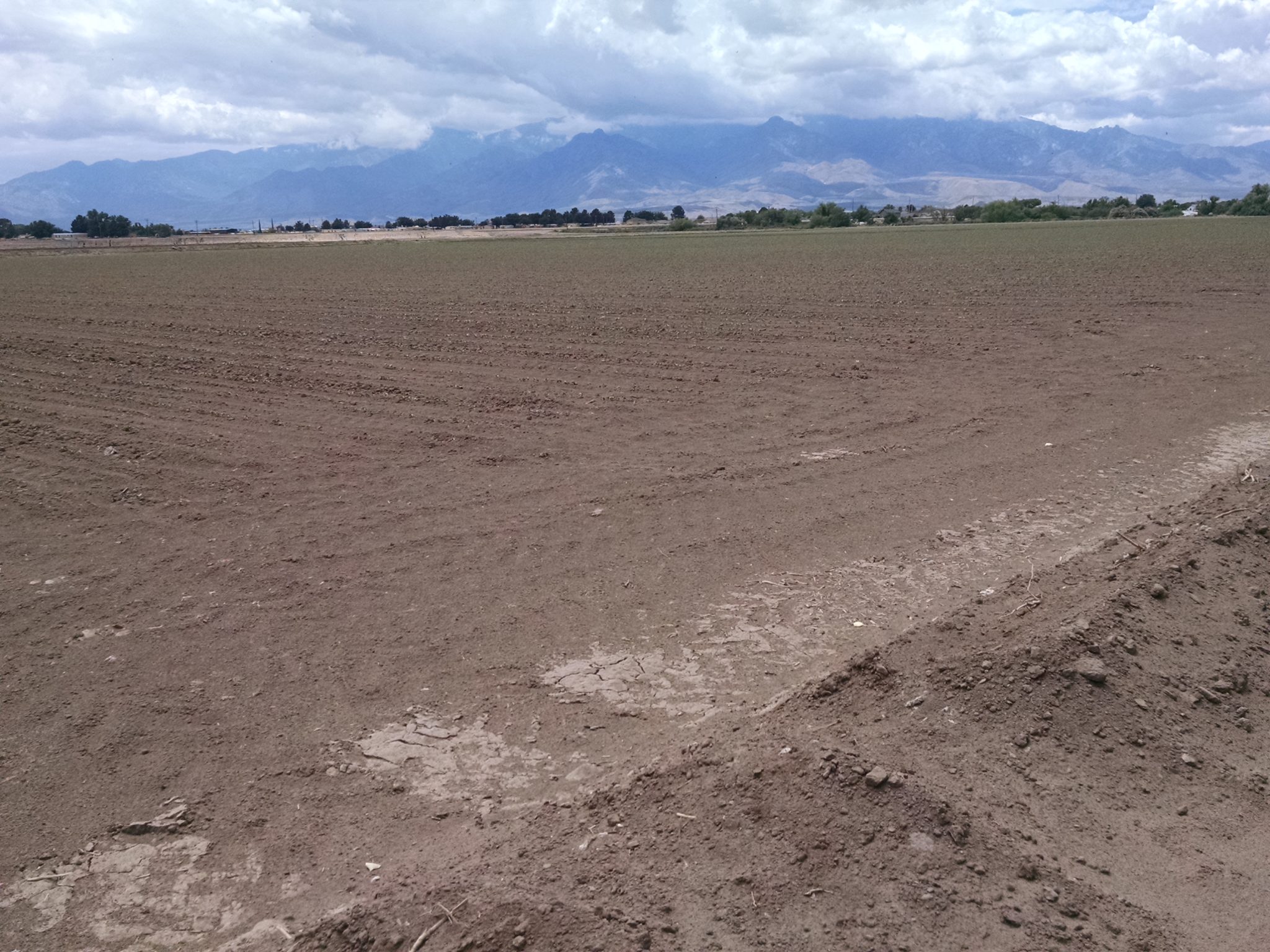
The route goes along vast flat agricultural irrigated fields.

Continue reading “Solomon Pass”

Almost Safford

GET 2017 Day 14, May 9, Tuesday.

Start Segment 10 mile 16.1 of 25.9 at Chesley Flat

End stealth camp near Frye Mesa Road just beyond edge of town, Segment 11 mile 8.5

Miles walked: 18.3

Snow! A quarter-inch to half-inch layer of powder covers everything.

Chesley Flat Trail 311 is wide and well-maintained, so following path covered with snow is not a problem.

Continue reading “Almost Safford”

Pinaleno Climb

GET 2017 Day 13, May 8, Monday.

Start Segment 9 mile 8.1 of 9.8, near Two Troughs.

End Segment 10 mile 16.1 at Chesley Flat

Miles walked: 17.8

The trail descends down cross-country and cattle path to a 4WD forest road. The road turns into Johns Canyon Trail 313, which follows and gradually climbs out of Bellows Canyon and crosses over to follow Johns Canyon Ridge. The trail is badly overgrown.

Often the path disappears, and blue tape tied to trees is the only sign of trail. Pushing past branches makes for slow going.

I finally reach West Peak at 8600 feet around noon, greeted with intermittent hail and pellet snow.

Continue reading “Pinaleno Climb”