GET 2017 Day 15, May 10, Wednesday.
Start stealth camp near Frye Mesa Road just beyond edge of town of Safford, Segment 11 mile 8.5 of 12.8
End Salt Trap Road just after intersection with Solomon Pass Road, Segment 12 mile 14.8
Miles walked: 19.1
Walking into Safford, I quickly resupplied at Safeway, repackaginh while eating Hagen Daz and bananas, then walked to the library found a secluded corner to plug in and recharge and upload trail journal and caught up on email. All these tasks take some time, and I got back on the trail at 11.
The route goes along vast flat agricultural irrigated fields.
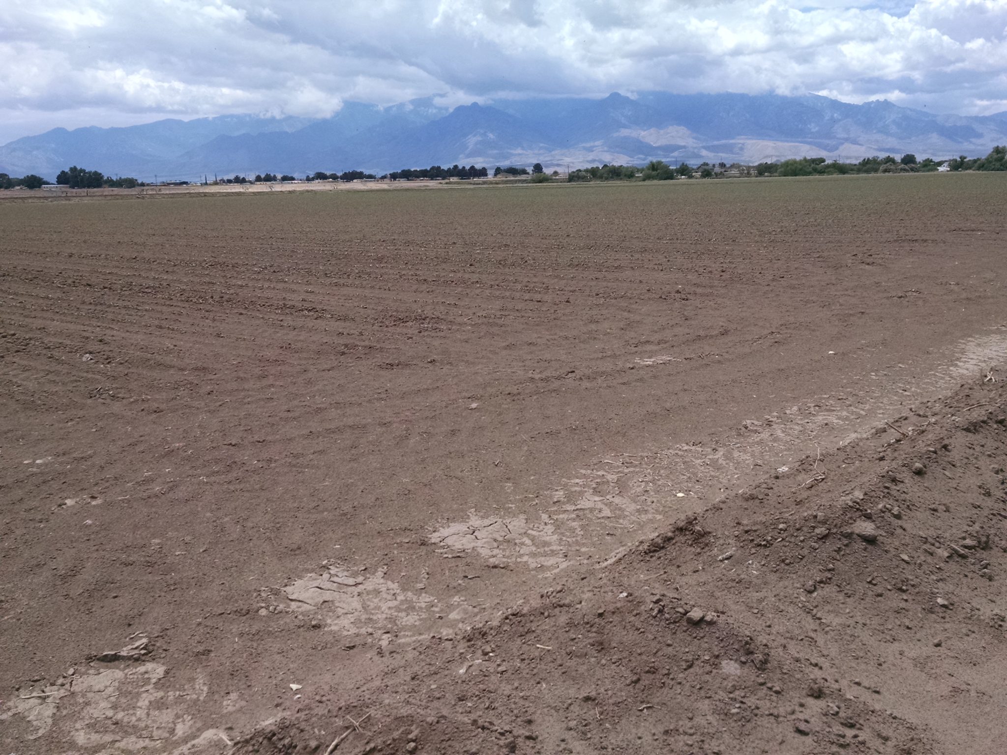
So what are they growing? The edge of one field gives a clue.
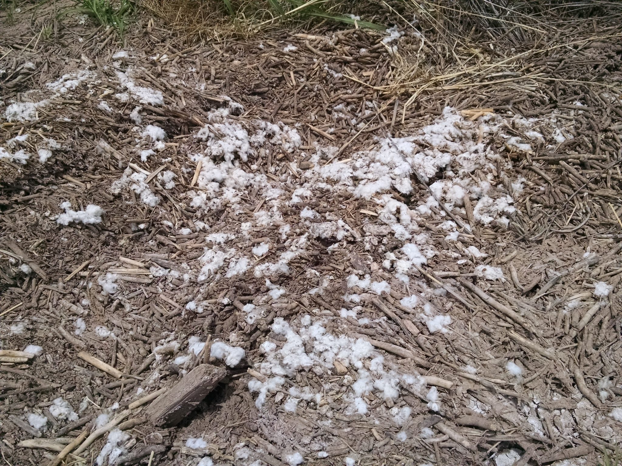
Must be cotton.
Turning away from fields, we cross a bridge over the Gila River.
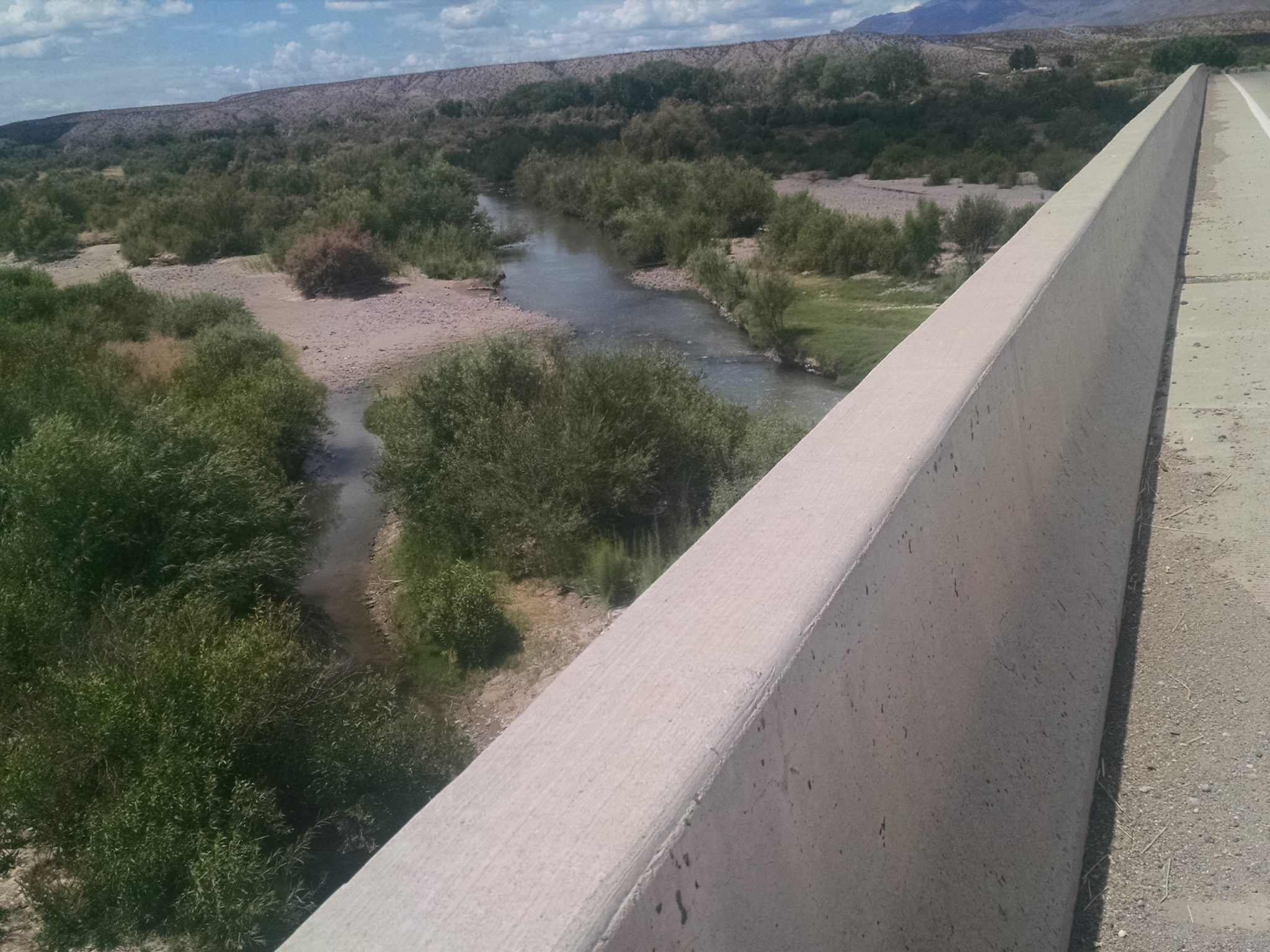
The bridge has to be much longer than the river is wide, due to shifting river beds.
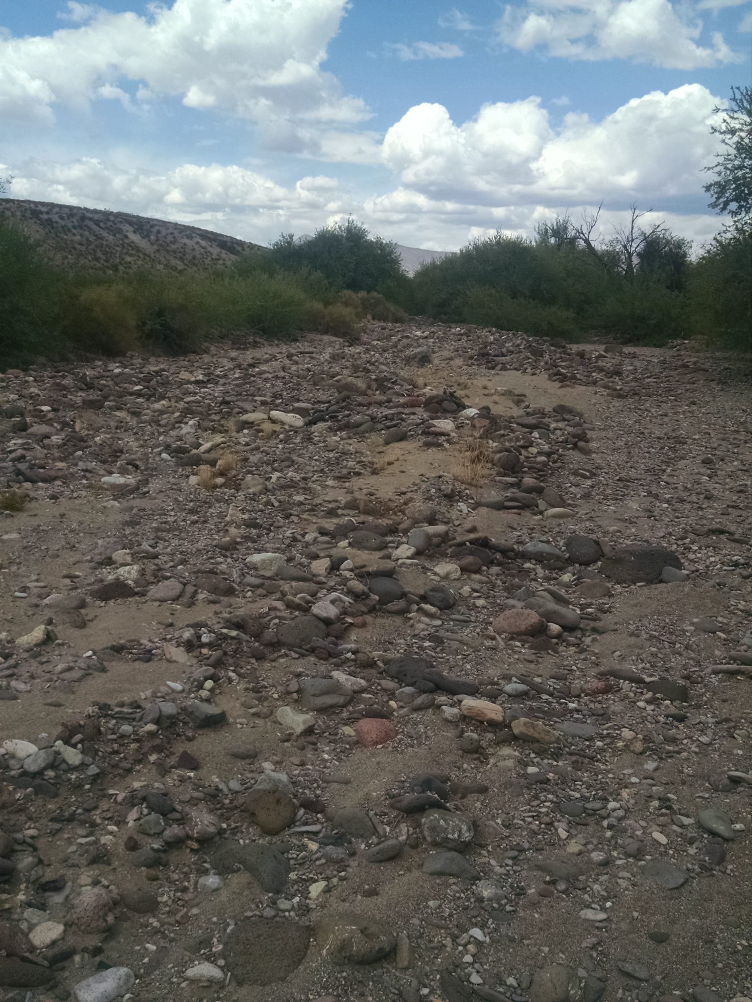
Then the route goes up a dry wash, a “braided wash” because several paths keep splitting and rejoining.
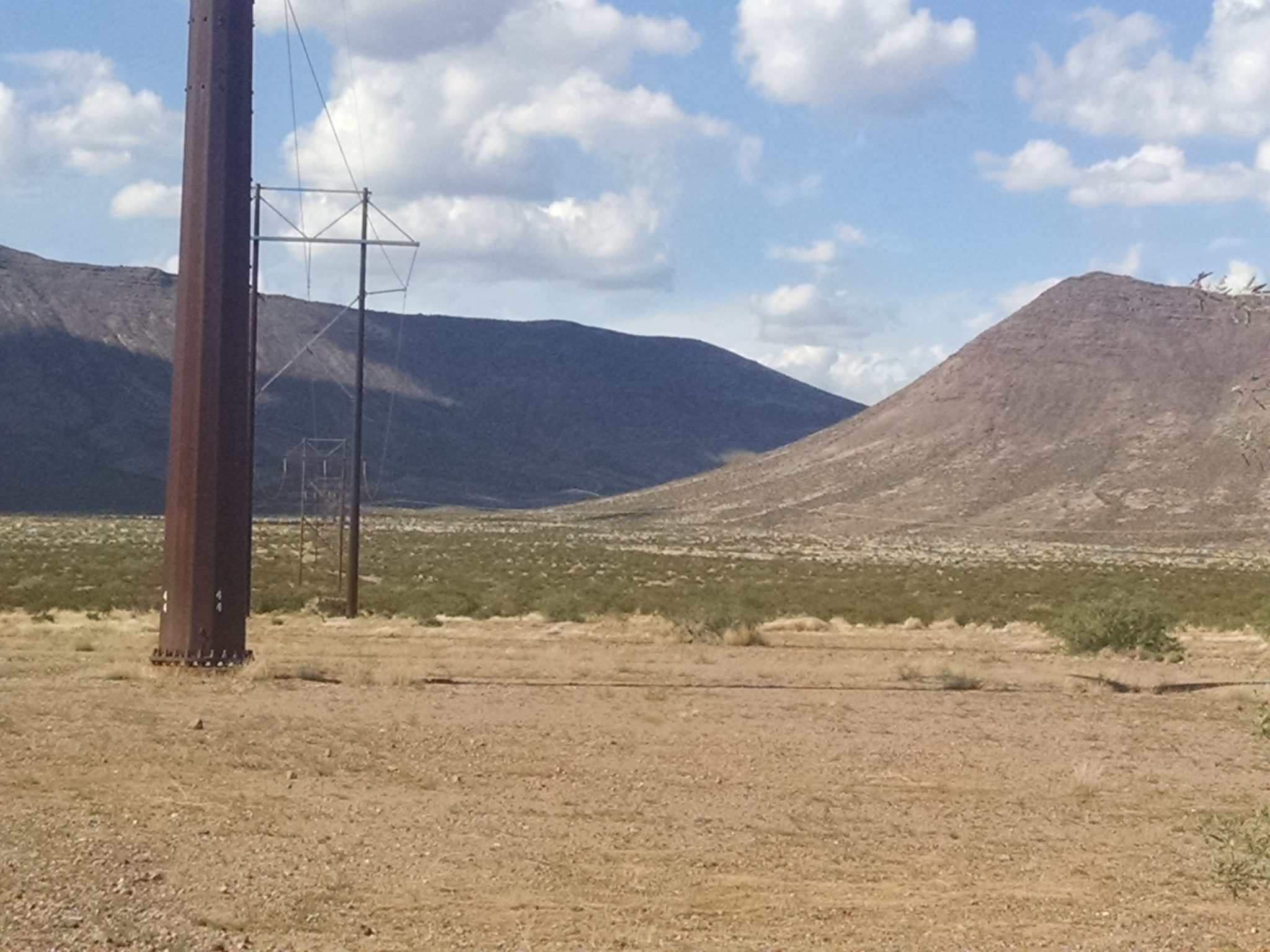
Following a power line road through creosote, Solomon Pass becomes visible in the distance.
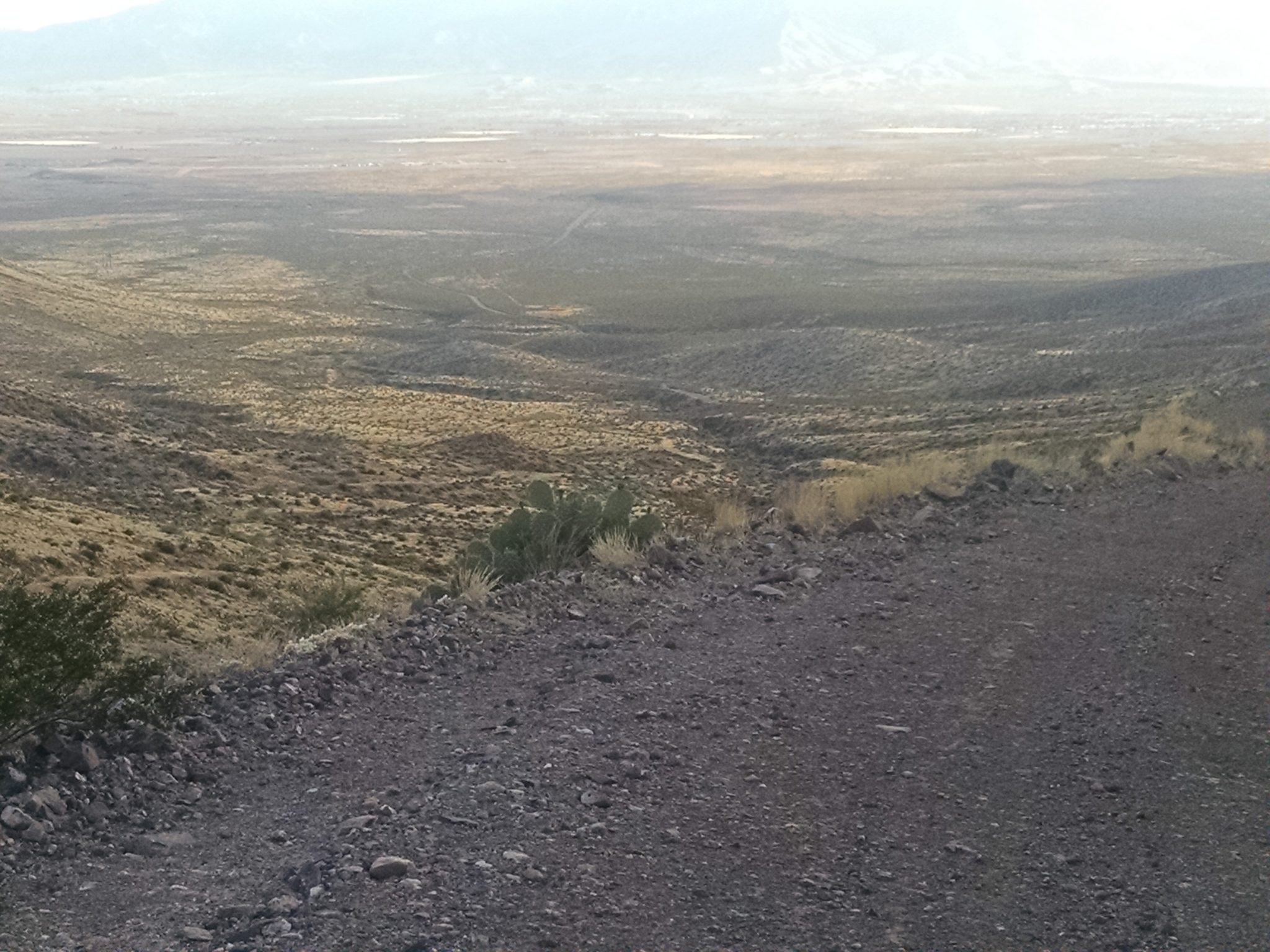
After walking up a road and path, here is the view from Solomon Pass.
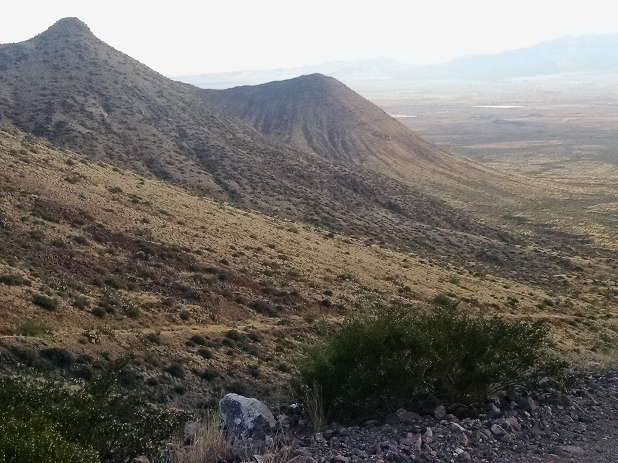
And another view…
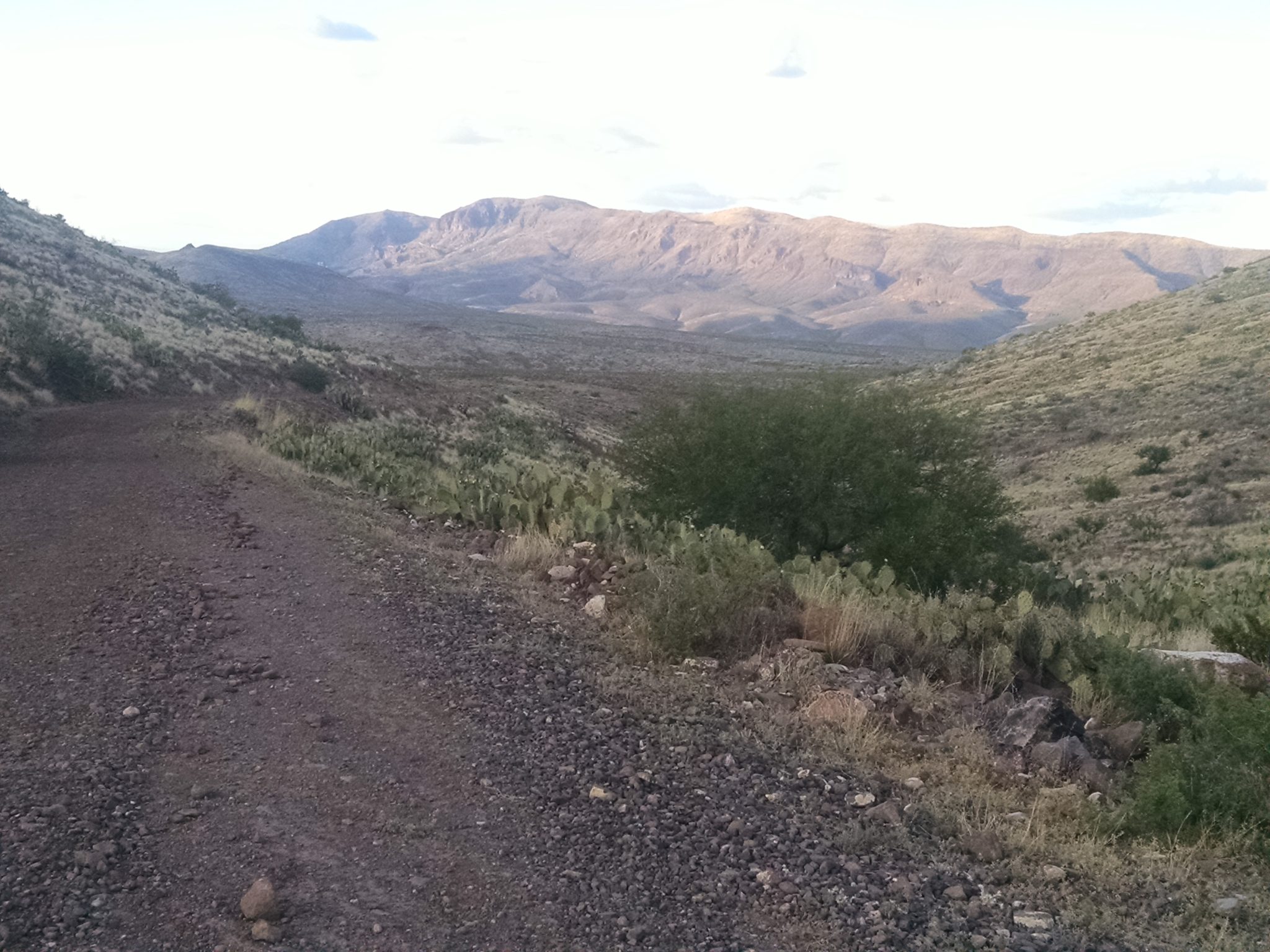
And on other side.
Creosote has given way to grassland, and cattle graze near my camp.