GET 2017 Day 22, May 17, Wednesday.
Start Silver Creek Divide on Bursum Road, Section 20 mile 12
End terminus of Trail 152 at junction with Trail 151, Section 20 mile 34.6
Miles walked: 22.6
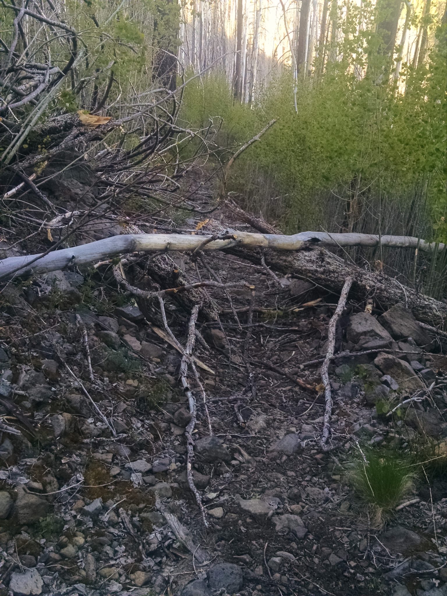
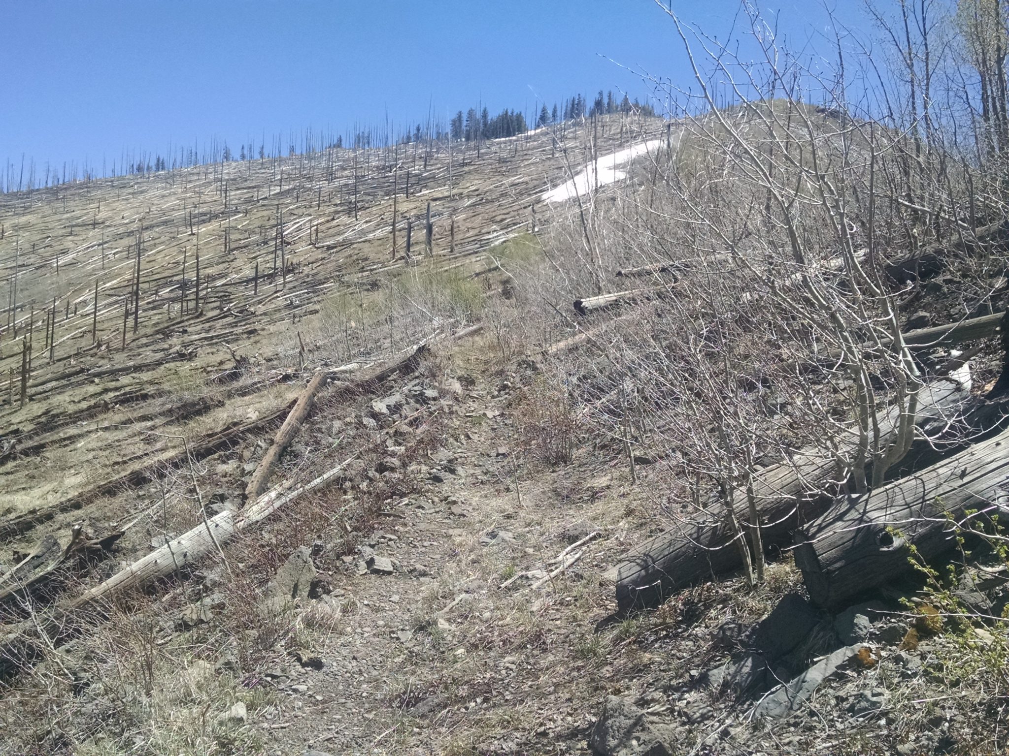
At the start of the Crest Trail one must cross a number of deadfalls.
All day the trail tends to go near the tops of ridges with gentle slopes on well-constructed pathway.
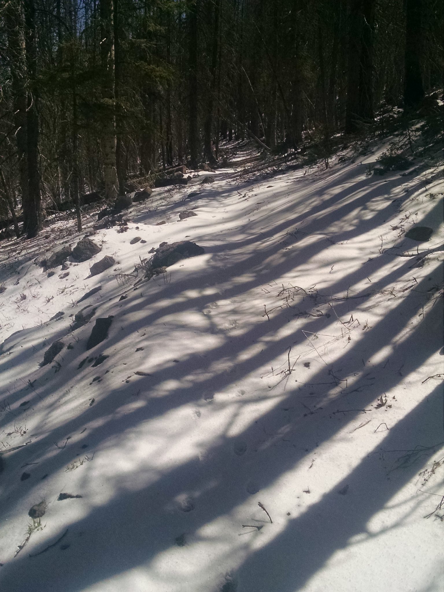
The ground scrunches under feet, wet from yesterday’s rain and then frozen overnight.
The frozen ground gives way to fresh snow as the trail climbs higher, over 10k feet elevation.
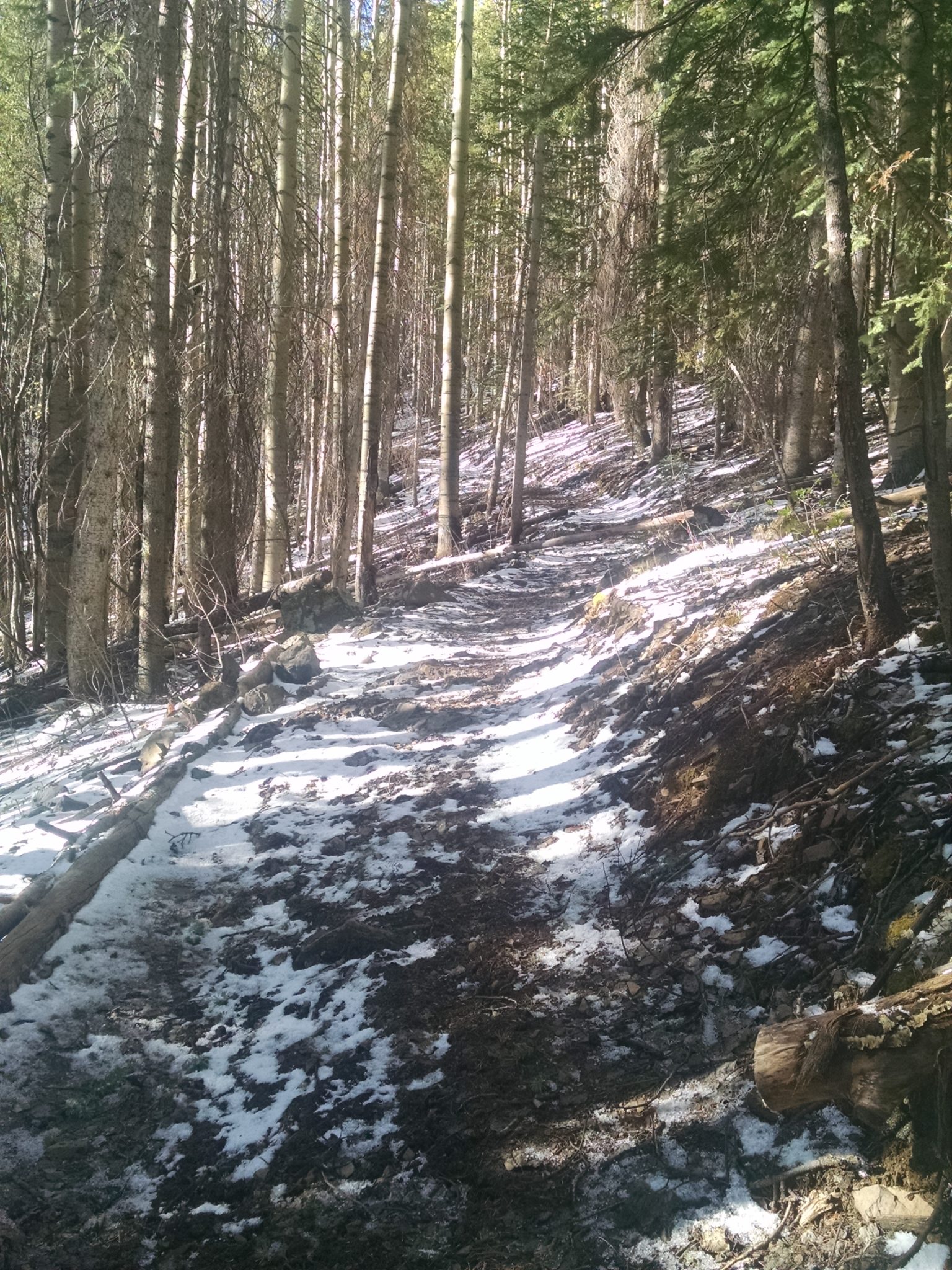
In places, fresh snow over old snow banks.
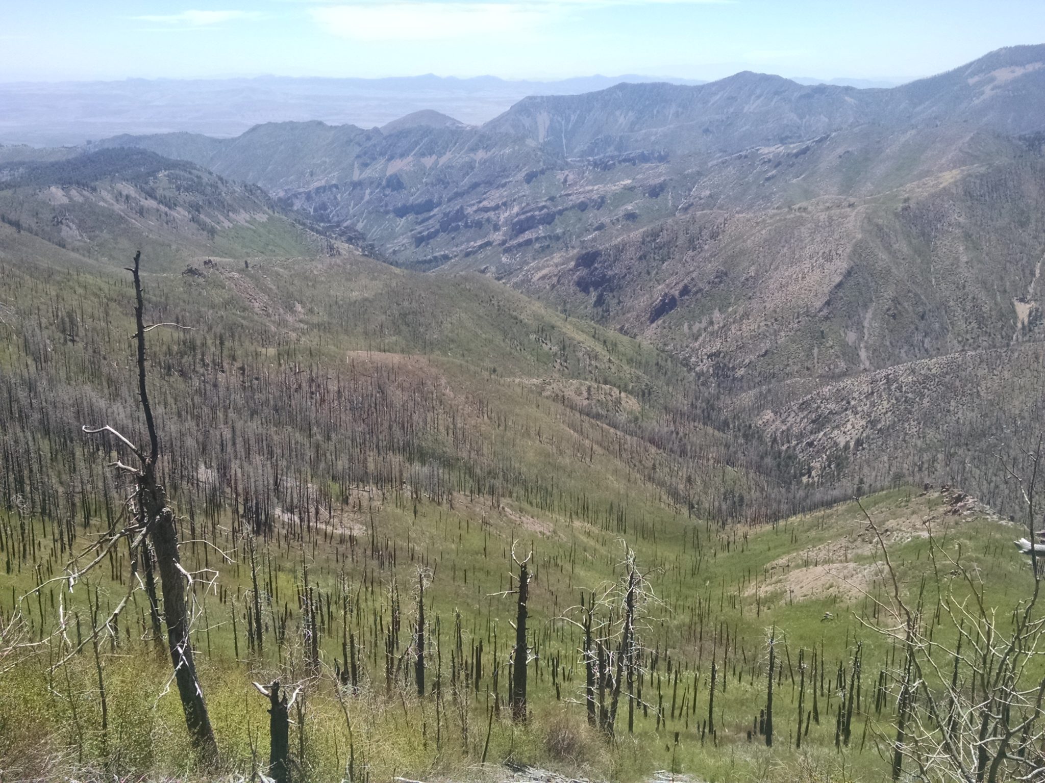
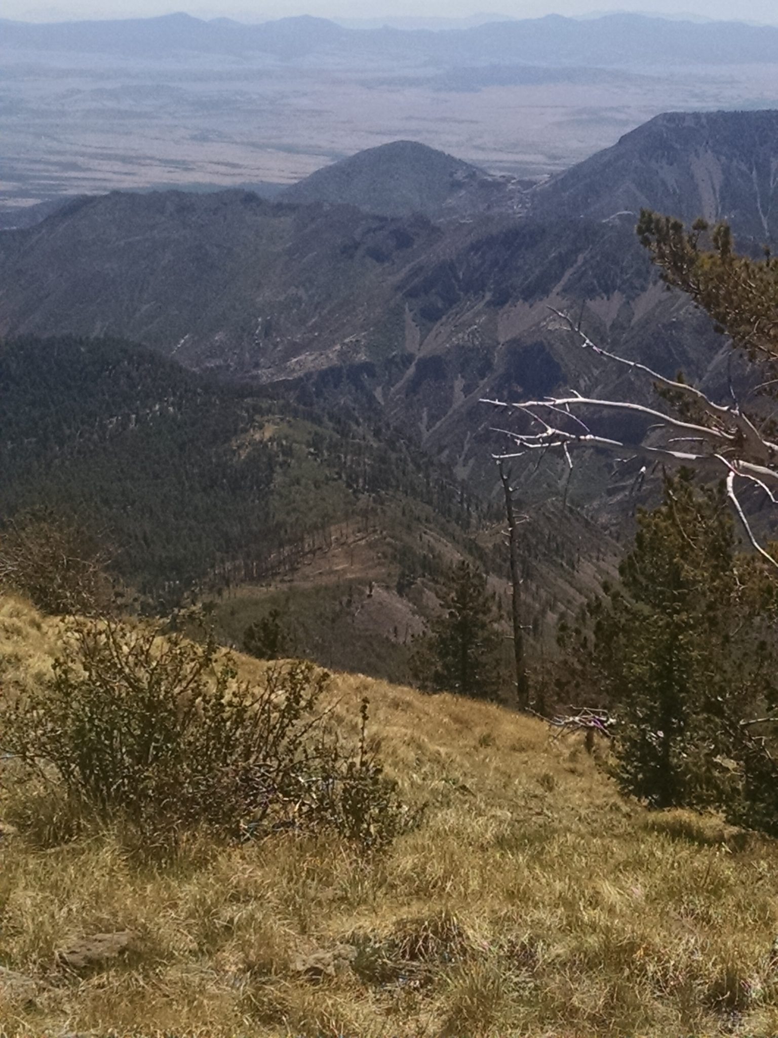
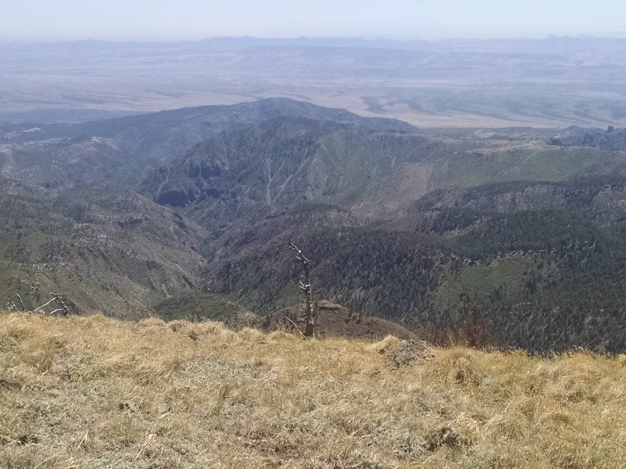
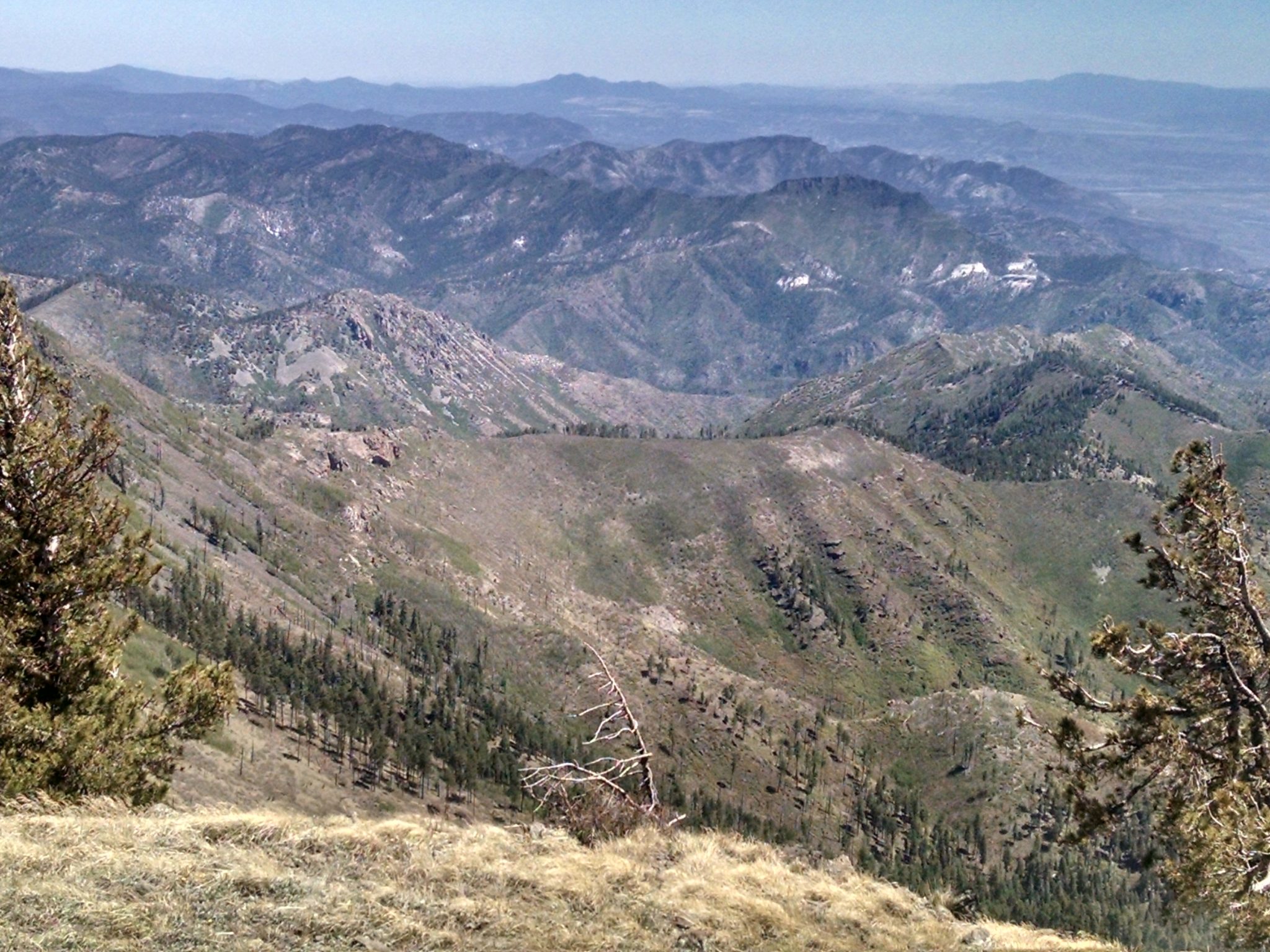
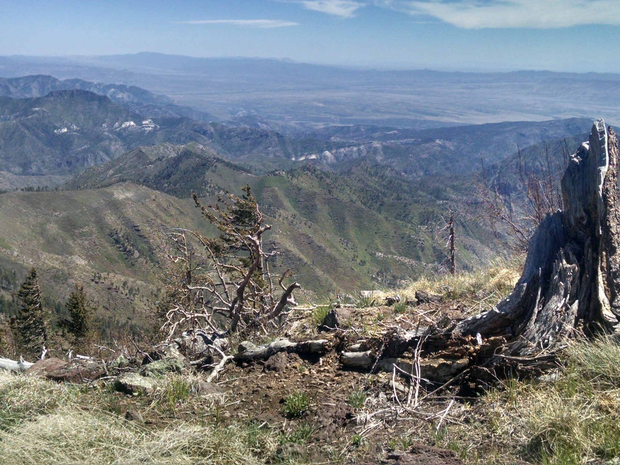
As Mogollon Baldy nears, we get dramatic views of mountains below.
Baldy on the ascent
Cabin locked.
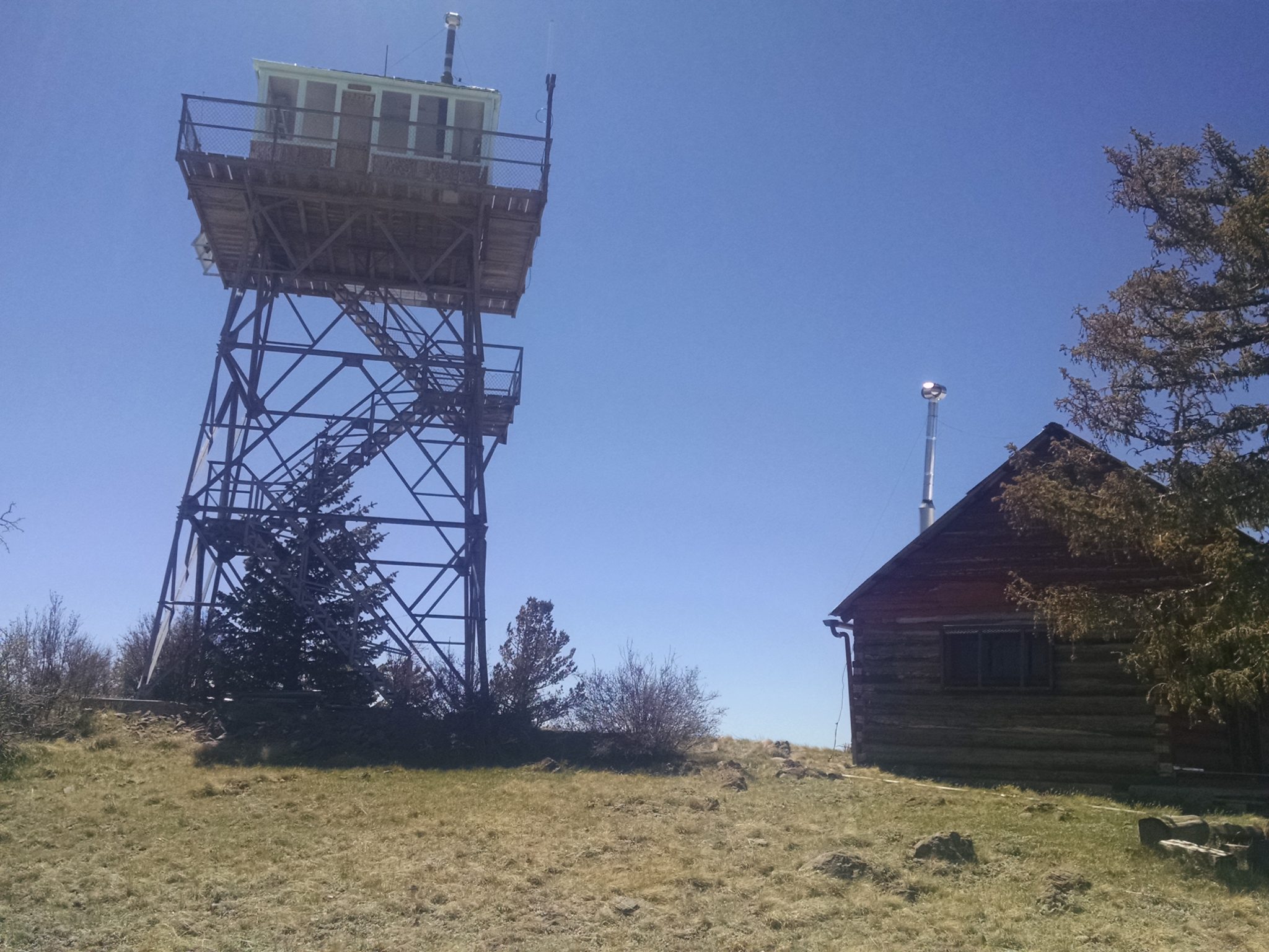
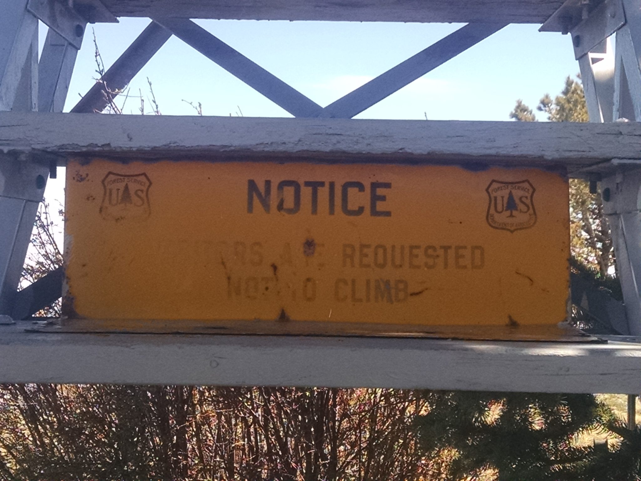
And lookout tower off-limits
Elevation sign on porch of cabin, 10728 feet.

Views from atop Mogollon Baldy. Vistas in every direction.
***
***
***
Easy gradual descending trail for miles and thousands of feet in altitude.
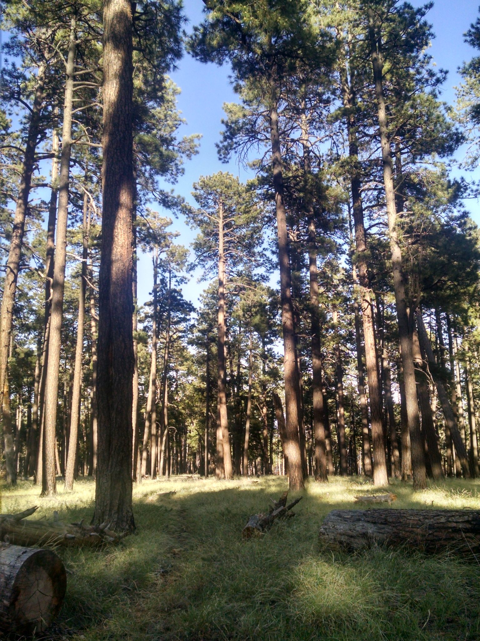
Near the end is a large area of meadow (park), with bunch grass, and ponderosa pine in low density so the ground is mainly covered in grass instead of pine needles. How did this come to grow this way?