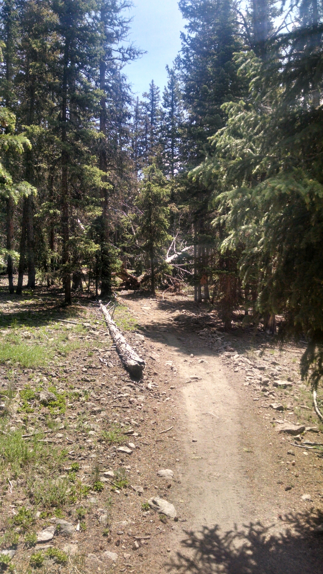
Today was on a “Summit Trail” of connected high points, that involved much quick up-and-down, energy draining and morale busting. Usually enclosed by tree cover, strangely little beetle ravaged, no views of distant mountains are likely. Here is a representative view.
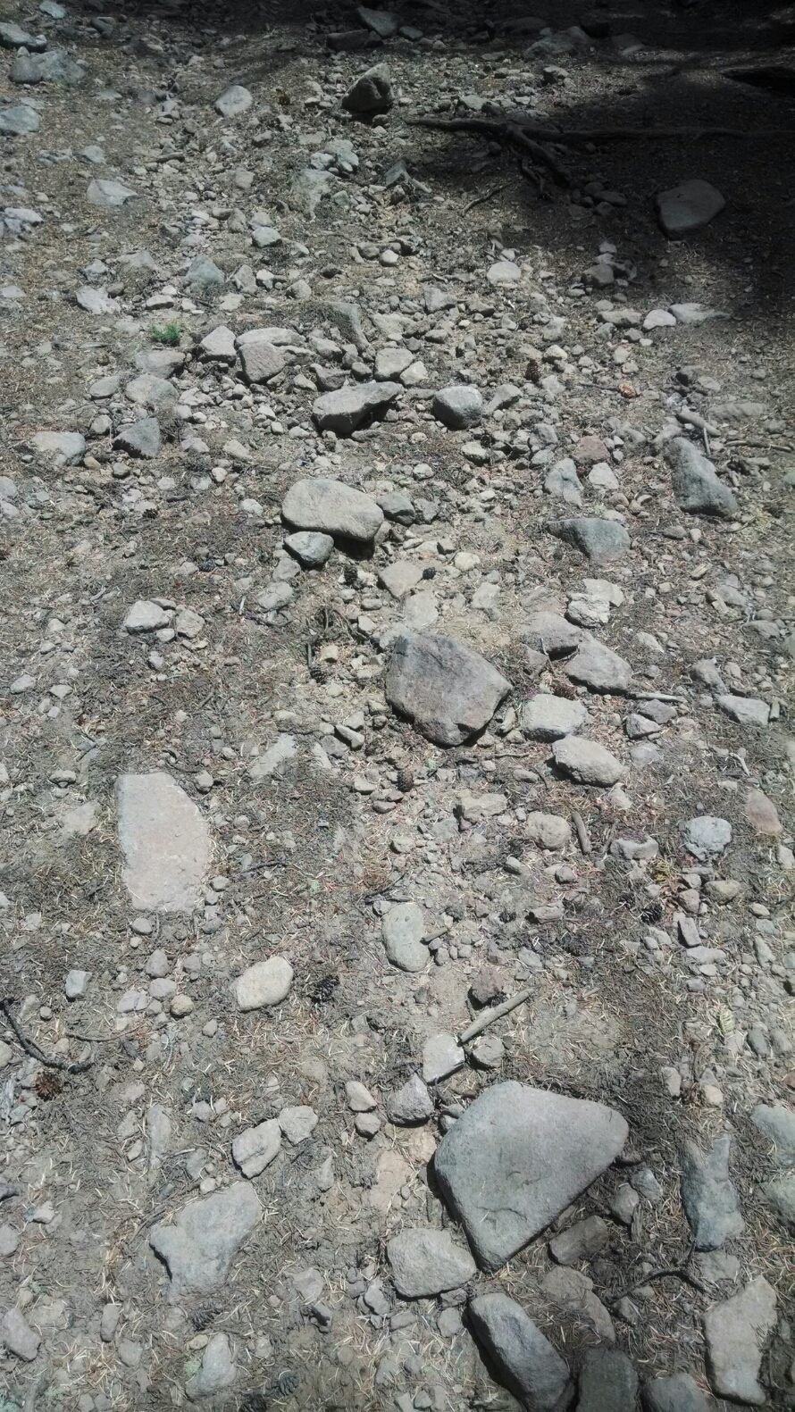
And here is a representative trail surface.
More likely used as an ATV path, not a footpath, don’t you think?
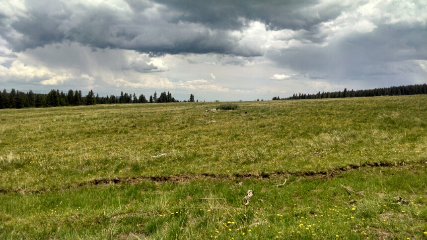
We climb a high flat treeless mesa, though distant views are yet a distant memory.
Hike on, get to the next adventure…
Day 16, 6/3/2014, Thursday
Start 2 miles past Lujan Trailhead, mile 1027, elevation 10345
End 2 miles beyond 17-082IXe mile 1053, elevation 10919


