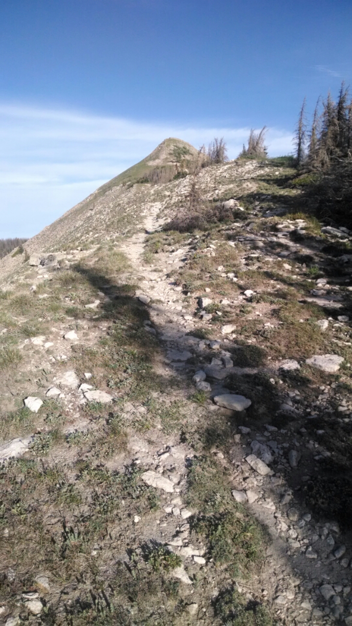
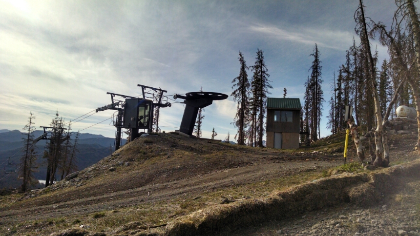
The day starts with a crest trail into the Wolf Creek ski area.
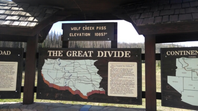
On the way down to Wolf Creek Pass and US160, I meet a party of three on their way to Cumbres Pass, and another couple that camped at the ski area and were out for a short ramble.
At the road after holding up my sign °Hiker to Town°, the first vehicle passing stops and offers a ride! Bruce is on his way to pick up a stock trailer he purchased. “What kind of stock, cattle maybe?” No, he ran a wilderness outfitting company and guides backcountry trail rides. We talked about different style trail rides– go out and stay awhile in one location with heavier gear, versus longer distance rides that use lightweight backpacking equipment, versus hunting trips, that pay the best. Seems like a good guy, and I have his card if you want a memorable trail ride vacation.
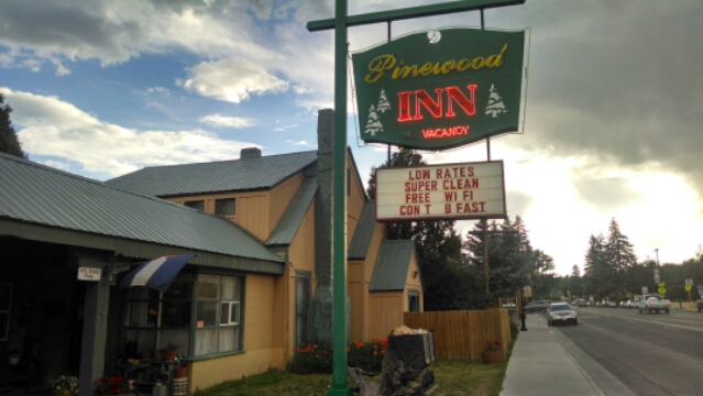
The Pinewood Motel, recommended by my guidebook, gives a special hiker room rate and lets me check early even though it is only 9:30, allowing plenty of time for relaxation.
The woman at the office even offers to do my laundry, a service she has provided several years on behalf of hikers staying with her. Welcome news, since the nearest laundromat is 4.5 miles away on the other end of town.
Time to refuel.
Day 5, 6/22/2014 Sunday
Start Wolf Creek Ski Area boundary, mile 846 elevation 11388
End Wolf Creek Pass, mile 850, elevation 10859
(and nero at Pagosa Springs 22 miles west, elevation 7041)
“Nero” is hiker jargon for “near-zero mileage day”.
What is a “pagosa”?


