PCT 2018 Day 94, July 25, Wednesday
Start mile 2226.3, road crossing with state route 23, then hitch to community of Trout Lake
End mile 2256.3, campsite near pond
Miles walked: 30
I walk to the north outskirts of Trout Lake in early morning, hoping to get a ride back to the trail. A trail angel stops with hiker Mama Bear to pick me up. Mount Adams looms closer as the trail climbs in elevation. 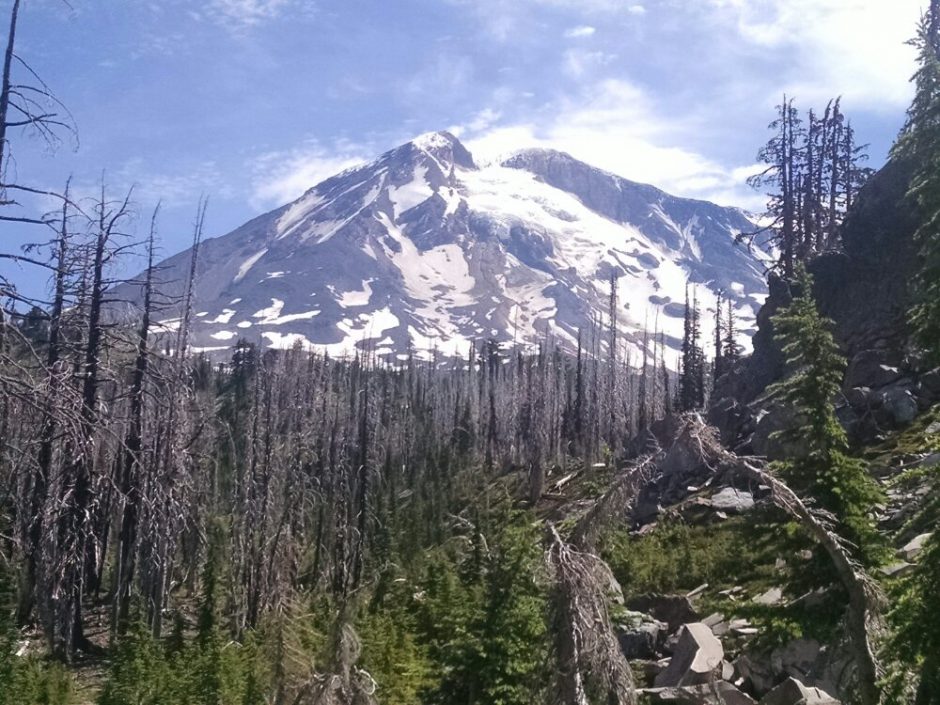 Off to the north and west is Mount Rainier.
 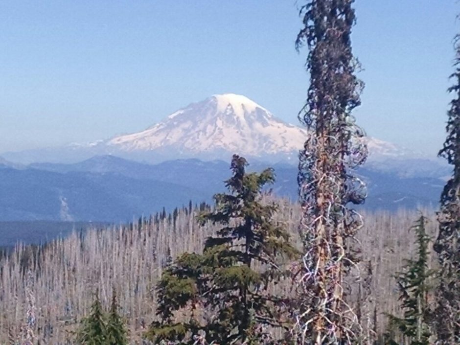 And north of Rainier are a string of lower peaks that also have snow.
 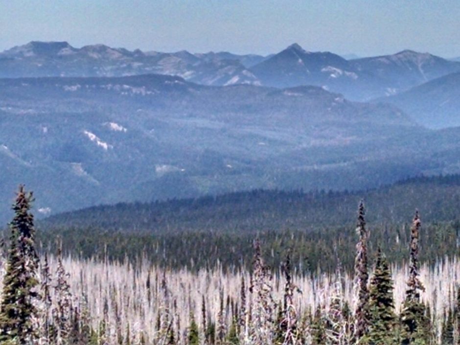 By mid-day the trail is on the base of Mount Adams, not far below the treeline. I would wish the route went just past the trees for a better view, and would take a side-trail further if I were to ever do this route again.
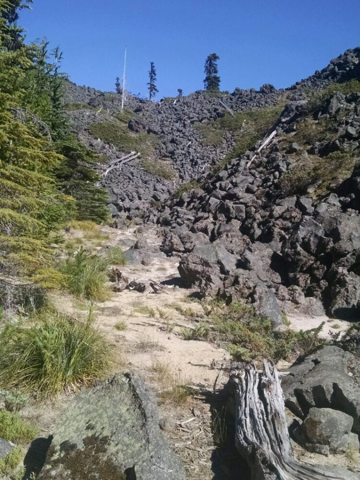
I meet thru-hiker Charlie Brown, about my age, also going north. Several hikers pass south-bound. 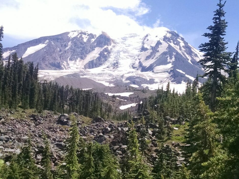 Later I go past a wide rock field, perhaps connected with mountain drainage or glacial action.
 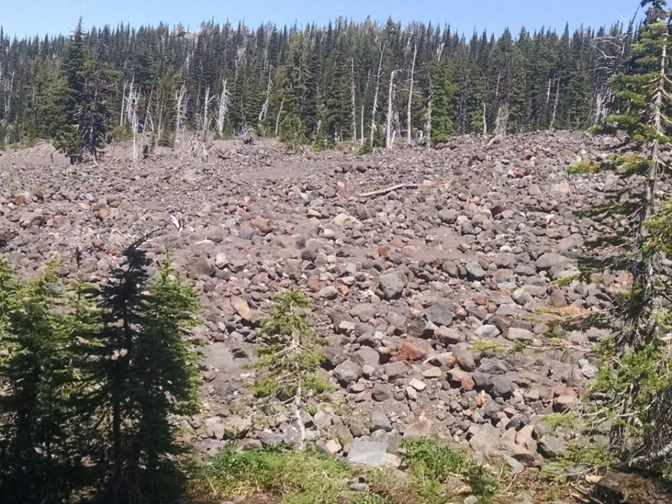 Often creeks and some ponds in this area are full of silt.
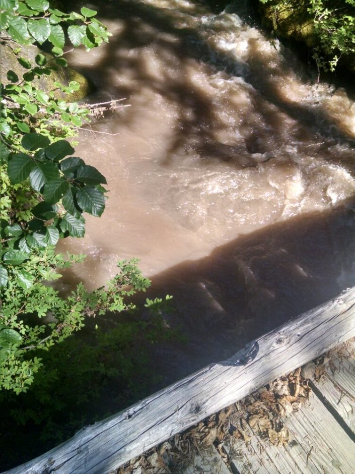
 A boundary marker for the Yakama Nation is along the path.
 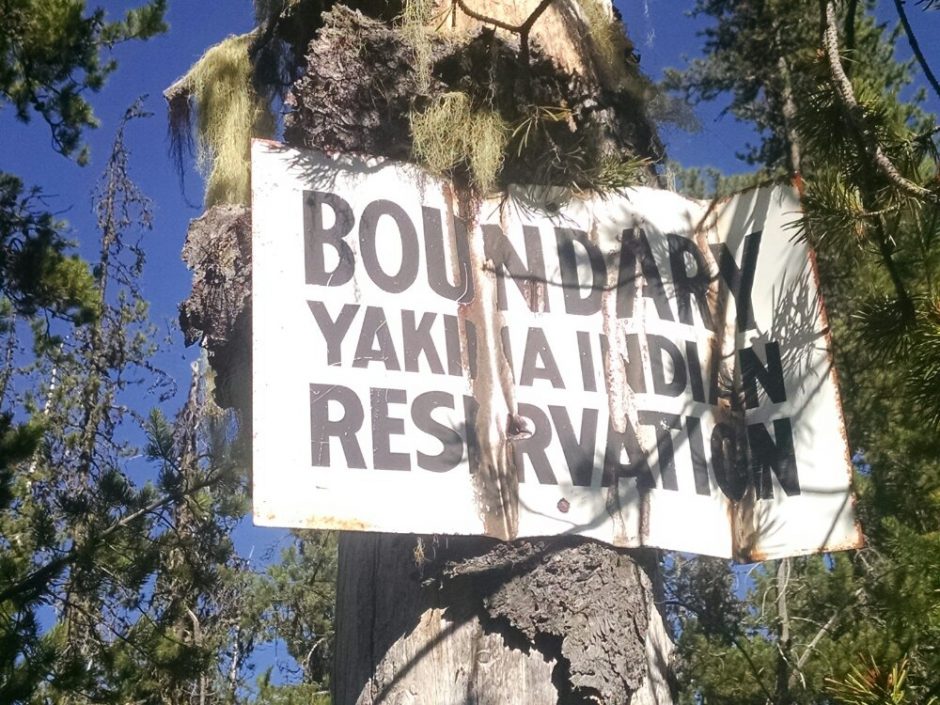 I go by a series of ponds and lakes, and clouds of mosquitos. I do not mention it each day, but we are in an extended heat wave, according to locals. Flies buzz and land on any exposed skin.
 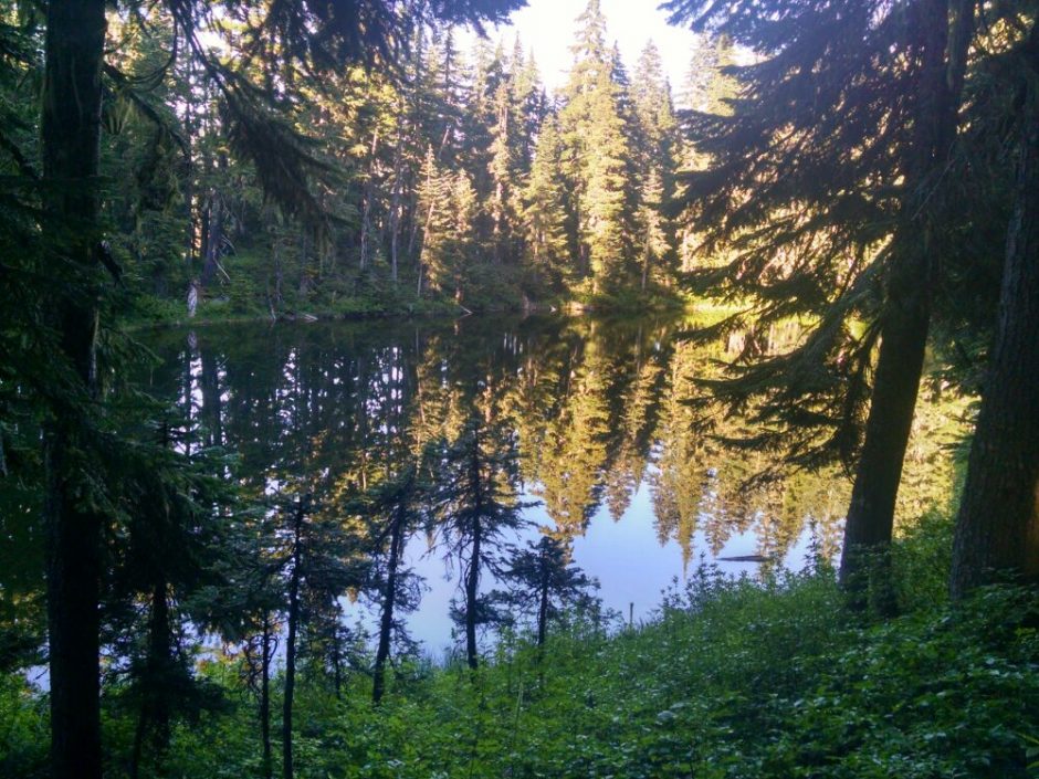 Finally I set up camp at a site near a pond, quickly putting up a tent and jumping inside to escape skeeters.