HDT 2022 Day 16, April 16, Saturday
Start Escalante River, S6 mile 40.0
End Coyote Gulch S6 mile 62.0
Miles walked:12
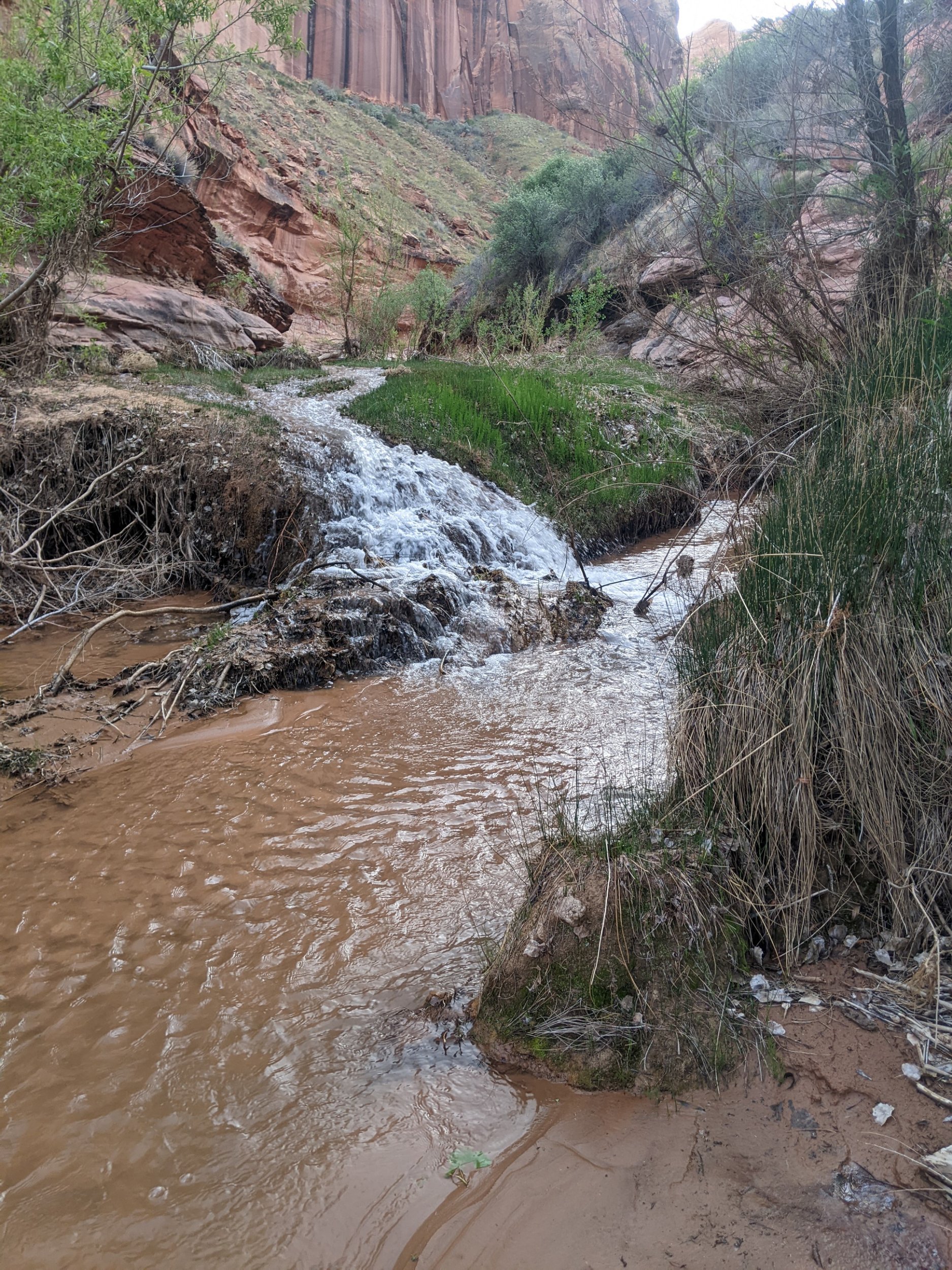
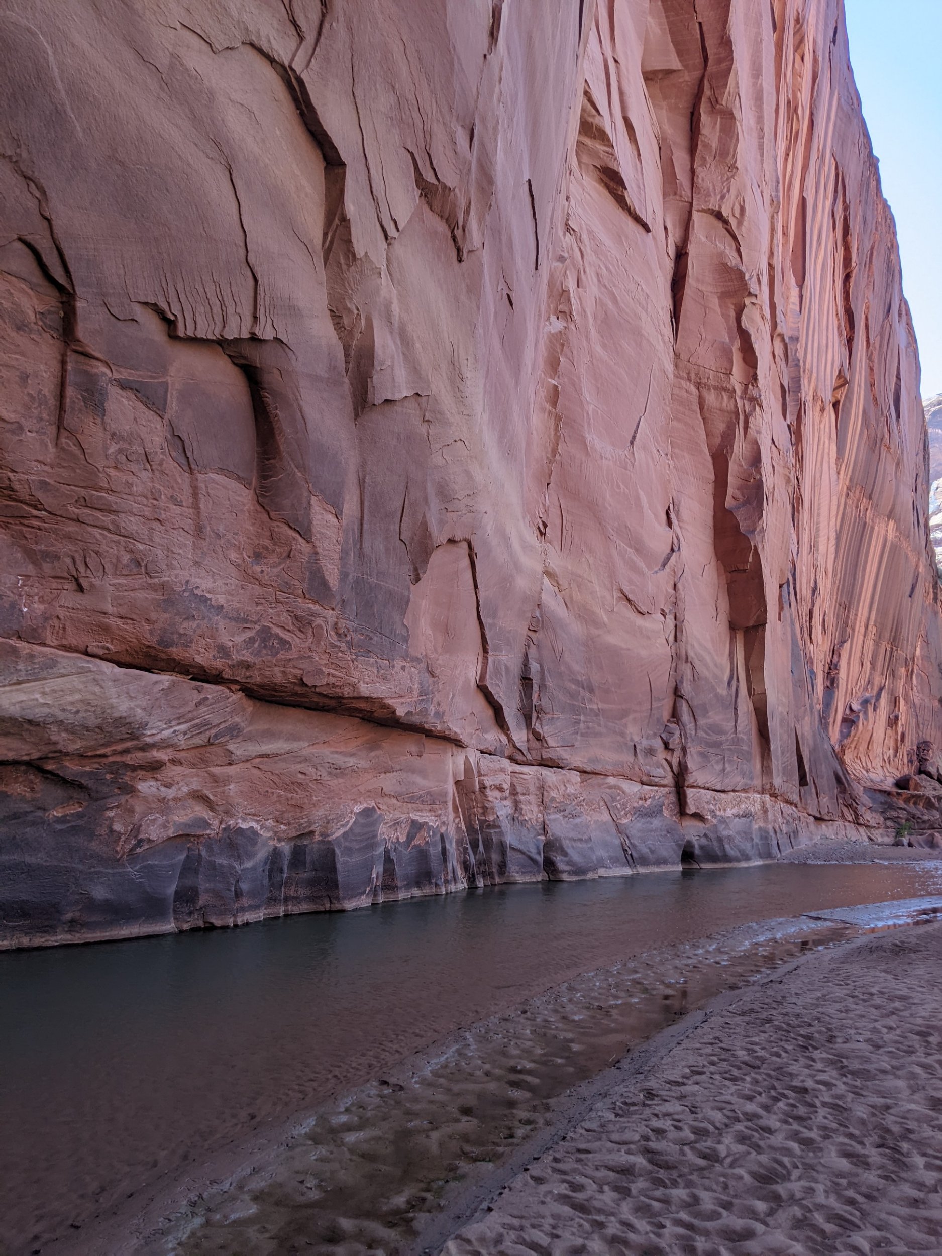
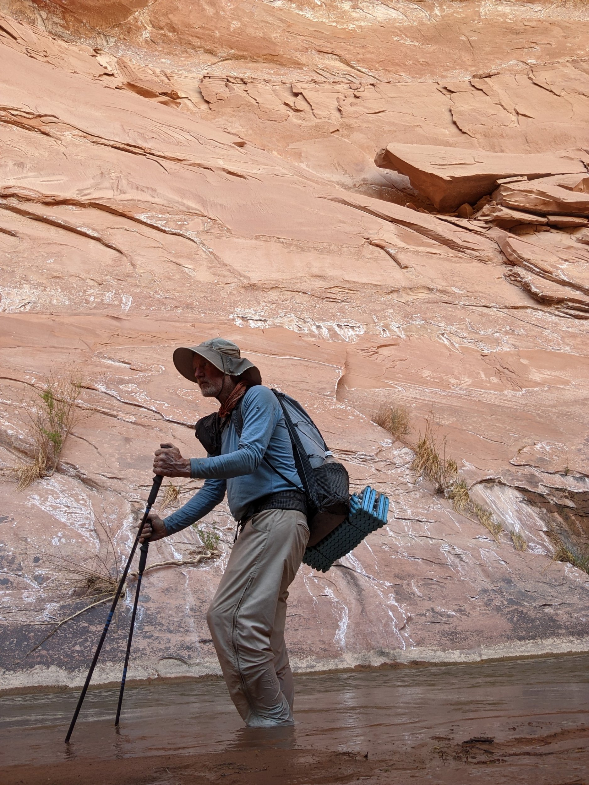
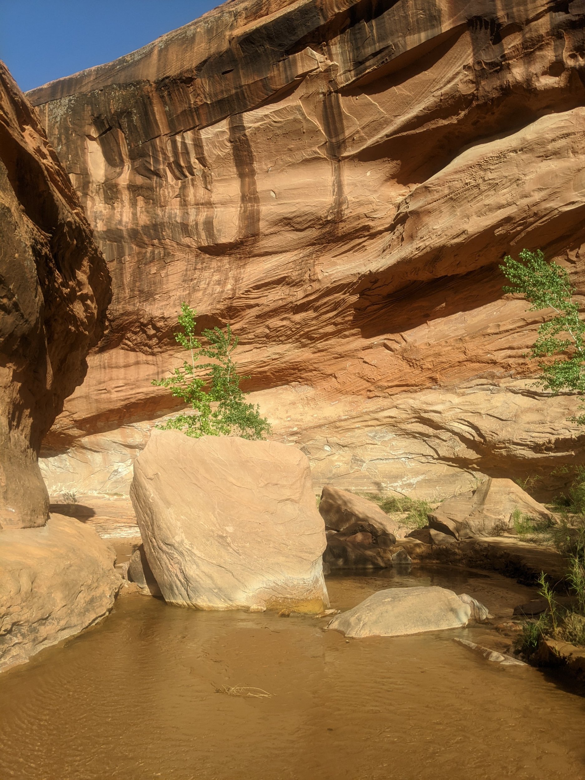
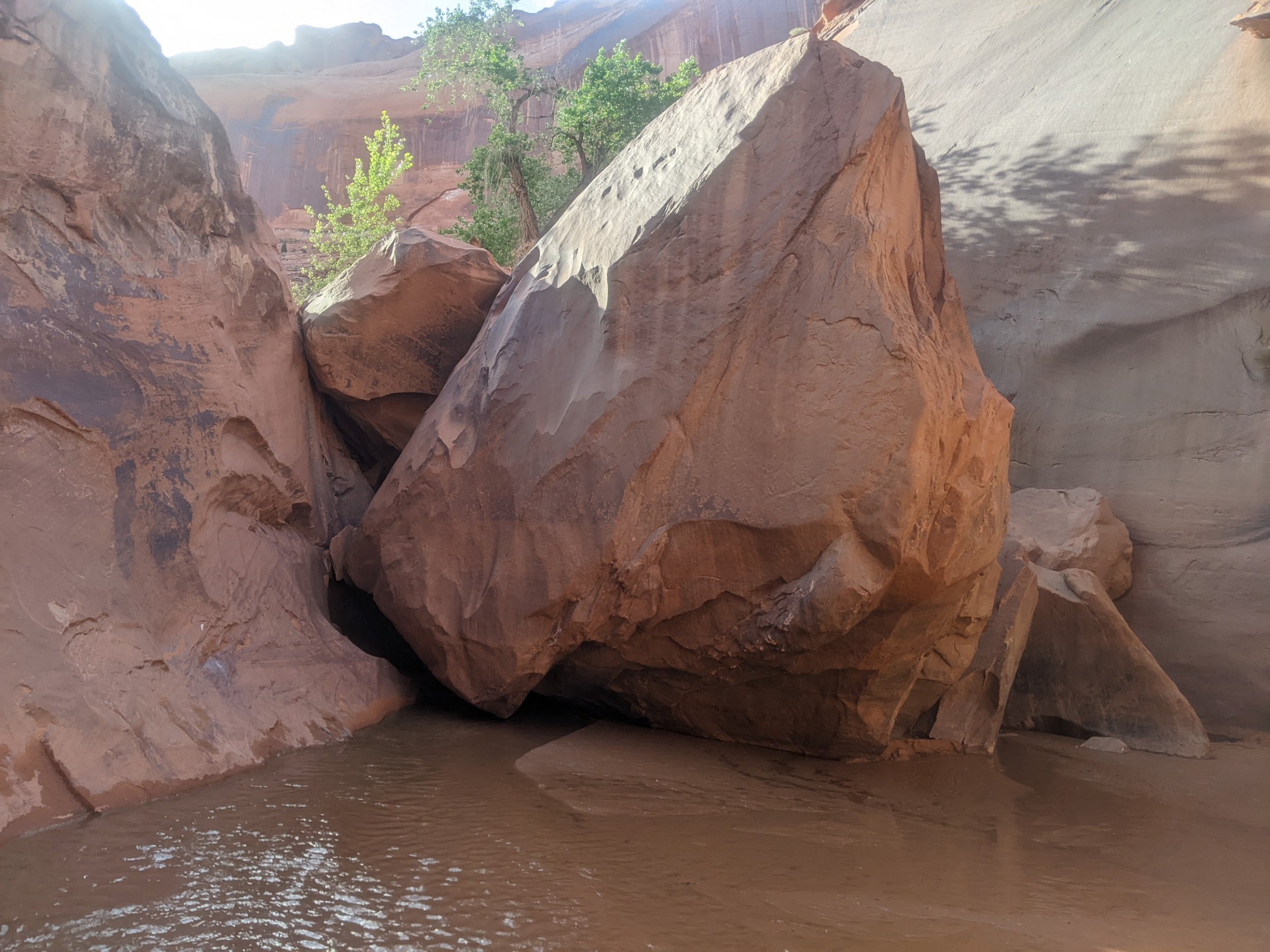
Continuing with yesterday’s strategy, I minimized crossing and walking in the river, and dealt with thick brush and climbing over boulders, slow going. Boulders covered about half the elevation of the cliff face, so that is a lot of rock to fall into the water channel.
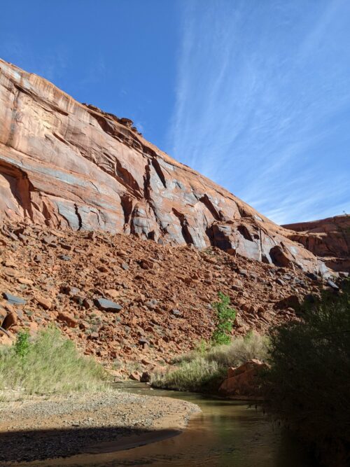
By early afternoon progress was slow, as channel banks tended to become more narrow and steeper, and climbing around truck-size boulders was tricky.
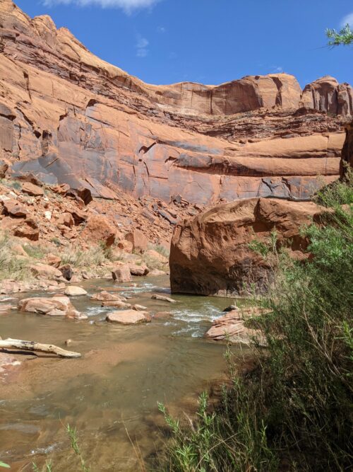
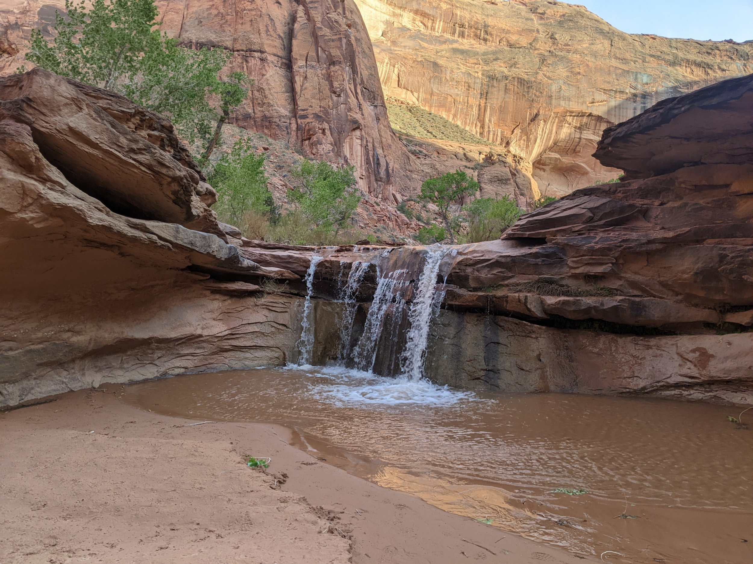
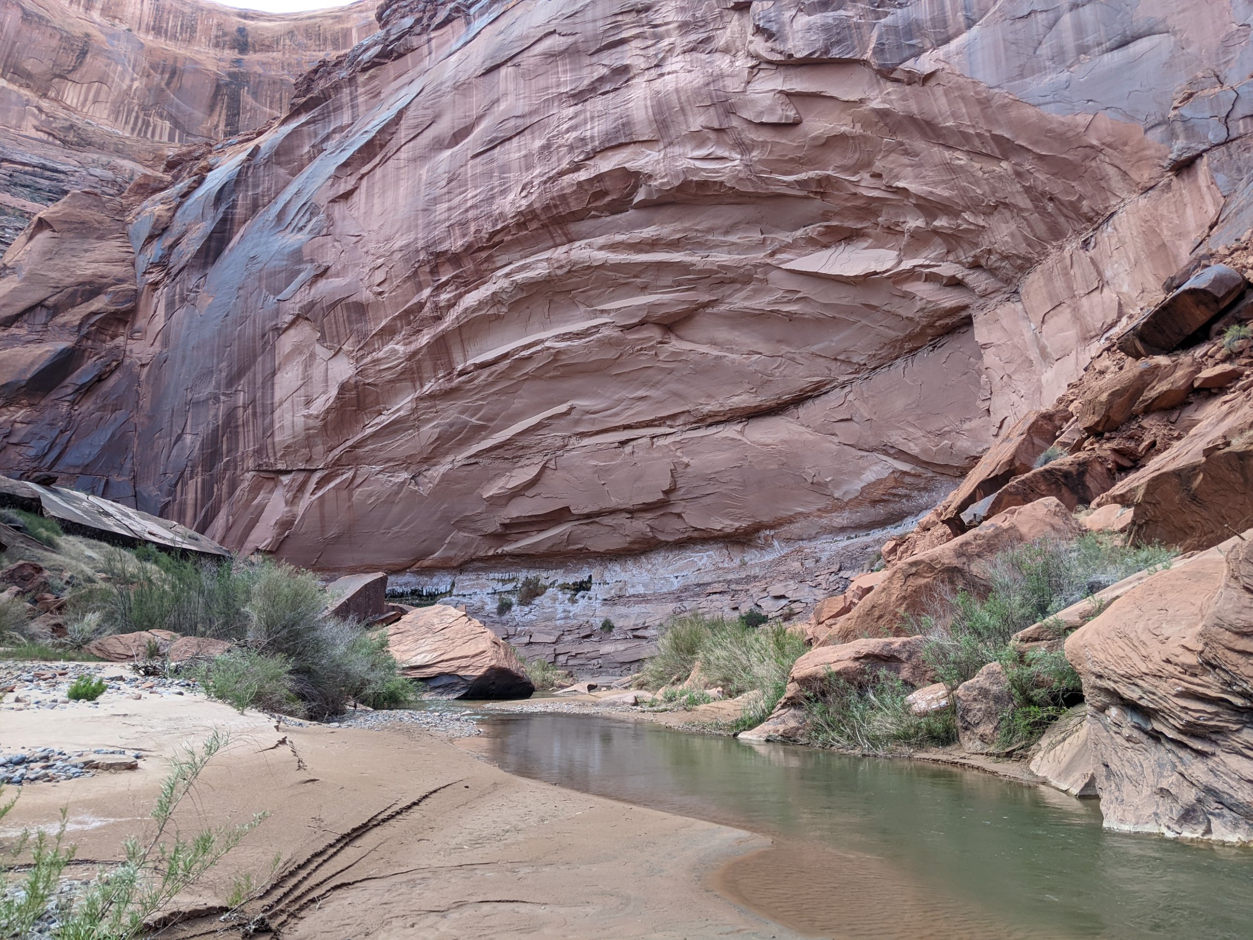
In the afternoon I see a hopeful sign– a cliff face with almost no fallen rock at its base.
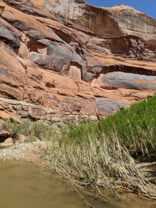
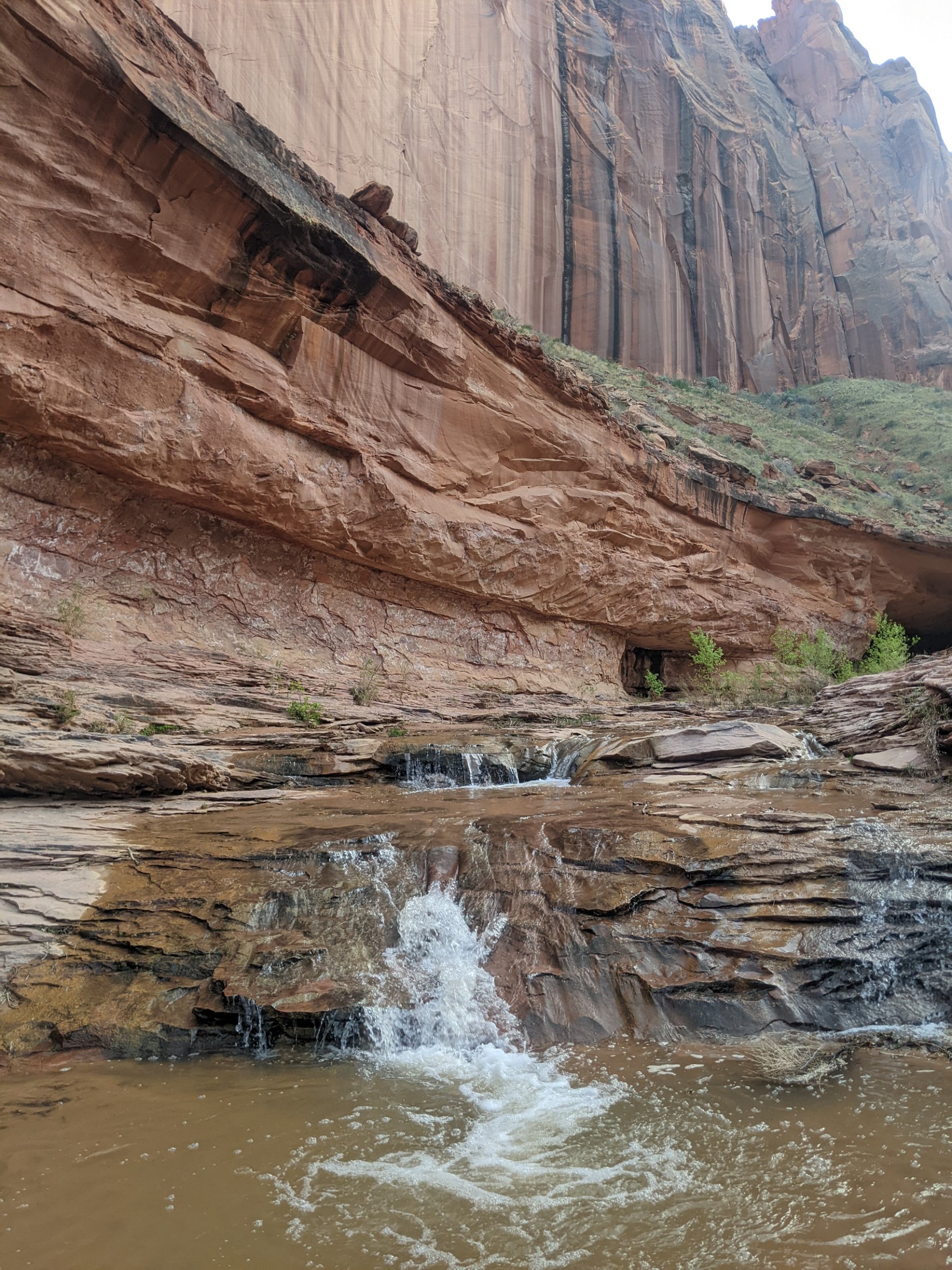
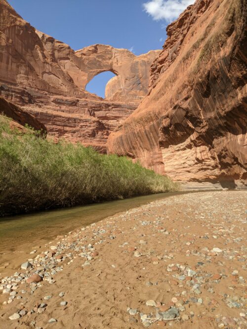
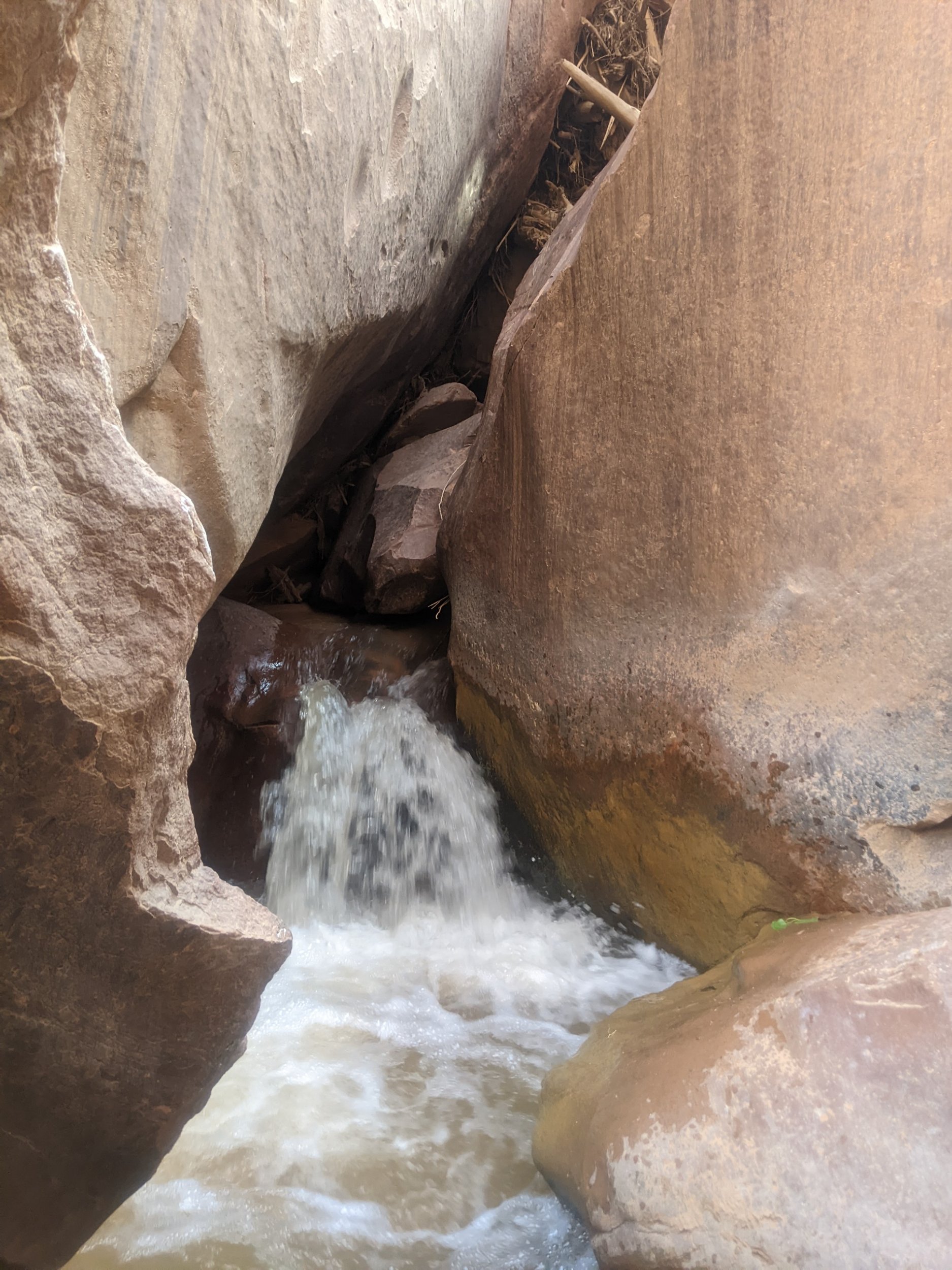
That guess turned out to be correct, and soon it became easier to walk in the water channel, with several shallow spots. The last few miles were almost all water walking, among grand vertical cliffs.
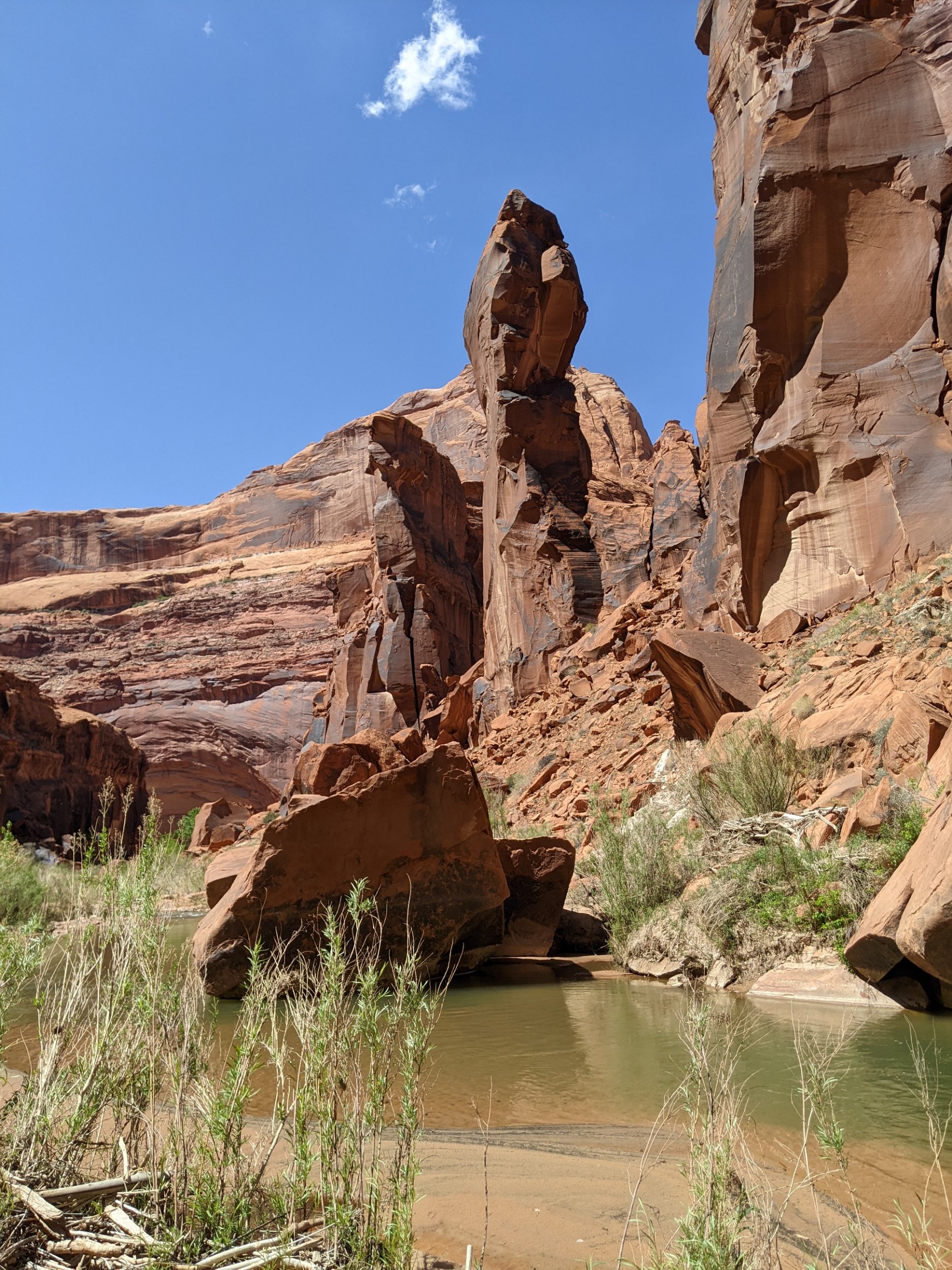
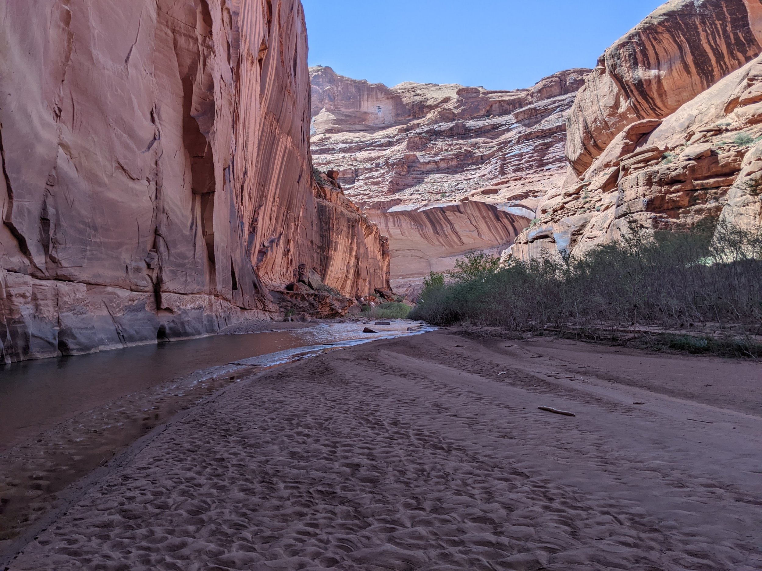
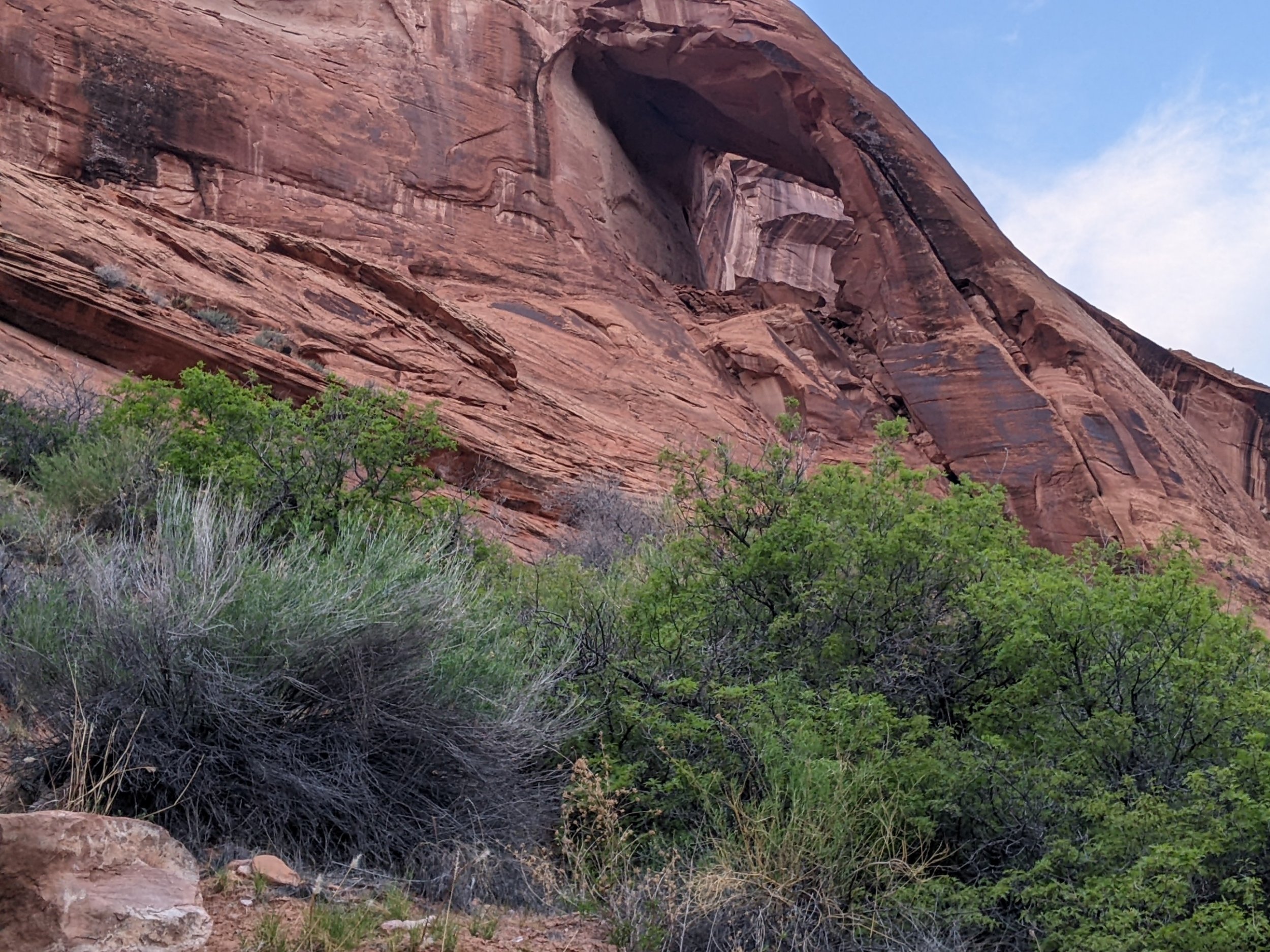
Finally we get to Steven Arch, signalling we are about to leave the Escalante River.
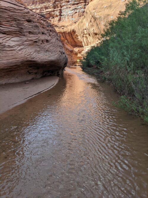
Hidden behind a stand of willow, an exit to a quite different waterway awaits, Coyote Gulch.
I
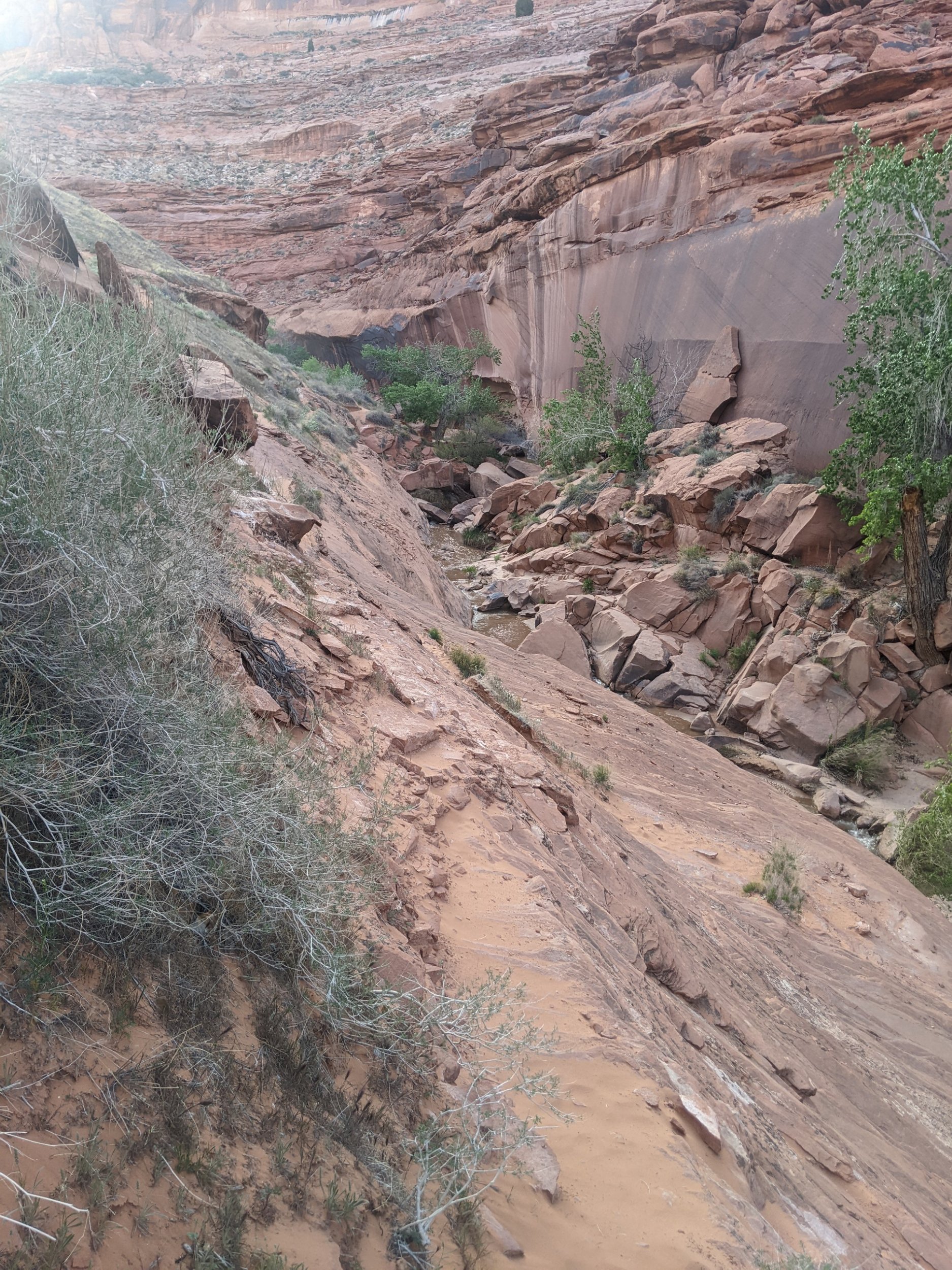
About 10-20 feet wide, sandy bottom with water flowing along most of the floor, the gulch has curved rock walls to inspire.
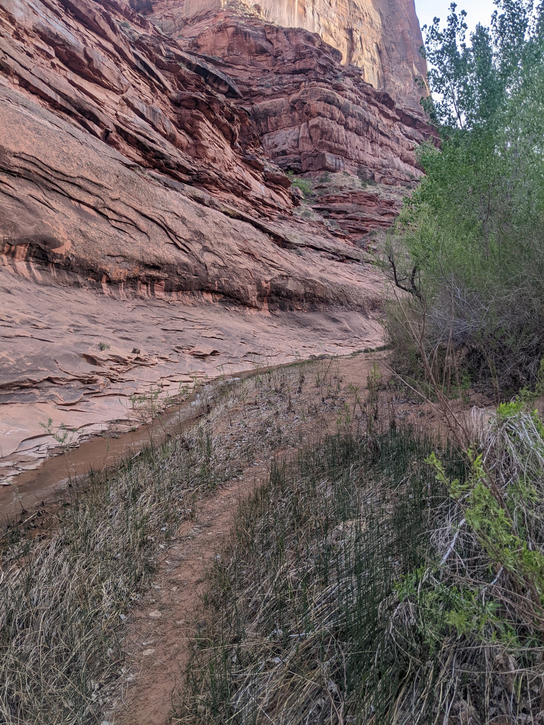
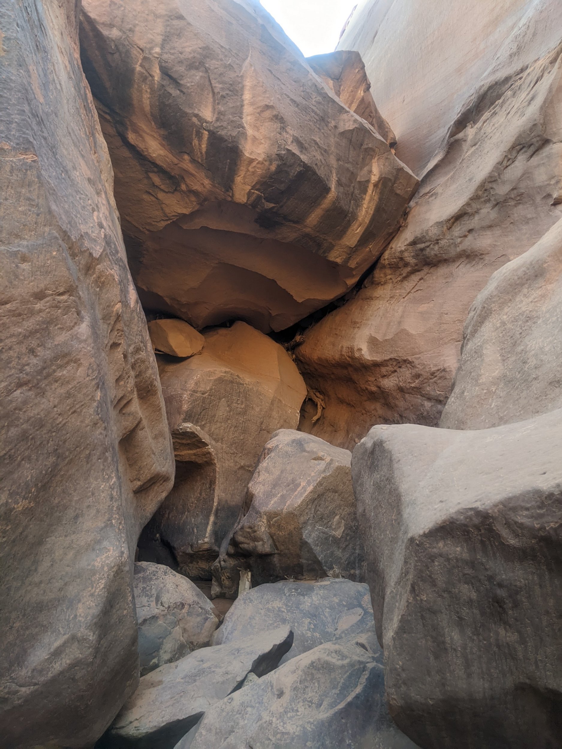
Soon I come across a huge rock fall that blocks the gulch. It appears unclimbable, and does not appear in my map or notes. But a climb-around soon becomes apparent.
The Gulch widens to have a footpath. Several families are camping during the weekend. Several falls are running. And Cliff Arch is the last view of the day.