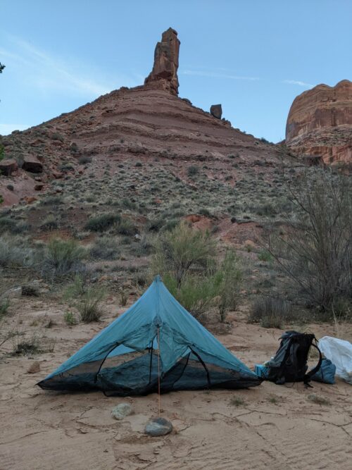
HDT 2022 Day 15, April 15, Friday
Start Escalante River S6 mile 34.2
End Escalante River, S6 mile 49.0, more than halfway on 25.5 mile river section
Miles walked:14.8
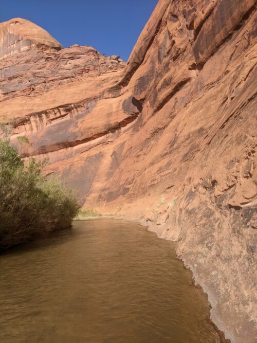
Beginning hiking along the Escalante, the water is clear so one can see the bottom to judge depth for wet-foot river crossings.
One might need to cross when the outside bend of the river gets too close to the canyon wall.
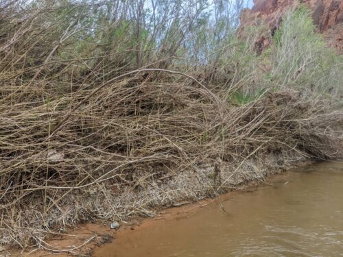
But the main reason to cross was the vegetation, a dense thicket of willow and tamarisk and reeds along the steep sand bank, with cottonwoods nearer the canyon wall. Density of vegetation would vary often.

Sometimes you could exploit a natural gap in vegetation, such as a space between the elm zone and the cottonwoods, or between any plants and the cliff wall. Or a seasonal drain might make a gap.
Often it was just easier to walk in the river. If water only came up halfway up your shoe, you could make good time, and their were frequent partially submerged sand or gravel banks to walk on– at first.
Later, just as in Moody’s yesterday, geology changed to have more frequent truck-size boulders fall from the canyon wall and plunge into the channel.
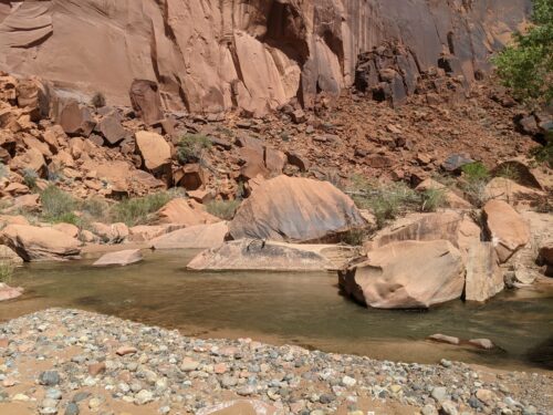
This caused more deep places in the river channel, as current flowed around the boulder and thus moved sand away from the boulder. Water depth becomes much more unpredictable, but as the day progressed water tended to be faster and deeper. And boulders would also fall along the banks, meaning more climbing over obstacles.
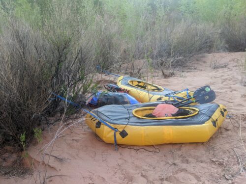
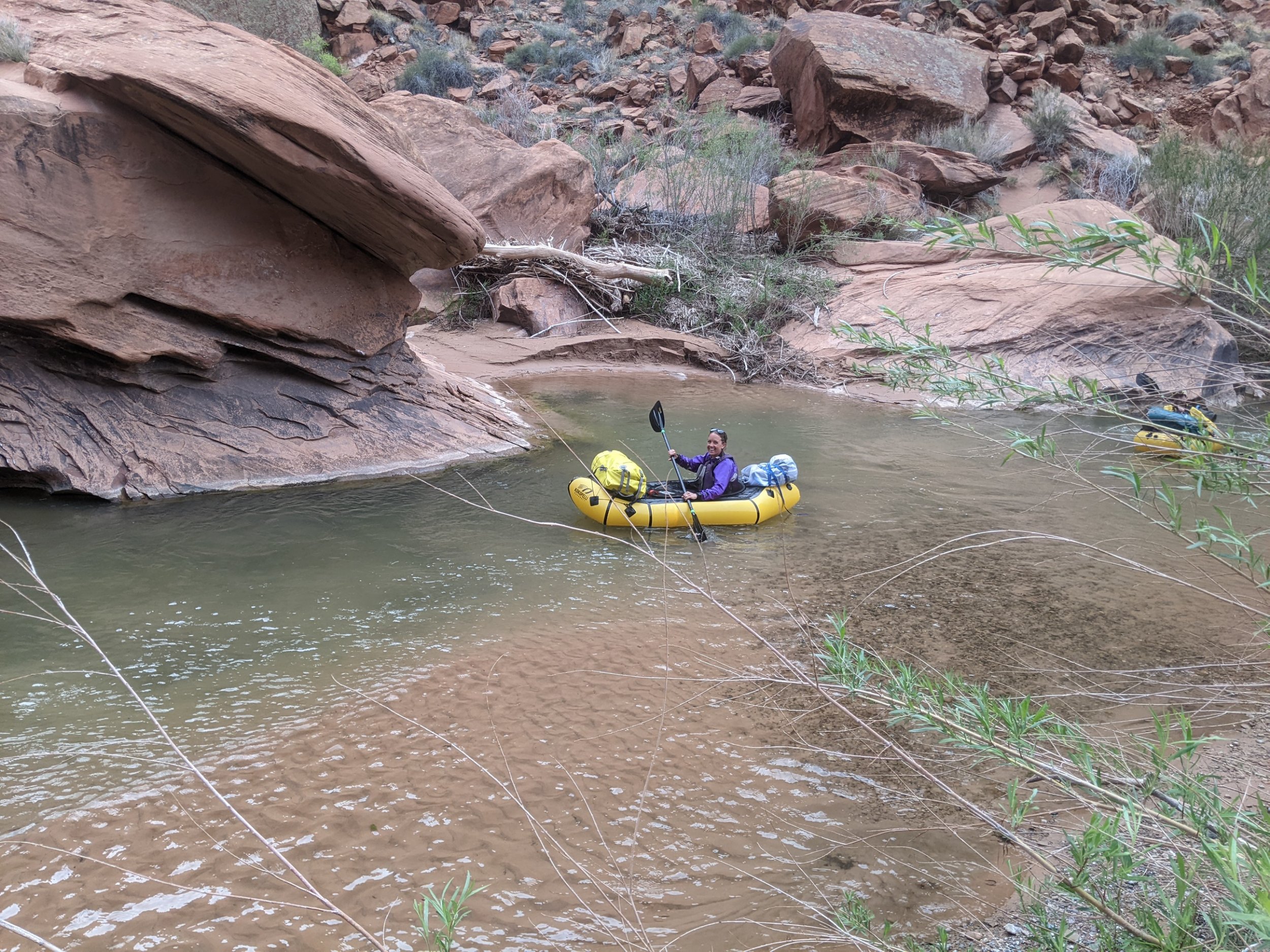
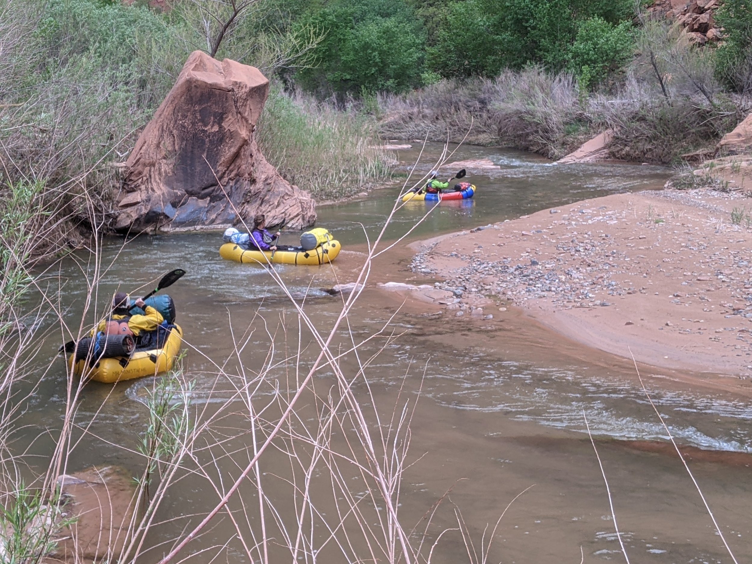
In the morning I passed a camp with small inflatable single-person rafts. They did not seem to be awake yet, so I did not stop to chat. But it gets you thinking– I am trying to hike a river that can be rafted?
Later in the day, river crossings became harder, and there was less walking in the river. One tended to just put up with the vegetation, and only cross when necessary.
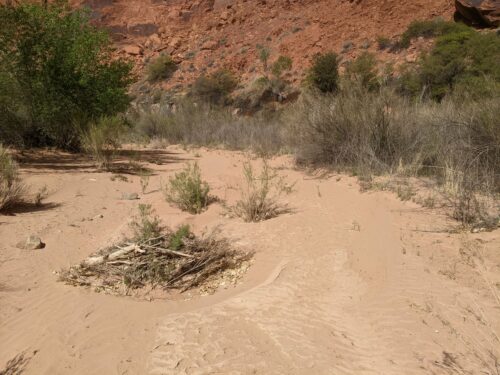
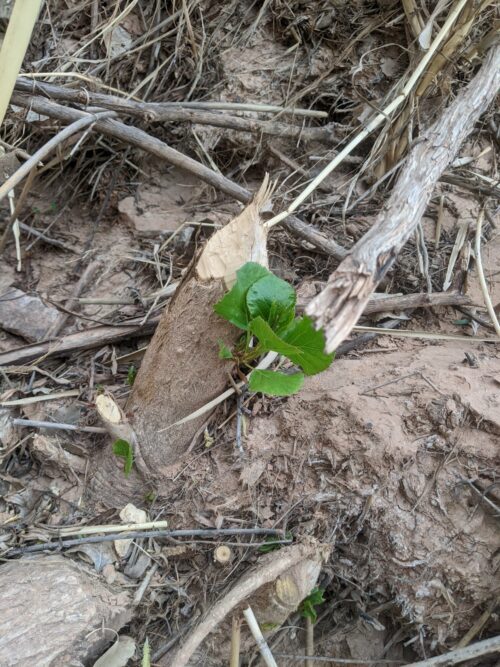
I saw beaver chew marks during the day. It would be pretty ambitious building a dam on the Escalante.
In the evening the rafters came by. They seemed to paddle the rafts like kayaks.
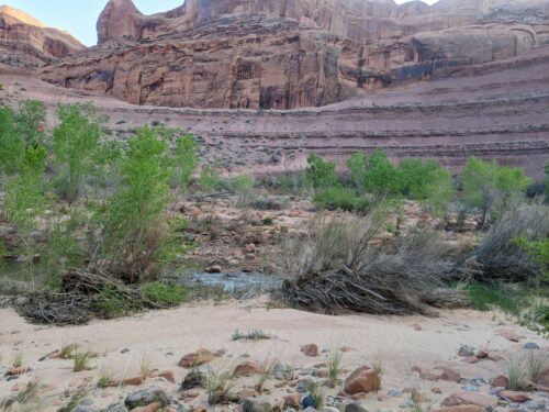
Near my campsite, I see an unusual purple rock formation, that resembles a huge dam over the river.
It has been a high-exertion day, but rewarding, and I got as far as I needed to complete the river tomorrow. Unless things get even more challenging– this is the HDT, after all.