I hike through Red River in early morning, using a nature trail along the river, behind the condos.
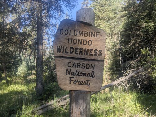
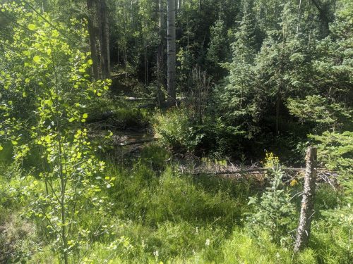
After a brief roadwalk I start on Goose Creek Trail in the Hondo Columbine Wilderness, with thick riparian growth.
The trail needs a sawyer crew.
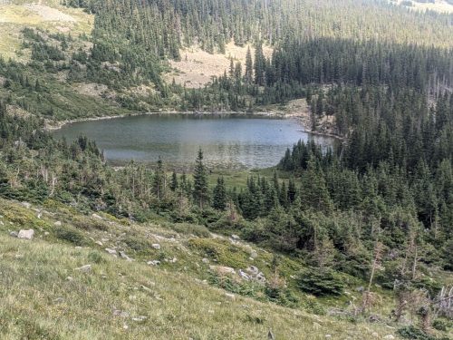
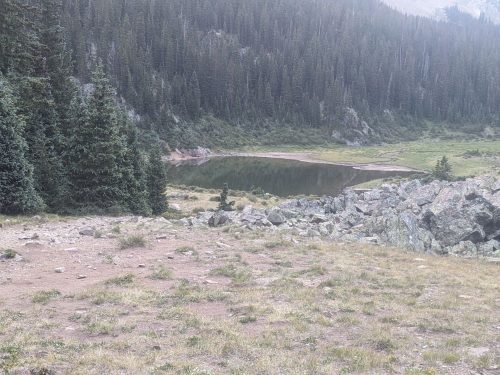
At Goose Lake the trail climbs a steep wall of switchbacks.
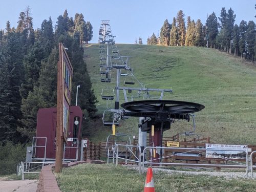
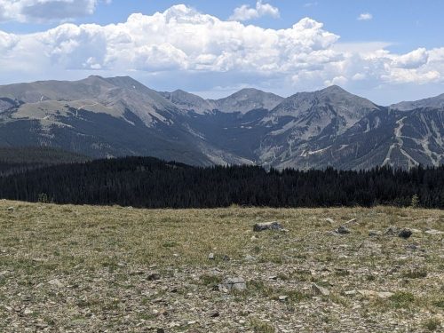
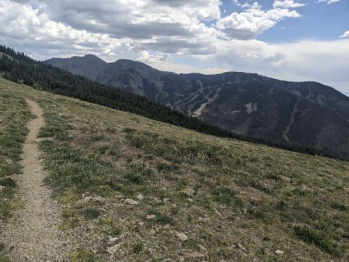
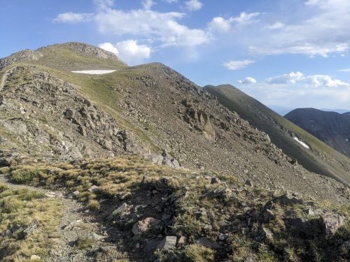
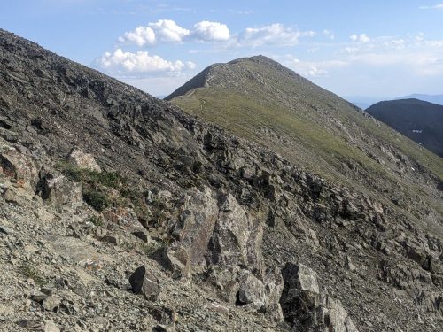
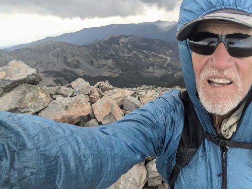
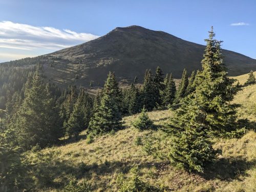
Mount Wheeler and nearby peaks stand tall, and Taos Ski Valley is visible.
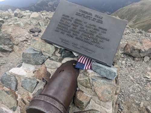
The NNML presents an optional 18 mile loop to climb Wheeler, the state’s tallest peak. I have never climbed it before. I would have to hike 10 challenging miles to a campsite just past the peak, and it is now 1PM. The weather looks acceptable. Challenge accepted.
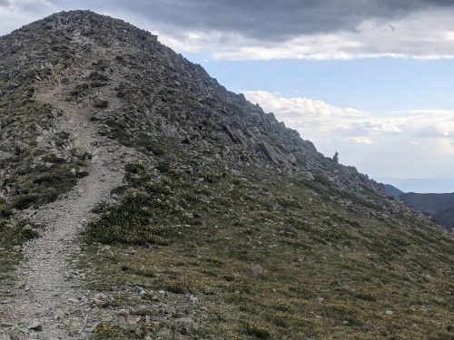
Wheeler Peak Trail is well-designed, which is a big help. The views are not bad at all.
Start S5 mile 13, just above treeline, 3 miles from Heart Lake
End S5 reroute, near Red River
Miles walked: 26
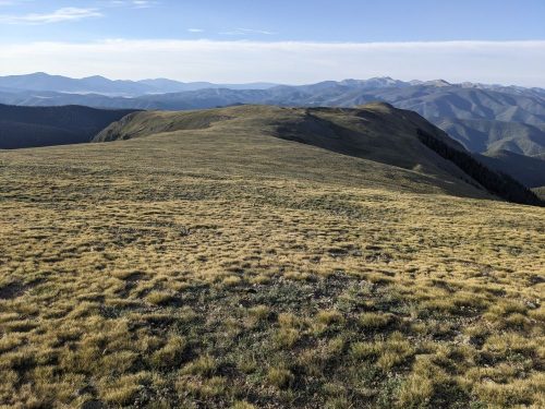
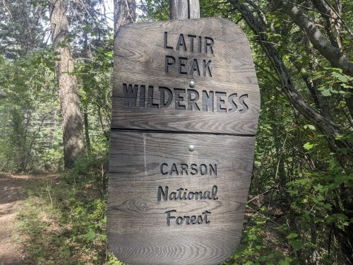
I proceed in the Latir Wilderness, walking from cairn to cairn.
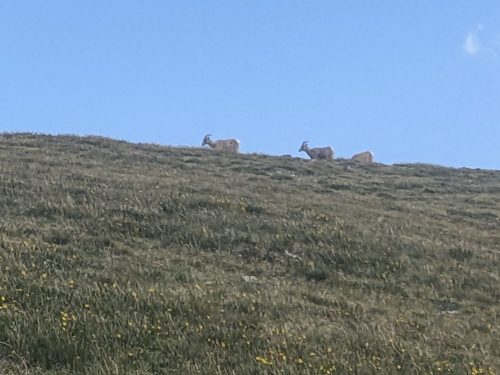
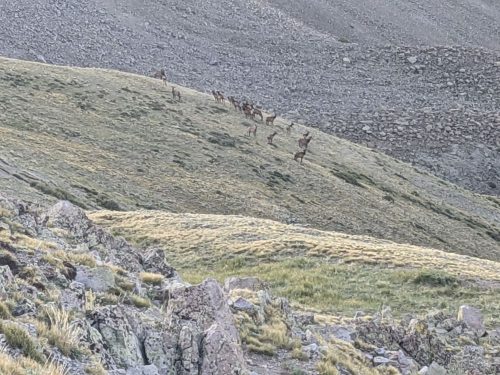
One cairn moved as I was walking to it. Turns out it was an elk kneeling.
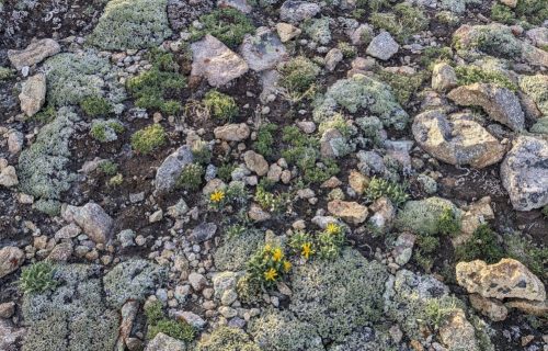
The sub-alpine plants are fascinating. I should learn more, so I can understand what I am looking at.
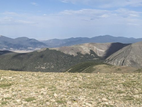
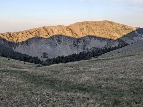
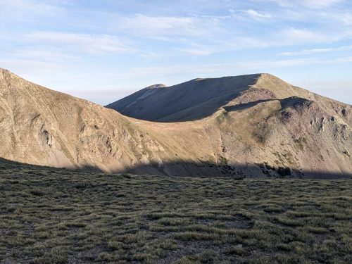
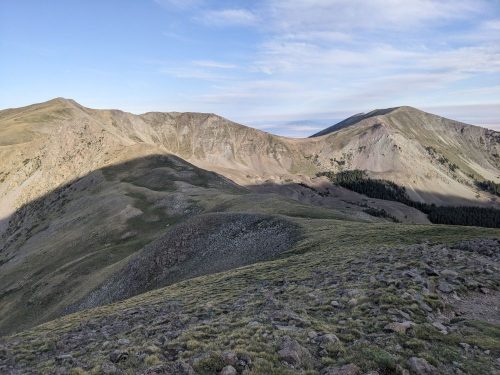
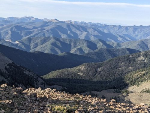
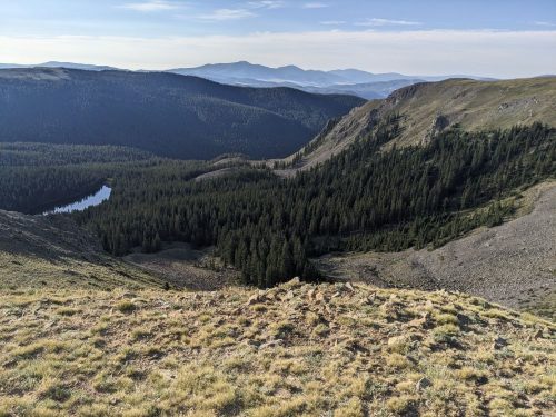
What views.
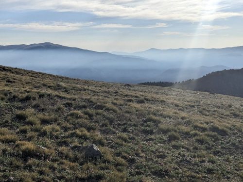
How fortunate that I am gifted with views today. The forest fire smoke has kept to the north.
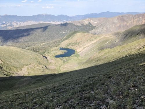
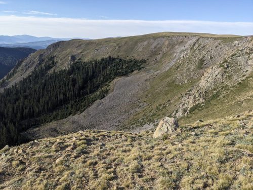
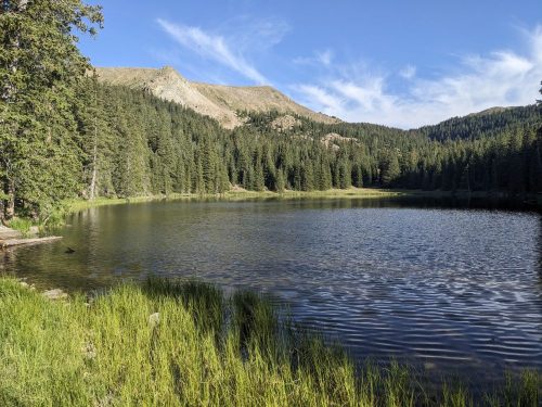
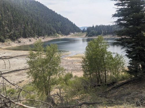
Approaching the lake, the route begins to descend from the heights and stunning views.
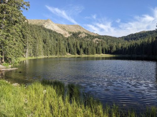
Heart Lake is a favorite destination for hikers. Many do not realize the views waiting for them if they climb up a short distance past the treeline.
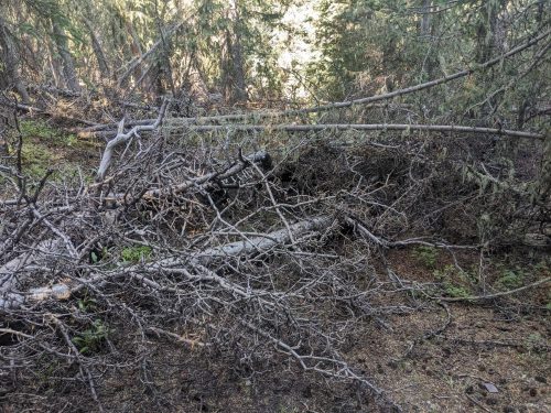
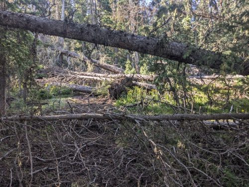
A huge blowdown of trees on Midnight Trail beyond the lake makes the route impassable. The route designer has offered an alternate out-and-back route, that requires going back on some of the trails I just hiked. But first, I want to hike on Midnight to survey the damage.
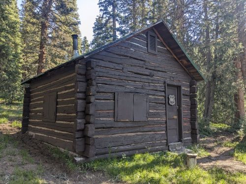
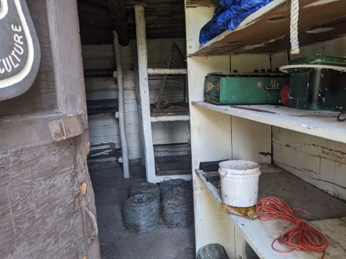
Baldy Cabin is interesting, but too dark inside.
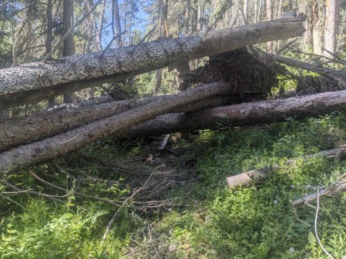
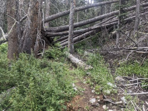
I do not get very far on Midnight before finding some blowdowns that are difficult to walk around.
One of these blowdowns involved several healthy trees, with roots pulled out by the wind. This is not close to the reported site of the big blowdown event, but it is still hard for me to proceed, and I turn back, resolved to investigate further after the hike.
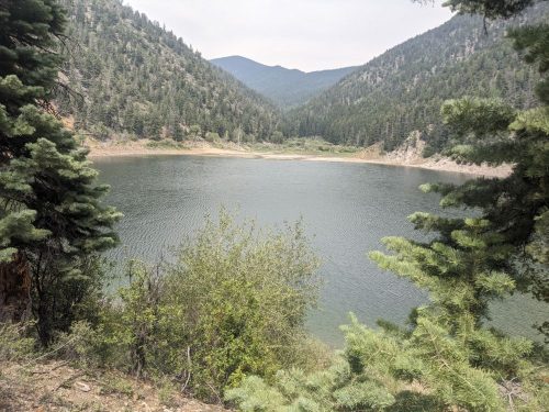
I use Lake Fork Trail to return to Cabresto lake from yesterday. Many fewer people are visiting today.
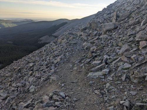
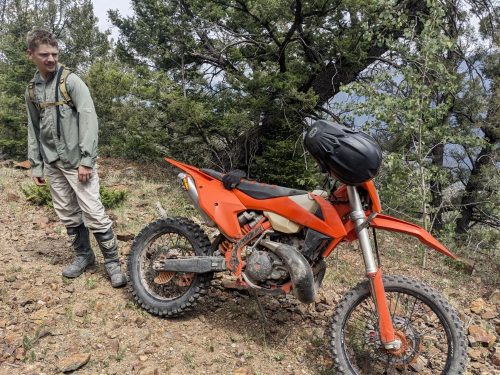
Later I take Trail 195 from the lake access road all the way to the village of Red River. The beginning of the trail is extremely steep with loose rock. A couple of dirt bikers, who started before me, find the going tough, and are ready to head back.
They are amazed I could get as far as I did.
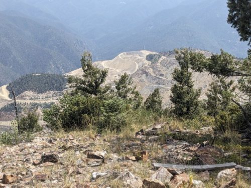
Finally finishing the climb, the trail goes along the ridge and is fairly level. Trees block most views, but I do see a molybdenum mine.
At the outskirts of Red River I grab water at a faucet at Junebug campground, which is full. I find USFS land nearby and pitch a tent.
End S5 mile 13, above treeline in the Latir Wilderness
Miles walked: 16
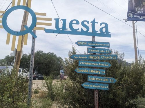
I hike into Questa to get more food supplies. It seems like it was not that long since I got food, but I ate 4 days worth in 3 days. The Hiker Hunger is really starting to kick in.
The supermarket opened early, and the people there were really kind. They let me charge electronics at an outside outlet, and they shared their Wifi with me, not usually public.
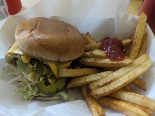
On the way back to the trail, I find a grill open early in back of a liquor store. The building looks sketchy from the outside, but The Grill at the MC was good quality, and the people there were friendly.
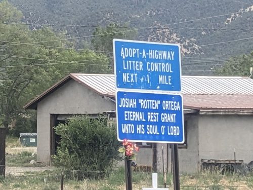
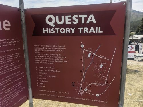
Questa is not so touristy as other towns like Red River, but it has its quirks and charm.
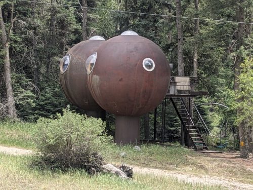
Llano Road into the Carson National Forest has several summer home inholdings, including this unusual one:
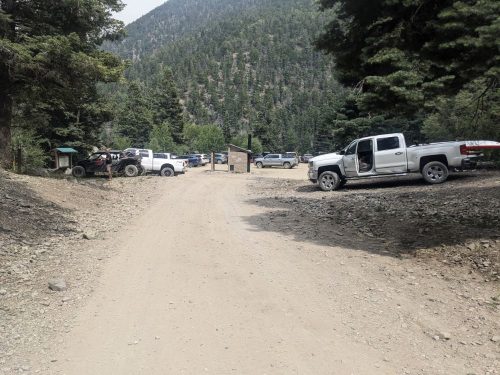
Many trucks and ATVs pass me on this July 4th weekend. Forest Road 134 up to Cabresto Lake is restricted to 4WD vehicles, and it seems everyone is headed there today.
Finally the route enters the Latir Wilderness.
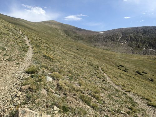
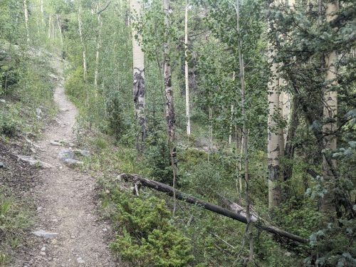
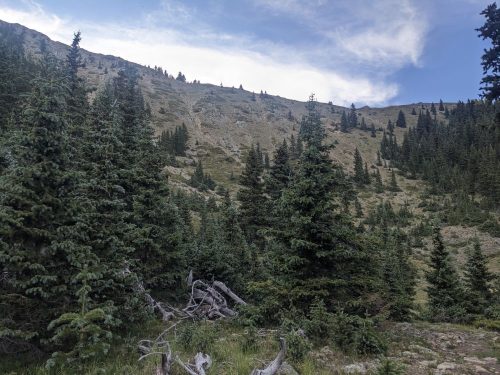
The trail keeps climbing and climbing.
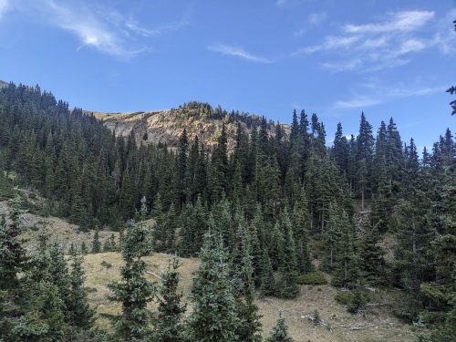
Finally, above 12k, you can see that we are about to get views. Wait, we have to climb up yet another ridge?
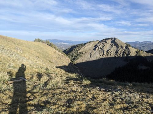
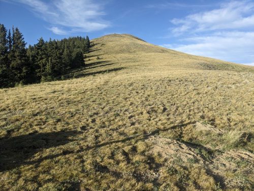
Finally the route is above treeline, and views exist.
I can see San Antonio Peak, which I climbed a few days before, as well as the nearby forest fire, but my camera cannot see that far.
My destination was Heart Lake, but I cannot get there in time, and the route is very exposed. I stop and descend into the spruce forest for shelter, but no winds or temperature drops happen this night.
Finished audiobook The Valley of Fear, by Sir Arthur Conan Doyle. This is the last of 4 novels, though many short stories follow.