GET 2017 Day 3, March 20, Monday.
Start near Angel Basin, section 1 mile 25.9.
End near Superior, section 2 mile 16.2
Miles walked: 20.6
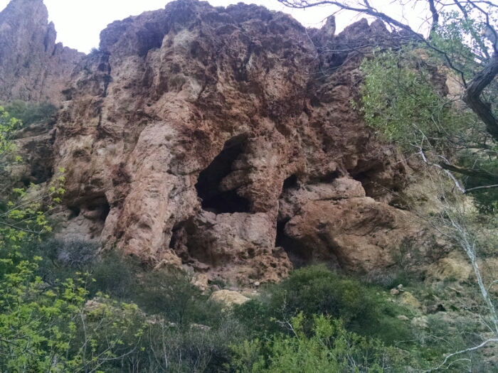
In Roger’s Canyon, cliff dwellings guard the entrance.
The canyon is also notable for the change of plant life. Gone are all succulents, replaced by actual trees. The high walls and narrow canyon trap air cooled by rushing water, making for a pleasant morning walk that corkscrews through the passage.
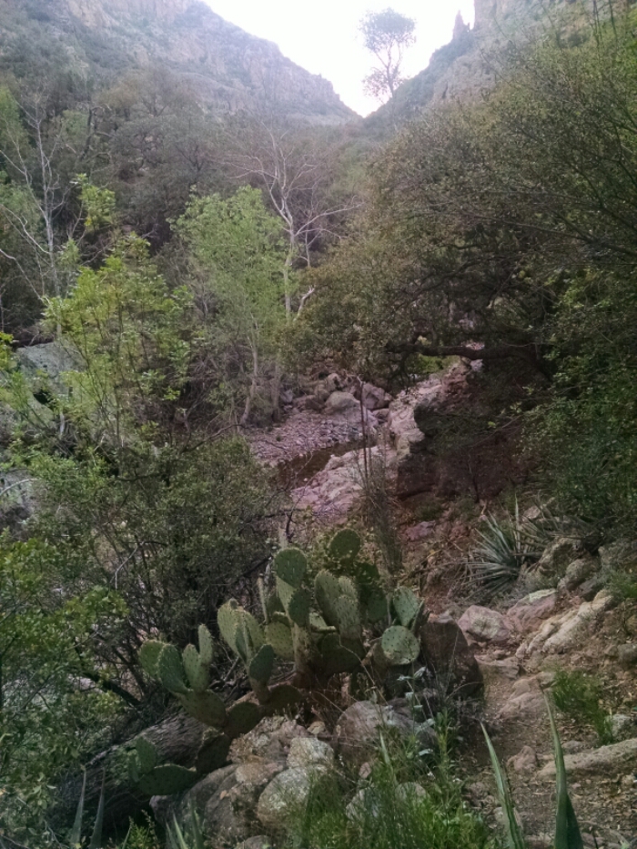
Our way joins the official Arizona Trail (AZT), which we share for several days, almost until Monument. We continue following Roger’s Canyon and exit Tonto Wilderness.
I meet four northbound AZT hikers, two section hiking and two thru-hiking. Each tells of meeting several GET hikers going in the opposite direction, just a day or few ahead of me.
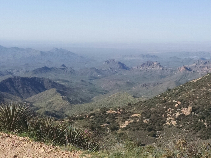
Going up Montana Mountain (ahem) on a forest road provides views from the top of the Tonto I just crossed.
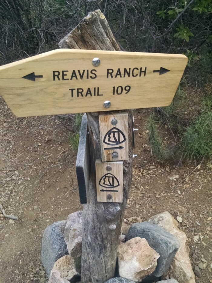
A bewildering number of switchbacks descends to Reavis Canyon, with tricking water available off and on. The canyon begins too high for any saguaros or other cacti, but gradually descends to altitudes where saguaro thrive.
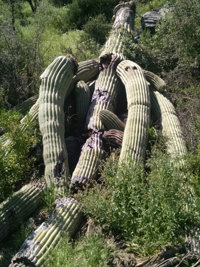
A huge saguaro is down along the trail.
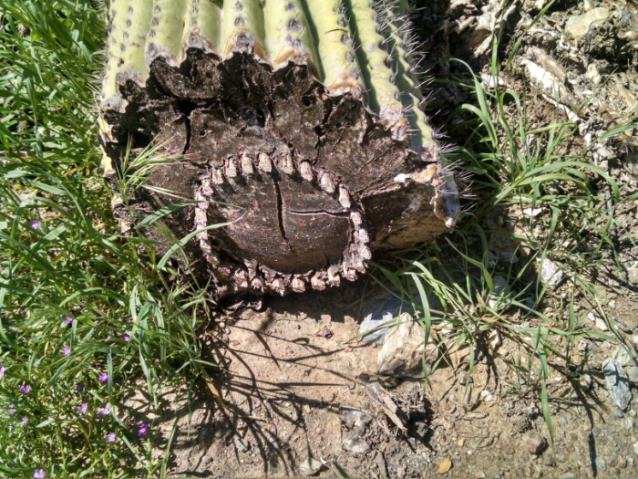
Looking at a cross-section of one of the broken arms shows the internal structure, with woody stems arranged in a circle, perhaps for strucural support or for circulation.
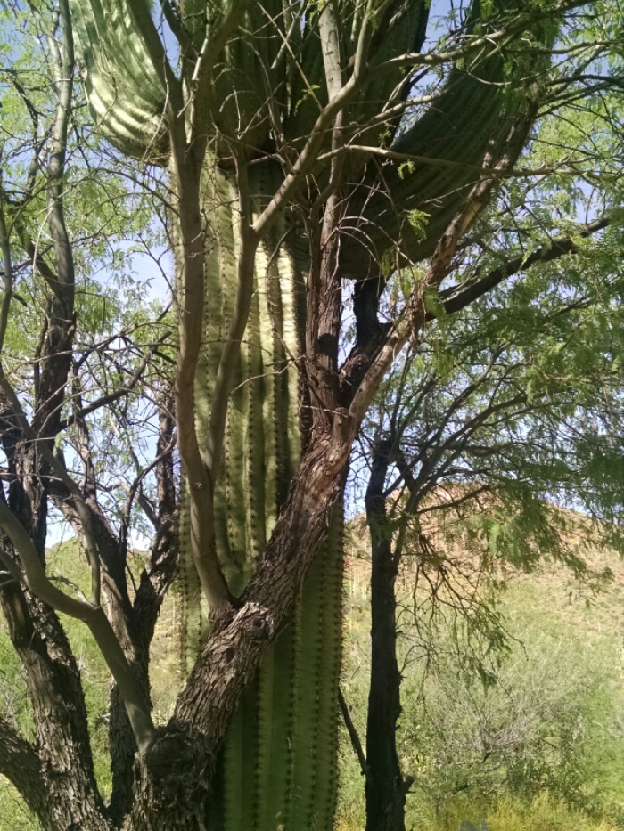
Later, in Whitford Canyon, a saguaro is intertwined with mesquite.
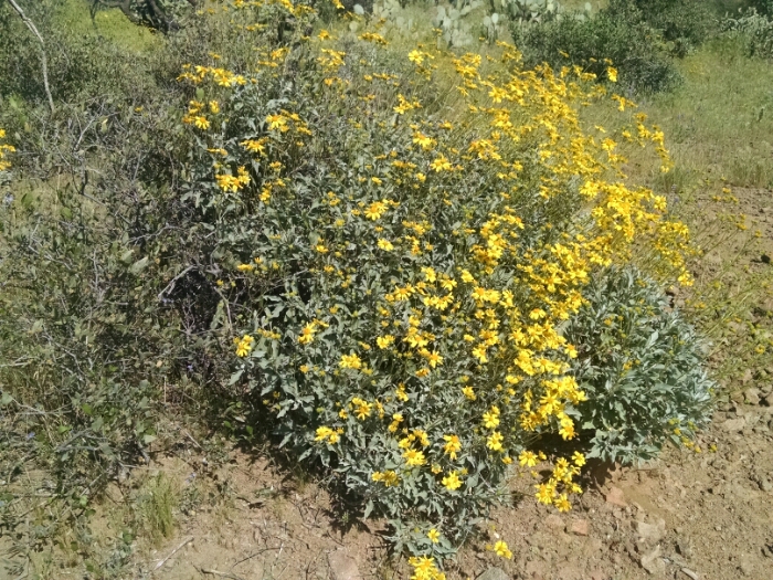
A hillside is covered with yellow flowers and saguaro.

This is what the yellow flowers look like up close, produced by a small shrub.
The trail descends down to US60, about five miles from Superior. I have a supply box coming, but it is late in the day and the post office is closed. I walk closer to town and stealth camp on public land, hoping to make a quick entrance and exit in the morning.