Crossing

  • NNML 2026 Day 2, June 19, Friday
  • Start S1 mile 12, near USFS trailhead
  • End S1 mile 32
  • Miles walked: 20

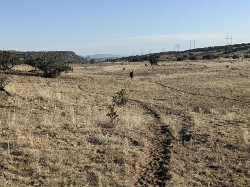
The route resumes on El Camino Real for a while, alongside Buckman Road and power lines. The road and power lines go straight to the Rio Grande, and the electricity powers a series of pump stations to lift water from the river up to Santa Fe county. The elevation differeence is too much for a single pump station to handle.

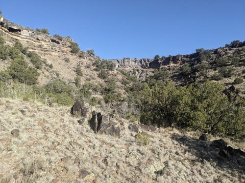
Then we turn sharp west, and climb up a ridge, and will avoid Diablo Canyon.

I hike several miles west on a series of 2-track roads.

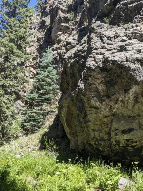
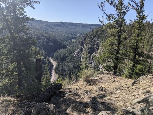
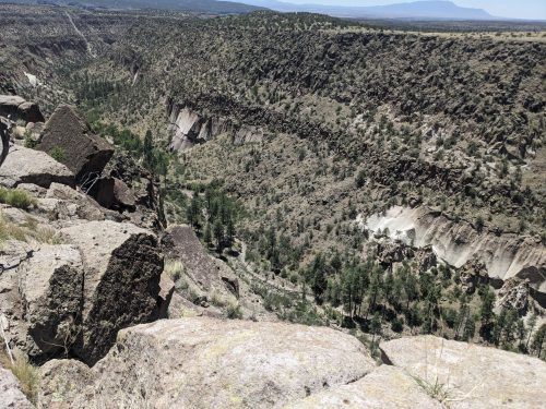
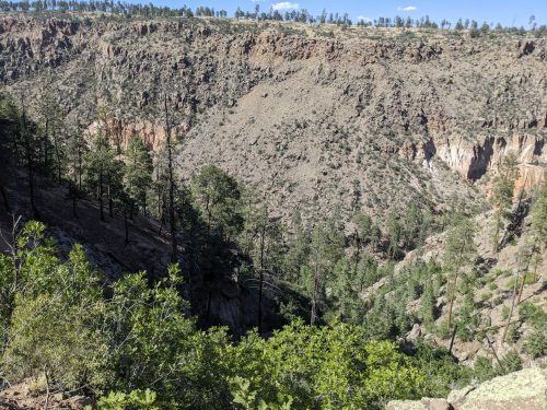
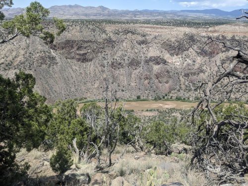
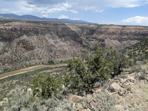
Finally the route descends down the Rio Grande Gorge, with canyon walls hundreds of feet high.

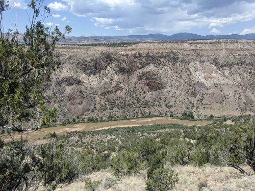
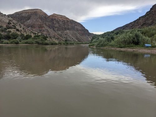
My place to cross the Rio is wide and shallow. On my first NNML trip, the water was too deep, so I had to hike back, and get a ride on the other side at White Rock. Will I make it this time?

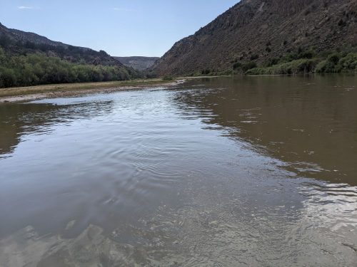
Yes! The water level is quite low this year, and I know from checking online water gauges. Here is the view from the middle of the crossing.

The water only comes to my knees, and then to mid-thigh in one spot, with low flow attempting to push me sideways:

Other hikers in other years needed a pack raft or kayak to cross. Just because one dude was able to wet-foot cross in 2026, do not assume you can.

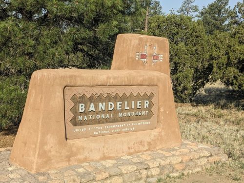
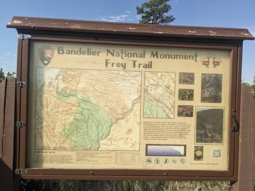
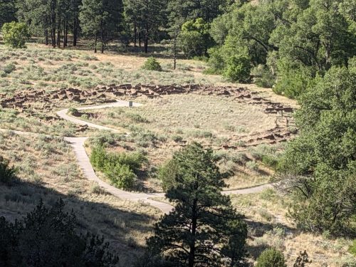
The route up from the river used to be a trail up Frijoles Canyon, but that route was wiped out by the Las Conchas Fire. There is an alternate way up, very steep with loose rock, but I choose the safer route up Ancho Canyon, adding 10 miles to my trip. I need to go several miles upstream along a River Trail, often disappearing or blocked by lush riparian growth.

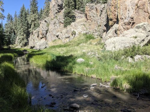
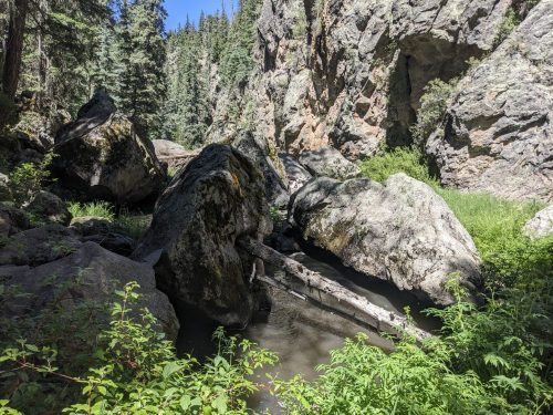
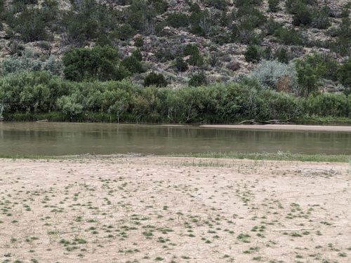
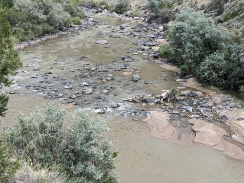
Here is the view of the river where I start climbing up. Definitely too low for river rafting.

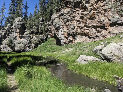
Ancho Canyon has a trickle of water, so I do not need to drink directly from the Rio Grande. I climb up a bit, then collapse, exhausted, and can go no more today.

Finished audiobook Death Comes For the Archbishop, by Willa Cather. Appropriate setting for where I am hiking.

NOTE: I only learned the next day from the trailhead sign that camping is prohibited in Ancho Canyon. I have asked that my guidebook be updated.

Restart

  • Northern New Mexico Loop NNML 2026 Day 1, June 18, Thursday
  • Start Santa Fe Plaza
  • End S1 12 near Headquarters Well, on BLM land
  • Miles walked: 12

I did the Northern New Mexico Loop a few years ago, but the route has been updated to go near Taos, so I wanted to try the route again.

Refreshed from a night in Albuquerque, I make my way to the downtown train station to Santa Fe, pausing once to take a selfie at a pawn shop on-route famous for its eye-catching sculptures out front.

Santa Fe Plaza is a respite of shade, with several people resting on benches, people-watching.

The route follows a paved multiusee greenspace trail west along the Santa Fe “River”, now dry. The trail is also marked as “El Camino Real” hiking trail, after the historic trading route between Santa Fe and Mexico City.

Past the community of Agua Fria, the route crosses over a freeway and continues as a bikepath alongside Caja del Rio Road. I divert to a city golf course to grab more water in their restroom next to a restaurant.

Signs ata USFS trailhead describe El Camino Real. The trailhead has a shelter and toilets, and I pause for dinner.

The USFS land here is limited to day-use by special posted order, but BLM land is nearby, where I camp.

Finished audiobook The Red Harvest, by Dashiel Hammett.

Rio Puerco Trail Scouting 2022

Four NMVFO volunteers met to scout the Rio Puerco Trail #385 at the eastern edge of the San Pedro Parks Wilderness north of Cuba, along with the PeƱas Negras Trail #32 and Perchas Trail #418 that form a 6 mile loop together. We met at Resumidero Campground (Google Maps is wrong on how to get there!) and drove 3 miles south to the Rio Puerco Trailhead.

A huge number of big-diameter fir trees were down, making the trail an obstacle course to hike. Several cut ends of logs were visible to show us where the disappearing trail was supposed to go. The old cut marks demonstrated that the trail has seen love in the past. The trail needs more love from us right now.

We marked the route with biodegradable survey tape. After a difficult 2 miles in, we reached the beginning of the loop at a large park area, Vega Redonda, and had lunch.

We continued hiking on Rio Puerco Trail for another mile or so, to get an idea of the density of downed trees on the loop, and then returned to Resumidero Campground via the Vega Redonda Trail #43, as rain threatened.