Misc

  • NNML day 22, July 9, Thursday
  • Start S8 mile 0, Ranchos de Taos
  • End S8 mile 25.6, meadow just beyond Agua Piedra Campground
  • Miles walked: 25.6

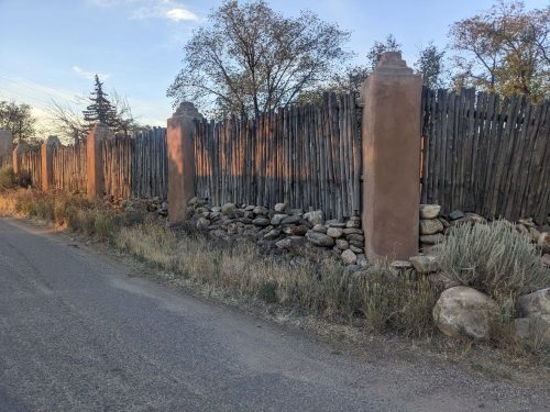
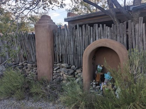
Walking out of Ranchos de Taos along Camino Abajo de la Loma, ths neighborhood theme seems to be “charmingly dilapidated”. But nearly every rancho has a coyote fence.

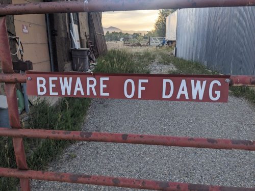
NM 518 continues the neighborhood theme.

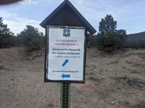
I divert from my route slightly because of an USFS notice.

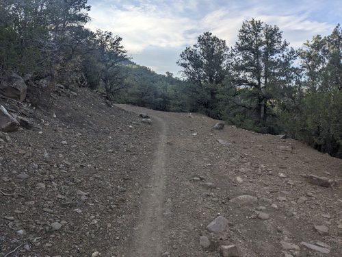
Rio Grande del Ranchos Trail 18 goes for several miles through piñon and juniper forest. Nice trail, good for mountain bikes, Trnil 18 is old roadbed converted to single-track.

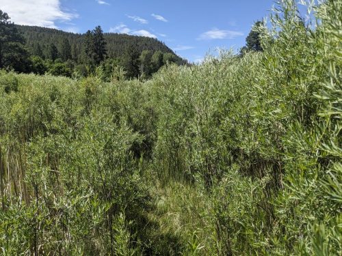
Approaching Rio Grande del Rancho, just a creek with a long name, first I need to push through a thicket of willow.

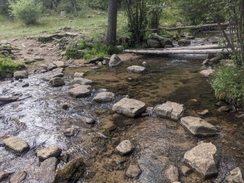
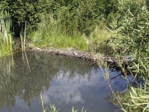
The wet-foot crossing of Rio Grande del Rancho seems deeper than I figured. Then I see the nearby beaver dam.

The route follows a utility line road, and I take no photos because I do not want to remember the steep ascent.

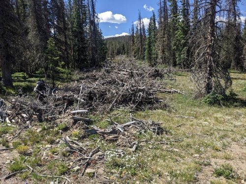
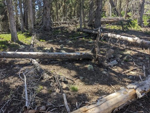
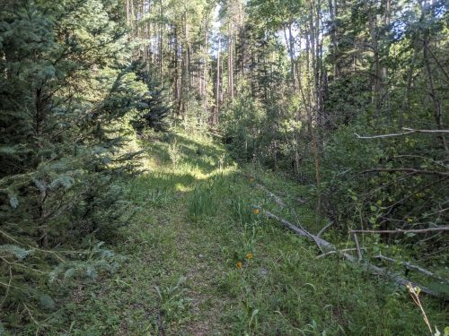
On a mountain of mixed conifer, a succession of 2-tracks must be navigated. So many roads up here. And I pass many ghost roads– roads that have been allowed to be overgrown. Was all this from old logging?

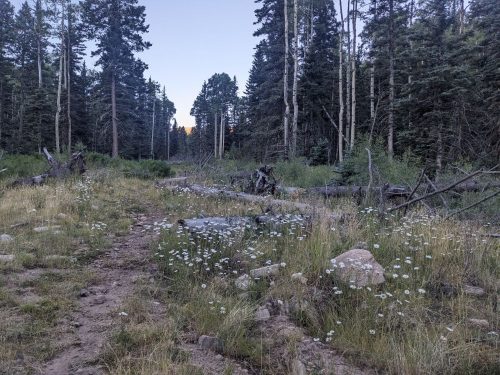
I come down the mountainside on Flechado Canyon Trail, go past Agua Piedra Campground, and find a campsite beyond the fee area in a meadow.

My trip journal app must have accidentally updated at the last town, and no longer works correctly without an Internet connection. Well, fudge.

Finished audiobook Pimpernel and Rosemary, by Baroness Emma Orczy.

Rio

  • NNML 2026 Day 20, July 7, Tuesday
  • Start S6 mile 22, San Cristobal Canyon
  • End S7 mile 24.3 on West Rim Trail
  • Miles walked: 29.3

Coming out of Cristobal Canyon, I met a couple with several Borzois, preparing to hike.

The village of Cristobal has all dirt roads, and displays its own unique charm.

Horsethief Mesa Trail plays along the east rim of the Rio Grande gorge. Volcanic rock sometimes piles up, involving climbing and descending. The trail looks good for mountain bikes, with wide swooping turns. Great views, though sometimes the gorge is so steep thae it is hard to see the river itself.

Then the NNML goes cross-country down below the rim at a somewhat safe spot, and crosses the John Dunn bridge over the Rio Grande… River.

Now the route does something truly audacious, going parallel to the west rim for several miles cross country and folloing 2-track, eventually arriving at the next bridge across the river, the Rio Grande Gorge Bridge, with its graceful arc over a wide span.

The rest stop is pleasant and shady, and provides water on this very hot day, but for some unknown reason, the restrooms are locked, with no warning to motorists.

At the rest stop is the trailhead for the West Rim Trail, which follows along the rim for several miles south, all the way to the next bridge. Wow. The trail stays close to the rim the entire way, along single track and 2-track, on very level ground. Initially the cliffs are extremely vertical and the gorge is magnificently deep.

I took more photos, and if you have me over for tea someday, you can see them.

Late in the day the gorge starts to widen, and the cliffs are not so vertical.

I pitch my tent right against the rim. Here is the view from my tent door.

Hope I do not roll around in my sleep much tonight.

Finished audiobook Rilla of Ingleside, by Lucy Maud Montgomery, part of the Green Gables cinematic universe. Read by Karen Savage.

Too Many Vistas

  • NNML 2026 Day 19, July 6 Monday
  • Start S6A mile 10.7, Wheeler Lake
  • End S6 mile 22, San Cristobal Canyon
  • Miles walked: 21.3

I trail-washed my clothes last night. I am hardly smelly at all today.

A short hike takes me to Taos Ski Village.

Since I decided to take the optional Wheeler Loop, I should add another dinner to my food bag. But many shops do not open until 9 or 10, and I do not want to wait that long, missing prime morning hiking time. Finally, I get a couple of breakfast burritos from a coffee shop that opened at 8, and move on.

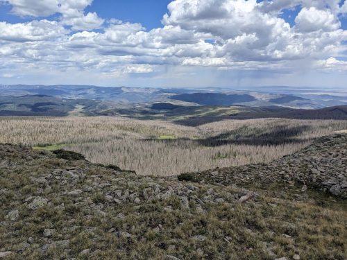
I complete the Wheeler Loop using Long Canyon Trail, with no views to photograph. Then the route switches to Lobo Peak Trail for 9 miles, which tends to stay along a ridge, with views on both sides.

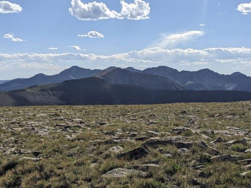
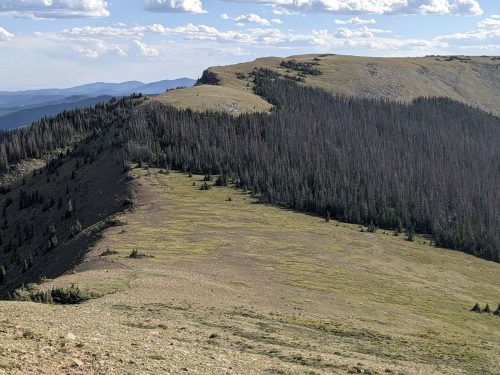
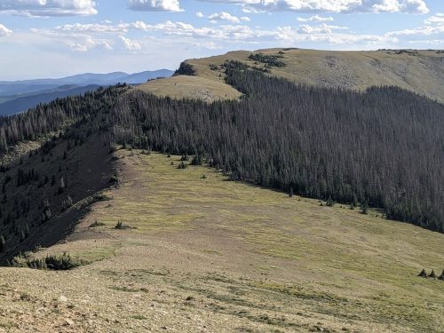
The ridge makes turns, and often the best view is of the section of ridge I am about to hike on.

Sometimes the route drops down 100 feet from the top of the ridge, to save the hiker climbing up and down so much.

More views:

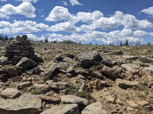
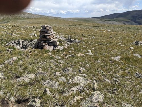
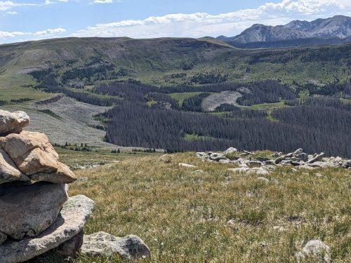
Sometimes a peak is on the ridge, and the route insists on climbing right over the top of the peak, instead of going around. You cannot imagine the effort it took for me to get to this cairn on an unnamed peak in forest with no views.

Rain and smoke from the forest fire are limiting views at times.

Finally I get to Lobo Peak, and the climb here is not too bad.

After another mile or two my route switches to San Cristobal Canyon, with good tread, and blowdowns cleared.

Where my databook suggests I can find water, San Cristobal Creek is bone dry, and I start to worry. But further down the trail, I hear running water, and the canyon transforms into a lush garden of flowers and foliage.

Finished audiobook The Last Space Ship , by Murray Leinster.