- NNML 2019 Day 16, June 25, Tuesday
- Start near Arroyo Punche corral mile 248 (sec4mile38)
- End on mile 22 of Rio Grande Highwater Trail, which departs from NNML at mile 260 (sec4mile50)
- Miles walked: 34
After the route goes around one of those isolated rounded hills, I have a choice of continuing to Sheep’s Crossing to ford the Rio Grande, or take the alternate route south along BLM dirt roads for 15 or so miles to John Dunn Bridge, and then back up. Since this is such a high snow-melt year, I choose bridge. Most of the dy is road walk, so crank up the audiobooks, stretch out the stride, and the view mostly looks like this.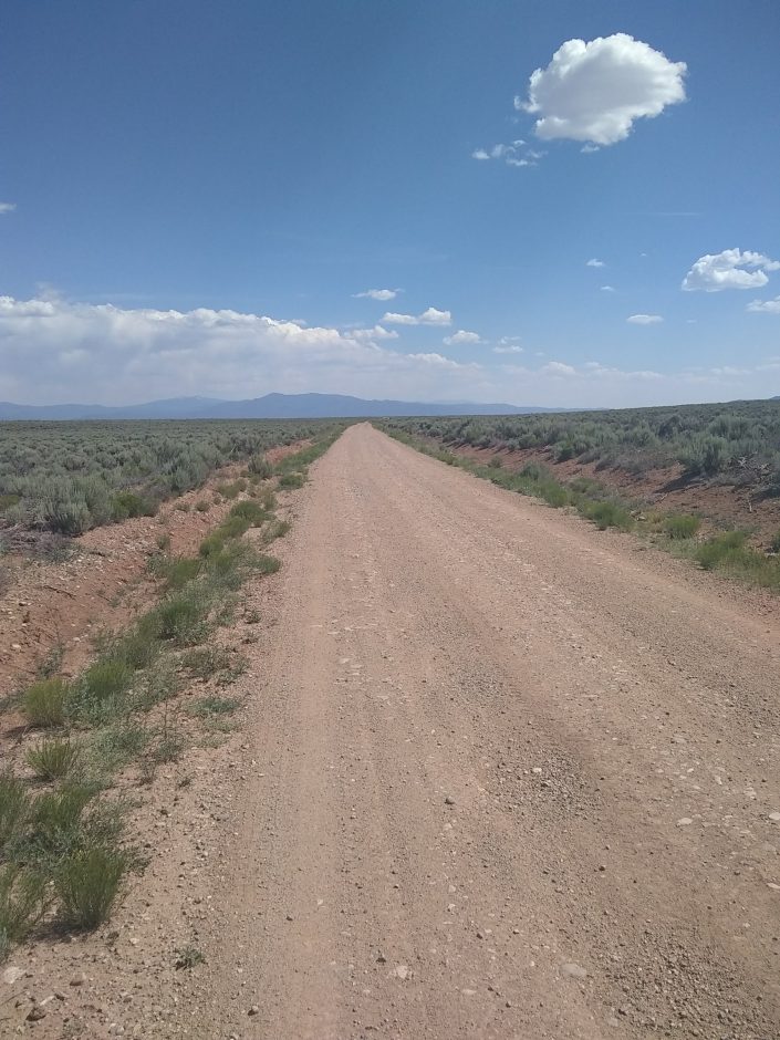 Later a whole forest of dead sagebrush, with just a few living ones near the road, come into view. Is this a bad omen with my namesake?
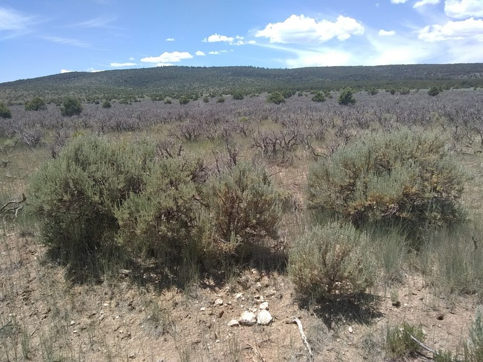 Near the bridge site high vertical cliffs on both sides constrain the water to a narrow channel, compared to what was at the Bandelier crossing.
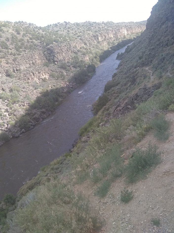 Here is the bridge. Several people are taking in or launching rafts and watercraft at a nearby ramp.
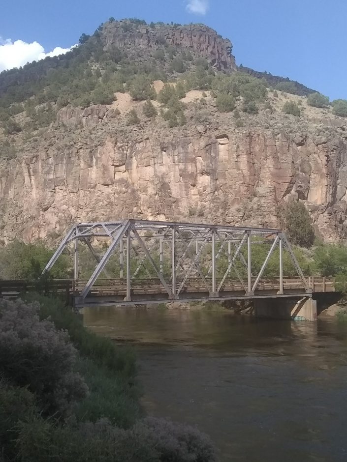 One rafter tells me I made a good choice skipping Sheep Crossing.
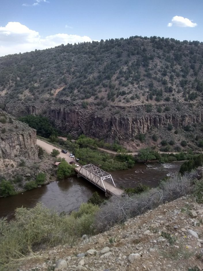 John Dunn built a hotel near the bridge, whose remains can be seen today.
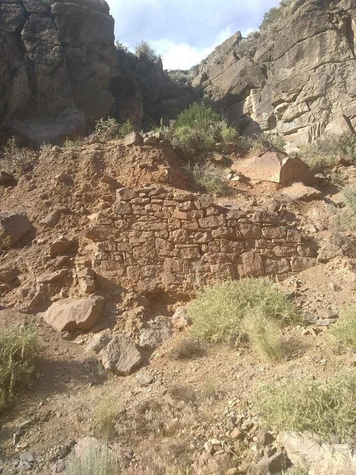 On the other side of the river is the village of Arroyo Hondo, which I must pass to get to public lands, so the day is late when I find a campsite.
- Finished audiobook The Black Tulip, by Alexander Dumas.