HDT 2022 Day 14, April 14, Thursday
Start base of Red Slide, S6 mile 17.9
End Escalante River 34.2
Miles walked: 16.3
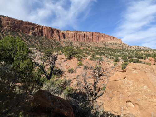
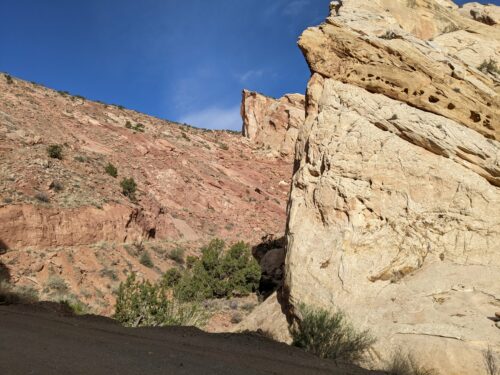
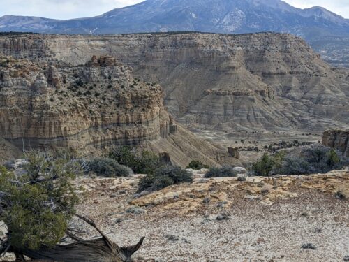
The Red Slide appears to be a huge pile of red rocks right up against the Capitol Reef fold, and, just guessing, is part of the same geological uplift event.
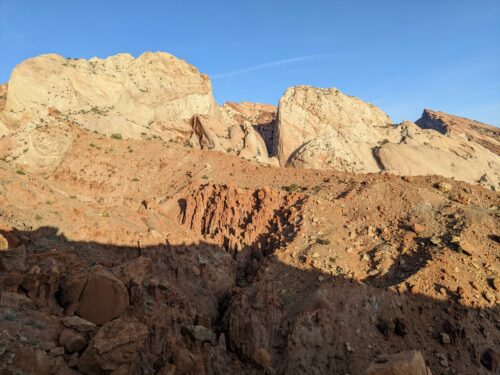
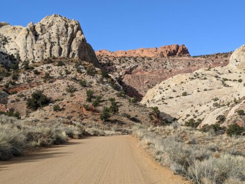
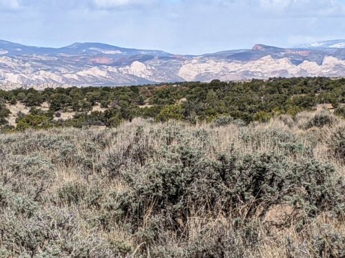
Following an old mining track on Red Slide, the next task is to climb up to the Rim of Moody Canyon cross-country, dodging pinon+juniper and washes and ridges and huge boulders.