CDT Montana 2016
Day 2, July 7, Thursday
Start near 03-075WT where Mack’s Inn route merges back with main CDT route, just inside Montana border
Stop 03-270M somewhere in the Centennial Mountains and Targhee National Forest
Miles 4.5 + 7.2 + 4.9 = 16.6
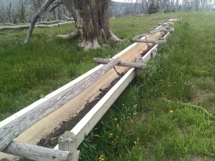
After breaking camp, I found real built trail to walk on near the campsite that was not visible yesterday.
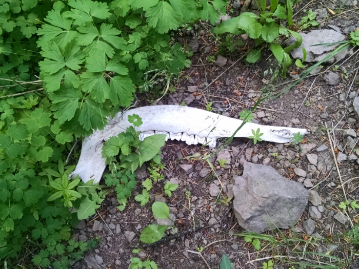
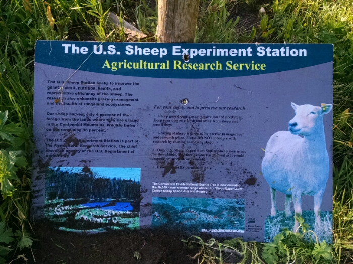
A sign describes the Experimental Sheep Station, active in July and August. No sheep were seen all day.
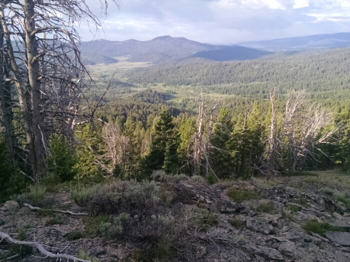
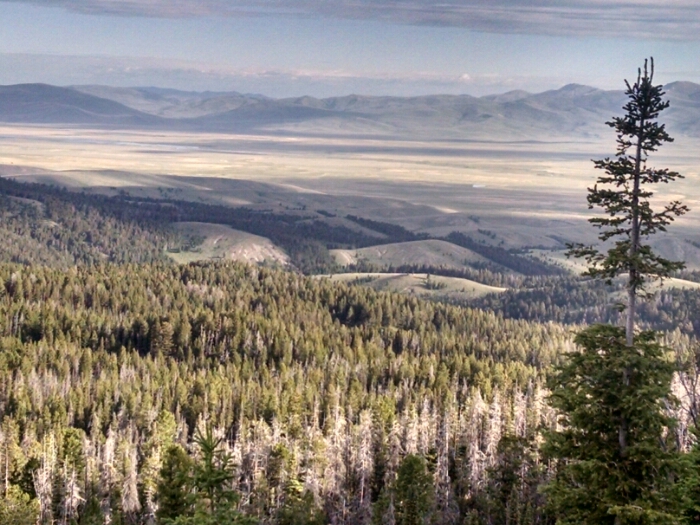
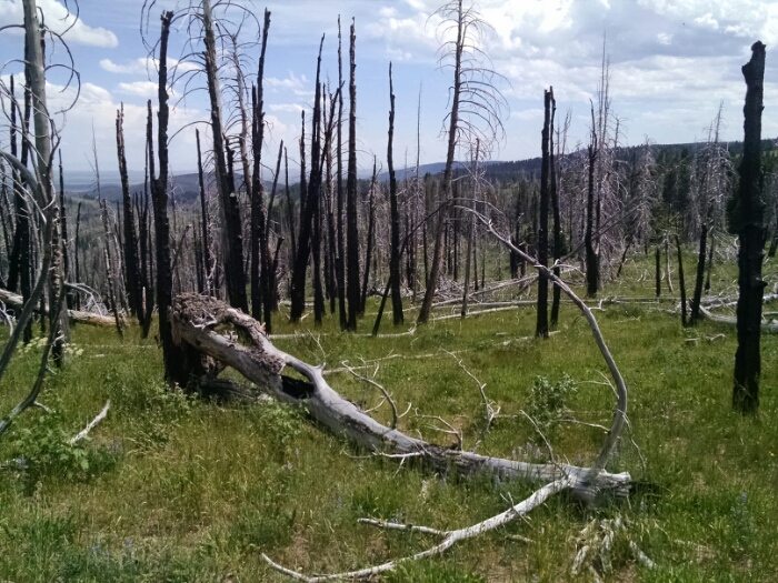
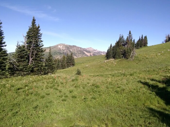
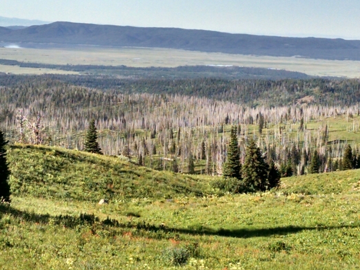
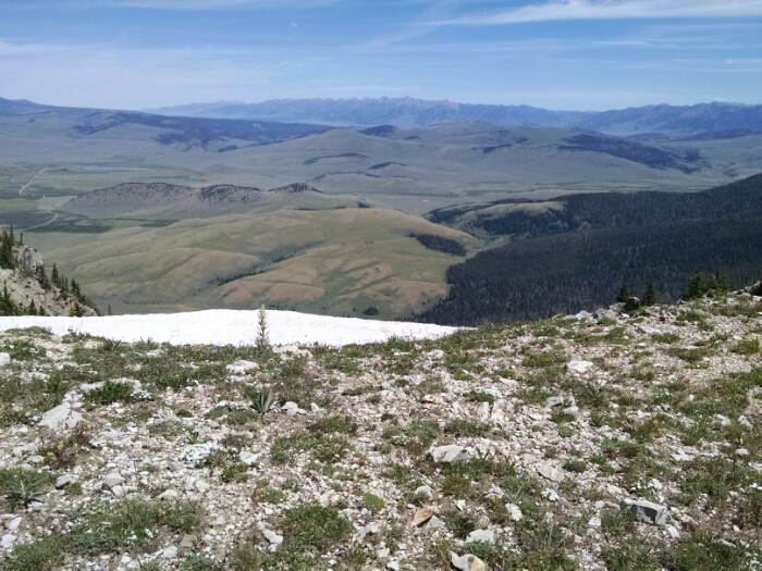
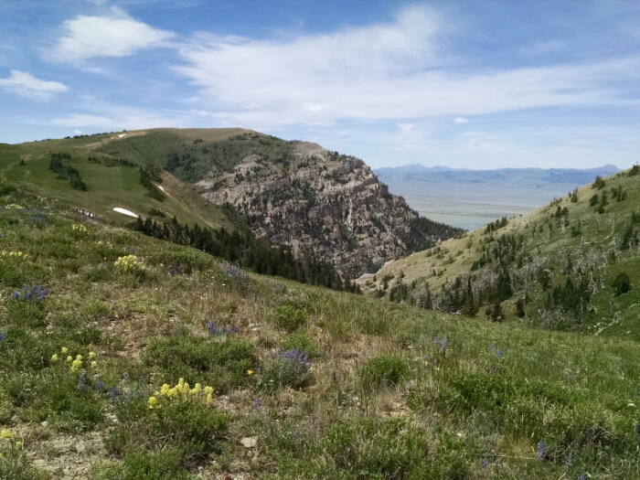
The trail heads westward all day long along the border between Idaho and Montana. The states use the actual Divide to determine their borders here.
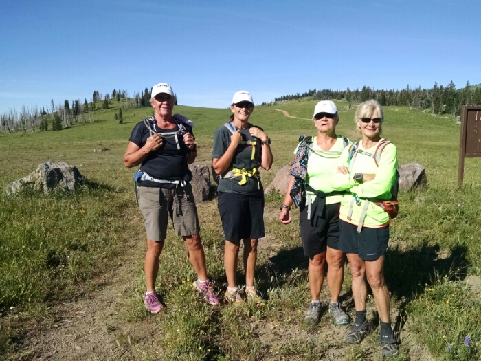
Four people out day-hiking were surprised to see me coming the other way.
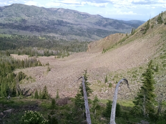
The trail climbs up high, near almost-10k-peaks, and I need to put back on gloves and windbreaker.
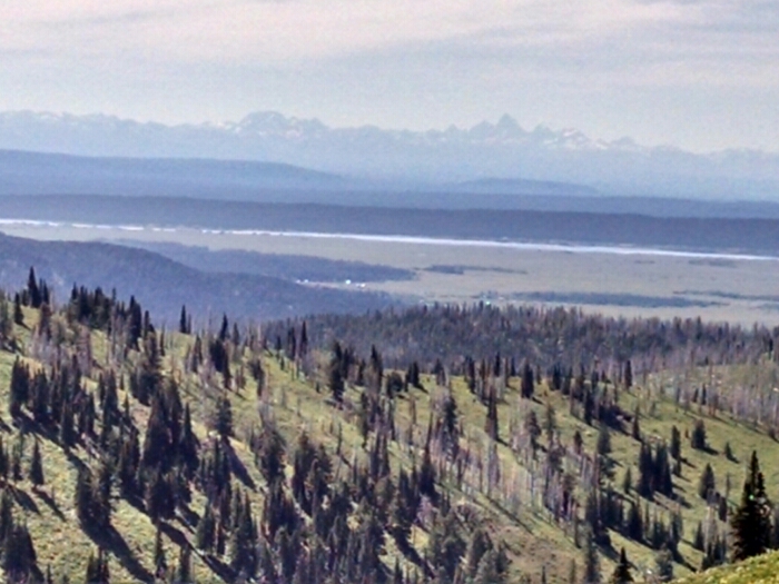
The trail merges onto an old road bed, wide and level, which follows along the top of a ridge for miles of great views.
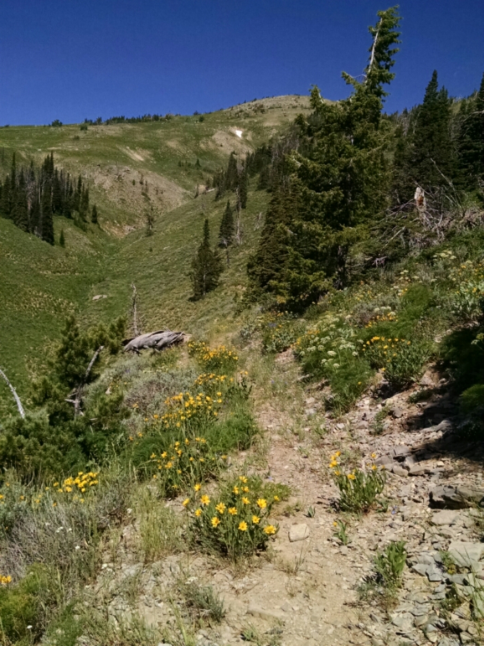
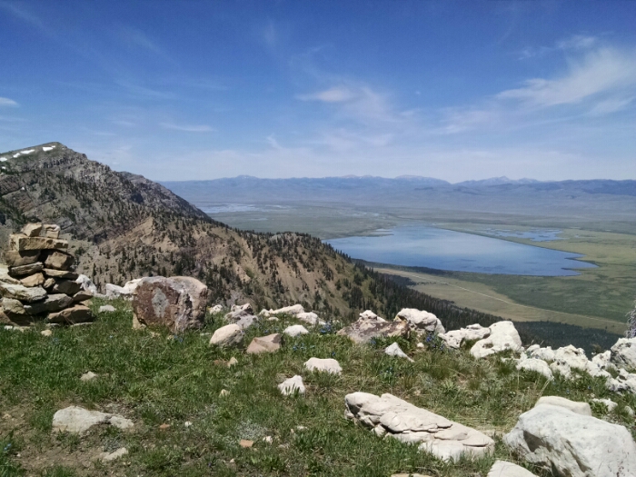
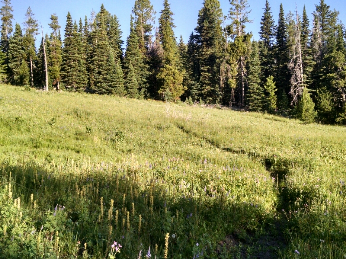
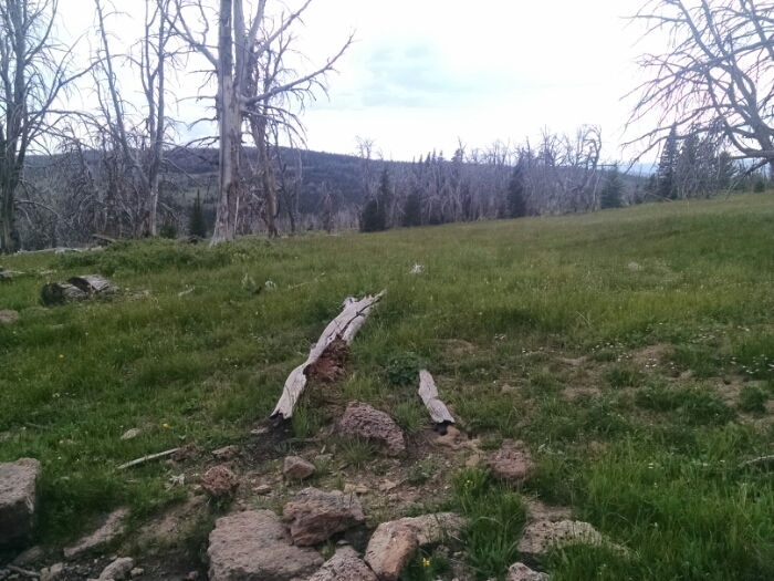
The trail turns south into lower grassy rolling hills, still marked on the map as Sheep Station.
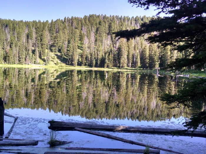
I make camp in a stand of trees. Skeeters lay siege to my tent.
[finished audiobook Dark Currents, book 2 in the Emperor’s Edge series, by Lindsay Buroker]