GET 2017 Day 9, March 26, Sunday.
Start at rim of Turkey Creek Canyon, near segment 6 alt mile 30.
End Blackrock Canyon trail, 3 miles from intersection with Holdout Canyon Trail
Miles walked: ???
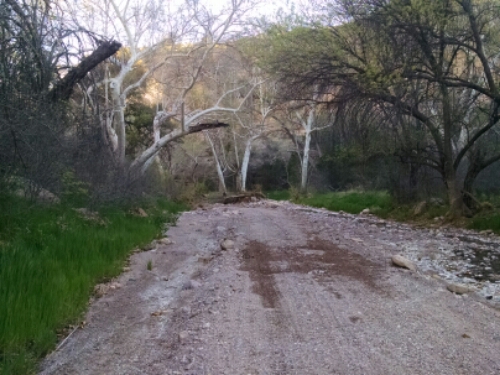
The trail descends down to the bottom of Turkey Creek Canyon.
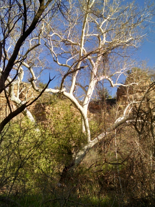
Trees with peeling bark that look like sycamores are at the bottom, growing where you would expect cottonwoods.
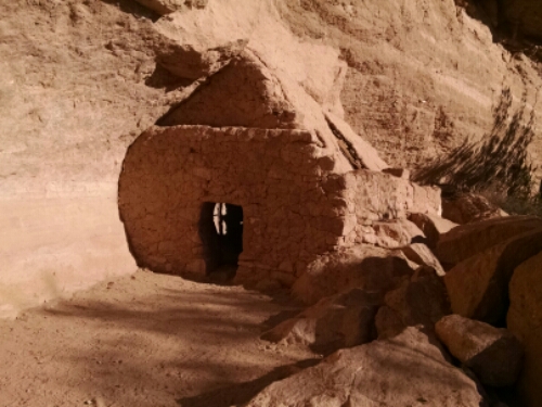
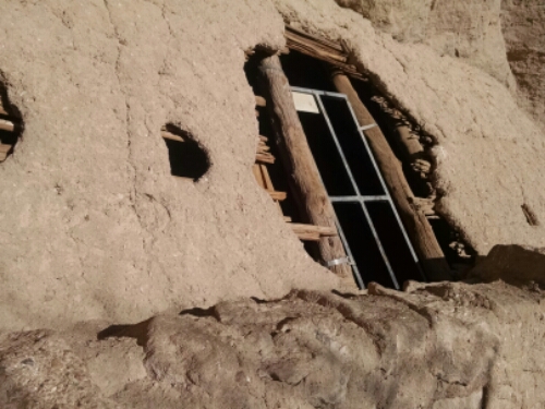
A mostly intact cliff dwelling is here.
Several groups of ATVs and 4WDs are camped in the canyon, and I chat with people that wonder what a hiker is doing here.
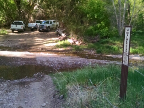
Turkey Creek Canyon joins up to Aravaipa Canyon, and I am allowed to walk this part out to the trailhead without a permit.
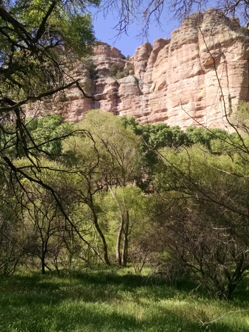
The mixing of light and shadow in a deep canyon makes photography a challenge.
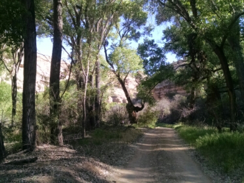
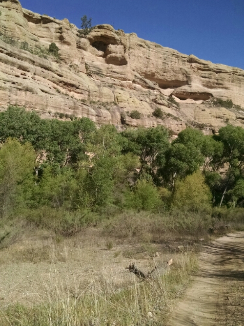
Mountain cottonwoods are here in Aravaipa. This view gives an idea how tall and vertical the canyon wall can be.
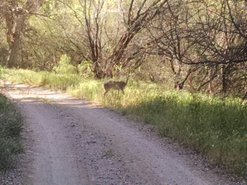
A deer grazes near the road.
Good-bye Aravaipa with one last image.
Heading up a rocky jeep trail toward rocky mountains, we leave cool canyon air and start some challenging trail.
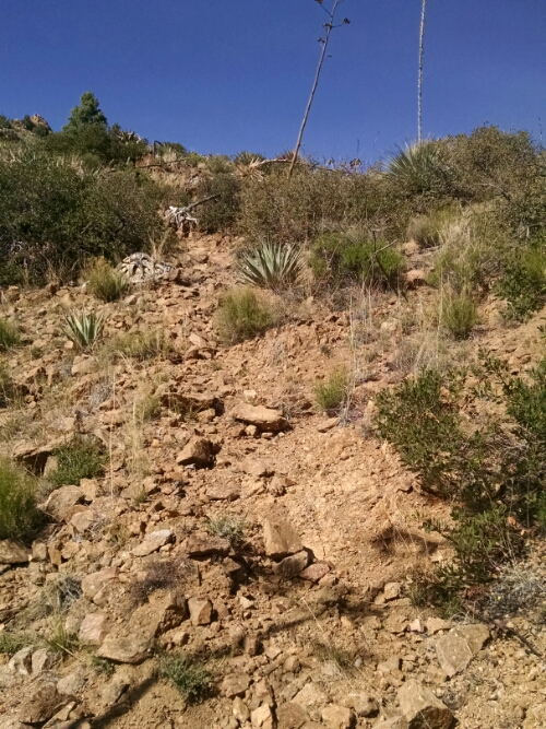
Well, I say trail, but trail all but fades away. A few cairns are visible, but I have a lot of trouble finding my way. With overgrown mesquite and yucca, it is impractical to go cross-country to the next GPS coordinate.
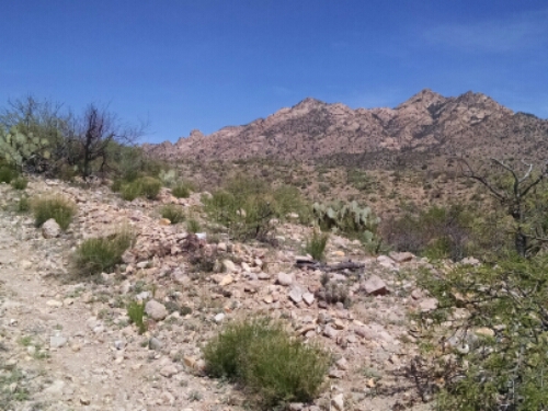
Since Holdout Tower is marked on the map as “vague”, I divert onto Blackrock Canyon jeep trail alternate, then have trouble navigating. I follow a creek drainage for several miles that will eventually join up with the main trail. Looking ahead at the map, tomorrow may be even harder to find my way.