- NNML 2026 Day 10, June 27, Saturday
- Start S3 mile 18
- End S3 mile 42 near ford of Rio Vallecitos
- Miles walked: 24
A morning cloud makes a last rumble of thunder. The day is cooler due to yesterday’s storm, and a breeze assists.
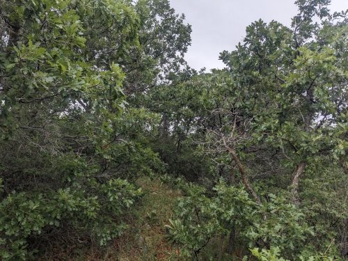
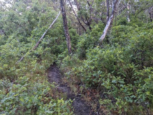
The route goes through a maze of Gambel oak in a squiggly line– apparently intended as a fun challenge for hikers.
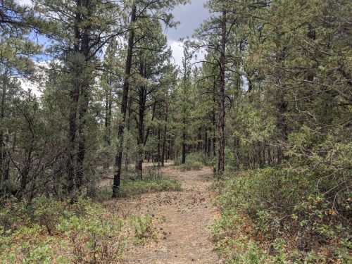
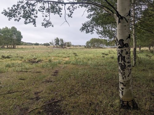
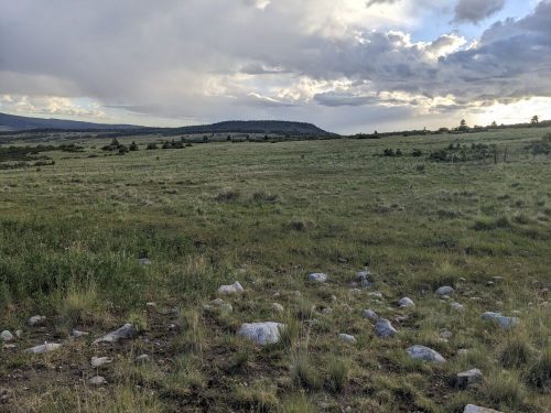
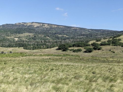
I do like the mixture of thick forests and wide open grassland.
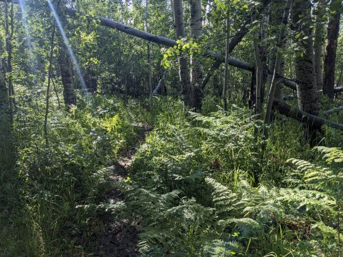
In another thick forest ferns make an appearance.
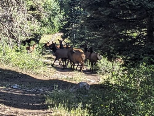
Along a ridge, I hear the whistling call of elk, and then spot a large herd. I am not used to them calling in daylight– something may have upset them.
I meet Lady Unicorn and Firecracker, heading to Ghost Ranch to end their trip.
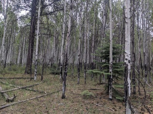
The white streaks of aspen stand out in forest views.
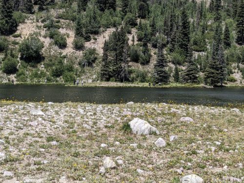
At Upper Canjilon Lake several people are fishing, and conifers reappear.
Aspens hide for the rest of the day, after Canjilon.
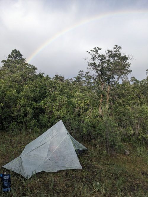
Eventually I cross Rio Vallecitos, and camp nearby to enjoy sound of the water.
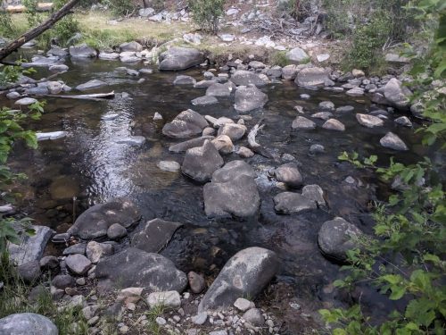
I did meet a CDT hiker with his dog at the river, but he moved on just as I got to the water, and we did not stop to chat.
Finished audiobook Nine Sci-fi Stories, by Poul Anderson.