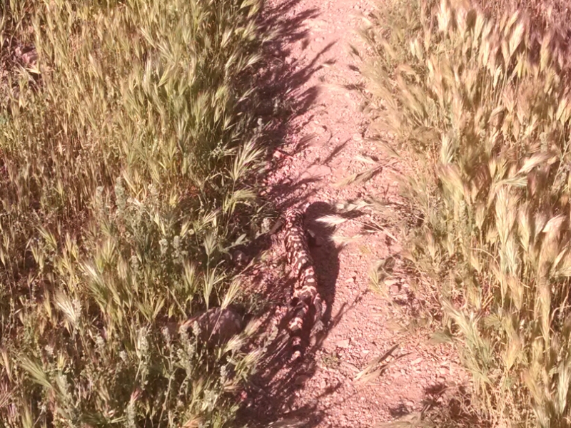
Mammoth

​GET 2017 Day 7, March 24, Friday.

Start Freeman Road Trailhead, segment 5 mile 0, then to mile 13.8 to segment 6 alt.

End town of Mammoth on Aravaipa bypass route segment 6 alt mile 9.5

Miles walked: 23.3

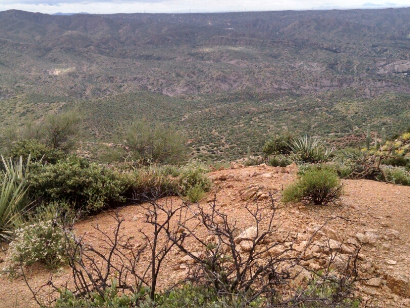
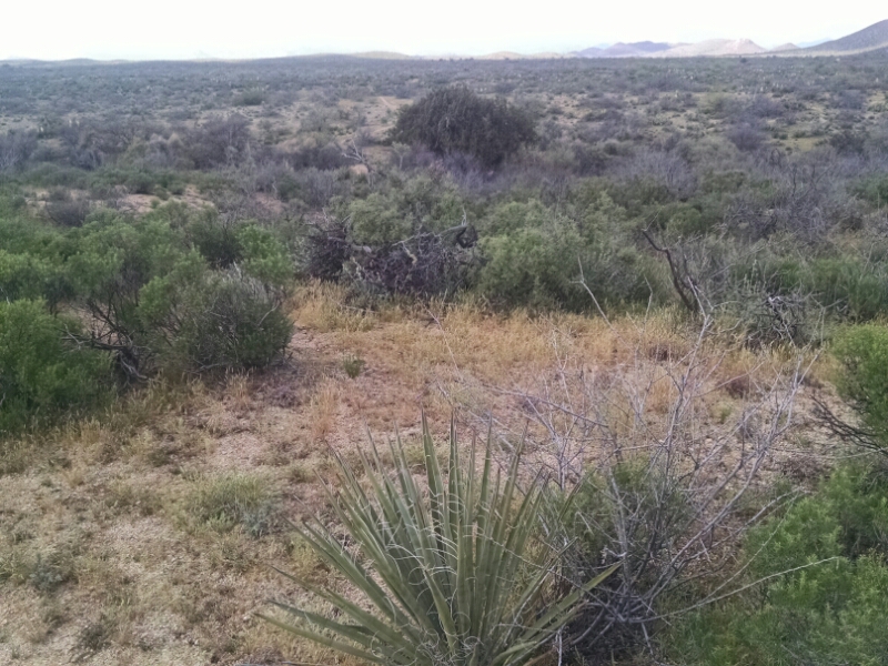
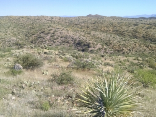
The path tends to be on top of long low ridges, dipping down to arroyos (washes here) and back up.

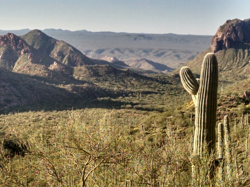
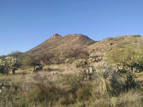
Saguaro is nearly gone, preferring steep rocky areas. Antelope Peak stands out taller than the surrounding rolling hills
Continue reading “Mammoth”

Rain Magic

​GET 2017 Day 6, March 23, Thursday.

Start just past village of Kelvin, segment 4 mile 1.5

End Freeman Road Trailhead, segment 4 mile 27.6

Miles walked: 26.1

Light rain started at 3AM, sometimes becoming heavy. Rain continued as I broke camp. Temperatures drop in a major way from the heat wave of the pash several days, and clouds suggest an all-day rain.

The trail ascends to a series of gravelly ridges with views.

Rains do finally subside, but clouds threaten most of the day, and brief showers mean putting back on the rain jacket.Later the land becomes low rolling hills with frequent washes

Continue reading “Rain Magic”

Gila

​GET 2017 Day 5, March 22, Wednesday.

Start near boundary of Tonto National Forest, segment 3 mile 11.7 of 30.8, off GET to follow new AZT trail alignment for a few miles.

End just past village of Kelvin, segment 4 mile 1.5

GET Trail miles walked: 20.6

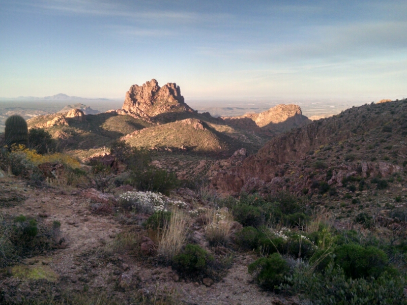
Going down Red Mountain in early morning, I head towards the Gila River.

While still high up, the river channel can be seen in the distance.

Another monster blocks the path, until the sound of trekking poles knocked together encourages it to leave.

Continue reading “Gila”