GET 2017 Day 7, March 24, Friday.
Start Freeman Road Trailhead, segment 5 mile 0, then to mile 13.8 to segment 6 alt.
End town of Mammoth on Aravaipa bypass route segment 6 alt mile 9.5
Miles walked: 23.3
The path tends to be on top of long low ridges, dipping down to arroyos (washes here) and back up.
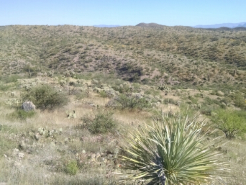
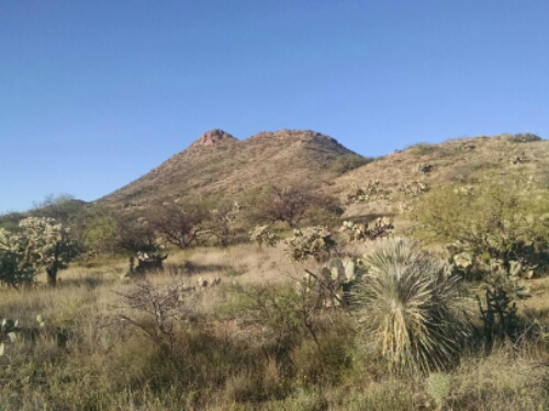
Saguaro is nearly gone, preferring steep rocky areas. Antelope Peak stands out taller than the surrounding rolling hills
At mid-morning the GET splits off from the AZT and continues eastward in Putnam Wash, which grows wide. Water is running, possibly from Putnam Spring, and eventually goes underground.
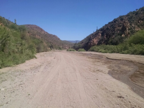
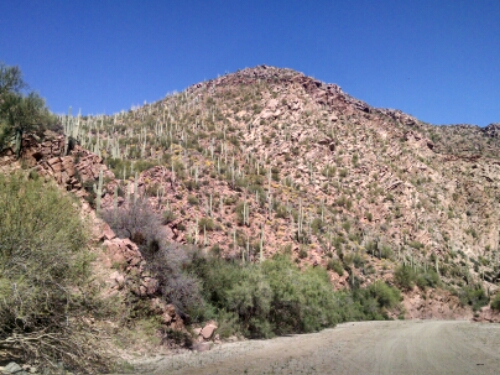
The wash sides are steep, and saguaro return.
The wash goes all the way to the San Pedro River, a wide deep dry riverbed. The main GET crosses and heads east to Aravaipa Canyon, but you need a permit to hike there, restricted to 30 people a day. The canyon has become popular, and spots are snapped up instantly online.
So I have to take the Aravaipa bypass route, walking 9 miles south to the town of Mammoth along the western bank of the San Pedro River channel on a dirt road, hot with no available shade. I did not take photos to help forget that walk.
Violet gives me a room at the Lodge, the only motel in town. She does hiker laundry for a small charge, and offers to contact a friend at the BLM to try and get me a permit for Aravaipa, but no joy.
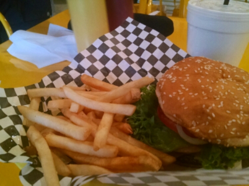
Shower, laundry, snacks, … what else? Oh yeah, a burger.