MRT/GET 2021 Day 31, May 5, Wednesday • Start 28050 on Shipman Trail • End 28280 Red Canyon, beyond Apache Kid Wilderness • Miles walked: 18.3
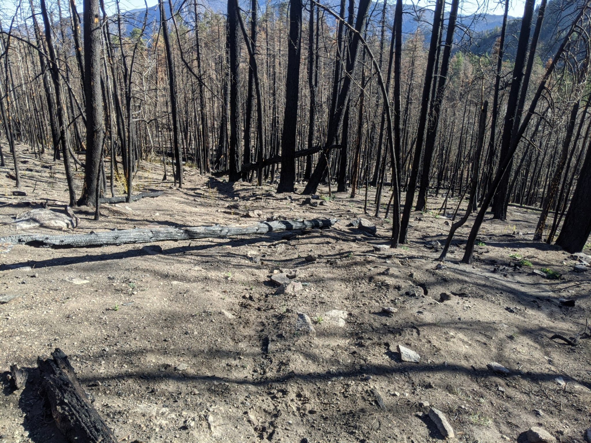
Shipman Trail continues to climb, past Myers Spring, crossing talus, past the ridge and the Myers cabin ruin as the trail enters a mild burn area, and down to Nave Spring. All the time I am taking notes for a future trail project, noting a possible group campsite, counting blowdowns (80), and so forth.
MRT/GET 2021 Day 29, May 3, Monday • Start 26050 on ridge • End “seg27 detour water’, new bypass for Monticello Box • Miles walked: 25.9
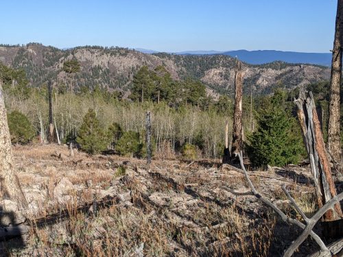
Continuing with the CDT heading north along a fence line on a sort of ridge on trail or two-track, through mixed conifer and bunch grass, one can see low grassland to east and west, like our section of forest a few miles wide was running out.
By late morning the CDT departs north, and several miles will turn westward to join with the Gila Alternate south of Pie Town. The GET goes east along a fence line steeply downhill on Duck Canyon Trail, to a very different ecozone, departing the Gila National Forest.
MRT/GET 2021 Day 28, May 2, Sunday • Start 24060 north of Diamond Peak • End 26050 on ridge • Miles walked: 25.3
On the CDT in New Mexico, there are twe alternate paths, that split off just after Silver City. The “official” trail, which we are on now, goes along tho Black Range, and is higher altitude, has fewer water sources, and goes further eastward before heading west to join up with the alternate. The Gila River alternate goes through the Middle Fork of the Gila River, has an extra resupply point at Doc Campbell’s, and is vastly more popular among hikers, but is not the official route, because of the rare but non-zero chance of flooding. So when the GET briefly joined the CDT on the Middle Fork a few days ago we were on the alternate, but today we are on the official route. A few days ago we met several hikers at Doc’s, with tales of 30 coming through in one day. Today I see no one, and rarely even see footprints.
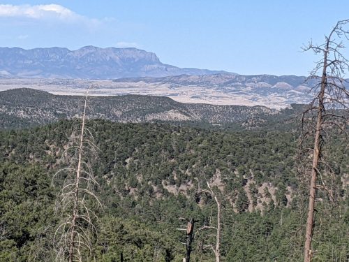
Down from Diamond Peak, the route stays along a ridge, gradually descending, with views.