CDT Montana 2016
Day 37, August 11, Thursday
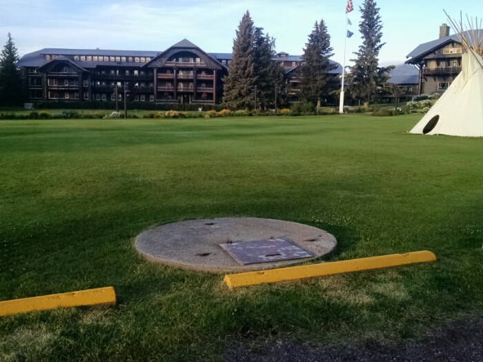
Start near Glacier Park border at town of East Glacier, Brownies Hostel
Stop Brownies Hostel
Trail miles walked: ZERO
The main task today is to take a shuttle to the ranger station at Two Medicine, one “town” over, and get a backcountry permit.
The shuttle leaves at the lodge.
I decide to take the earliest shuttle at 8:15AM. The shuttle web site said one could not make a reservation less than 24 hours ahead, but the front office staff at the lodge got me signed up, no problem. The driver said I could take an earlier return shuttle as a walk-on if I ready early.
While waiting for the shuttle, the lodge has an all-you-can-eat (AYCE) breakfast buffet at very reasonable price, perfect for hikers. Continue reading “East Glacier Zero”