My shoes and socks are dry after hanging up all night in the cool dry breeze. That is a big morale boost, the chance to walk at least half a day with dry feet is a fine prospect.
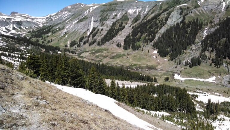
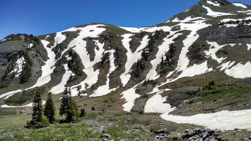
After breaking camp I cross over the valley and start climbing the facing slope. There is not nearly as much snow on this side. Looking over to the other side where I hiked yesterday, one can see how often snow crossings were encountered.
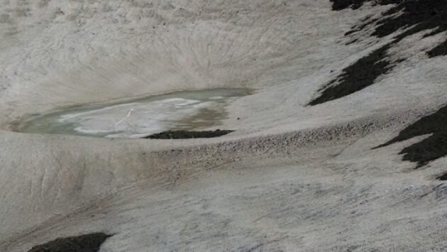
So the direction the slope faces predicts how hard my hike will be, and I can use that to predict progress. At the top of the ridge a few steep snow fields are icy in the morning, so my traction devices {Yak Trax} are used for the first time, these will not help in soft snow, so will be used in early mornings or highest altitudes, when the snow has a hard icy surface.
The trail crosses over the ridge to a slope facing the direction for frequent snow fields. It helps to step in the tracks of the hiker ahead of me, probably Brandon. At one point the tracks disappear from the trail. The earlier hiker must have realized it was impractical to do so many snow crossings, and went cross country down to lower elevation where there is less snow. I do the same, and trade snow for frequent swampy areas and thick brush.
The trail crosses over to another slope, also facing the wrong way. Here one can go off-trail in places to avoid snow, or at least cross snow where it is level and not steep.
Not much mileage today for a lot of effort.
Day 3 6/20/2014 Friday
Start Middle Fork Conejos River mile 813, elevation 11338
End San Juan Wilderness boundary, mile 827, elevation 12482


