Water bottles froze overnight. A headache and nausea in middle of night were gone by morning. Does this have anything to do with the high altitude?
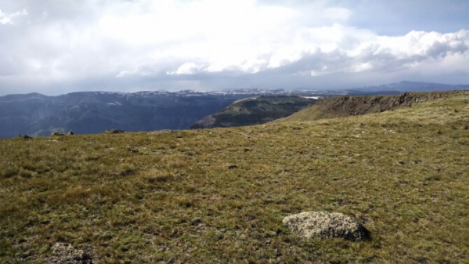
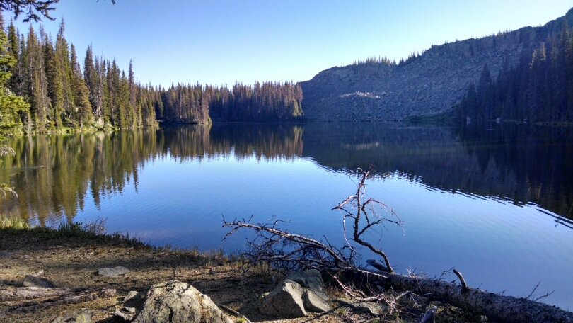
Climbed down to Dipping Lakes
Then switch-backs on scree and follow cairns to Trail Lake and a pass.
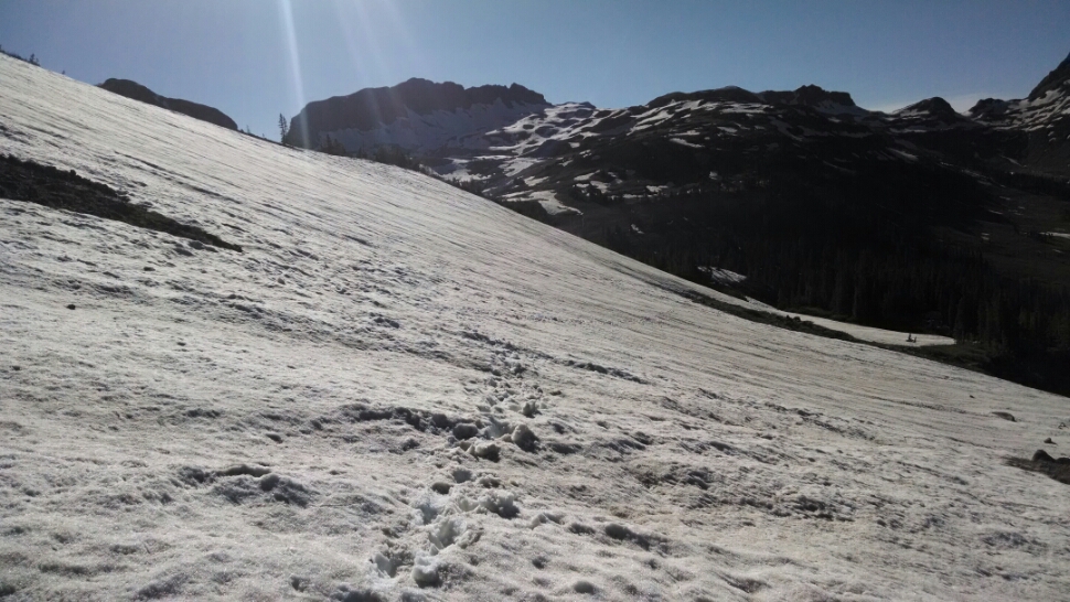
The trail has a few patches of snow, from ten to fifty feet across, with hard crust in the morning that supports my weight. Also, snow melt has convert a few stretches of pathway to creeks, often with swampy areas on both sides of the trail, tricky to step around.
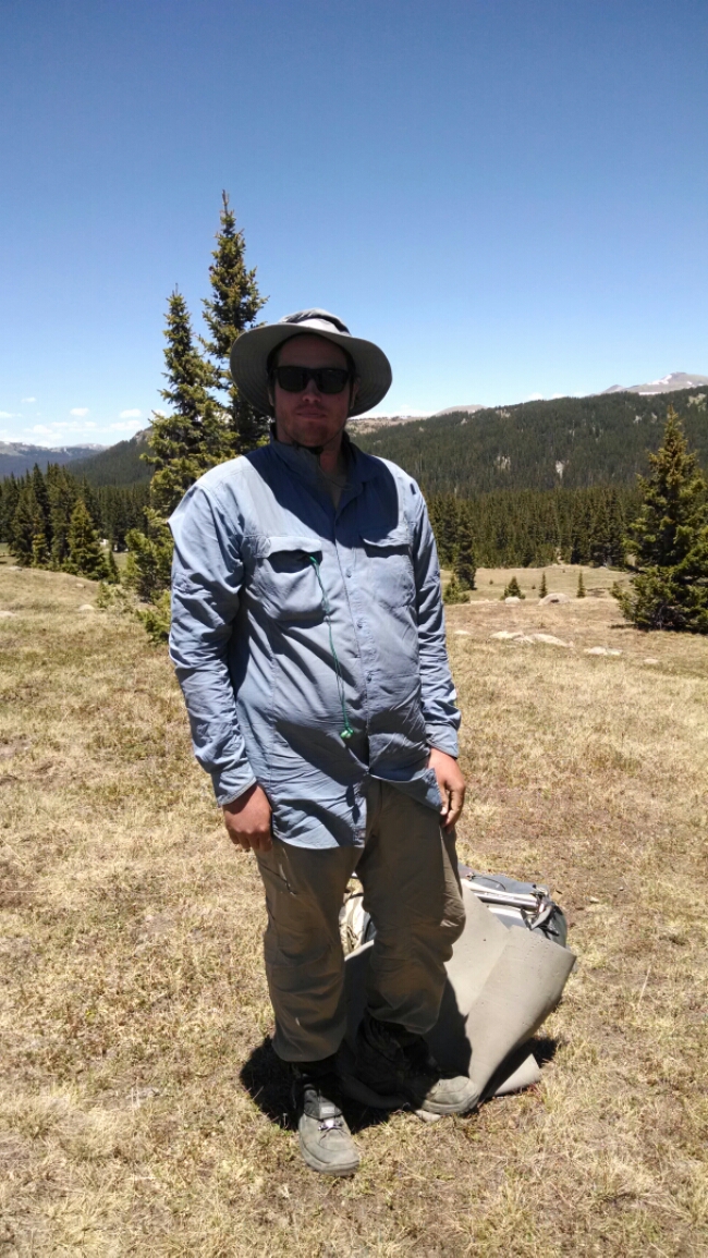
In early afternoon I met Brandon, a thru-hiker who completed NM but is finding Colorado a challenge. He has family in Colorado, so will not stop at Pagosa Springs.
We hike together for a while, until I have to stop for water and deal with an equipment issue. We encounter larger areas of snow and swamp, and the snow is softer, so post-holing is common. {Post-holing means your foot breaks through the surface crust of snow and you sink up to your thigh.)
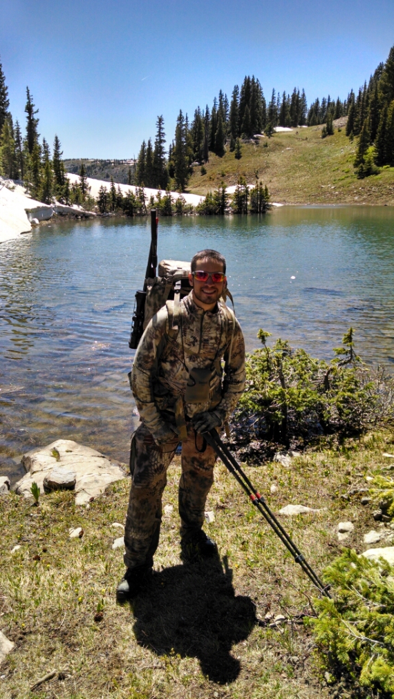
At Blue Lake I meet Dan, out for a week, near the end of his hike, going to try fishing in the lake.
After Blue Lake the snow crossings and swamp areas become frequent, and my shoes are no longer dry. Then several long snow traverses, hundreds of feet across,on very steep slope. I use Brandon’s footprints as a guide on the best route to take. The snow is soft late in the day so traction is good– would be tricky on icy surface.
Wet shoes are likely for several days.
Day 2, 6/19/2014
Start Three Lakes mile 793., altitude 11786
End Middle Fork Conejos River, mile 813, altitude 11338
