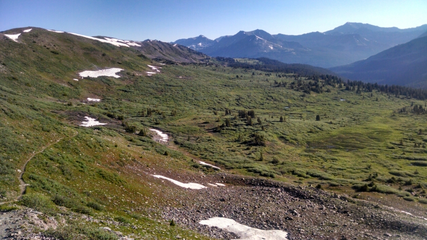
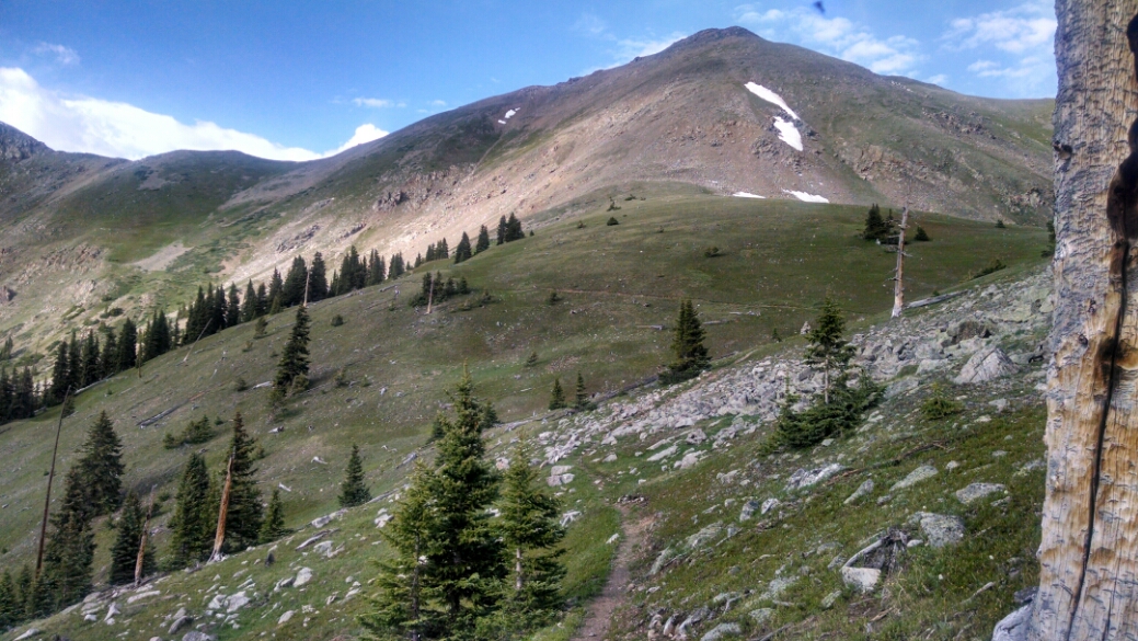
After a little more hiking along crest and ridge, the path descends to Cottonwood Pass, and goes down a bowl-shaped valley.
Then even further down, down to Texas Creek at elevation 10635, compared to 12000s where we started the morning.
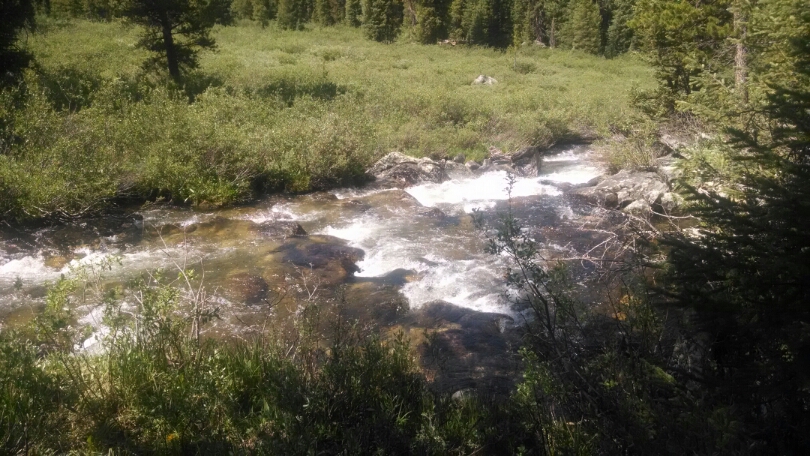
I found a place to cross, but the log was wet and slippery toward the end– two wet feet.
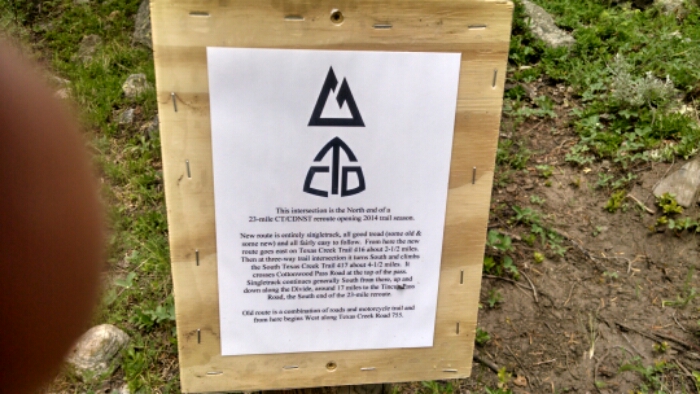
We rejoin with the old section of trail.
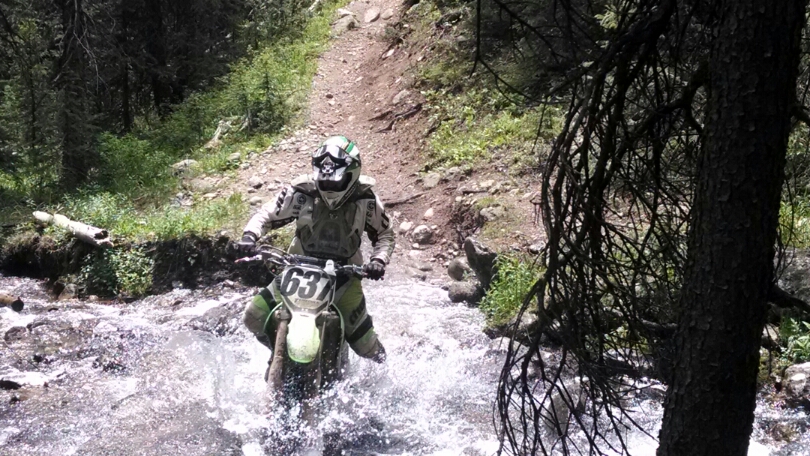
At another water crossing, I am still figuring how to proceed, when three motorbikes show how it is done.
The trail named Timberline Trail has lots of timber in my line of sight, so no photos. Then the trail climbs, up above tree line, up, up, a 1500 foot climb.
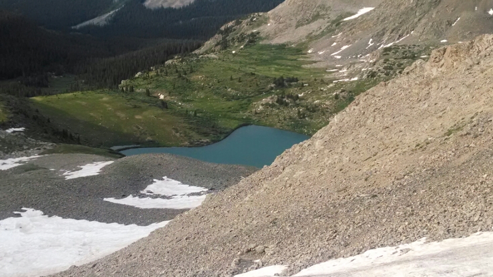
And down the other side again toward Lake Ann and nearby waterfall, crossing snow fields and a boulder field on the way down.
The rain starts as the trail gets closer to the lake, so no risking the camera, so too bad no better photos.
Finally, late in the day, I hike down below the lake and into tree cover, and set up camp for a deserved rest.
Day 20, 7/7/2014, Monday
Start 21-145M mile ???, elevation 12165
End 22-175WT, down from Lake Ann, mile ???, elevation 11808
