- CT Day 7, July 6, Thursday
- Start: S8 mile 7.0, CT mile 124.2
- End: S9 mile 4.9, CT mile 147.5
- Miles walked: 23.3
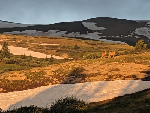
Above treeline in the early morning, a herd of elk regards me with caution.
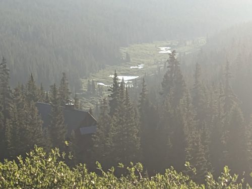
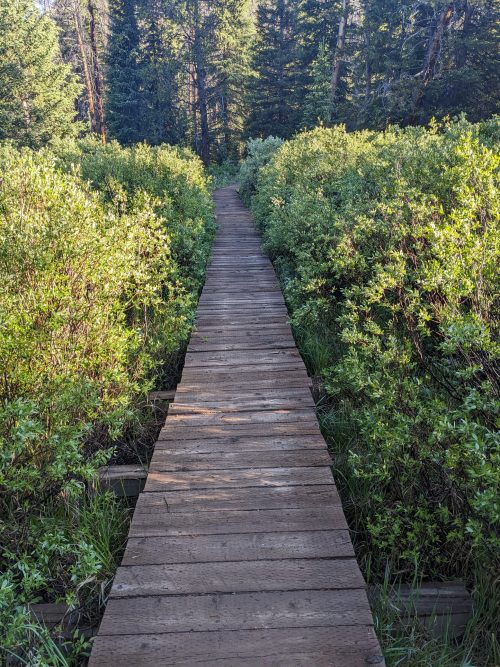
Looking back at the river valley we climbed out of, a string of beaver ponds glint in the sun.