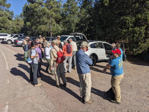
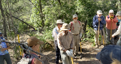
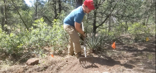
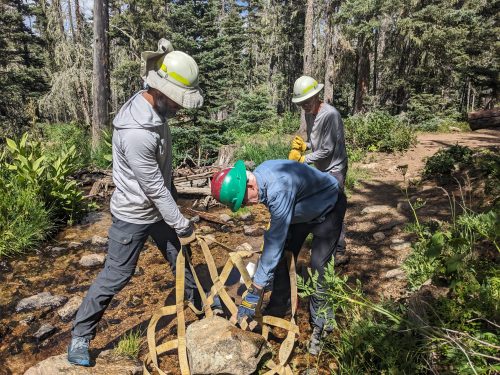
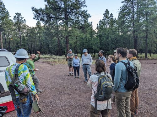
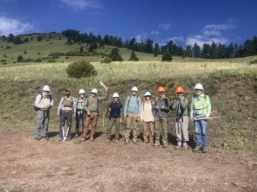
Volunteers with Socorro Trails / NMT Bike Club lopped brush along North Baldy Trail, after being shuttled from Hop Canyon Trailhead to the south end of the trail up the rather exciting Water Canyon Rd / FR235.
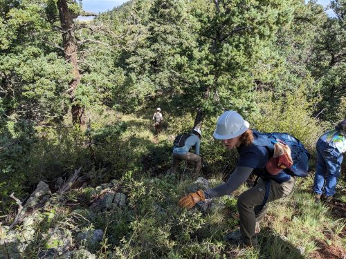
We worked along the trail all day, lopping Gambel oak and “catsclaw”, and eventually descended on Hop Canyon #25A, an 8 mile trip.
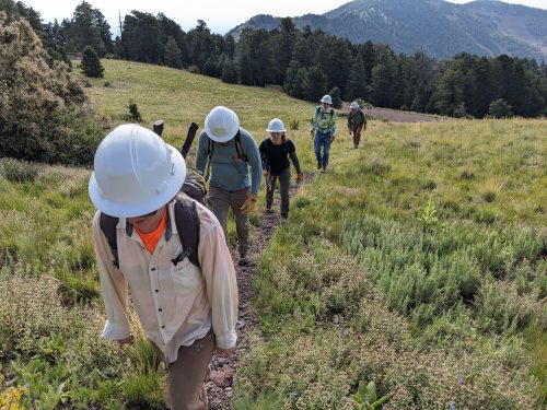
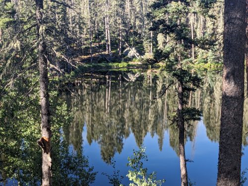
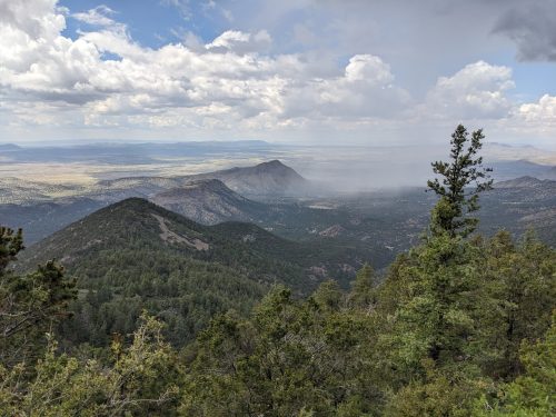
North Baldy Trail follows along a high ridge, and we were treated to excellent views on both sides.
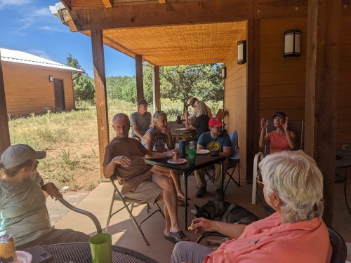
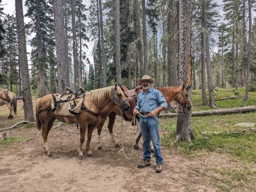
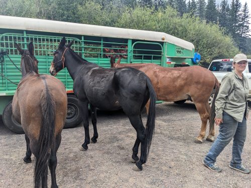
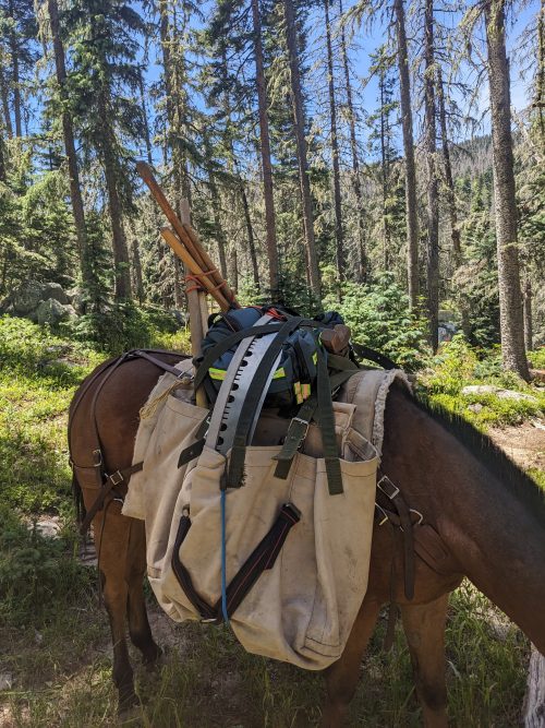
Heart-felt thanks to all the volunteers who came out to help.