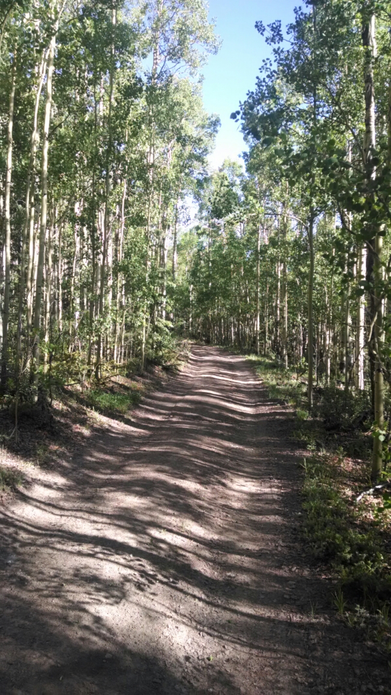
(I am hiking the Continental Divide Trail south to north in sections, one state each year.)
(In New Mexico I tended to take popular scenic “alternate” routes, not the “official” route. Hike your own hike.)
(PDF download of trip journal)
April 4
The bus leaves Albuquerque at 4:30AM to arrive in Deming at 9:15AM, with a transfer at Las Cruces. I live about thirty minutes from the bus station, but do not want my family to wake up that early, so I accept a car ride at 10PM the night before my bus departure, and spend a few hours in the station waiting.
Albuquerque bus station
April 5
Greyhound’s bus finally pulls into Deming at 9:30AM, and Sam Hughes is waiting for me. We swing by his place in the tiny village of Hachita to pick up water that we will leave in one of the caches he tends. We also drop off his dog, who doesn’t appreciate the bone-rattling trip to the trailhead.
Sam’s dog
Shortly after turning onto the dirt road we pass a Jeep going the other way driven by a young woman. Later we meet a border patrol agent who says she dropped off a guy at Crazy Cook and will wait for him in Lordsburg. Perhaps I will meet someone on this section of trail.
Sam Hughes leaves water at first cache
Do not attempt this road without high clearance four wheel drive and off-road tires, and even then take it slow.
We arrive at the trailhead shortly before 1:00PM, and Sam shows me the monument that has been knocked down. In the heat of the day is not an ideal time to depart, but I have been practicing noon hiking with long sleeve pants and shirt to protect me from the sun. Sam has dropped off six hikers before me, with seventeen scheduled for later this month. Typically they arrive the night before and sleep in his yard, to get an early start. Oh… I did not know that.
We say goodbyes and I hit trail at one. Flat desert hike with reasonably good signage. First water cache is 14 miles, which I might not make today. I have 5 liters, enough for this stretch.
Out of Crazy Cook is an actual path, but later one must rely on trail signs, and not trust paths that might have been caused by cattle.
First trail sign, and visible path just out of Crazy Cook
The desert plants in this section are creosotebush with some yucca, and later ocotillo. I pass near an old broken windmill with adobe building tucked out of sight, and go over to investigate. Later a Border Patrol truck pulls up after I have gone on and I give them a wave: I must have tripped a sensor which they were required to check out.
Old adobe hidden near broken windmill
In time the trail goes up a small canyon and then back down along an arroyo. I am within a couple of miles of the water box but it will be dark soon enough and I make camp. Good first day.
Near first day’s campsite