GET 2017 Day 18, May 13, Saturday.
Start near Curve Spring, Segment 14 mile 17.6 of 23.9 on Painted Bluff Trail
End forest road 475 Segment 16 mile 1.6, after 11.7 miles on Segment 15
Miles walked: 19.6
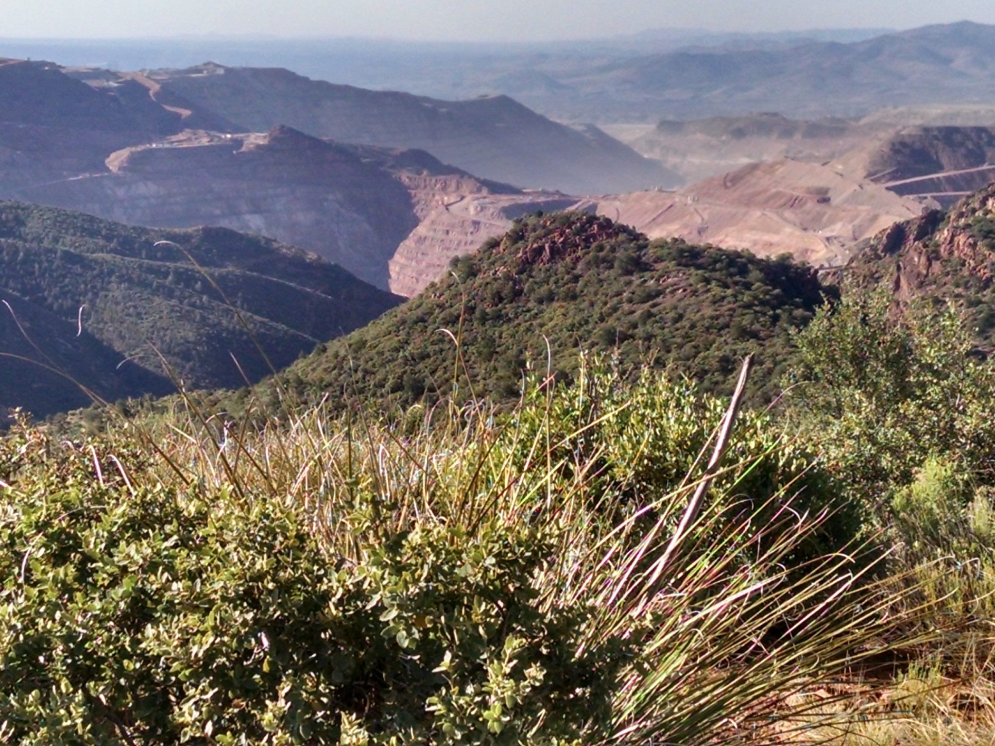
Can hear Morenci Mine earthmovers while walking the ridge for a view.
Got food cache, which was an ammo box container buried at the picnic grounds next to Granville Campground.
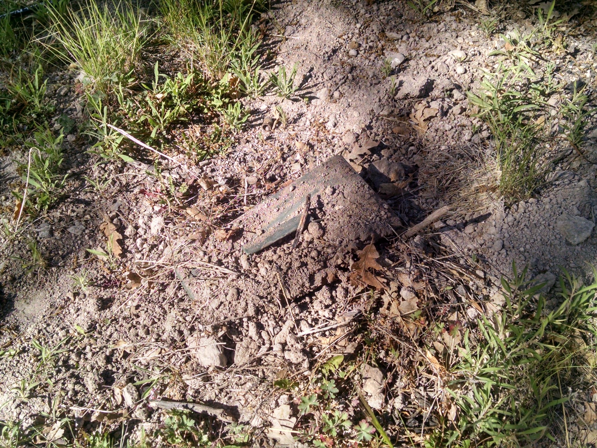
The cache allowed me to skip hitchhiking to Morenci. The highway through town, US191, is gnarly and exceptionally twisty, however, so if you get a chance to explore the area be sure to do so.
Spent a couple of hours at a shady picnic table doing repairs like a regular town stop, mostly sewing jobs. Those thorny plants are hard on clothes.
The trails followed today seem built with a wider corridor of cleared vegetation, so they are easier to push through in places where they do get overgrown. Also, the altitude is high enough, or some other factor might be involved, where almost no mesquite is present today, and that was a particularly opportunistic thorny hazard that likes to lean into the space over trails. The wider corridor also made the pathway easier to find in places that got overgrown with shrubs.
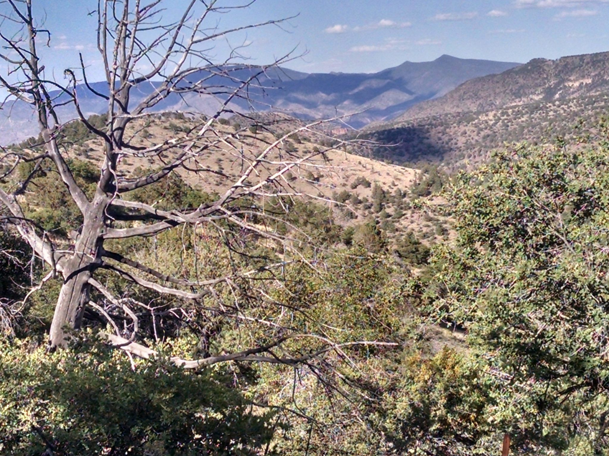
Granville Trail 572. Views, but a hazy day
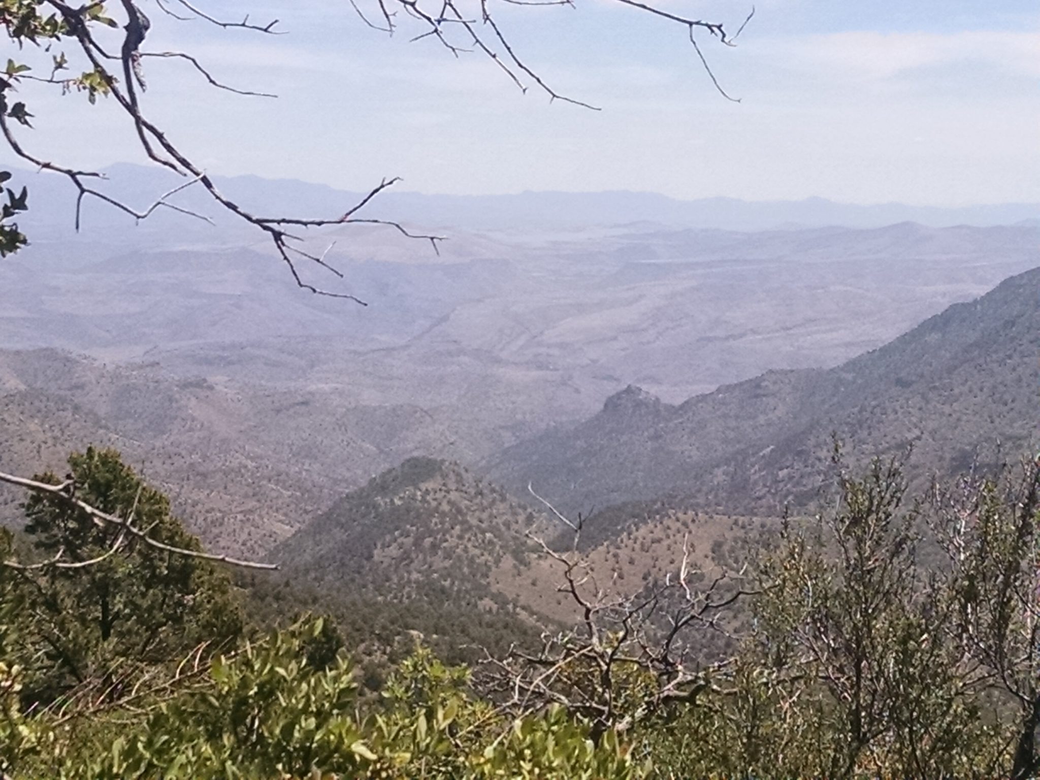
HC Canyon Trail 11 seems mainly a “connector trail” with few views, except purple bluffs near the end of the part I hiked.
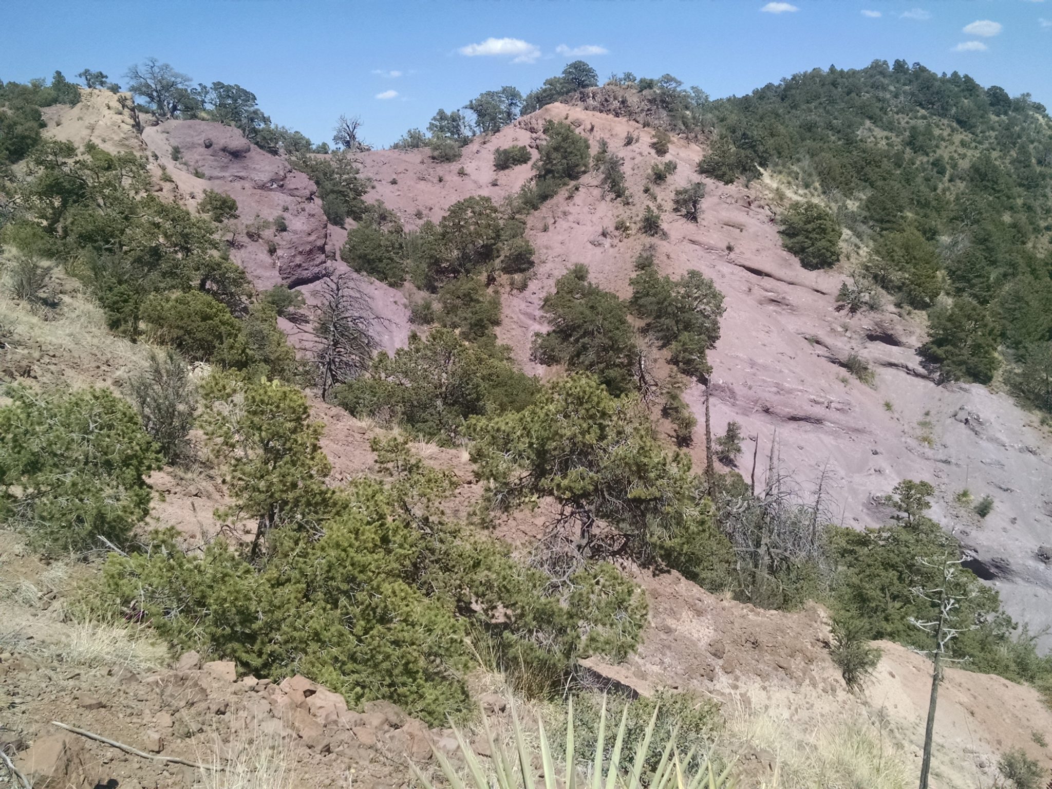
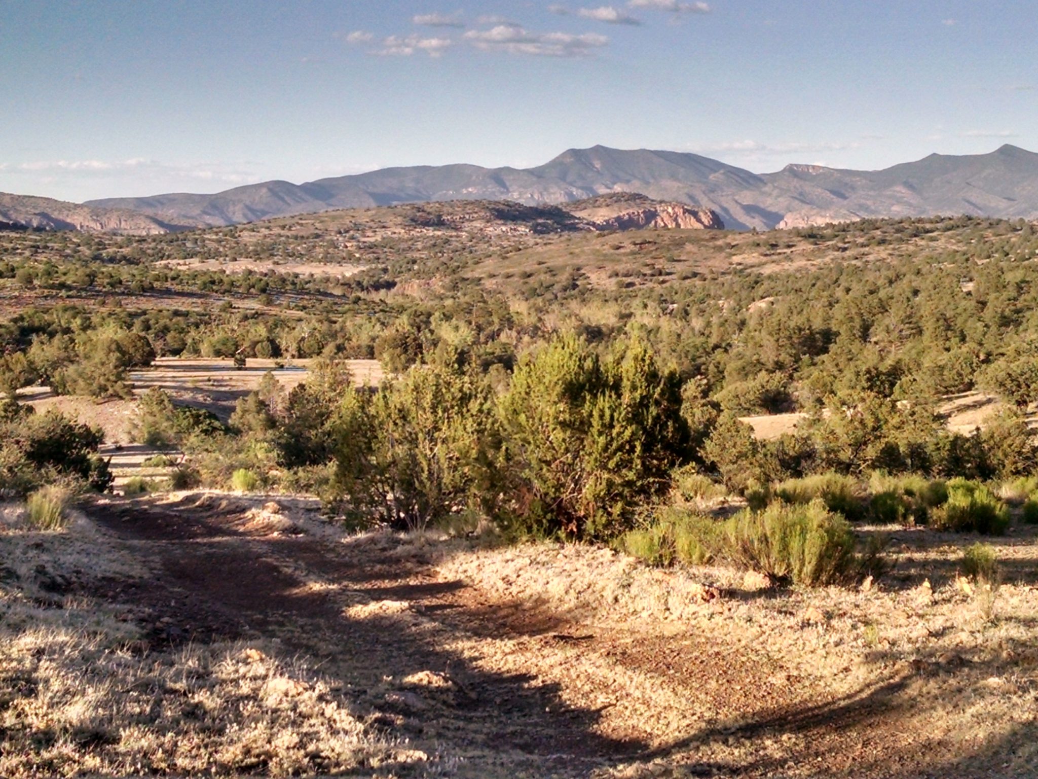
Departing pathway the GET goes along a low ridge following a game trail. Rock formations in the distance hint at what might be coming ahead.
FR475 road walk to finish the day with a good fast stride.
Not feeling well. Stomach cramps. Digestive tract issue? Cannot eat. Someone who hikes all day should not miss dinner.