HDT 2022 Day 11, April 11, Monday
Start S5 mile 8, on approach to Mount Ellen
End S5 mile 24.1, along road just beyond Sweetwater Canyon
Miles walked: 16.1
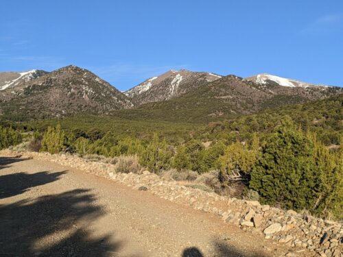
Continuing along dirt road, the mountain looms.
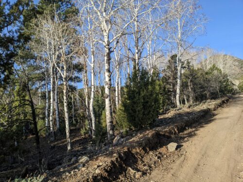
We are getting high enough now to start seeing aspens and ponderosa pines.
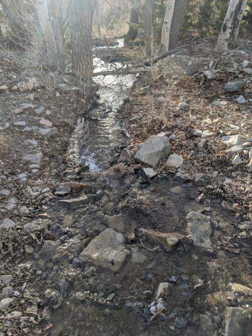
Crescent Creek is a cold mountain creek, very unlike the canyon water we have been experiencing. This is the only creek on the way to the top, but there are some seasonal snow-melt water.
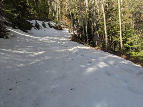
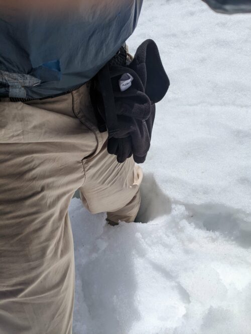
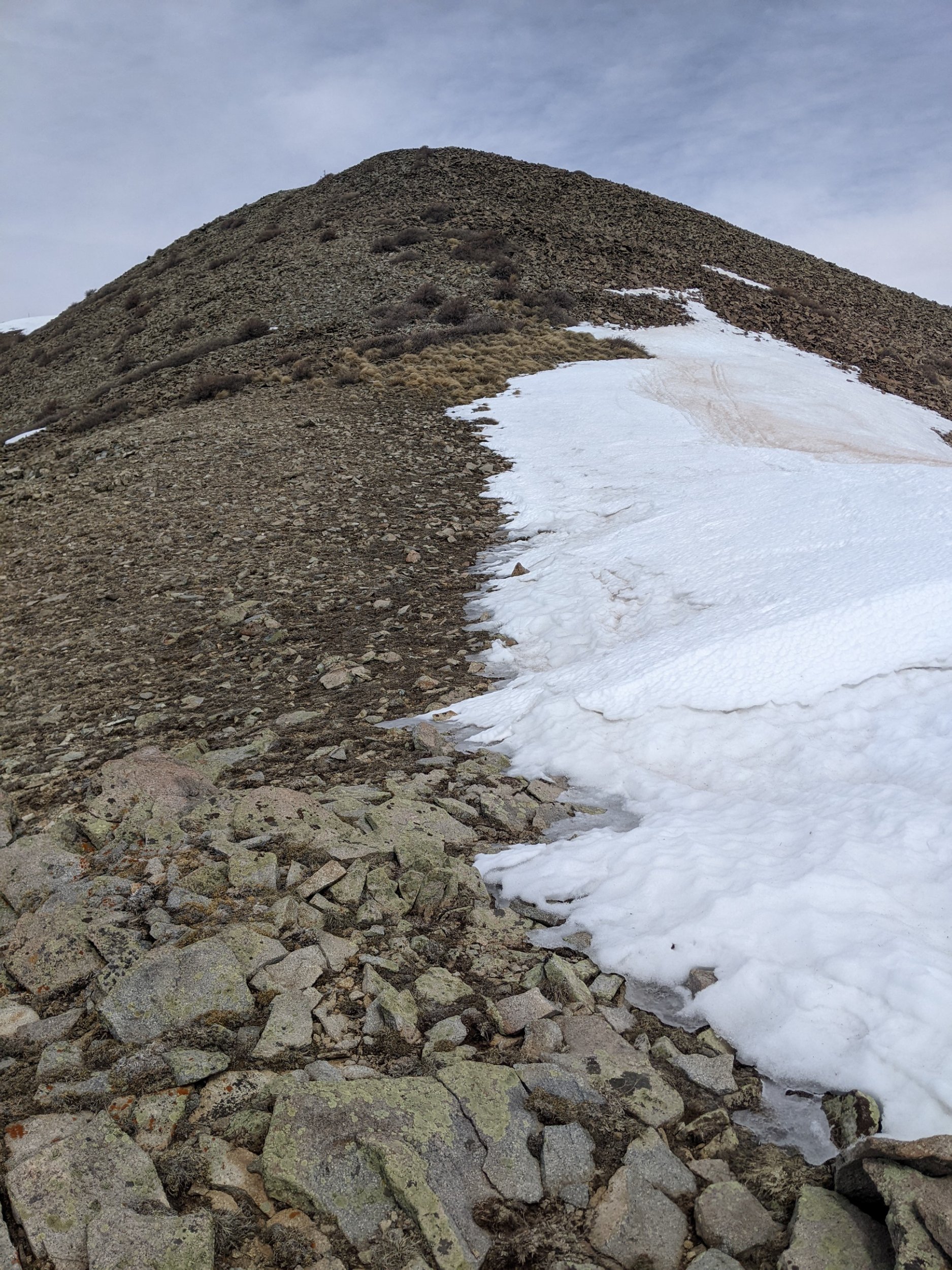
The road starts to get long patches of snow. Early in the day the snow is cold, and my steps do not break through the crust. Later, there is major postholing, which means your foot suddenly breaks through the surface crust, and your leg sinks down with snow up to the hip. If only I hiked later yesterday and hiked faster today, I might have avoided postholing on the way up, and would only have to deal with it on the way down, when the sun tends to warm the snow and softens the crust.
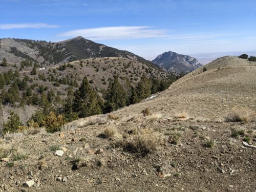
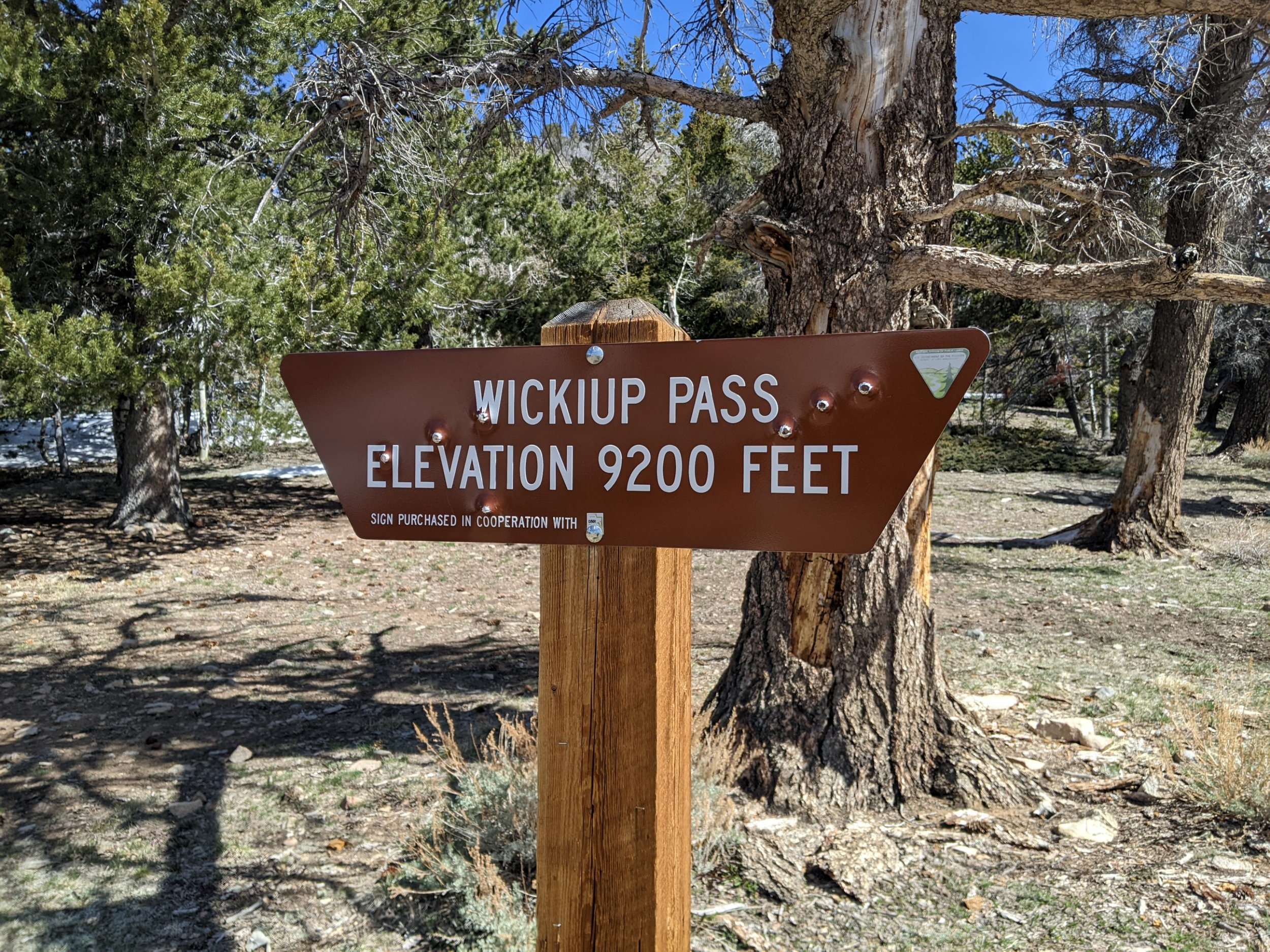
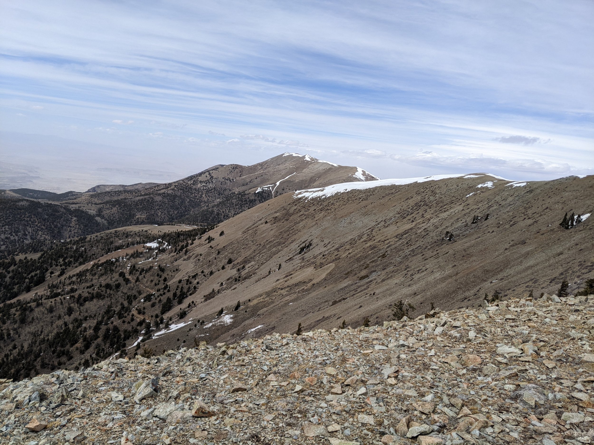
Climbing higher, we pass Granite Ridges, and then get to Wikiup Pass.
After struggles with postholing, hoping the high elevation would be so cold as to reduce the effect, I get to the summit, 11,419 feet. The wind is so incredibly fierce and buffeting that I cannot remain long, and can barely get some photos and take in the views.
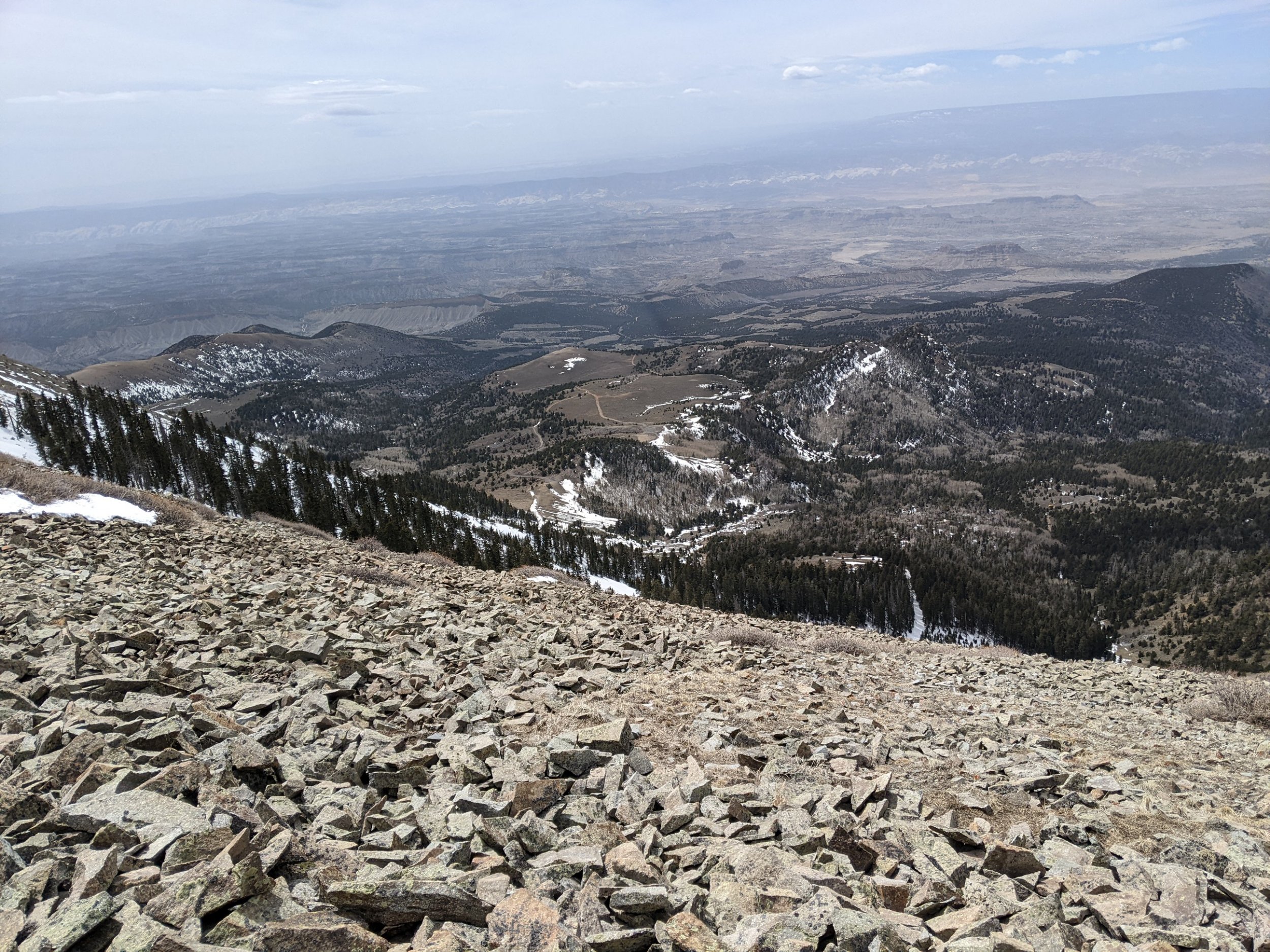
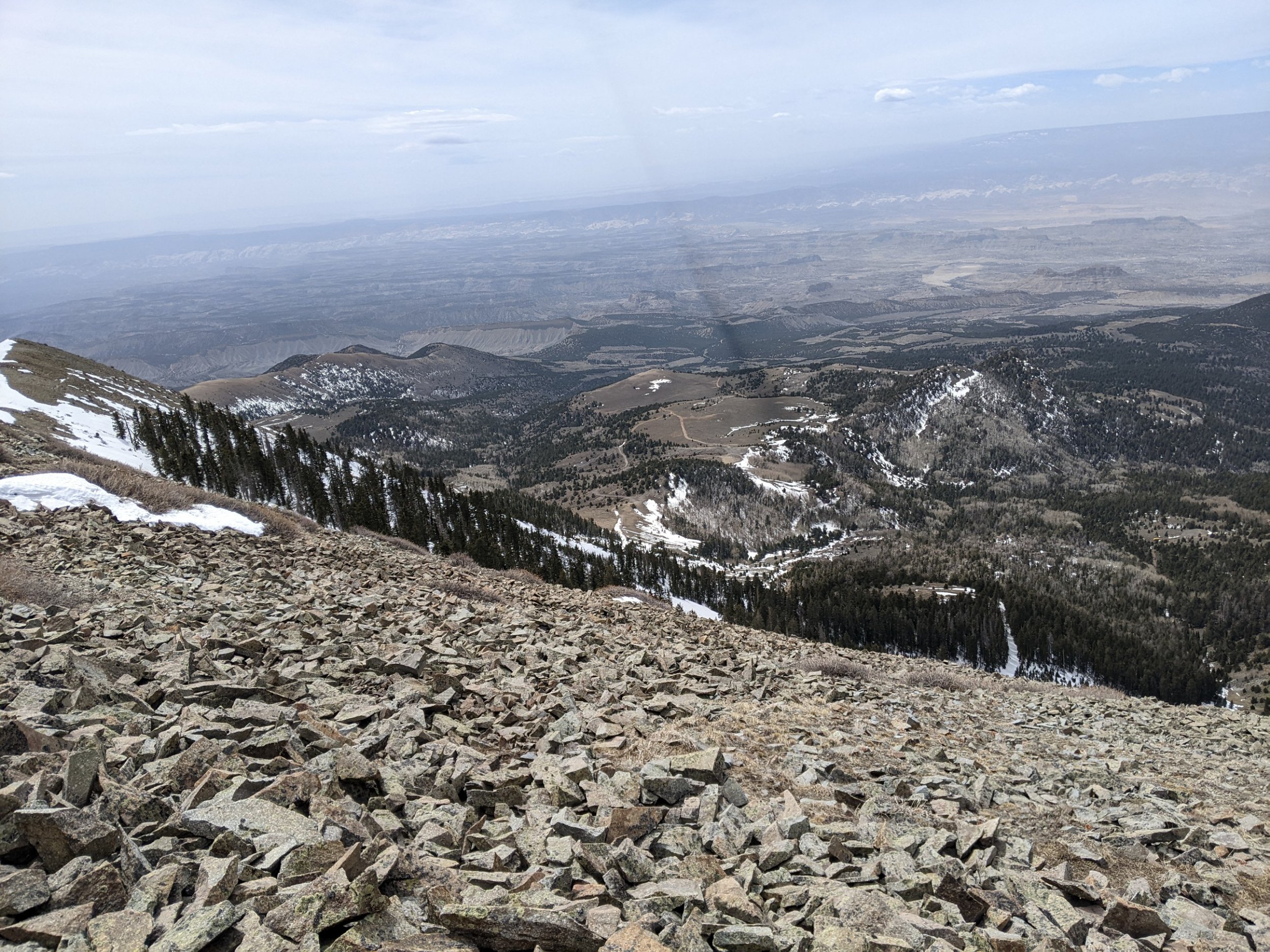
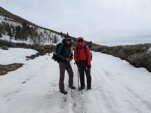
Unfortunately, my route stays along the crest for a long time, and I just cannot take this wind. I see two hikers far in front of me going off-trail straight down the slope of the ridge. I decide to follow them. After a lengthy cross-country descent I get down to a road at the bottom, and meet the hikers, Bucha and Sprinkler.
They explain that the road that we are on will join back with the HDT. We discussed the weather that is expected for tomorrow.
I discovered that we have good cell phones signaling here along the road, unaccountably. I upload my blog posts and process my email quickly, but they need to take longer, so I move along. After another long cross country descent I make it to Sweetwater Creek, mostly dry but with some small seeps. They really shouldn’t call it sweet water if cows are allowed to stomp through
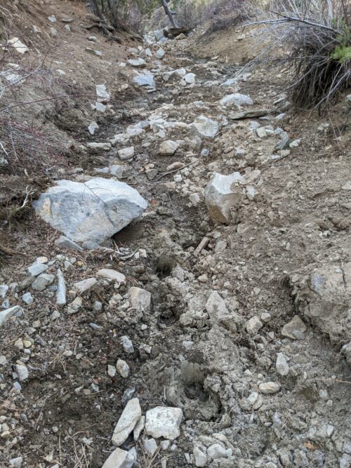
The creek is narrow and has scrambles and snags and is not a fun obstacle course. Gradually hit widens and become sweet water canyon and adds drop-offs and dryfalls
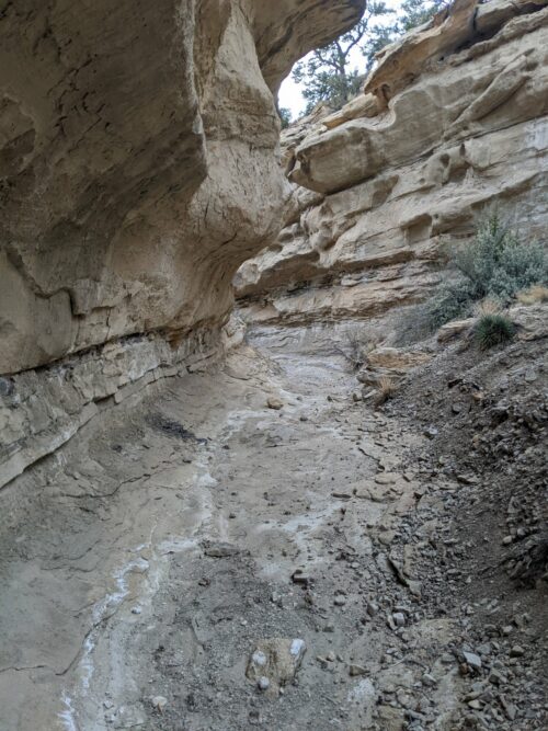
I finally reached the end of the canyon and set up my tent along a road and sagebrush country at near dark. Wind pounds my tent all night, with intermittent rain