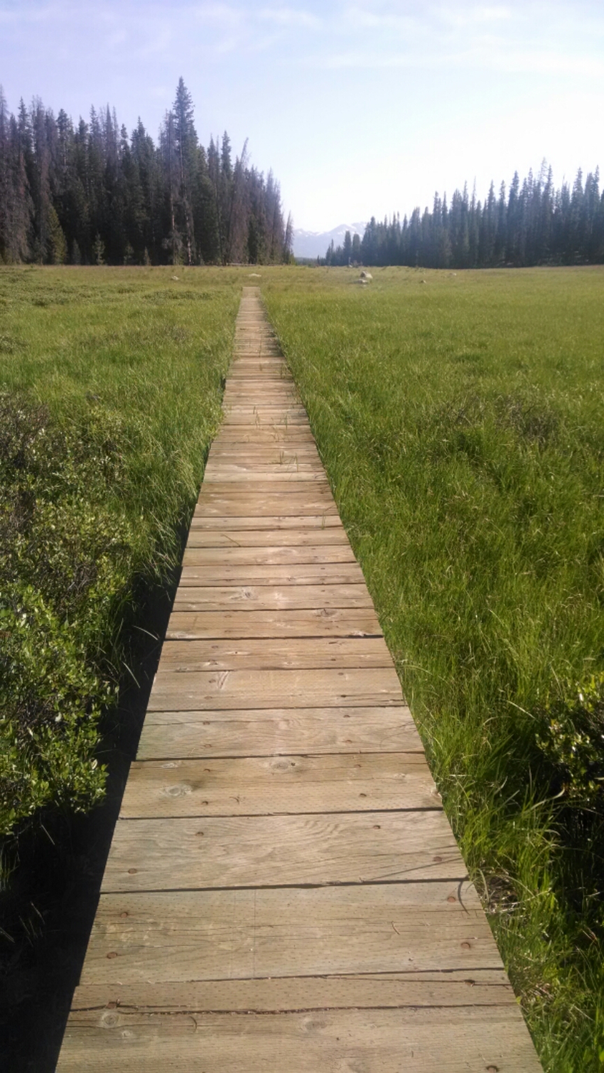
The morning is spent walking the High Lonesome Trail, meandering through woods of pine, spruce, huckleberry, and skeeters. This is the representative view.
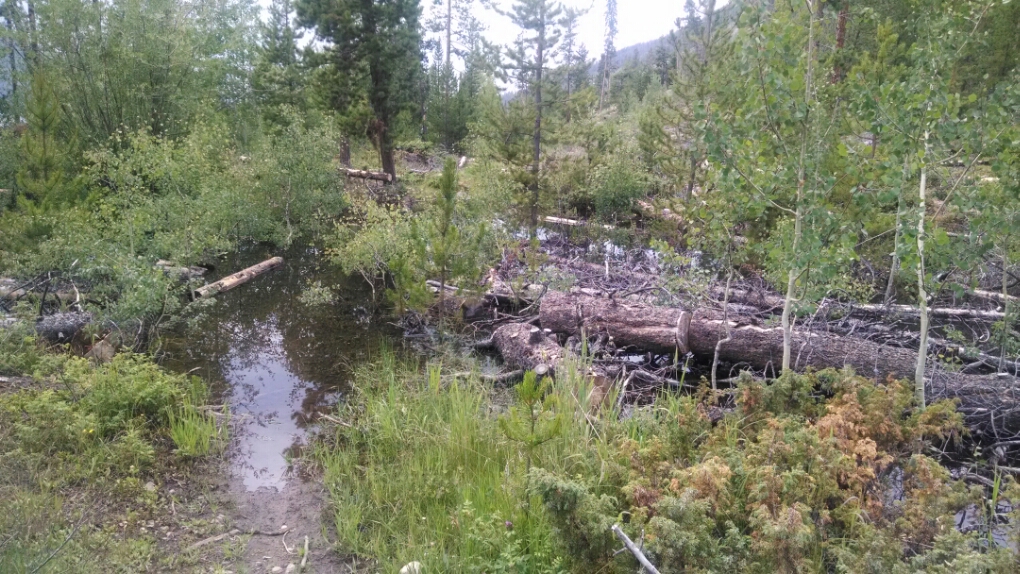
Sometimes we did pass through wetlands.
I met a trail maintenance volunteer who warned that a trail later in the day was not maintained, had a high degree of difficulty with deadfall, and the trail often disappeared. He said the forest service administrator would not permit his group to work on the trail, claiming it was too risky with beetle kill trees still standing.
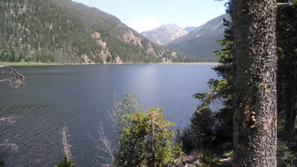
Monarch Lake had plenty of visitors fishing and hiking.
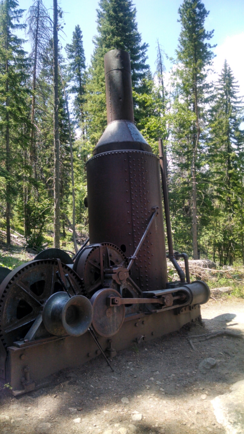
An old steam engine is left abandoned by the lake. What was it used here for?
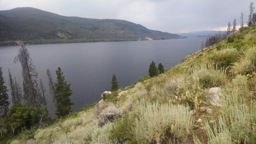
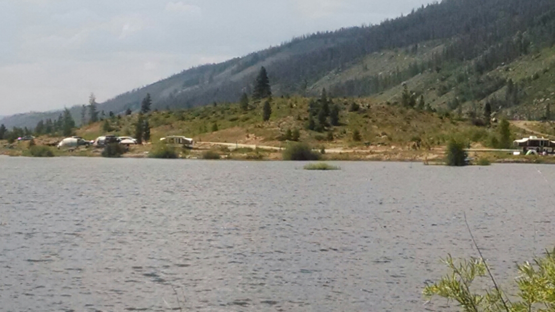
The trail follows along part of Lake Granby, which is huge.
Tent sites are right on the lake– pretty cool.
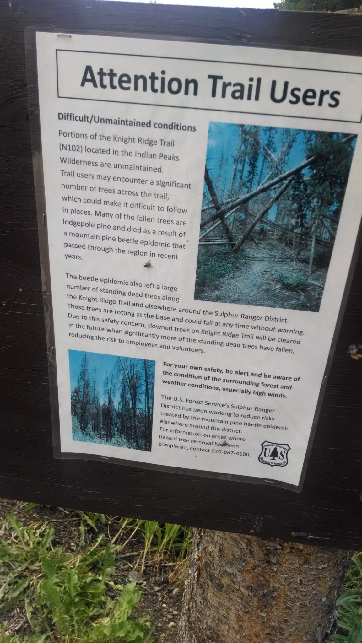
The Knight Ridge Trail begins with a warning that the trail is not maintained.
(Other Forest Service administrators have been able to safely maintain their sections of CDT trail even with beetle kill. Wonder what the difference is with this particular trail?)
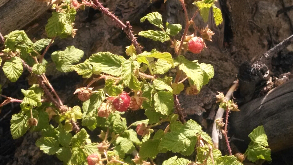
Wild raspberries are an unexpected tasty treat.
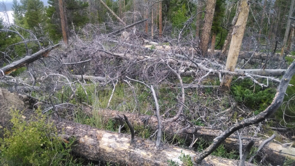
This trail, only six miles long, is extremely difficult to walk. The amount of deadfall to cross must be seen to be believed.
Another example of deadfall near the beginning also has water hazard.
Diverting around the fallen trees causes me to lose the trail several times, and I have to cut cross-country for long distances before picking up the trail again. Since previous hikers also have to detour, any trail around downed trees is getting fainter and harder to find. This section takes hours longer than planned, my water is running low, and feet are weary from the climbing over limbs.
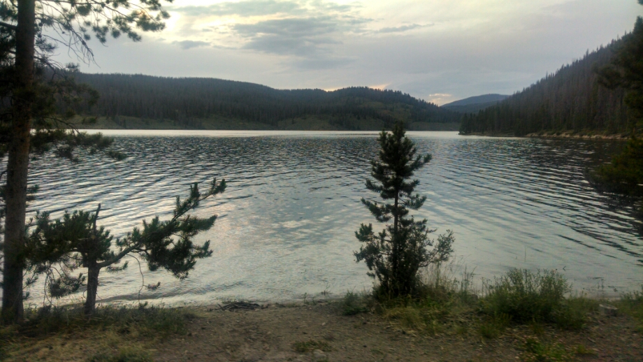
Finally at 8PM the lake appears, near a boarded up forest service building and stream. A possible campsite comes into view, with a sailboat group camping nearby out of sight.
The view from my tent is pretty sweet.
Day 33, 7/20/2014, Sunday
Start just inside James Peak Protection Area, 34-052WB, mile 1325, elevation 10076
End 35-075WT near Twin Creek Ranger Station, mile 1347,elevation 8291
(It was tricky picking a camping spot not on Rocky Mountain National Park land, with permit and bear canister required for camping, and Indian Peaks Wilderness, with permit required. I am just about to pass on RMNP land, but wild be able to walk into town and not camp.)

