Sixty to Manzano

Tuesday, May 23, 2016
Grand Enchantment Trail section-hike Polvadera NM to Tijeras NM, starting here
Day 3
Start waypoint north of 33470 Section 33 mile 39.6, a few miles south of US60
Stop waypoint 35030 Segment 35 mile 2.3, on Pine Shadow Trail a few miles from the summit of Manzano Peak
Miles walked [Segment 33] 42.5 – 39.6 + [Segment 34] 15.3 + [Segment 35] 2.3 = 20.5

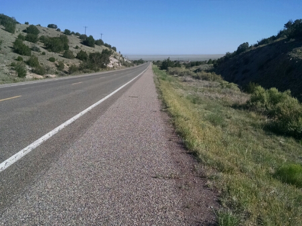
In a few miles I reach US60, where a food cache was hidden under a tree. I had taken a photo when hiding to remember which tree.

image

Water bottles and goodies were included in the cache box to offer as a surprise treat for other hikers, known as “trail magic”.

I had tested when hiding the cache how far down US60 until a cell signal could be found, so I could signal Base Support of my continued health.

image

But after walking much further down the highway, more than a mile, I still not send a text, even with several bars.moral of the story: don’t rely on a signal meter to test for cell reception, but instead actually place a test call or text to see if it goes through!

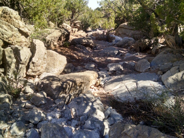
The trail follows a rocky arroyo for several miles, enclosed enough to provide some shade.

image

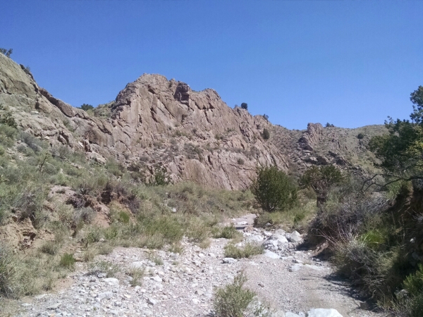
Surrounding cliffs become tall and rugged.

image

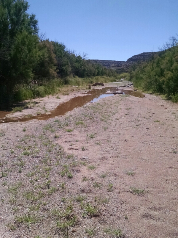
When the arroyo joins another larger arroyo, pools of water were found, welcome since all seasonal springs along the route have dried up.

image

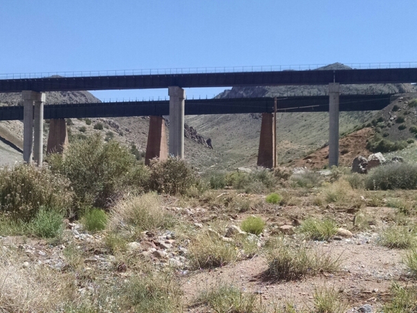
The arroyo passes under train trestles.

image

Leaving the wash, the route goes along a two-track road which climbs for a number of miles.

image

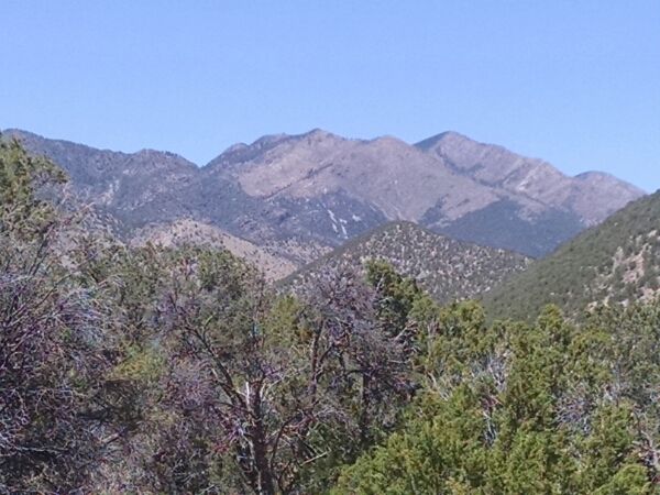
Formidable rocky mountain faces start to appear in the distance.
After going on a forest service road, one arrives at the trailhead for Pine Shadow Trail, going up Manzano Peak, the first actual man-made trail of this trip.

image

I find a rare flat spot a few miles down from the peak, to escape wind and exposure, and rest up for good climbs and scenic views expected tomorrow.

[completed audiobook The Wizard That Wasn’t, by Ben Rovik]
Sev to Sixty

Monday, May 23, 2016
Grand Enchantment Trail section-hike Polvadera NM to Tijeras NM, starting here
Day 2
Start waypoint 33230 Segment 33 mile 19.4
Stop waypoint north of 33470 Segment 33 mile 39.6, a few miles south of Highway 60
Miles walked 39.6 – 19.4 = 20.2

Early in the day I meet thru-hiker Chimichanga.

image

He was as surprised to see me as I was to see him, as this trail does not have any hikers. He agrees it is pretty late to be hiking in Arizona later, and has a sun umbrella and plans siestas during the heat of the day.

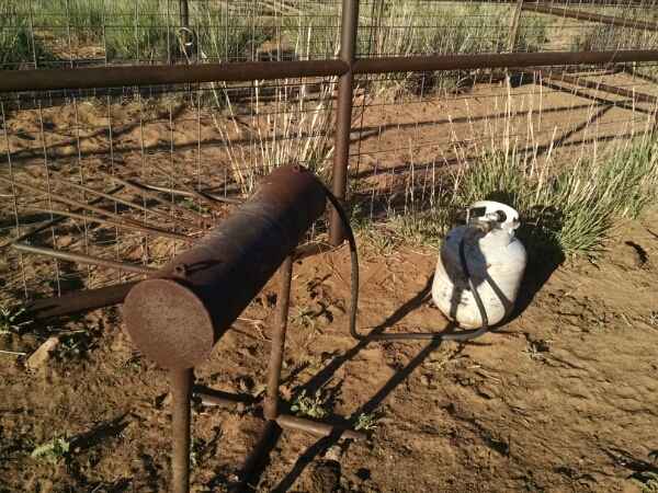
A branding station near the dirt road is ready for cattle.

image

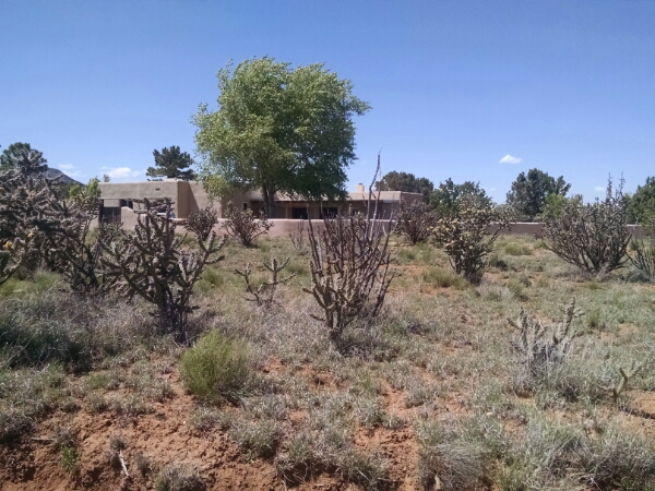
I pass a ranch house on a long dry road walk, and happen to see someone doing yard work, so I ask to use the faucet.

image

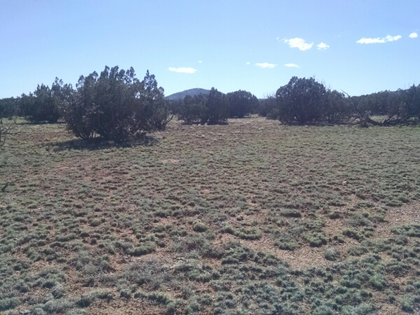
The day brings a lot of cross-country walking, sometimes along fence lines but often with no landmarks as a guide.

image

I finish the day just a few miles from highway 60, where I left a food cache, and included some treats and extra water that will be a treat.

[finished audiobook How to Succeed in Evil: Consultation with a Vampire by Patrick E McClean]


South of Sev

Sunday, May 22, 2016
Grand Enchantment Trail section hike Polvadera NM to Tijeras NM
Day 1
Start waypoint 33044 mile 6.9 Segment 33-Alt NE of Escondida Lake
Stop waypoint 33230 mile 19.4 Segment 33 along Sevilleta boundary
Miles walked [Segment 33-Alt] 6.9 + [Segment 33] 19.4-3.9 = 22.4 miles

(Here is the start of a one week section hike on the Grand Enchantment Trail, starting near my house, from Polvadera to Tijeras, New Mexico. The hike continues a previous section hike from Monticello to Polvadera the previous fall.)

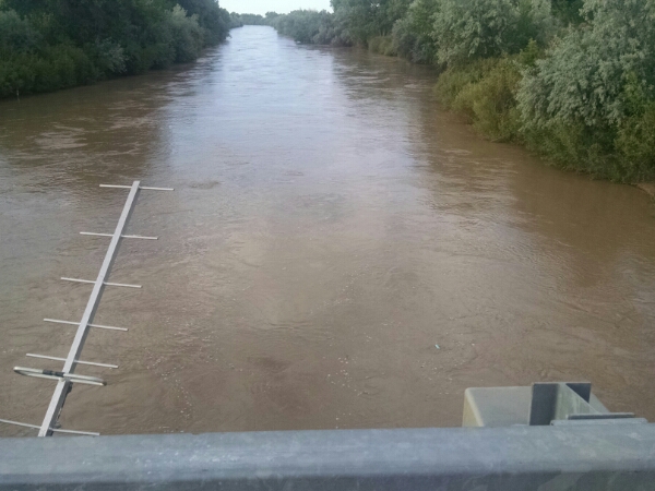
Looking at the bridge near Escondida Lake, the Rio Grande was running high and fast, so crossing at Polvadera would not be wise.

image

“Base Support” dropped me off on the Westbounder Alternate river crossing route.

image

I could have taken the Johnson Hill alternate route through the Quebradas, but I have driven that route several times and I wanted to see what was across the river from Lemitar.
The route goes along the edge of the Bosque, the forest zone along the river.

image

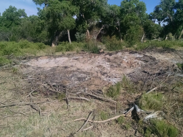
Signs of salt cedar clearing are evident.

image

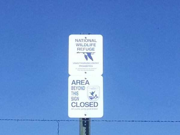
For most of the day the trail runs near the south boundary of the vast Sevilleta National Wildlife Refuge.

image

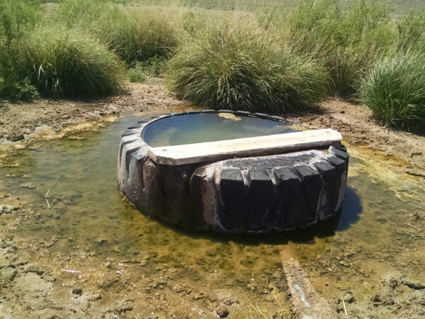
Several water sources are dry, until finally a tire trough is working, followed by a string of good watering spots the rest of the day.

image

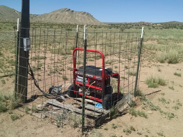
I saw a lonely power generator, possibly providing power to a well pump for a nearby tire trough.

image

A solar panel would be more practical, but perhaps this is legacy equipment from a time when solar was expensive.

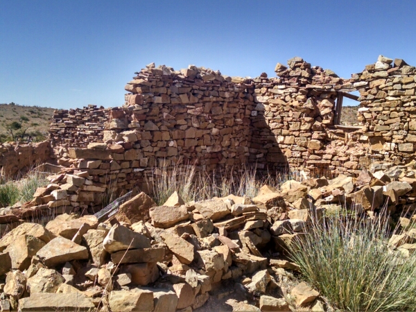
The trail passed several abandoned ranch sites.

image

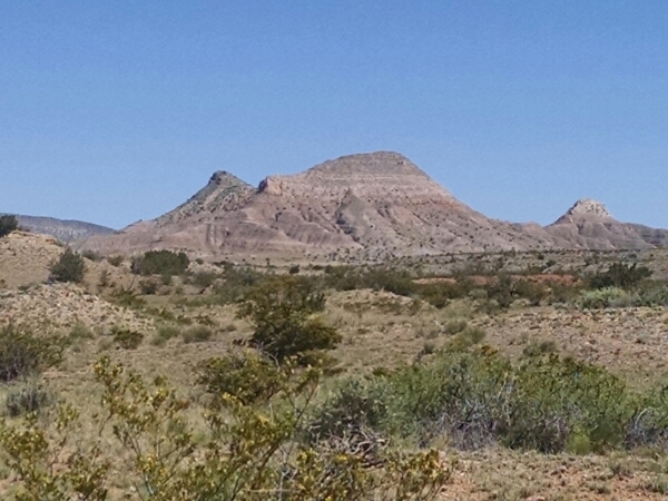
Some colorful rock formations come into view that are would not be out of place in northern New Mexico near Ghost Ranch.

image

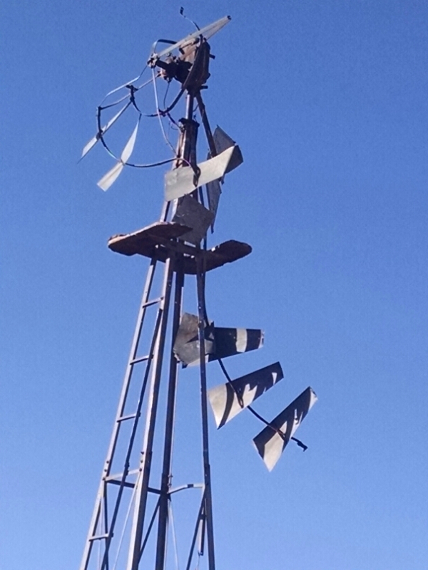
Several old windmills are admired throughout the day.

image

[finished audiobook Brief Conversations With My Hair by Russell Bradbury-Carlin]