Hiking gives us the opportunity to put down our addictive screens, turn off social media, cut out our news media habit, turn aside our gaming compulsions… all to really experience the outdoors and a noble adventure.
But used in moderation, a smart phone is a valuable tool for hikers, an “electronic Swiss army knife” of useful apps that are relatively non-addictive and will enhance our trip. Here are the Android apps I use on long trips.
Backcountry Navigator Pro (paid). Turns your phone into a handheld GPS. I have used this app heavily since my 2012 AT trip, later on the CDT and GET.
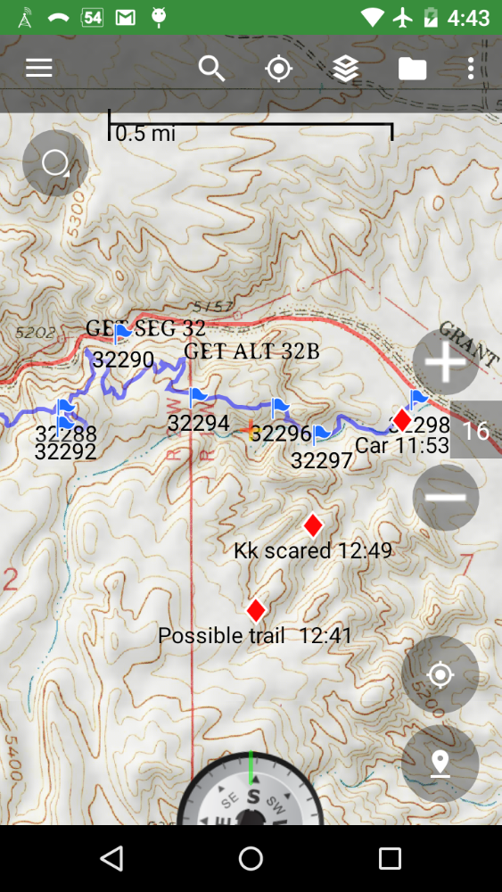 Import waypoints or tracks, and download free or paid maps (I tend to use free CalTopo maps) before the trip, find your current location on the map, and record your own waypoints with annotations to help document the trip. Rarely, perhaps every couple of weeks, my particular phone GPS becomes confused and I need to reboot, but this is likely not a fault of the app.
The maker of Backcountry Navigator is moving to a subscription model with more features, but I hope they keep the Pro version available, as I have a frugal nature and avoid subscription apps.
Most long trails have free GPS files available. Tracks with waypoints are easier for me to follow than waypoints alone. Inevitably, the trail makes a strange jog between waypoints spaced every half-mile or quarter-mile, that causes navigation puzzlement, but even I can follow continuous tracks. I always carry a compass and print copies of maps as a backup, mailed to me in supply boxes, but perhaps a backup electronic device could be substituted for future journeys.
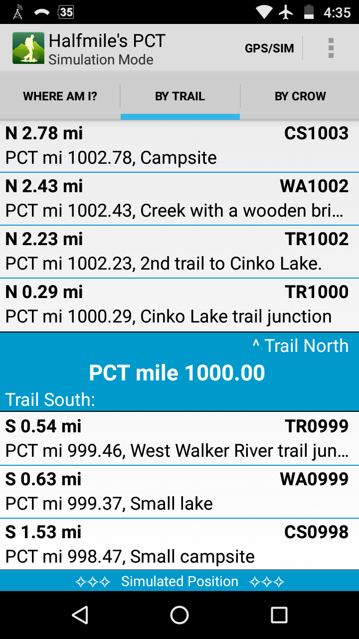
Halfmile’s PCT is a free app, that displays the closest Halfmile trail guide annotation. Cool!
Guthook’s PCT Guide (paid, by trail section.) I used this paid app on northern parts of the CDT, but will wait during my PCT hike to purchase for a particular section if I need more help with navigation or up-to-date information on water sources or trail closures.
For the PCT: Compass Cloud (in-app purchases). Since I will be taking public transportation to the beginning of the PCT near Campos from San Diego, this app allows me to purchase bus fare on my phone. If you are using the local trail angel network to get a ride, you will not need this. This app’s reviews are rather low, but my contact in San Diego says to install anyway.
Consider getting OneBusAway to help with bus schedules and navigation. I do not anticipate needing Lyft or Uber while on the trail, but what do I know?
Other long trails might involve various transportation apps.
Camera. I use the pre-installed default app provided by the phone vendor, and use heavily, taking dozens of photos each day. Has anyone tried any of the other custom Camera or Gallery apps, and like one particularly well to recommend?
MessageEase Keyboard. When first using a smart phone, I had trouble using the standard keyboard, needing to really slow down typing or risk accidentally hitting adjacent keys. My fine motor control just was not very good. Instead of a keyboard layout with lots of tiny little buttons, this app uses a large 4×4 grid that fills most of the screen, with all letters made using a tap or swipe.
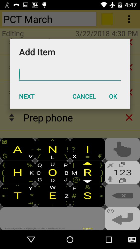 Learning the keyboard layout takes a considerable time investment, since no QWERTY skills will be of use, but a learning game app is available to help. Realizing I planned to make lengthy journal entries before my 2012 hike, I drilled on the alternate keyboard with determination. Now I can touch-type at rather good speed.
WordPress. I blog my trips on this very site, writing my hiking journal each night in the tent and then uploading over WIFI when I get to town about once a week.
 The app seems to require the closed-source Jetpack plugin installed on my WordPress site to work correctly. Sometimes the app has trouble uploading photos I have inserted in posts in off-line mode, if I have gone for several days without a broadband connection. In that situation I have to delete and insert them again into posts, which takes a lot of effort.
I need to turn off auto-update on the WordPress app just before my hike, so the latest update does not change something subtle that prevents my posts from uploading. This is from hard-won experience.
Gauge Battery (freemium). When using the phone on long trails, battery charge duration is a concern. This app puts the current percent battery level on the status bar, and gives various battery statistics on the notification drawer.
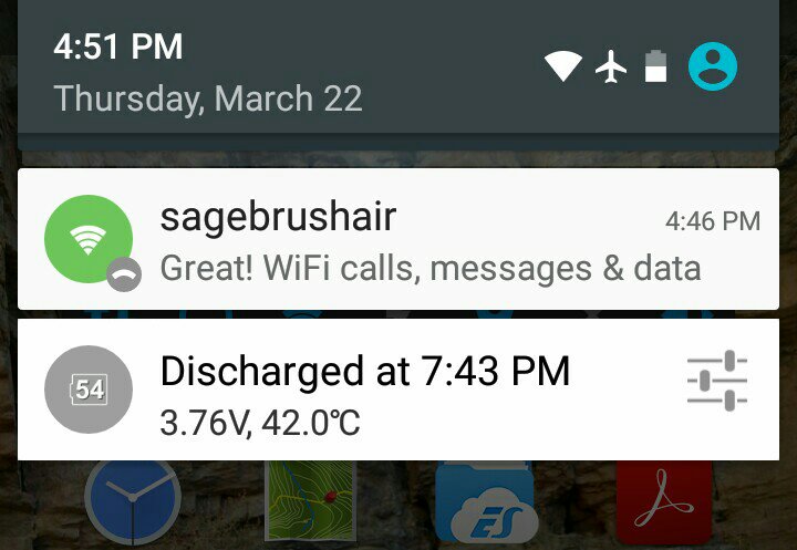 Trying to read the tiny screen text on a bright day is sometimes difficult for my aged eyes, so an app widget is available which shows the battery level in larger text with an analog-style gauge, including a symbol to show charging which is handy when using my solar panel directly connected to a phone.
 Whichever battery monitoring app you use, extend battery charge by turning off any Android radio such as cellphone, bluetooth, or WiFi when not in use, minimizing screen brightness, and disable or uninstall unwanted apps that attempt to keep running in background.
ColorNote. When a thru-hiker gets to town, one has many tasks to accomplish in a limited time, and for me a to-do list is a great help. I talk to people on the trail about “hiker brain”, where fatigue and hunger interfere with short-term memory, and other people seem to confirm or recognize the condition. Many list apps are available, but I settled on ColorNote for a simple elegant design with no ads.
 I make lists in the days leading up to getting to town, so while in town I have a plan of action and don’t forget anything and can relax after checking off items. A separate list for groceries helps with food resupply in an unfamiliar store. Another list is for trail names of hikers I meet, to help me remember when I meet them again.
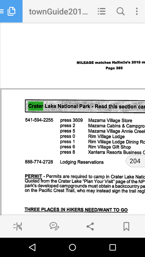
Adobe Acrobat Reader. Useful for reading town guides and hiker guides. I used to use another app, paid, which included word-wrap, but Acrobat is free and works fine for my current documents. I have a desktop scanner with sheet feed, and scan in any guide books that are not available in pdf format.
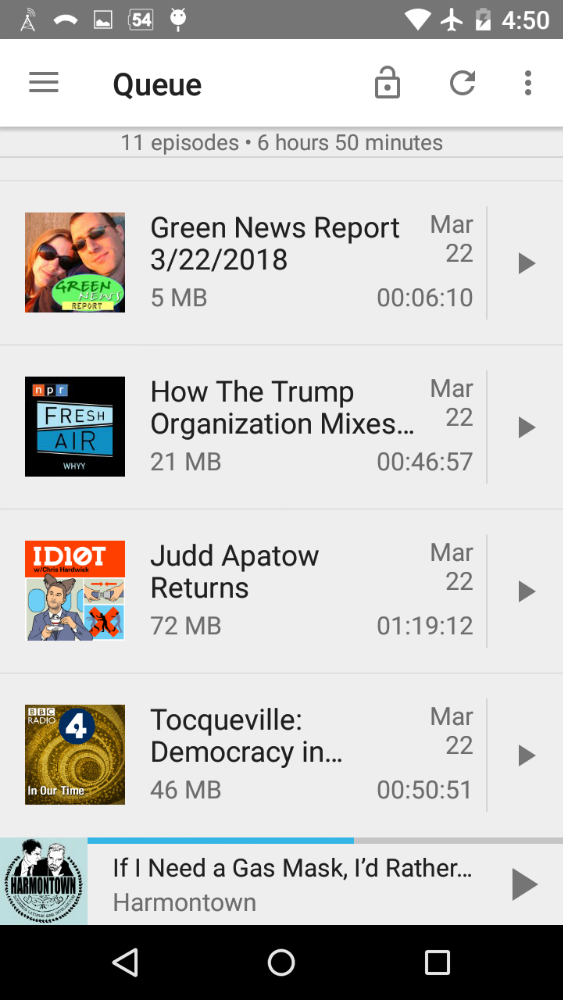
AntennaPod. I like to listen to podcasts during long days on the trail, and this is my chosen pod-catcher.
 The app is even open source, and I have even looked at the source code on occasion to learn how to build my own apps.
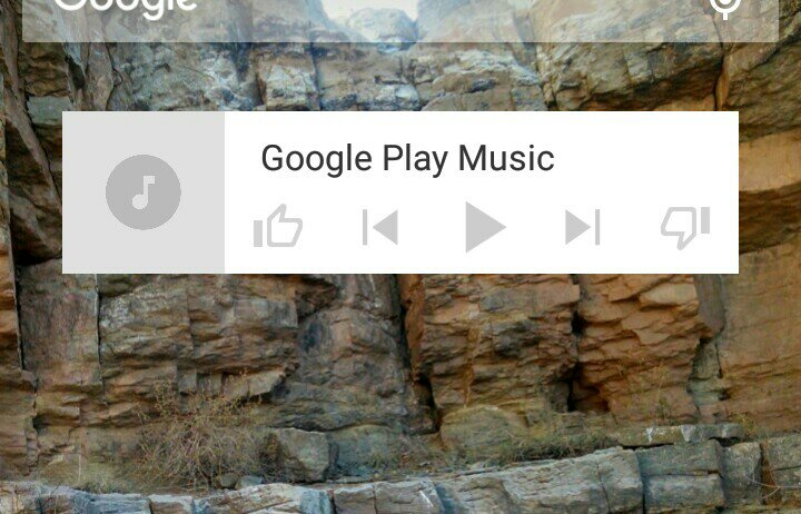
For audiobooks, I tend to use the Google Play Music widget.
 I download most of my free audiobooks from LibriVox before the trip, and store in an external usb drive to download when I am ready using a USB OTG adapter. VLC and MortPlayer are alternate players.
We discuss more apps in Part 2, with surprising choices.