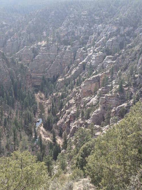
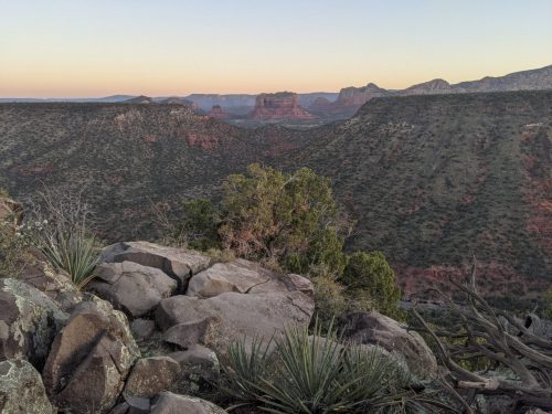
MRT 2021 Day 8, April 12, Monday
• Start S2 mile 73.1 of 89.0
• End S3 mile 2.5
• Miles walked: S2 15.9 + town 3.0 + S3 2.5 = 21.4
From last night’s camp is now all Ponderosa forest, tall and shady. More dirt roads finally lead to Pine Canyon Trail, which descends the Rim on well-constructed trail down Pine Canyon, where today’s destination town of Pine is located.
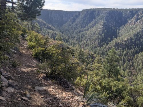
The mind boggles at the number of person-hours required to build such a length of trail of this quality all the way to the outskirts of town. Going down in pine forest is eerily quiet, only interrupted with an occasional woodpecker tap-tap.
I meet an MRT hiker, John W, who was taking a break with cell signal.
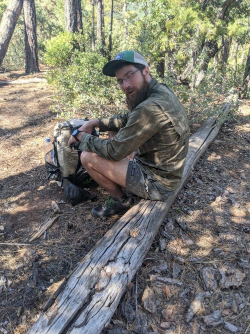
He was surprised to see another person hiking the MRT this year. I had been seeing his name of trail sign-in logs, so knew he was a half-day ahead for days. And I had been seeing his footprints with distinctive horizontal heel ridges (New Balance) for many miles. He did not intend to stay a night in town, just get a supply box and perhaps a meal.
I passed on. My hope was to get a cabin for a night and take a break. My memories of the town from an AZT hike were good ones. So I zoom down the trail, hoping to arrive in early afternoon, and periodically stop to text or call for a cabin reservation.
It was not to be. Calls went to voicemail, texts went unanswered. Going into town, I stopped at a brewery that used to rent a cabin to hikers, and learned it is now used by employees. No motels are close by, and I will not settle for a tent site. So after getting food supplies at the grocery and stopping outside the closed library for wifi and to recharge, I get back on trail late in the day.
The MRT joins the AZT out of Pine to follow the Highline Trail for several miles. We are hiking along the base of the Rim.
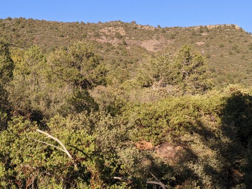
I stop early at a tent site with a good view.
