Almost Safford

GET 2017 Day 14, May 9, Tuesday.

Start Segment 10 mile 16.1 of 25.9 at Chesley Flat

End stealth camp near Frye Mesa Road just beyond edge of town, Segment 11 mile 8.5

Miles walked: 18.3

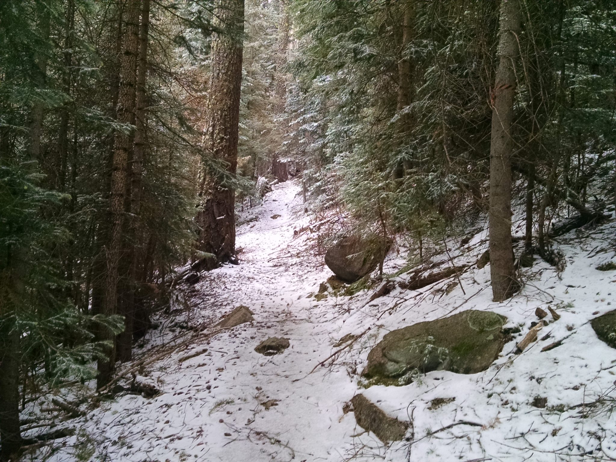
Snow! A quarter-inch to half-inch layer of powder covers everything.

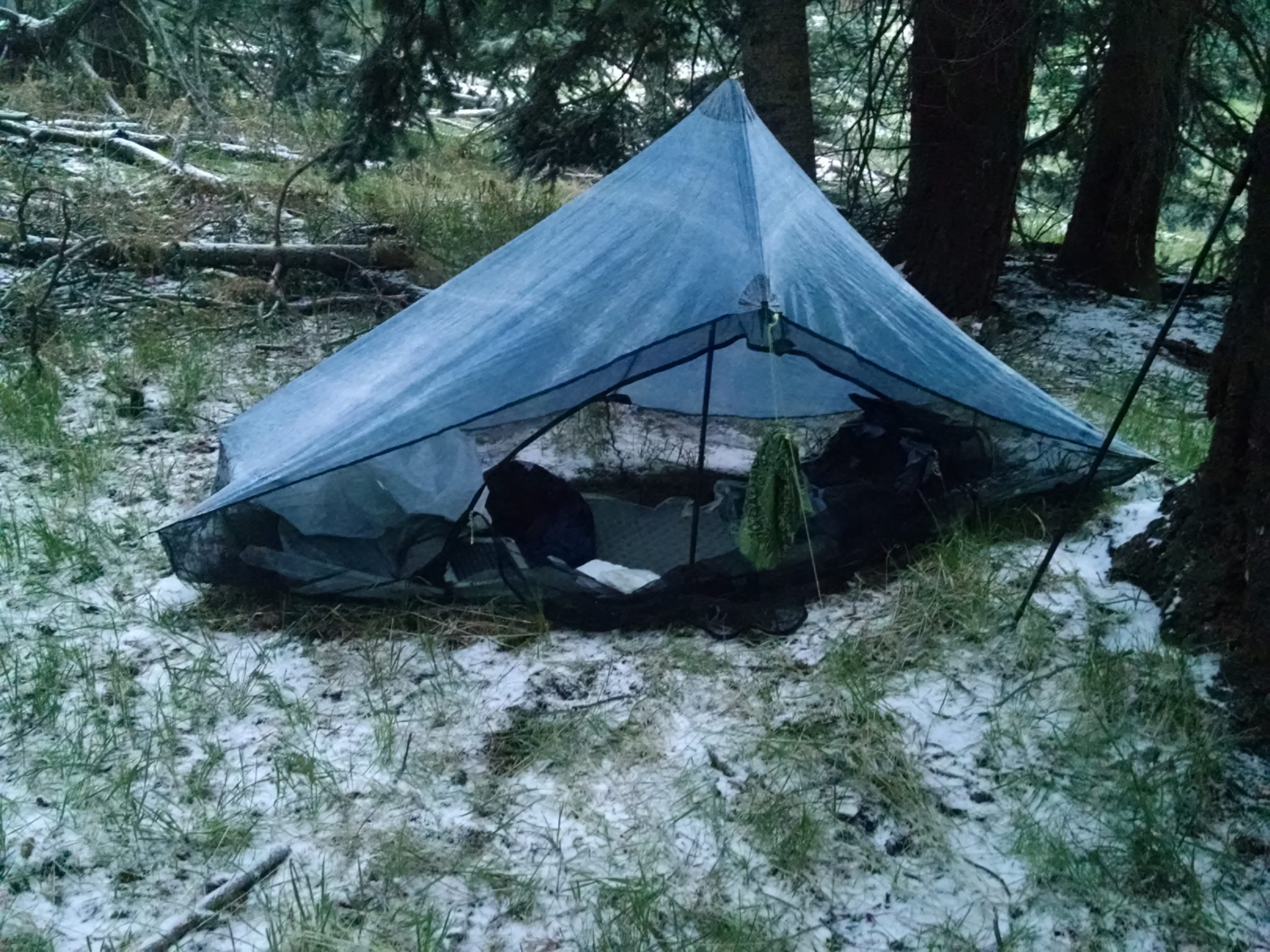
Chesley Flat Trail 311 is wide and well-maintained, so following path covered with snow is not a problem.

Continue reading “Almost Safford”

Pinaleno Climb

GET 2017 Day 13, May 8, Monday.

Start Segment 9 mile 8.1 of 9.8, near Two Troughs.

End Segment 10 mile 16.1 at Chesley Flat

Miles walked: 17.8

The trail descends down cross-country and cattle path to a 4WD forest road. The road turns into Johns Canyon Trail 313, which follows and gradually climbs out of Bellows Canyon and crosses over to follow Johns Canyon Ridge. The trail is badly overgrown.

Often the path disappears, and blue tape tied to trees is the only sign of trail. Pushing past branches makes for slow going.

I finally reach West Peak at 8600 feet around noon, greeted with intermittent hail and pellet snow.

Continue reading “Pinaleno Climb”

Restart Klondyke

GET 2017 Day 12, May 7, Sunday.

Start Klondyke Road, mile 1.9 of segment 9.

End Segment 9 mile 8.1, near Two Troughs.

Miles walked: 6.2

Papa (father-in-law) and Mary just happened to be taking the Bucket (RV) from New Mexico to Arizona, and would be going past my home and Safford, so they agreed to give me a ride to Klondyke Road so I could restart my hike.

Continue reading “Restart Klondyke”