PCT 2018 Day 11, May 3, Thursday.
Start campsites on Mission Creek, mile 226.1
End campsites at mile 253.1
Miles walked: 27
The trail exits the San Gorgonio Wilderness in a few miles, and starts climbing steeply into an old burn area. This is now the San Bernardino National Forest. on the CDT national forest boundaries sometimes aligned with a sudden change in the design of the pathway. Expect steep grades now. The climb is from 3.5k to 8k. Past the burn area fresh snow is present, possibly from the same weather system that caused me to make a quick exit from Idyllwild. 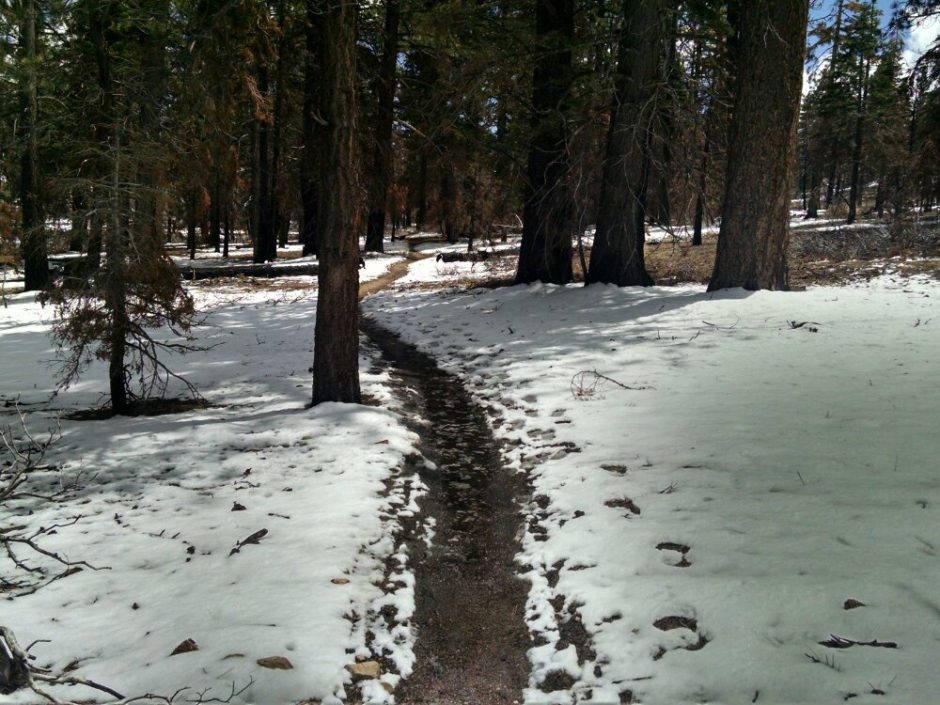 Few water sources are available, but trail angels have left water in a couple of spots. Near my final stop angels had left a mini-dumpster filled with sodas and bananas. Strange but welcome.
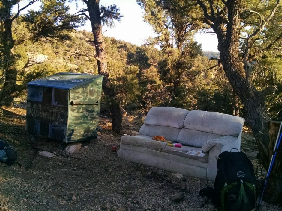
Other hikers at the campsite are Seth and T-Bone.
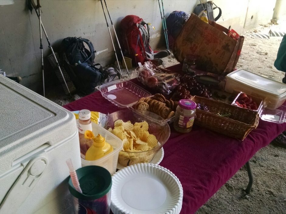 Hot dogs are in the cooler.
 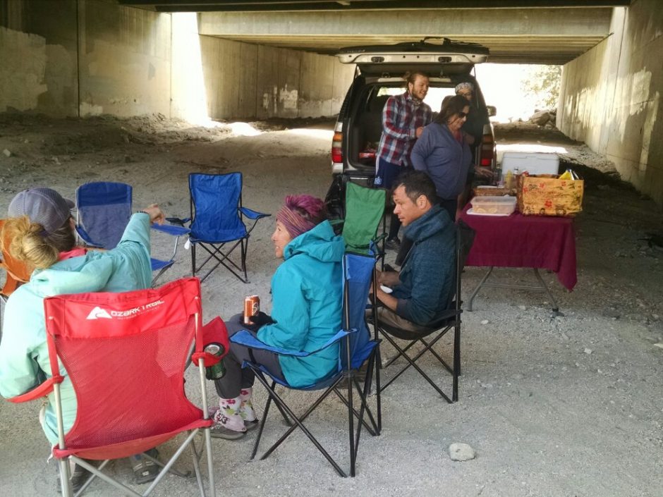 The trail goes by the Mesa Wind Farm, which we could see while coming down the mountain.
 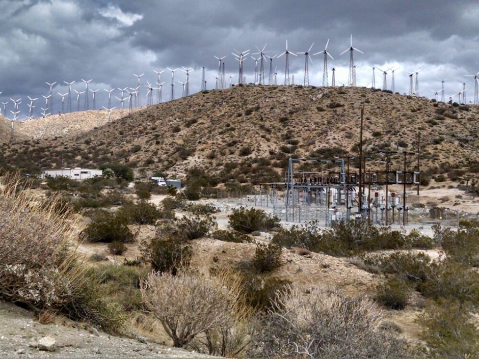 Their maintenance shed welcomes hikers, but was closing just as I got there. The San Gorgonio Wilderness had miles of steep canyons and grand views.
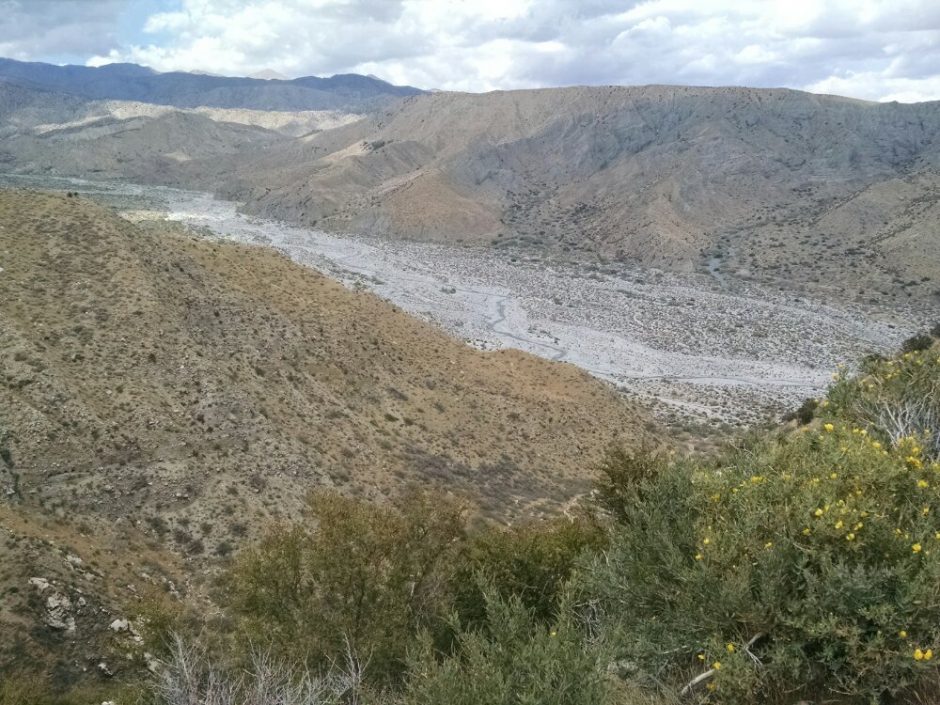
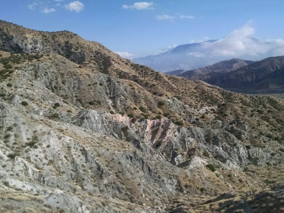 The first designated campsite within the wilderness was too early, so I pressed on to get to their next site. Nonetheless, I met and chatted with several people at camp: Rattlesnake from the UK, Donna, Dana, Todd, Spooked, Ms Frizzle, Cathy, Skinny Santa.
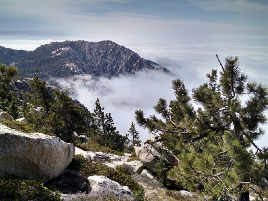 An alternate trail goes to the San Jacinto peak at 10.5k and stunning views most days, but I stay on main trail to be ahead of the weather. At a creek I stop for water, and two other hikers are there, all of us silent, enjoying the peace and water sounds. These are the only hikers seen until 1PM. The trail goes through San Jacinto State Wilderness, and some old-growth trees, their tops beginning to fade in the fog.
 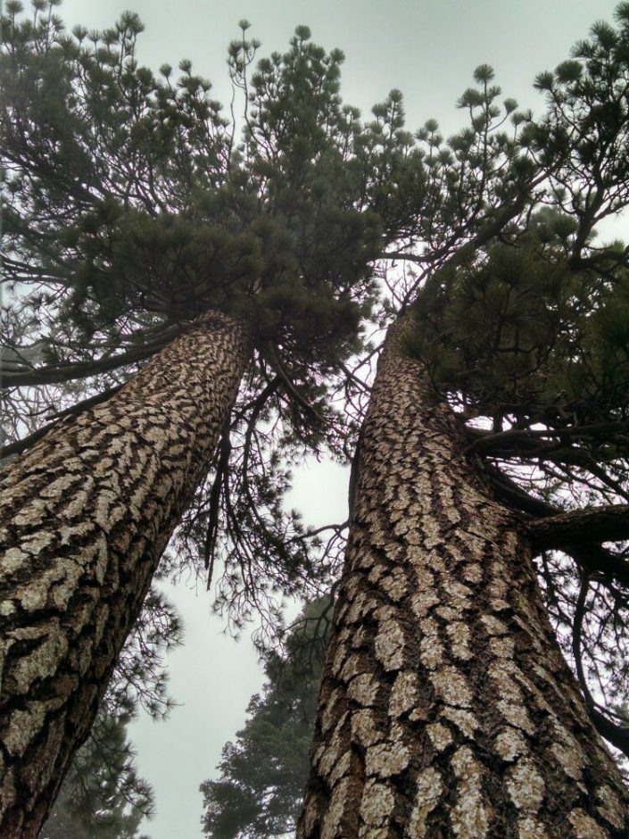 The route goes from 9k elevation to 2k elevation and very dry and warm desert. This is the biggest elevation drop on the PCT, and will take longer than today to finish. As the trail descends into the fog, some ice is blowing around and accumulates on trees.
 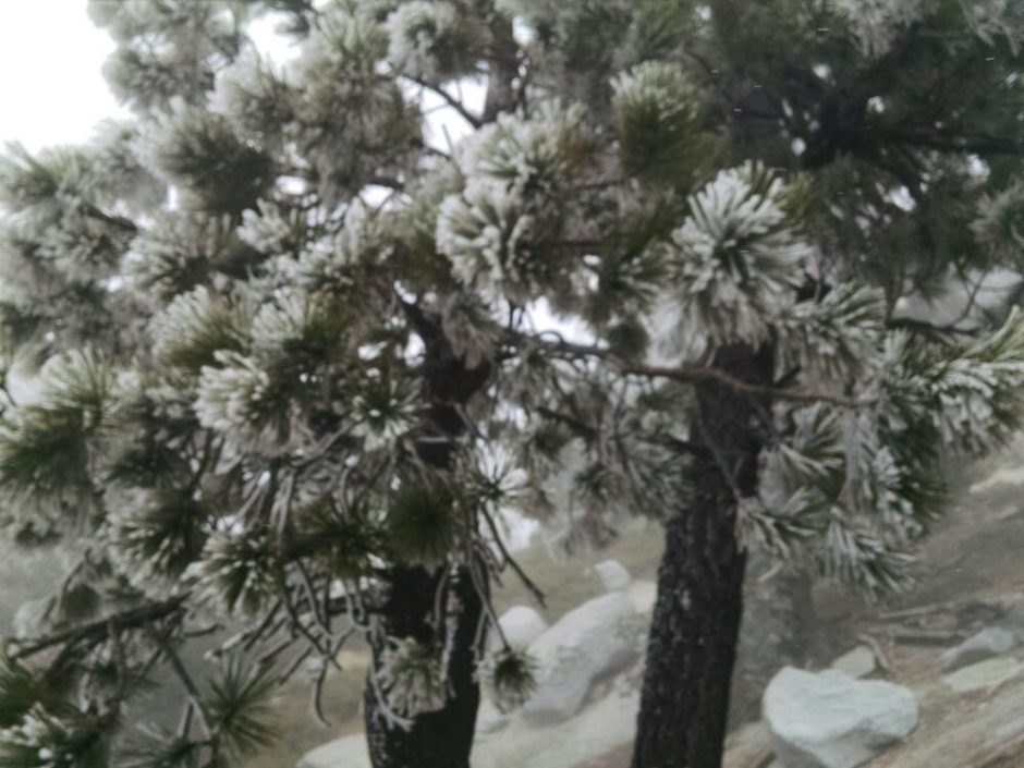 Donning cold-weather gear, I hike in blowing snow down to 5k elevation, where the snow turns to showers and mostly stops. The campsite is exposed to the wind, and my tent is buffeted by gusts through the night.