- CDT NM 2025 Day 30, Tuesday May 6
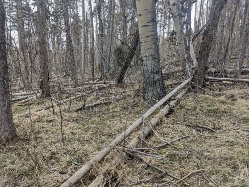
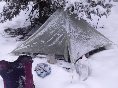
- Start mile 742.9, underneath a fir
- End mile 738.7 Hwy 64 near Hopewell Lake
- Miles walked: -4.2
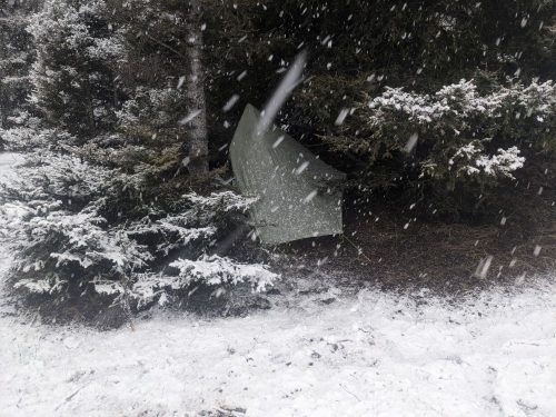
Snow came down throughout the night. Look back at the last post, and the rock in front of my tent is no longer visible.
I get ready and start hiking. The going will be tough, but one final night should put me close enough to Cumbres Pass to finish the hike, and then hitch to Chama to celebrate.
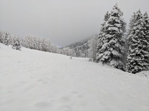
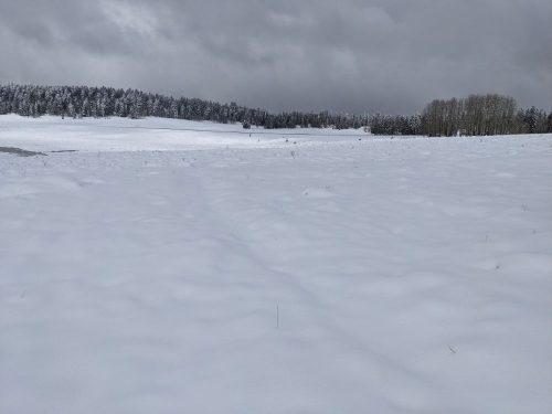
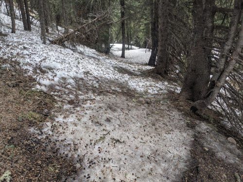
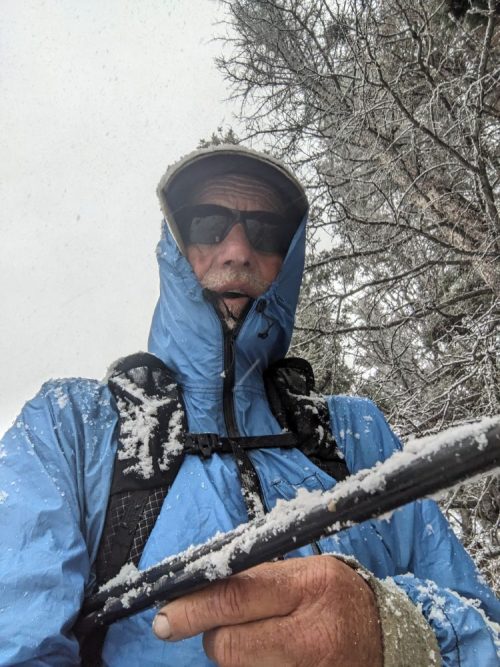
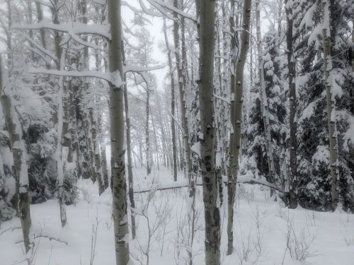
Instantly I run into trouble. Powder comes to my knees as I struggle forward, then to mid-thigh, and then a drift comes to my waist.
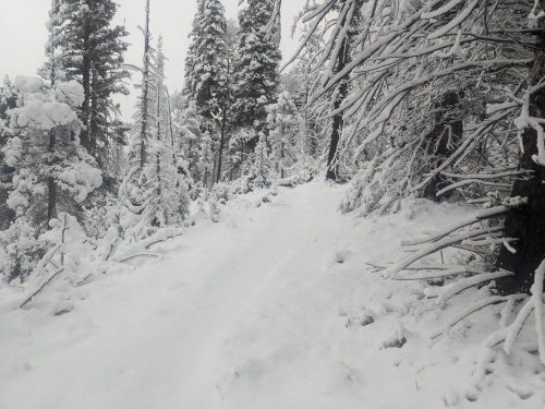
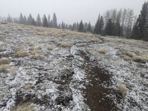
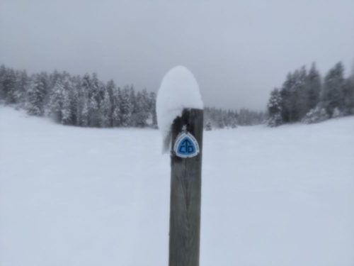
The trail is often invisible, as blowing drifts of snow obscure the subtle dip that shows me my route. Snow continues to fall, the stubborn dark gray clouds refusing to moving on.
With a sigh I turn around and head back the other way. I can shelter at a pavilion at Hopewell Lake and wait for pickup by Cairn in a few days, when the highway is clear. With rationing my food should last a few days if I am not burning fuel hiking.
The way backwards is much harder than yesterday. Luckily I had been on a dirt road most of the route, and can sometimes see the way, with ample help from my navigation app. Slogging through loose powder is exhausting– this is why snowshoes were invented.
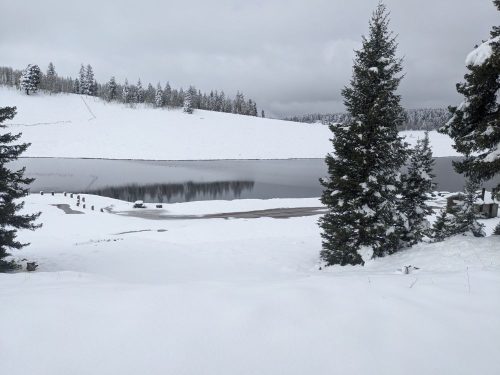
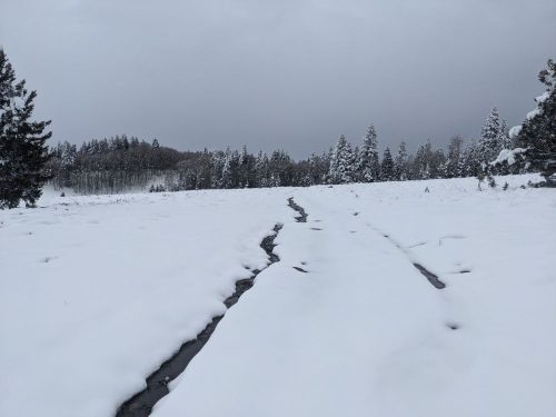
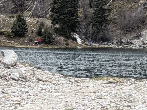
Hopewell Lake is barely visible in the blowing snow, and Hwy 64 is invisible, though completely clear just yesterday.
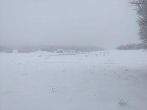
I try to hike to the lake, but the trail is invisible, and I posthole up to my waist, the powder trying to take my shoe.
Just then two snowplows come by, clearing half the road, and three cars follow them. I jog back to the road, and another car comes past, and I hitch “to anyplace with a motel”. Trail angel Ben is heading past Chama on the way to Colorado. Perfect. On the drive we talk of many things, of farriers and fungi.
The Y Motel lets me check in early to grab a shower, and I stop at nearby Finas’s Diner for lunch.


Tomorrow I head home. Close enough. I am done.
Finished audiobook Recalled to Life, by Robert Silverberg.