PCT 2018 Day 24, May 16, Wednesday.
Start mile 553.9, campsite
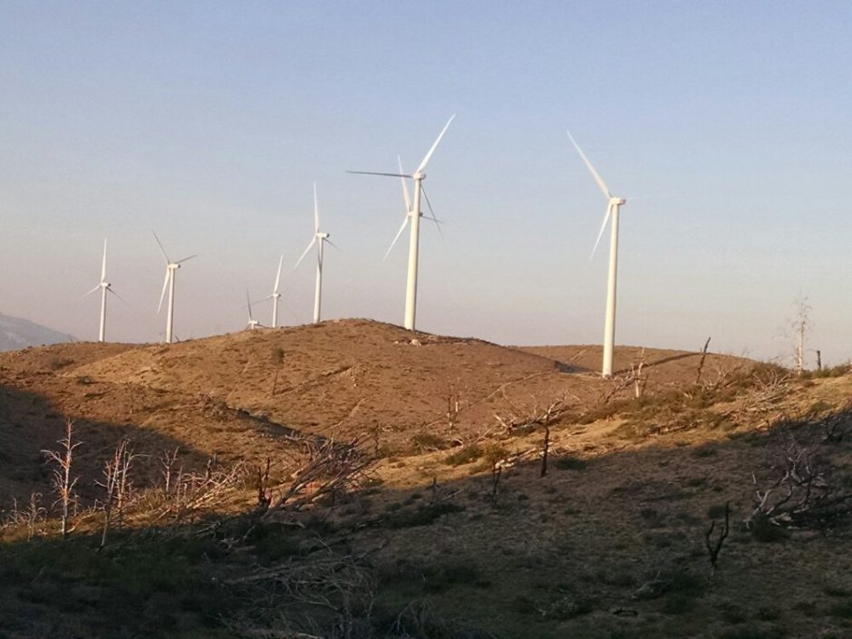
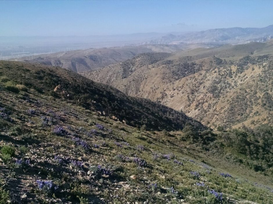
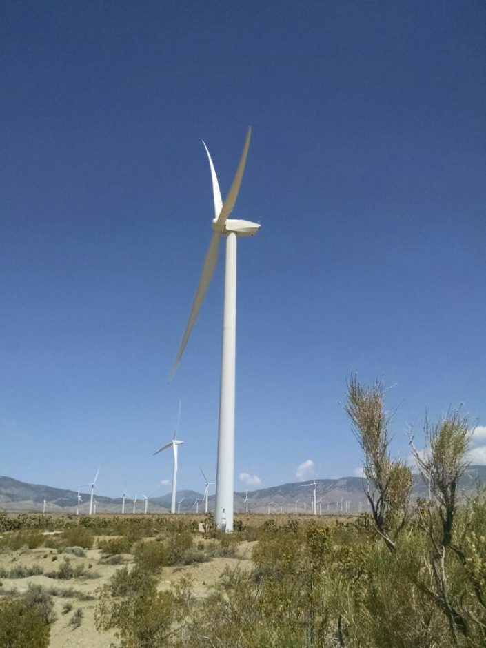
End 566.5 Highway 58, Cameron Road exit, then accept trail angel ride to Tehachapi. Miles walked: 12.6 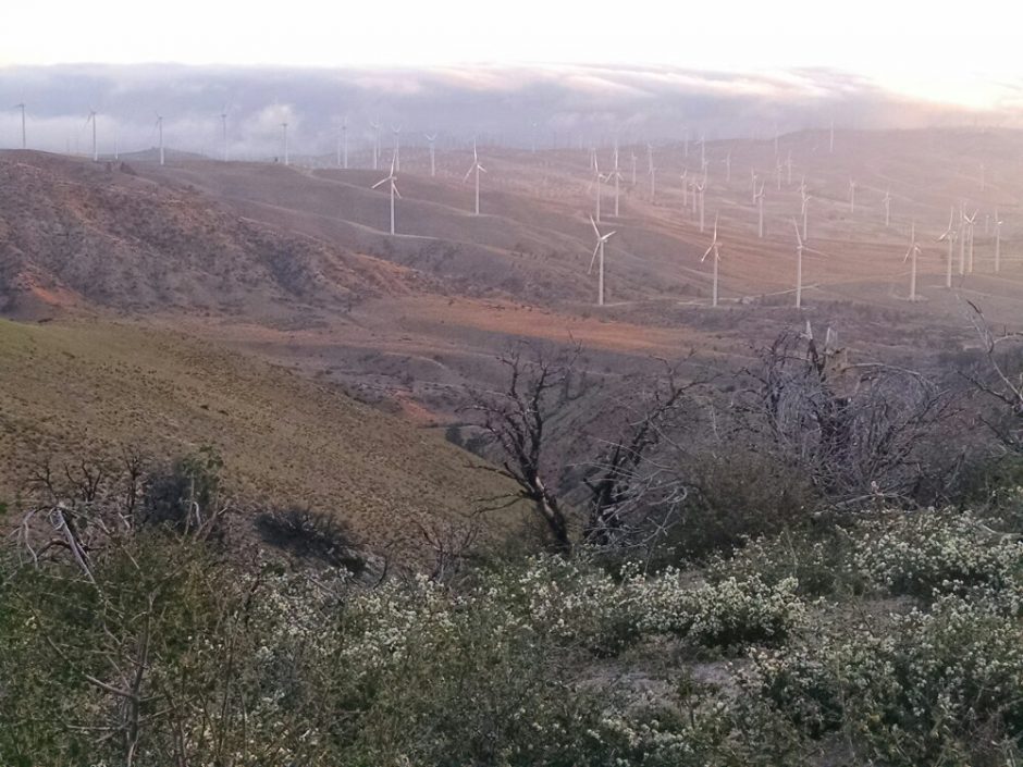 I walked down a ridge and past many wind turbines to a road crossing, Willow Springs Road, where one can hitch to the town of Tehachapi. The morning is cold, perhaps a bit too windy, but still good hiking temperature, so the walk continues towards the alternative road crossing to town, a few miles later. Now wind turbines are in even greater numbers, older models mixed with the new, and a strong wind exercises them well today.
 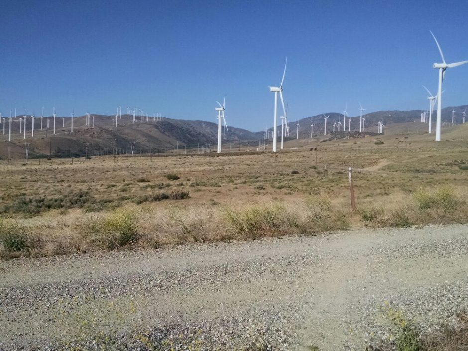 Up and down ridges the trail goes, past wind machines almost all the way to the road exit. Trail angel Tripod comes by and gives me a ride to town. Tripod is a thru-hiker that has been off the trail several weeks, but my get back on soon. He takes me to Wit’s End, the house of a trail angel coordinator, whose front room serves as a hiker hangout, where we can talk and share information.
 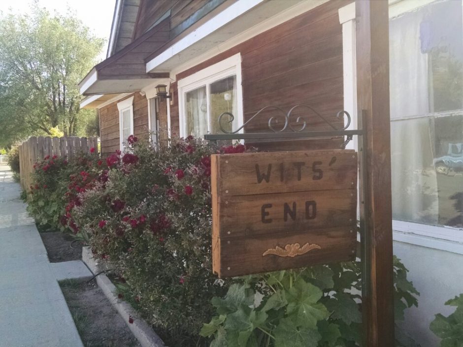 Rachel, another trail angel, comes by, and offers a ride to the Albertsons, 1.5 miles away. The town is kind of spread out into 3 or more big clumps, but transport is not a problem if you are wearing your pack, since townsfolk are quick to stop and offer rides to hikers. Rachel comes back and gives me a ride to my cheap motel in the center of town.
 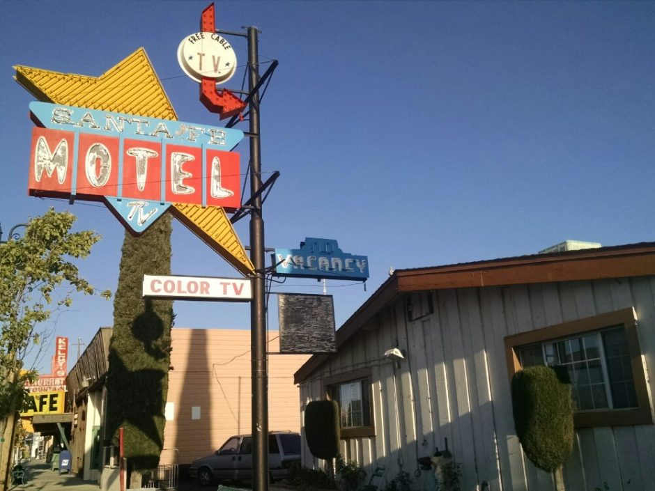 The wifi turns out to be poor, so I return to Wit’s End to use their Internet after cleaning up, and talk with more hikers, then return to my room for trip prep, and the first motel bed of the trip. New hiker names and faces to remember today include Mantis (from Vegas), Black Widow (from CT), Adam (from Poland!), Chance, starting a break to recover from injury, Chip, Heart and Soul, Birdie (Phx), Curdles and Level from back east, and Tripod, mentioned above.
 Cool and breezy, we hike a fast pace, and the climb seems easy, as we talk on the way up. The first water source is at 18 miles, where we meet Hotdog and Pinto. We carry enough water to dry camp, for the next source is 25 miles away. Wind turbines are with us all day, as is the cold wind.
 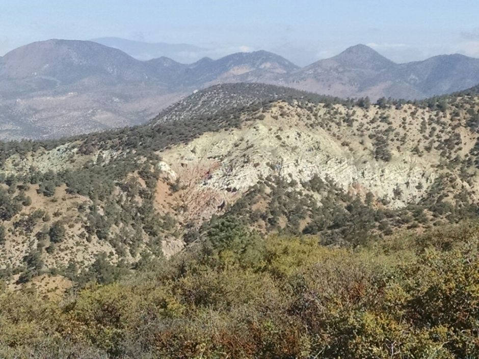 The camping area is popular, with over a dozen tent sites spread out, partially hidden.
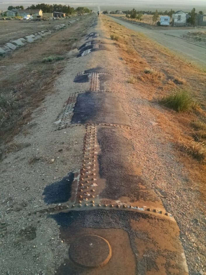
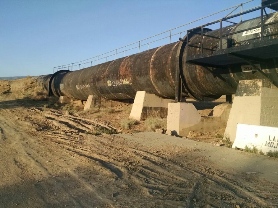 Later, after several miles, the pipe is completely buried under a thin slab of concrete and continues across the valley floor up to mountains on the other side.
  The air quickly warms as the sun gets higher, very hot indeed. Joshua Tree and creosote bush grow on bare sandy soil.
 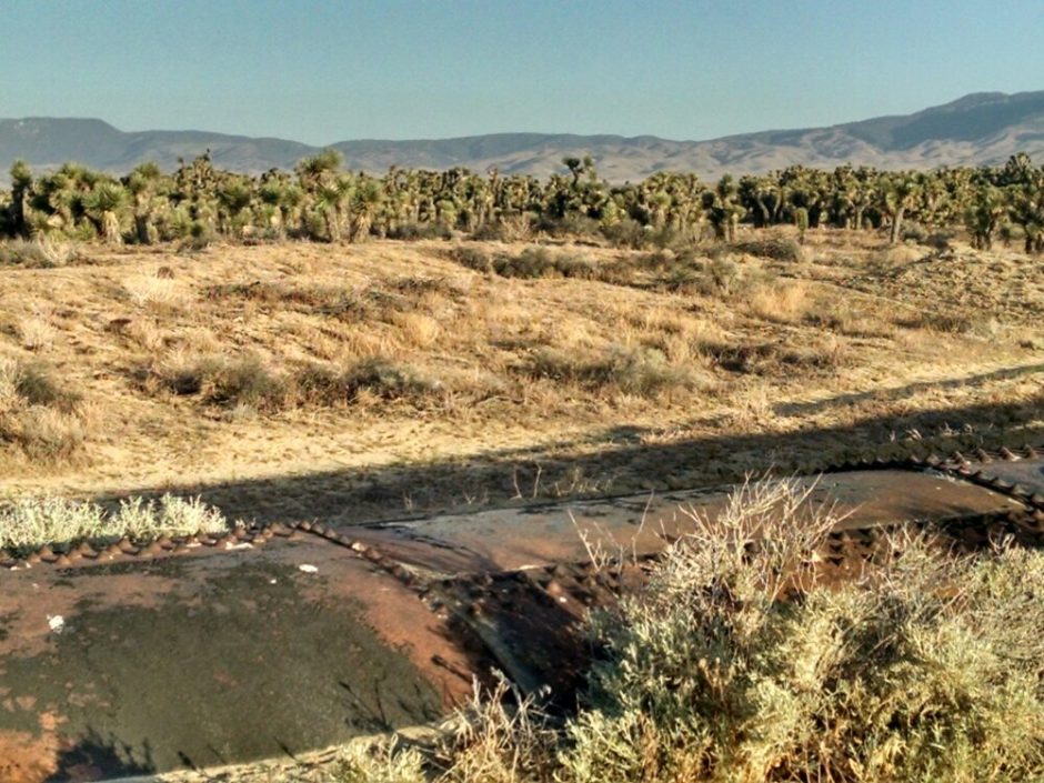 The trail passes by a wind farm, with larger wind turbines than we had seen before.
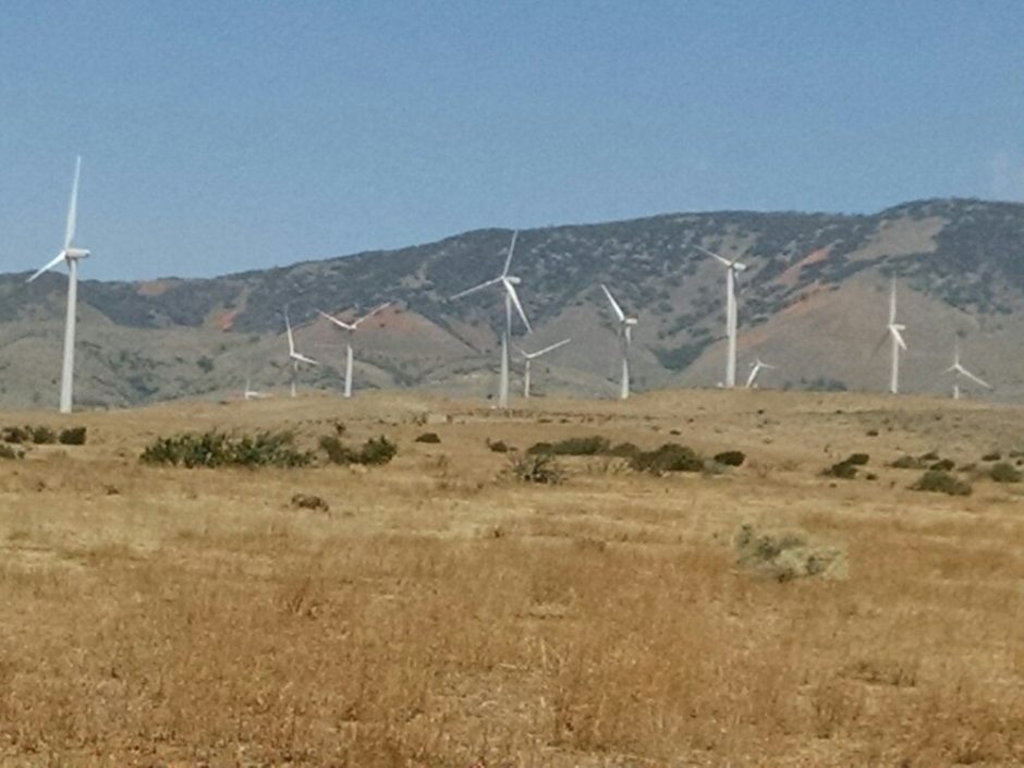
 Reaching and climbing the mountains on the other side, some elevation brings temperature relief.
 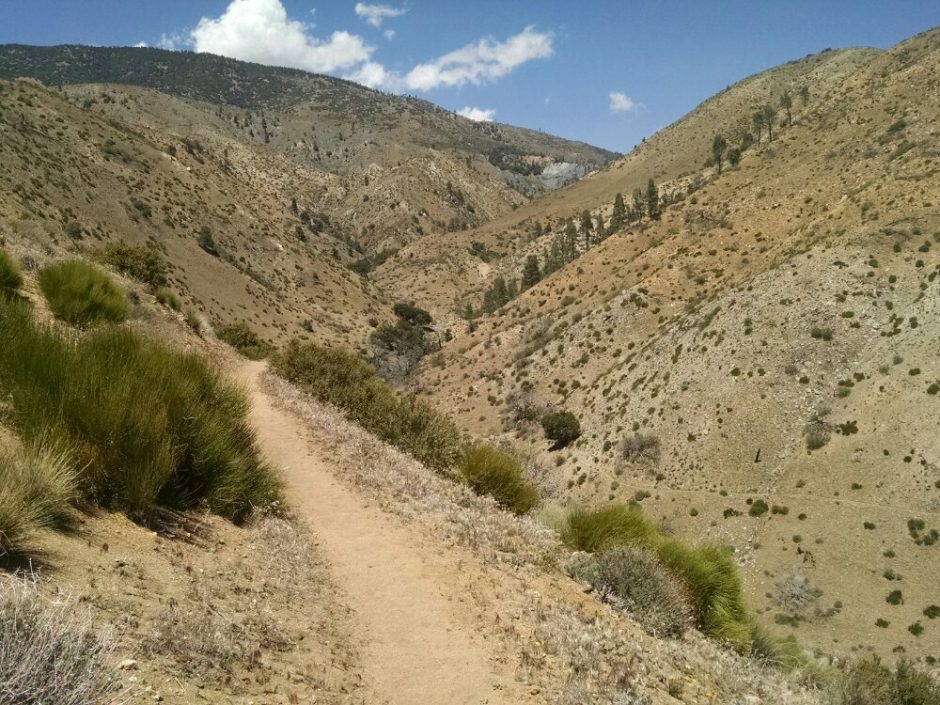 I resist making a dad joke about the PCT Association installing huge fans to cool hikers. Looking back, beyond the ridge in the foreground, one can view the desert valley floor and mountains on the other side, to see how much Mojave Desert we crossed today.
 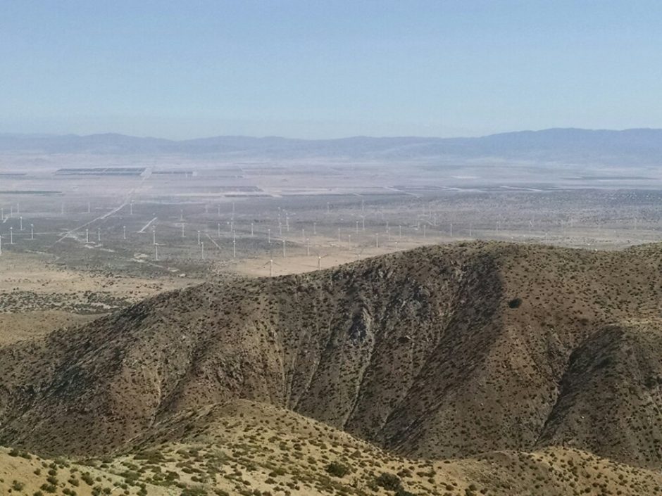 I camp near others on a high ridge near more wind turbines, and can hear the soft whoosh when they start and stop during the night.