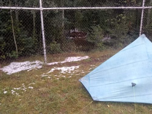
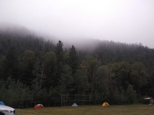
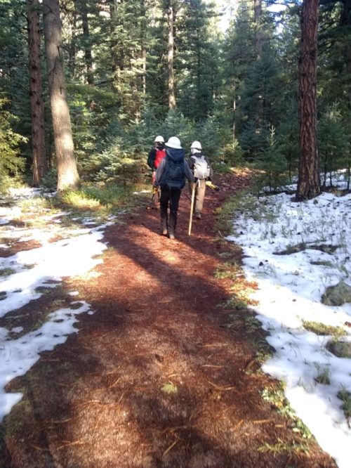
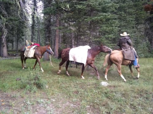
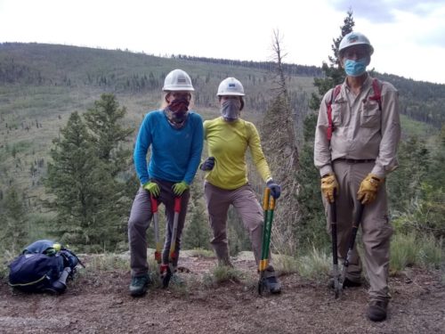
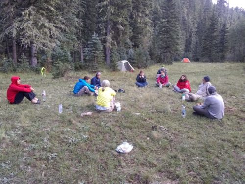
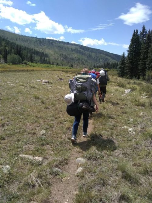
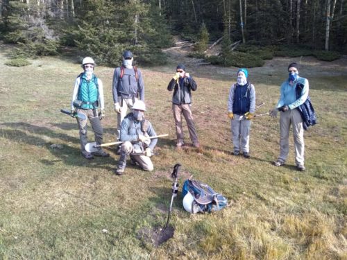
Seven NMVFO volunteers completed an unsupported backpack project (meaning no horse packs or cooks) , working on the Rio Nambe Trail and Lower Nambe Trail and Upper Nambe Trail in the Pecos Wilderness, sawing deadfalls and lopping. We gathered at Winsor Trailhead near the Santa Fe Ski Area, and hiked along Winsor Trail and Upper Nambe Trail to La Vega (Spanish: “the meadow”) to set up camp.
Then we backtracked on Upper Nambe and Winsor to the junction with Lower Nambe Trail. We took this circuitous route to avoid elevation changes and hiking more than necessary on Lower Nambe, known as the “Elevator Shaft”, a steep trail with few switchbacks.
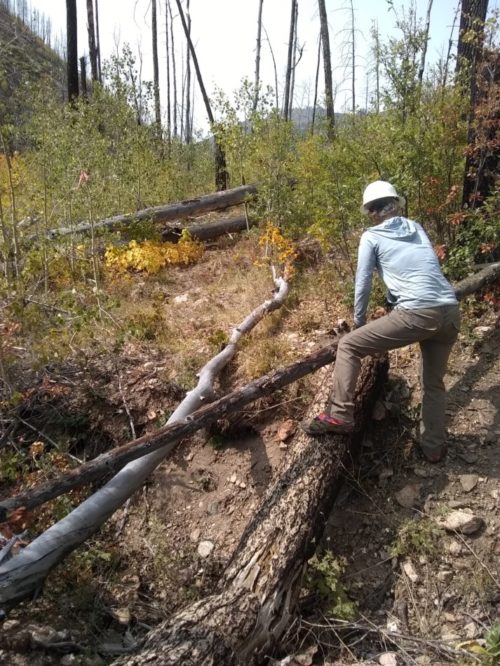
We spent the rest of the day sawing and lopping on Lower Nambe, working our way downhill to the junction with Rio Nambe Trail.
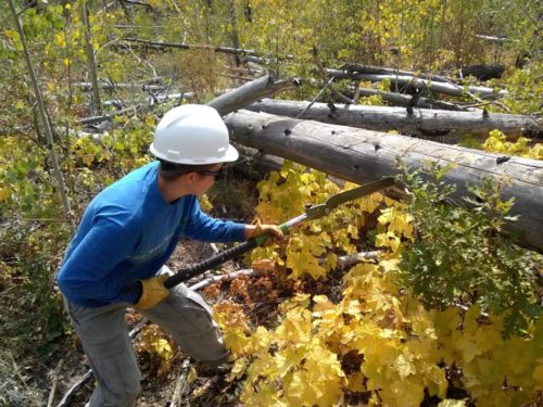
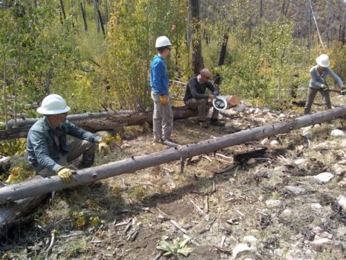
The two new Katanaboy 650 folding saws we recently acquired worked amazingly well on our small diameter aspens and spruce, and were much easier to carry than a traditional crosscut saw.
Continue reading “Rio Nambe Trail 2020”